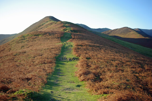
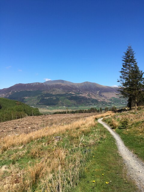
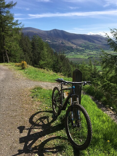
Howend Plantation
Wood, Forest in Cumberland Allerdale
England
Howend Plantation

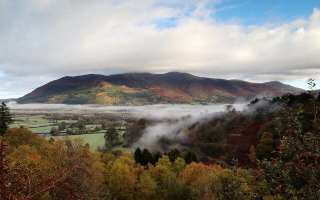
Howend Plantation, also known as Cumberland Wood or Cumberland Forest, is a vast and picturesque plantation located in Cumberland County, Virginia. Covering an area of approximately 500 acres, it is renowned for its stunning natural beauty and rich history.
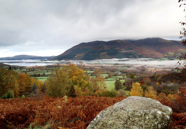
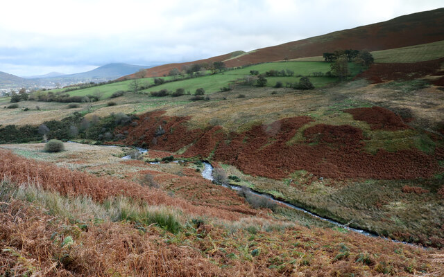
The plantation is characterized by its dense forest cover, consisting of a variety of tree species such as oak, pine, hickory, and maple. This lush woodland creates a tranquil and serene atmosphere, making it a popular destination for nature enthusiasts and hikers.
The Howend Plantation has a long and storied past, dating back to the early 18th century when it was first settled. It was initially used for agricultural purposes, primarily for growing tobacco and other crops. Over the years, the plantation transitioned into a timberland, as the demand for timber increased.
Today, the Howend Plantation is owned and managed by a conservation organization dedicated to preserving its natural beauty and promoting sustainable forestry practices. The plantation serves as a research and educational center, offering various programs and workshops on forestry, wildlife conservation, and environmental awareness.
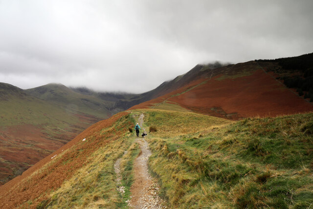
Visitors to Howend Plantation can enjoy a range of activities, including hiking, birdwatching, and photography. The well-maintained trails provide an opportunity to explore the diverse flora and fauna that call this plantation home.
In summary, Howend Plantation, Cumberland Wood, or Cumberland Forest is a stunning and historically significant plantation that offers a unique and immersive experience for nature lovers and history enthusiasts alike.
If you have any feedback on the listing, please let us know in the comments section below.
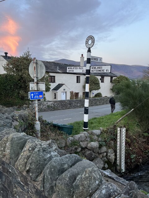
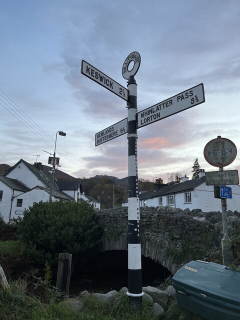
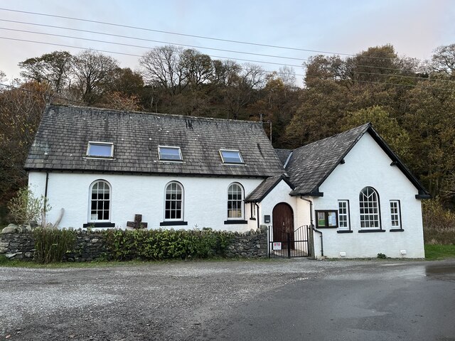
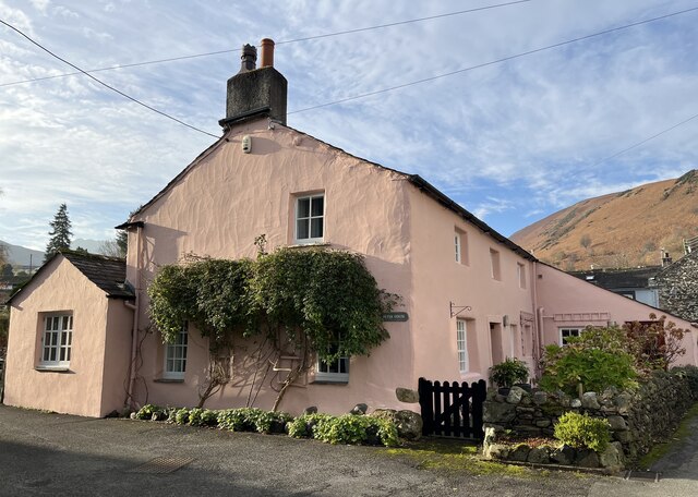
Howend Plantation Images
Images are sourced within 2km of 54.607403/-3.1937533 or Grid Reference NY2224. Thanks to Geograph Open Source API. All images are credited.


Howend Plantation is located at Grid Ref: NY2224 (Lat: 54.607403, Lng: -3.1937533)
Administrative County: Cumbria
District: Allerdale
Police Authority: Cumbria
What 3 Words
///like.graph.bounty. Near Keswick, Cumbria
Nearby Locations
Related Wikis
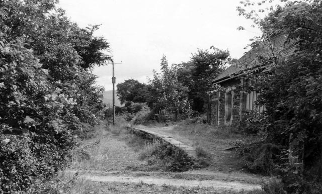
Braithwaite railway station
Braithwaite railway station was situated on the Cockermouth, Keswick and Penrith Railway between Penrith and Cockermouth in Cumbria, England. The station...

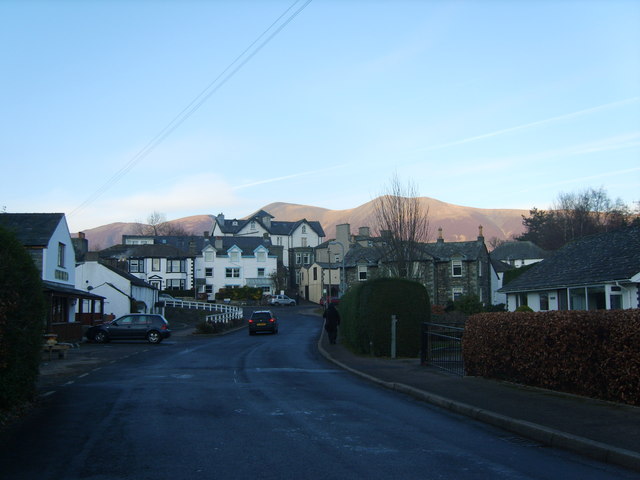
Braithwaite
Braithwaite is a village in the northern Lake District, in Cumbria, England. Historically in Cumberland, it lies just to the west of Keswick and to the...
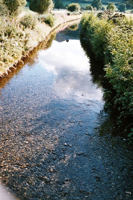
Coledale Beck
Coledale Beck is a minor river running through Cumbria in England. == Course == The beck rises north east of Eel Crag, where Pudding Beck meets Birkthwaite...

Thornthwaite
Thornthwaite is a village in Cumbria, England. Historically in Cumberland, it is just off the A66 road, south of Bassenthwaite Lake and within the Lake...

Chapel Beck
Chapel Beck is a minor river in the county of Cumbria in England. The beck rises in the Whinlatter Forest in the Lake District at the confluence of Grisedale...
Portinscale
Portinscale is a village in Cumbria, England, close to the western shore of Derwentwater in the Lake District National Park 1+1⁄2 miles (2.5 kilometres...

Swinside (Derwent Water)
Swinside is a hill in the northwestern area of the English Lake District. It is small, wooded and surrounded by much bigger and more popular fells, meaning...

Newlands Beck
Newlands Beck is a minor river of Cumbria in England. The beck rises on Dale Head and flows northwards through the picturesque Newlands Valley, past the...
Nearby Amenities
Located within 500m of 54.607403,-3.1937533Have you been to Howend Plantation?
Leave your review of Howend Plantation below (or comments, questions and feedback).