Ladstock Wood
Wood, Forest in Cumberland Allerdale
England
Ladstock Wood
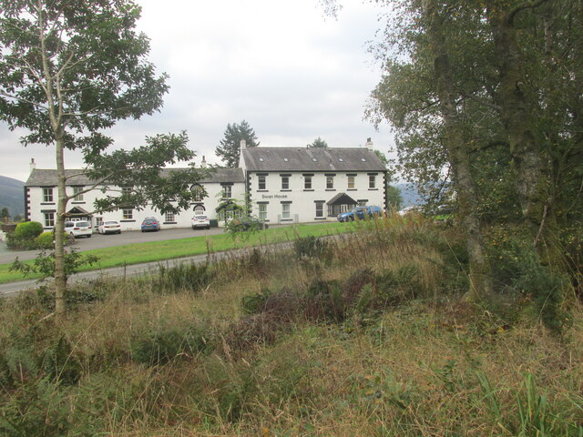
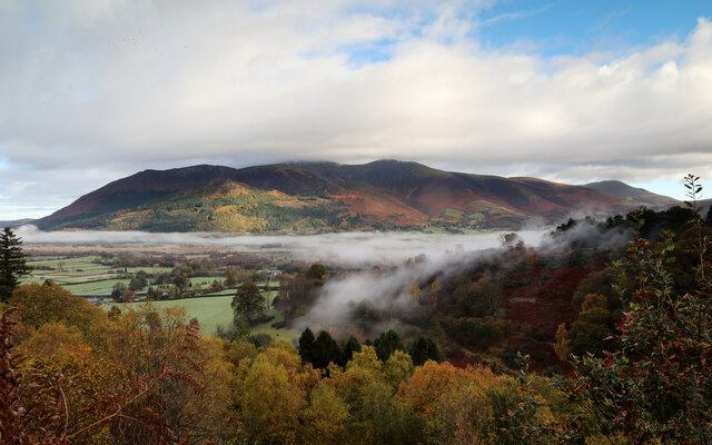
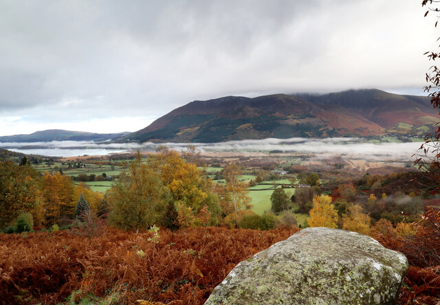
Ladstock Wood is a picturesque forest located in Cumberland, a county in the northwest of England. This wood is situated near the village of Ladstock, which is known for its tranquil surroundings and natural beauty.
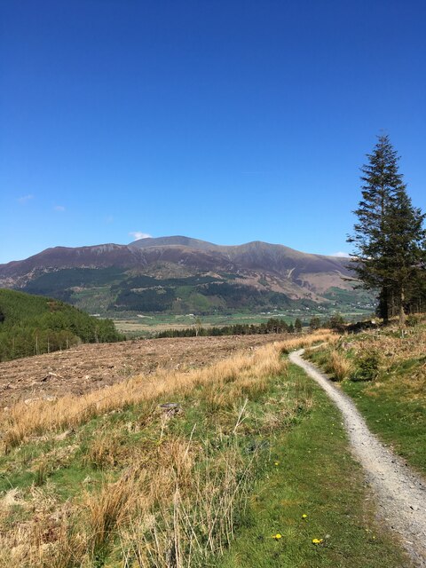
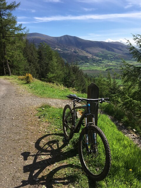
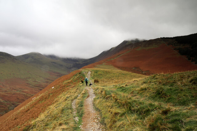
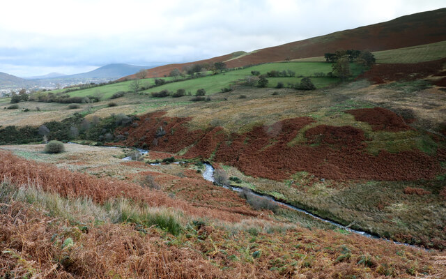
Covering an area of approximately 100 acres, Ladstock Wood is predominantly made up of deciduous trees such as oak, beech, and birch. These trees create a dense canopy that provides shade and shelter for a diverse range of wildlife. Visitors can expect to see a variety of bird species including woodpeckers, jays, and owls, as well as small mammals like foxes, squirrels, and rabbits.
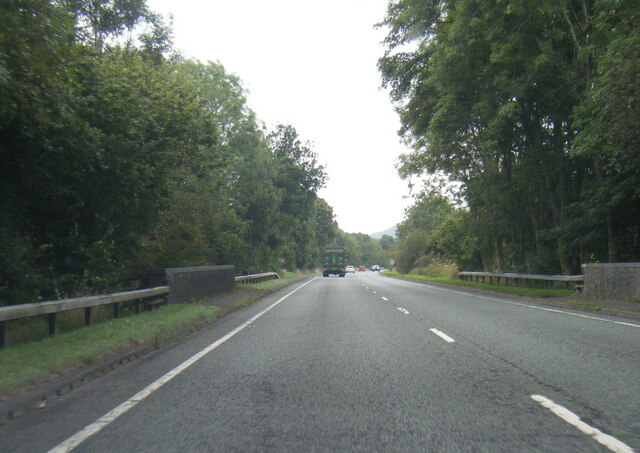
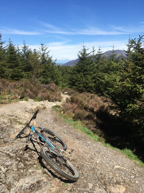
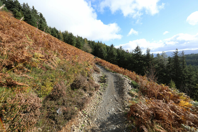
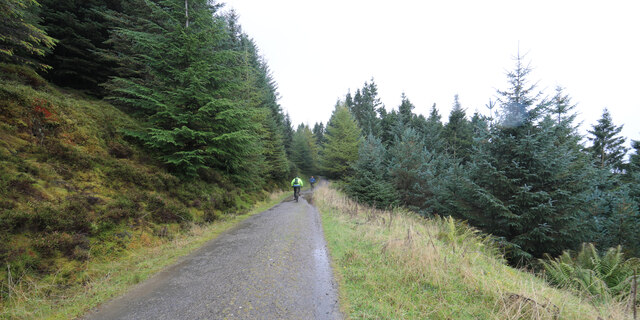
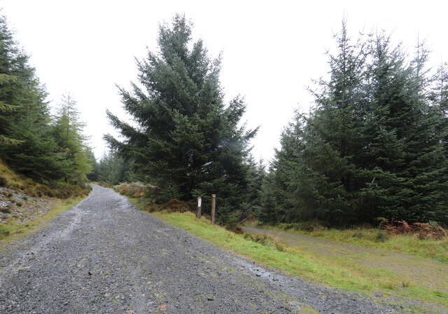
The wood is crisscrossed by a network of well-maintained footpaths, allowing visitors to explore the area and experience its natural splendor. The paths wind through the forest, offering glimpses of hidden glades and babbling brooks. In spring, the forest floor is carpeted with bluebells, creating a stunning display of color.
Ladstock Wood is a popular destination for both nature lovers and outdoor enthusiasts. The tranquil atmosphere and beautiful surroundings make it an ideal place for walking, picnicking, and photography. There are also designated areas within the wood where visitors can enjoy a picnic or simply sit and soak up the peaceful atmosphere.
Overall, Ladstock Wood is a true gem of Cumberland, offering visitors a chance to escape the hustle and bustle of everyday life and immerse themselves in the beauty of nature.
If you have any feedback on the listing, please let us know in the comments section below.
Ladstock Wood Images
Images are sourced within 2km of 54.611969/-3.2063673 or Grid Reference NY2224. Thanks to Geograph Open Source API. All images are credited.
Ladstock Wood is located at Grid Ref: NY2224 (Lat: 54.611969, Lng: -3.2063673)
Administrative County: Cumbria
District: Allerdale
Police Authority: Cumbria
What 3 Words
///whirlwind.crusaders.banquets. Near Keswick, Cumbria
Nearby Locations
Related Wikis

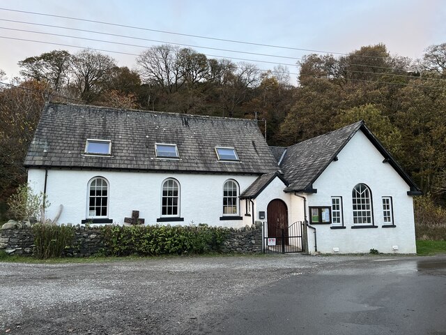
Thornthwaite
Thornthwaite is a village in Cumbria, England. Historically in Cumberland, it is just off the A66 road, south of Bassenthwaite Lake and within the Lake...
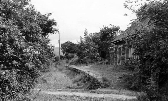
Braithwaite railway station
Braithwaite railway station was situated on the Cockermouth, Keswick and Penrith Railway between Penrith and Cockermouth in Cumbria, England. The station...

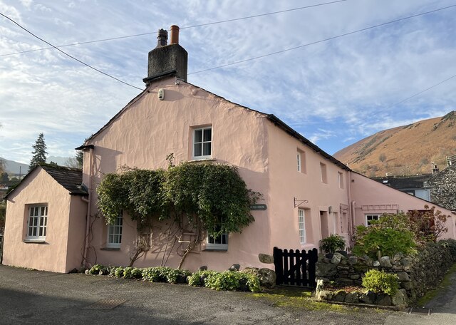
Braithwaite
Braithwaite is a village in the northern Lake District, in Cumbria, England. Historically in Cumberland, it lies just to the west of Keswick and to the...

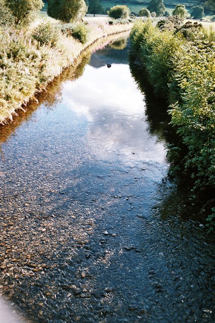
Chapel Beck
Chapel Beck is a minor river in the county of Cumbria in England. The beck rises in the Whinlatter Forest in the Lake District at the confluence of Grisedale...

Newlands Beck
Newlands Beck is a minor river of Cumbria in England. The beck rises on Dale Head and flows northwards through the picturesque Newlands Valley, past the...
Coledale Beck
Coledale Beck is a minor river running through Cumbria in England. == Course == The beck rises north east of Eel Crag, where Pudding Beck meets Birkthwaite...

Barf (Lake District)
Barf is a fell in the north-western Lake District in Cumbria, UK. It stands on the south-western shore of Bassenthwaite Lake. Barf is well known for a...

Lord's Seat
Lord's Seat is a fell in the English Lake District. It is the highest of the group of hills north of Whinlatter Pass in the North Western Fells. The slopes...
Nearby Amenities
Located within 500m of 54.611969,-3.2063673Have you been to Ladstock Wood?
Leave your review of Ladstock Wood below (or comments, questions and feedback).