Redness Point
Coastal Feature, Headland, Point in Cumberland Allerdale
England
Redness Point
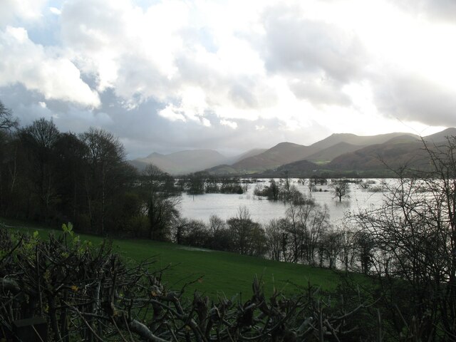
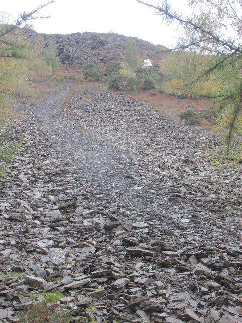
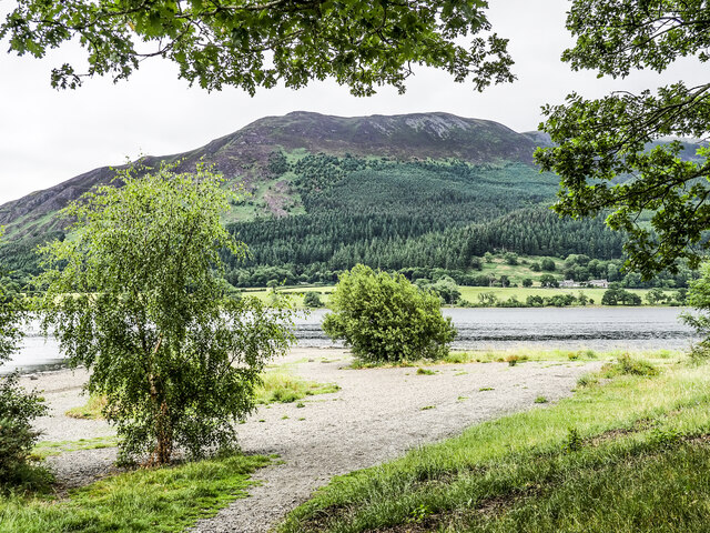
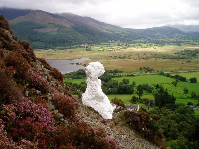
Redness Point is a prominent coastal feature located on the Cumberland coast in the United Kingdom. It is classified as a headland and is known for its distinctive red cliffs, which give it its name. The point juts out into the sea, creating a natural boundary between two adjacent beaches.
The headland of Redness Point is composed of sedimentary rocks, primarily sandstone and shale, which have been weathered over time, resulting in the striking red coloration. The cliffs reach a height of approximately 50 meters, offering breathtaking views of the surrounding coastline and the vast expanse of the Atlantic Ocean.
Redness Point plays a significant role in coastal erosion and sediment deposition. The powerful waves and currents of the Atlantic Ocean constantly batter the cliffs, causing them to erode gradually. As a result, sediment is carried away by the sea, contributing to the formation of nearby beaches.
The area surrounding Redness Point is rich in biodiversity, with a variety of plant and animal species thriving in its unique coastal environment. The cliffs provide nesting sites for seabirds, including guillemots and kittiwakes, while the adjacent beaches serve as important breeding grounds for marine turtles and seals.
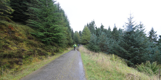
Redness Point attracts a significant number of visitors each year, who come to admire its natural beauty and engage in outdoor activities such as hiking, birdwatching, and photography. The headland is easily accessible by foot, with well-maintained paths and trails leading to its summit.
If you have any feedback on the listing, please let us know in the comments section below.
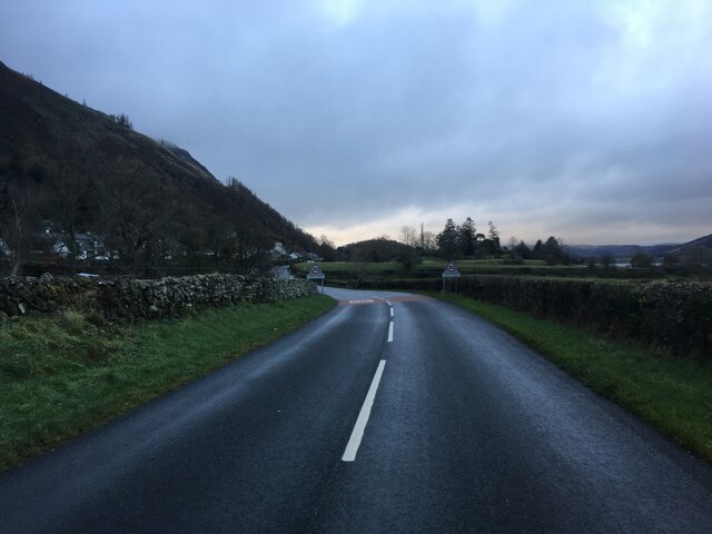
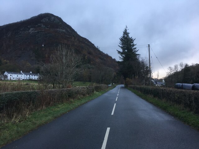
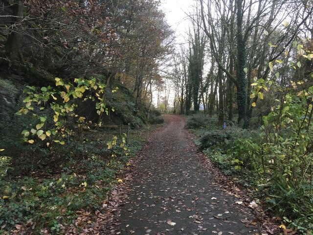
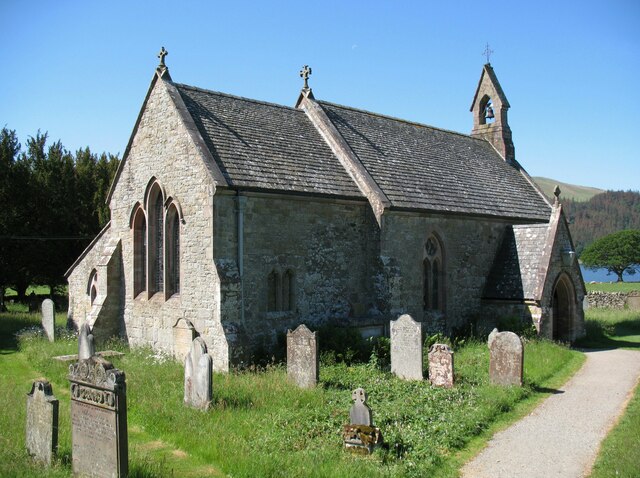
Redness Point Images
Images are sourced within 2km of 54.630152/-3.1953336 or Grid Reference NY2226. Thanks to Geograph Open Source API. All images are credited.

Redness Point is located at Grid Ref: NY2226 (Lat: 54.630152, Lng: -3.1953336)
Administrative County: Cumbria
District: Allerdale
Police Authority: Cumbria
What 3 Words
///newly.richer.purchaser. Near Keswick, Cumbria
Nearby Locations
Related Wikis

Newlands Beck
Newlands Beck is a minor river of Cumbria in England. The beck rises on Dale Head and flows northwards through the picturesque Newlands Valley, past the...

Chapel Beck
Chapel Beck is a minor river in the county of Cumbria in England. The beck rises in the Whinlatter Forest in the Lake District at the confluence of Grisedale...

Little Crosthwaite
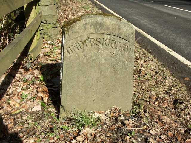
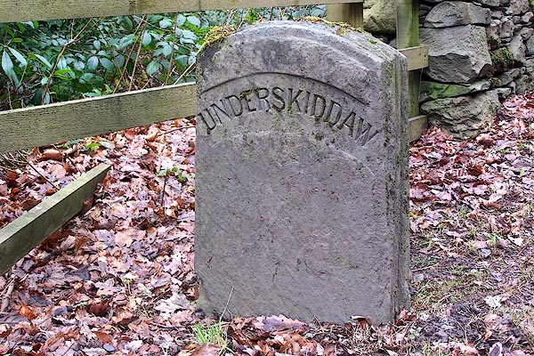
Little Crosthwaite is a hamlet in the Borough of Allerdale in the English county of Cumbria. It forms part of the civil parish of Underskiddaw. Little...

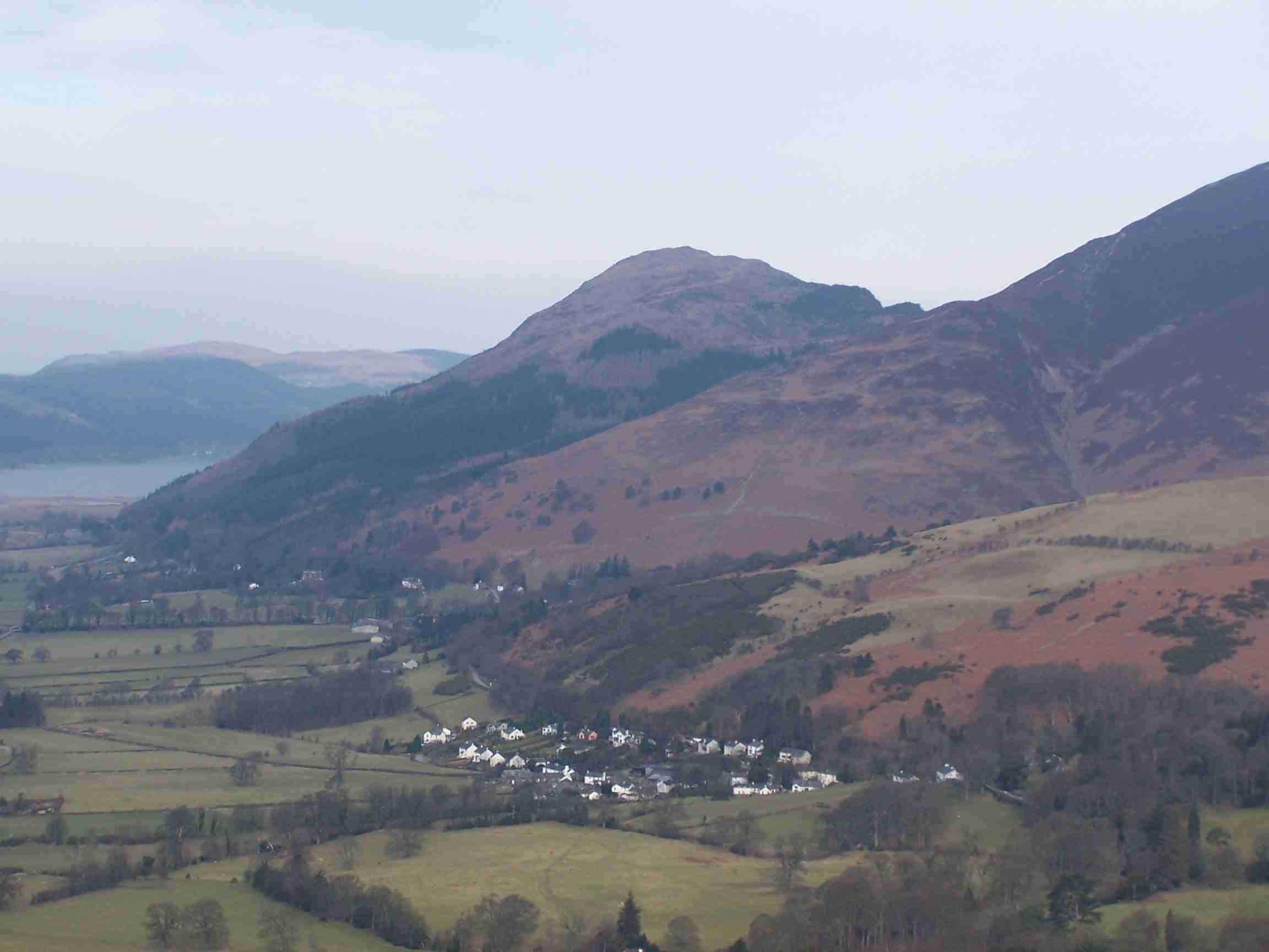
Thornthwaite
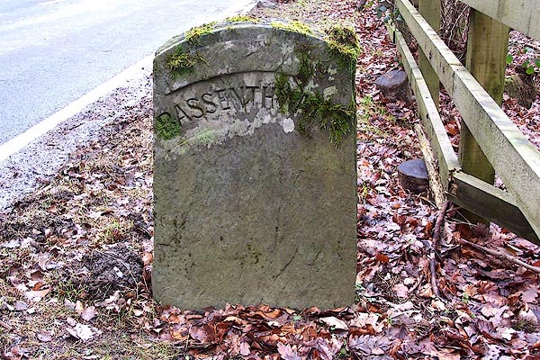
Thornthwaite is a village in Cumbria, England. Historically in Cumberland, it is just off the A66 road, south of Bassenthwaite Lake and within the Lake...

Barf (Lake District)
Barf is a fell in the north-western Lake District in Cumbria, UK. It stands on the south-western shore of Bassenthwaite Lake. Barf is well known for a...

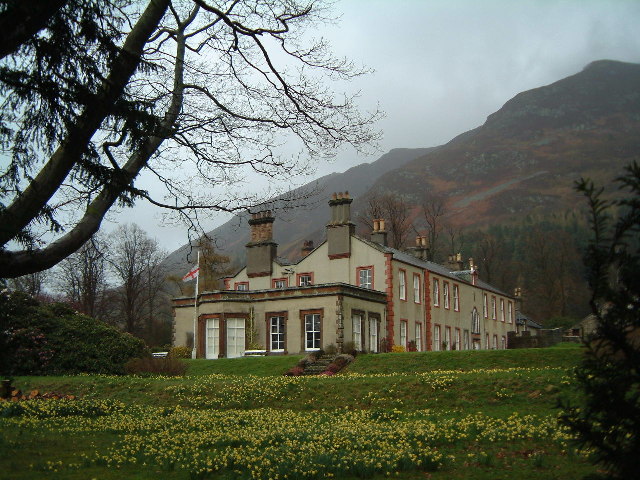
Mirehouse
Mirehouse is a 17th-century house to the north of Keswick in Cumbria, at the foot of Dodd, near Bassenthwaite Lake and St Bega's Church, on the A591 road...
Dodd (Lake District)
Dodd is a small fell in the Lake District, Cumbria, England, four kilometres north-west of Keswick. It forms part of the Skiddaw range in the northern...

Ullock Pike
Ullock Pike is a fell situated in northern part of the English Lake District. It is located seven kilometres north west of Keswick and achieves a height...
Nearby Amenities
Located within 500m of 54.630152,-3.1953336Have you been to Redness Point?
Leave your review of Redness Point below (or comments, questions and feedback).