Bassenthwaite Lake

Lake, Pool, Pond, Freshwater Marsh in Cumberland Allerdale

England

Bassenthwaite Lake

Floods near Keswick in 2009 Considered by researchers to be the worst floods in the area for 600 years, the floods of November 2009 joined Bassenthwaite Lake and Derwentwater to form a single lake for the first time in over a century.  The low lying land at the head of Bassenthwaite Lake was entirely flooded.
The lakes had originally formed as a single lake, but the alluvial fan from the River Greta extended across the valley dividing it in two.  The December 2015 floods again re-joined the lakes.
Floods near Keswick in 2009 Credit: Adrian Taylor

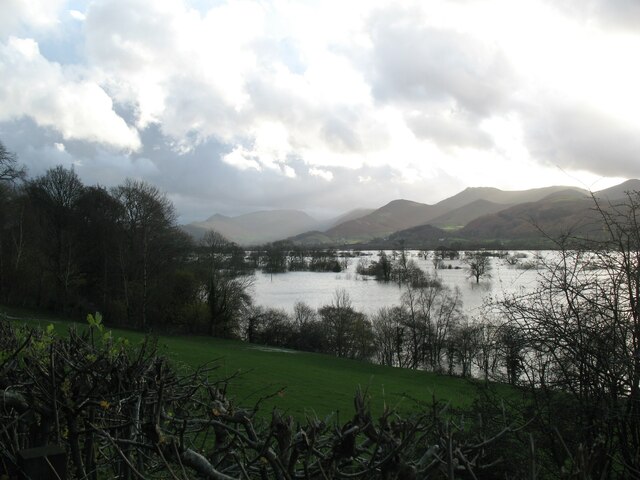
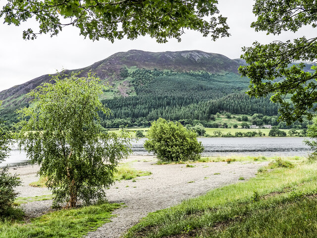
Bassenthwaite Lake, located in the county of Cumberland, England, is a large body of water known for its picturesque beauty and ecological significance. It is the only official lake in the Lake District National Park that bears the title "lake" in its name.

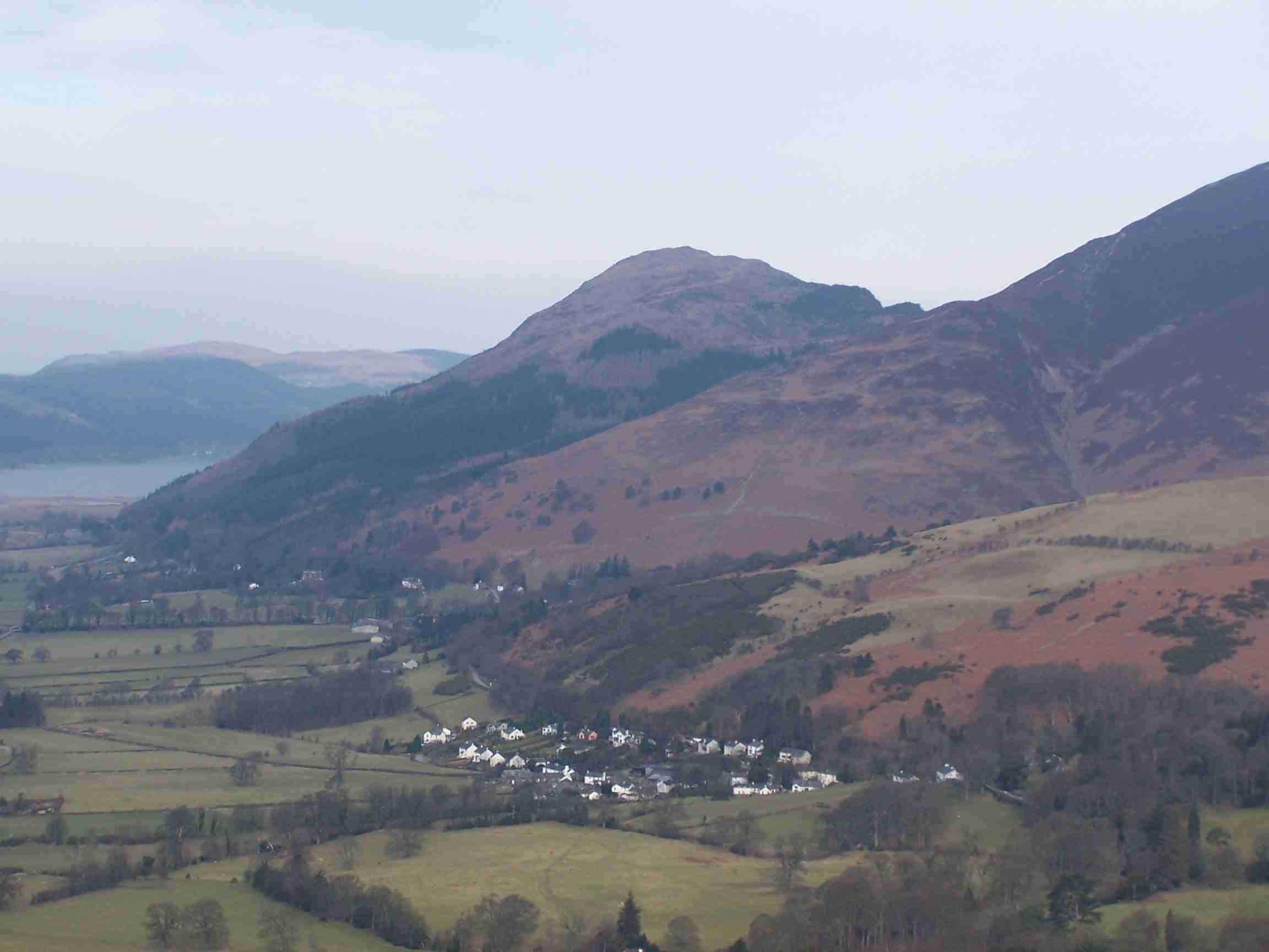
Covering an area of approximately 4 square miles, Bassenthwaite Lake is situated at the foot of the Skiddaw mountain range, making it a popular tourist destination for those seeking to explore the natural wonders of the Lake District. The lake is fed by several streams and rivers, including the River Derwent, and its waters are predominantly fresh and clear.

Surrounded by lush greenery and rolling hills, Bassenthwaite Lake offers a serene and tranquil atmosphere for visitors. It is an important habitat for various species of wildlife, particularly birds. The lake is home to a variety of waterfowl, including ducks, swans, and herons, making it a haven for birdwatchers and nature enthusiasts.

Bassenthwaite Lake also provides opportunities for recreational activities, such as boating, fishing, and sailing. It is a popular spot for anglers, as the lake is known for its healthy population of brown trout, pike, and perch.

Additionally, the lake is bordered by a freshwater marsh, which serves as a vital habitat for wetland plants and animals. This marshland plays a significant role in maintaining the ecological balance of the area, supporting a diverse range of flora and fauna.

Overall, Bassenthwaite Lake is a natural gem within the Lake District National Park, offering visitors a chance to immerse themselves in the region's stunning scenery and rich biodiversity.

If you have any feedback on the listing, please let us know in the comments section below.

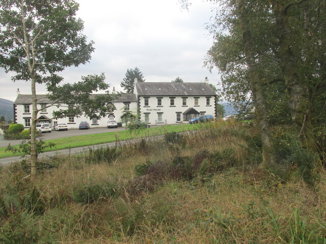
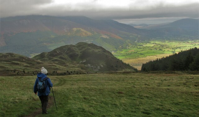
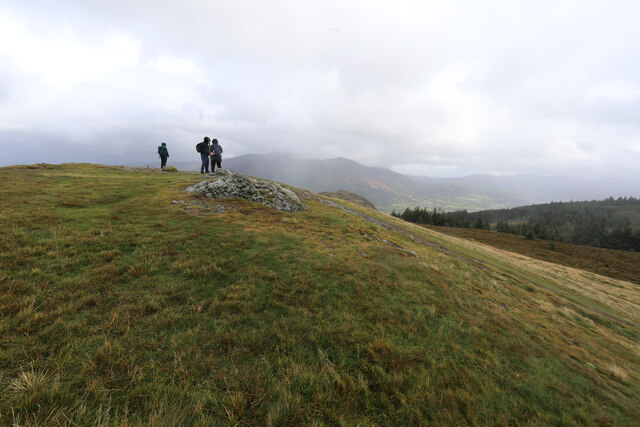
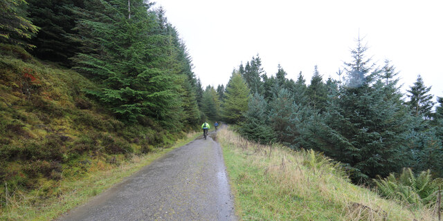
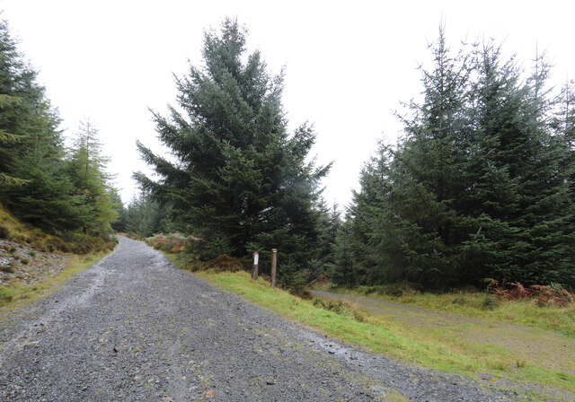
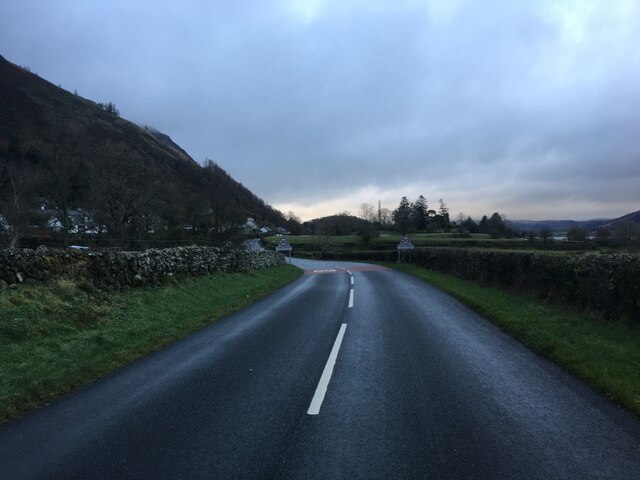
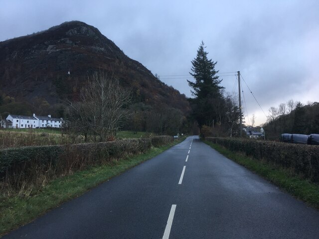
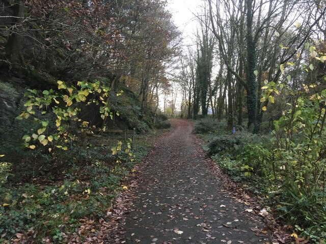
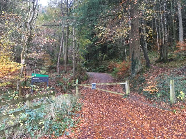
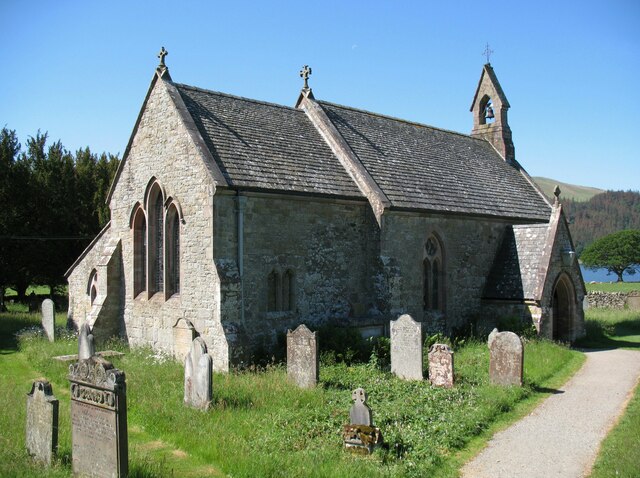
Bassenthwaite Lake Images

Images are sourced within 2km of 54.630589/-3.2038511 or Grid Reference NY2226. Thanks to Geograph Open Source API. All images are credited.

Floods near Keswick in 2009 Considered by researchers to be the worst floods in the area for 600 years, the floods of November 2009 joined Bassenthwaite Lake and Derwentwater to form a single lake for the first time in over a century.  The low lying land at the head of Bassenthwaite Lake was entirely flooded.
The lakes had originally formed as a single lake, but the alluvial fan from the River Greta extended across the valley dividing it in two.  The December 2015 floods again re-joined the lakes.
Floods near Keswick in 2009
Considered by researchers to be the worst floods in the area for 600 years, the floods of November 2009 joined Bassenthwaite Lake and Derwentwater to form a single lake for the first time in over a century. The low lying land at the head of Bassenthwaite Lake was entirely flooded. The lakes had originally formed as a single lake, but the alluvial fan from the River Greta extended across the valley dividing it in two. The December 2015 floods again re-joined the lakes.
A66 at Beck Wythop
A66 at Beck Wythop
A66 near Hursthole Point
A66 near Powter How
A66 near Powter How
Swan House Former public house?
Swan House
Former public house?
Path up scree to The  Bishop It's a rough path.
Path up scree to The Bishop
It's a rough path.
The path from Lord's Seat Walking back downhill with great views over Barf.
The path from Lord's Seat
Walking back downhill with great views over Barf.
Benchmark on Thornthwaite Chapel, Thornwaite Benchmark description <span class="nowrap"><a title="https://www.bench-marks.org.uk/bm123734" rel="nofollow ugc noopener" href="https://www.bench-marks.org.uk/bm123734">Link</a><img style="margin-left:2px;" alt="External link" title="External link - shift click to open in new window" src="https://s1.geograph.org.uk/img/external.png" width="10" height="10"/></span>
Benchmark on Thornthwaite Chapel, Thornwaite
Benchmark description LinkExternal link
Not ideal weather for seated Lords It was a bit of a struggle to get to the top of Lord's Seat and definitely not a place for sitting down as the wind was rising towards a gale. Both ourselves and the folk we met on top had decided that it really was a bit too rough to continue the traverse to Barf, just visible ahead. Almost obscured by fast moving cloud, the Skiddaw group is in the far distance.
Not ideal weather for seated Lords
It was a bit of a struggle to get to the top of Lord's Seat and definitely not a place for sitting down as the wind was rising towards a gale. Both ourselves and the folk we met on top had decided that it really was a bit too rough to continue the traverse to Barf, just visible ahead. Almost obscured by fast moving cloud, the Skiddaw group is in the far distance.
Mountain bikers keeping out of the wind in Whinlatter Forest Definitely not a day to be riding out in the open as the wind was getting up towards gale force and gusty with it. Fortunately, Whinlatter Forest provides a lot of relatively sheltered trails.
Mountain bikers keeping out of the wind in Whinlatter Forest
Definitely not a day to be riding out in the open as the wind was getting up towards gale force and gusty with it. Fortunately, Whinlatter Forest provides a lot of relatively sheltered trails.
Track junction in Beckstones Plantation
Road approaching Thornthwaite
Road at Powter How, Thornthwaite
Cycle path near Wythop Wood
Entrance into Wythop Wood
St Bega’s Church, Bassenthwaite
Line of trees at field edge The trees line the edge of a field where there's a track of some kind in the area of flat agricultural land south of Bassenthwaite.
Ridges rising to The Dodd and to Carl Side are at the left side of the image and low cloud obscures Skiddaw Little Man.
Line of trees at field edge
The trees line the edge of a field where there's a track of some kind in the area of flat agricultural land south of Bassenthwaite. Ridges rising to The Dodd and to Carl Side are at the left side of the image and low cloud obscures Skiddaw Little Man.
Blackstock Point Blackstock Point is a promontory into Bassenthwaite from its south-western shore.
Longside Edge, a prominent ridge of the Skiddaw group of mountains is in the distance.
Blackstock Point
Blackstock Point is a promontory into Bassenthwaite from its south-western shore. Longside Edge, a prominent ridge of the Skiddaw group of mountains is in the distance.
Show me another place!

Bassenthwaite Lake is located at Grid Ref: NY2226 (Lat: 54.630589, Lng: -3.2038511)

Administrative County: Cumbria

District: Allerdale

Police Authority: Cumbria

What 3 Words

///pages.summaries.sector. Near Keswick, Cumbria

Related Wikis

Newlands Beck

Newlands Beck is a minor river of Cumbria in England. The beck rises on Dale Head and flows northwards through the picturesque Newlands Valley, past the...

Barf (Lake District)

Barf is a fell in the north-western Lake District in Cumbria, UK. It stands on the south-western shore of Bassenthwaite Lake. Barf is well known for a...

Chapel Beck

Chapel Beck is a minor river in the county of Cumbria in England. The beck rises in the Whinlatter Forest in the Lake District at the confluence of Grisedale...

Little Crosthwaite

Little Crosthwaite is a hamlet in the Borough of Allerdale in the English county of Cumbria. It forms part of the civil parish of Underskiddaw. Little...

Thornthwaite

Thornthwaite is a village in Cumbria, England. Historically in Cumberland, it is just off the A66 road, south of Bassenthwaite Lake and within the Lake...

Mirehouse

Mirehouse is a 17th-century house to the north of Keswick in Cumbria, at the foot of Dodd, near Bassenthwaite Lake and St Bega's Church, on the A591 road...

Lord's Seat

Lord's Seat is a fell in the English Lake District. It is the highest of the group of hills north of Whinlatter Pass in the North Western Fells. The slopes...

Dodd (Lake District)

Dodd is a small fell in the Lake District, Cumbria, England, four kilometres north-west of Keswick. It forms part of the Skiddaw range in the northern...

Nearby Amenities

Located within 500m of 54.630589,-3.2038511
Windyhill Wood
Natural: wood
Source: Os OPenData StreetView
Lat/Long: 54.6295013/-3.2107382
Parking
Access: yes
Fee: no
Park Ride: no
Parking: lane
Supervised: no
Surface: asphalt
Lat/Long: 54.6267084/-3.2029988
Post Box
Brand: Royal Mail
Brand Wikidata: Q638098
Mapillary: 3394449350824451
Operator: Royal Mail
Operator Wikidata: Q638098
Post Box Mounting: stone_pillar
Post Box Type: wall
Ref: CA12 124
Survey Date: 2022-09-05
Lat/Long: 54.6275832/-3.2092055
Windyhill Lead Mine
Disused: yes
Man Made: mine
Mineral: lead
Lat/Long: 54.6302517/-3.2108718
Wood End
Place: locality
Lat/Long: 54.6329691/-3.2084918
Powter How
Place: locality
Lat/Long: 54.6273272/-3.2073318
Ele: 135
Natural: peak
Lat/Long: 54.629582/-3.2075653
Powter Howe
Addr City: Thornthwaite
Addr Postcode: CA12 5SQ
Phone: +44 17687 78415
Tourism: guest_house
Website: http://powter-howe.co.uk/details.html
Lat/Long: 54.6274881/-3.2064956
Give Way
Direction: forward
Lat/Long: 54.6276455/-3.2092668
Give Way
Direction: forward
Lat/Long: 54.6275135/-3.2092674
Give Way
Direction: forward
Lat/Long: 54.6274801/-3.209384
Power: pole
Lat/Long: 54.6272933/-3.20728
Power: pole
Lat/Long: 54.6265606/-3.2069565
Power: pole
Lat/Long: 54.6269163/-3.2050723
Power: pole
Lat/Long: 54.6277859/-3.2050875
Power: pole
Lat/Long: 54.6286178/-3.205094
Power: pole
Lat/Long: 54.6295264/-3.2051178
The data included in this document is from www.openstreetmap.org. The data is made available under ODbL.

Have you been to Bassenthwaite Lake?

Leave your review of Bassenthwaite Lake below (or comments, questions and feedback).