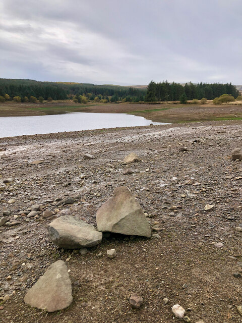
Drumain Reservoir
Lake, Pool, Pond, Freshwater Marsh in Fife
Scotland
Drumain Reservoir
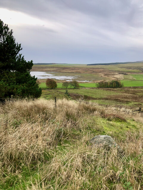
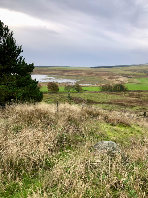
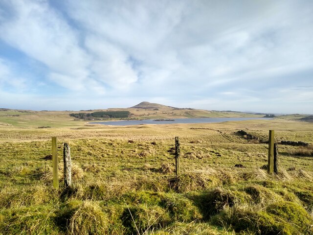
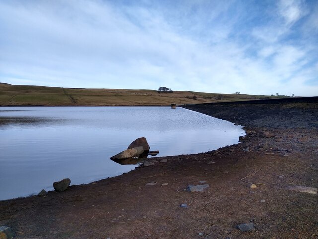
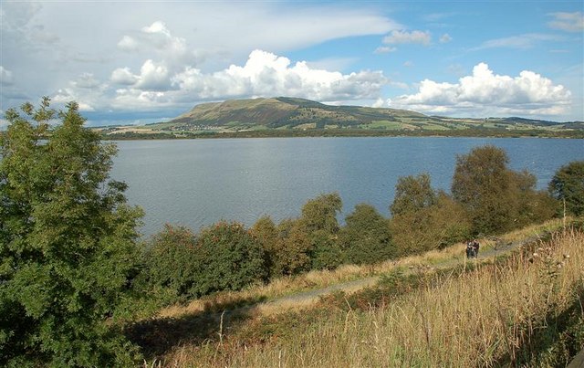
Drumain Reservoir, located in Fife, Scotland, is a picturesque freshwater loch nestled amidst the rolling hills and serene countryside. This man-made reservoir serves multiple purposes and offers a range of recreational activities for visitors to enjoy.
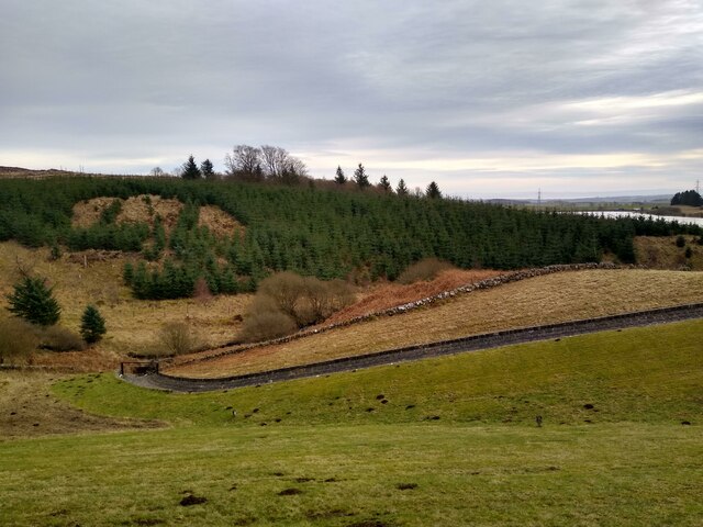
Covering an area of approximately 40 hectares, Drumain Reservoir was constructed in the 19th century to supply water to the surrounding towns and villages. The reservoir is fed by several small streams and its water is predominantly used for domestic and industrial purposes.
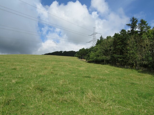
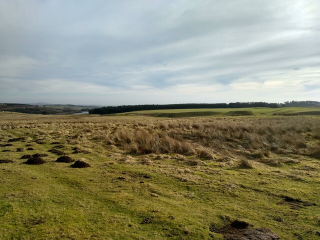
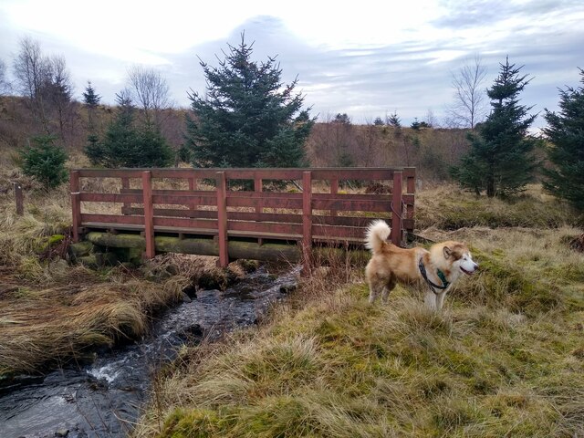
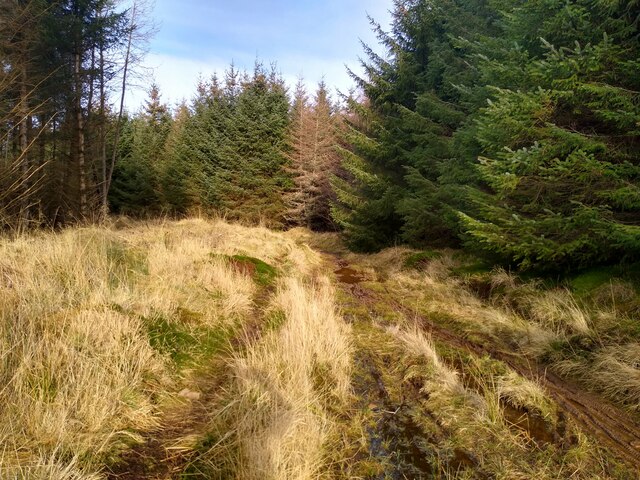
Surrounded by lush greenery, Drumain Reservoir boasts a diverse ecosystem, attracting a wide variety of bird species. This makes it a popular spot for birdwatchers, who can observe species such as herons, ducks, and swans gracefully gliding on the water's surface. The surrounding vegetation also provides an ideal habitat for small mammals, including voles and rabbits.
For those seeking outdoor activities, Drumain Reservoir offers opportunities for fishing, with a variety of freshwater fish species inhabiting its depths. Anglers can try their luck at catching brown trout, rainbow trout, and perch. The tranquil atmosphere and scenic surroundings make it an ideal spot to spend a peaceful day casting a line.
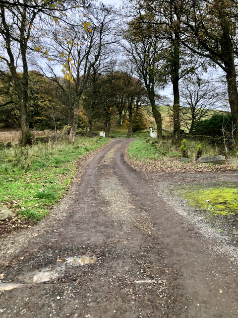
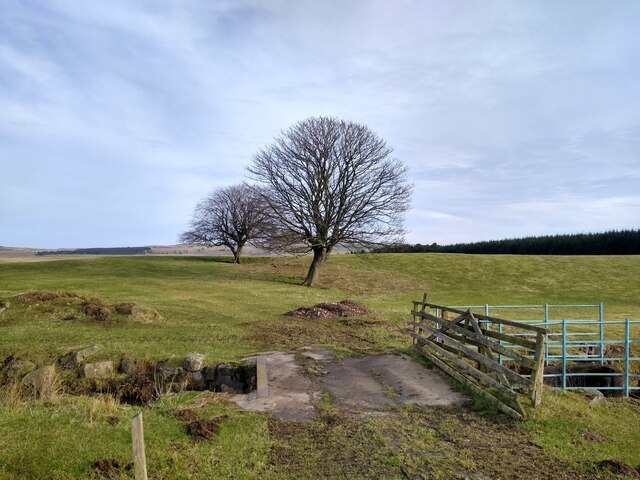
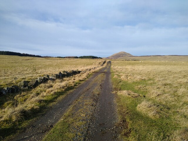
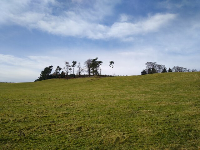
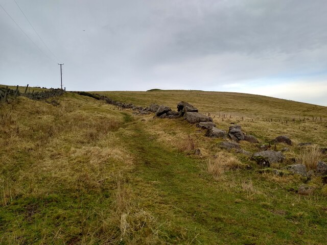
The reservoir is also frequented by walkers and hikers, who can explore the surrounding trails and enjoy the breathtaking views of the surrounding countryside. The area is known for its rich biodiversity, and visitors can often spot a variety of plants and wildflowers along the paths.
In conclusion, Drumain Reservoir is a charming freshwater loch in Fife, Scotland, known for its scenic beauty and recreational opportunities. Whether one is interested in birdwatching, fishing, or simply enjoying a leisurely walk, this reservoir offers a peaceful escape into nature.
If you have any feedback on the listing, please let us know in the comments section below.
Drumain Reservoir Images
Images are sourced within 2km of 56.224592/-3.2537347 or Grid Reference NO2204. Thanks to Geograph Open Source API. All images are credited.
Drumain Reservoir is located at Grid Ref: NO2204 (Lat: 56.224592, Lng: -3.2537347)
Unitary Authority: Fife
Police Authority: Fife
What 3 Words
///behalf.outboard.truth. Near Leslie, Fife
Nearby Locations
Related Wikis


Related Videos

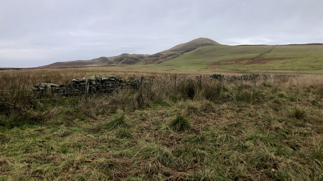
West Lomond
West Lomond At 522m West Lomond is the highest point in Fife. It is thus a very popular hill no doubt contributed to by the ease of ...

Falkland and East Lomond Hill
A walk through the Lomond Hills Regional Park to Falkland.

East Lomond circuit (revised includes views into Maspie den) 13/2/23
This is an excellent walk starting from Falkland there are several routes you can take up East Lomond but this one is reputed to be ...

Bitesize Ben - It's a Fife snow day!
When the snow was still falling yesterday I called my boss and asked for the next day off. Couldn't bear the thought of missing out ...
Nearby Amenities
Located within 500m of 56.224592,-3.2537347Have you been to Drumain Reservoir?
Leave your review of Drumain Reservoir below (or comments, questions and feedback).