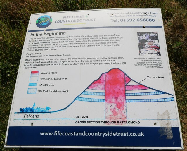
Ballo Reservoir
Lake, Pool, Pond, Freshwater Marsh in Fife
Scotland
Ballo Reservoir
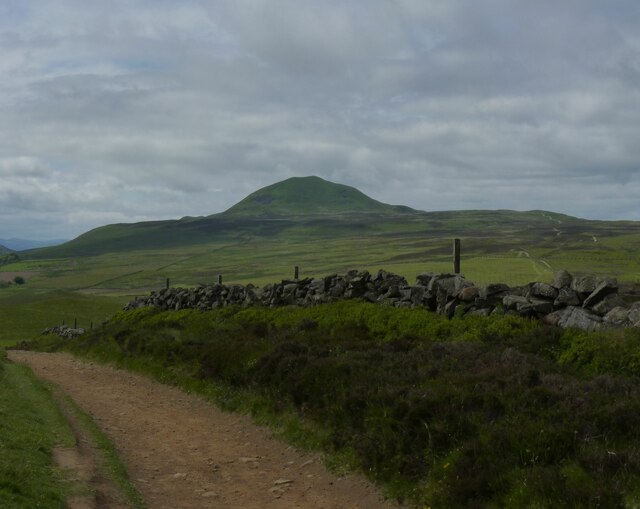
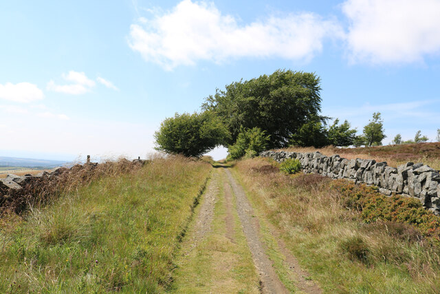
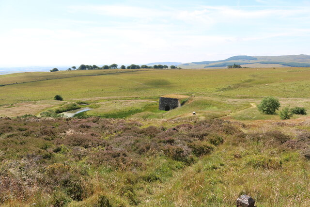
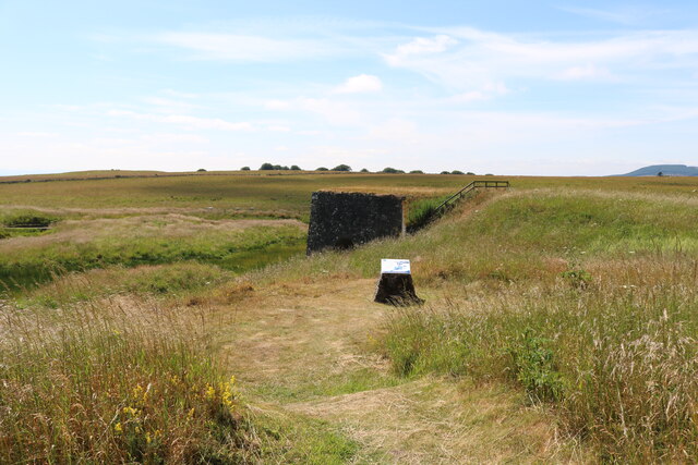
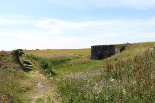
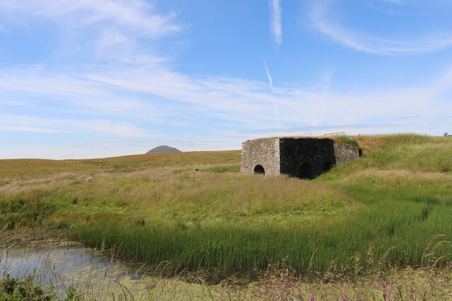
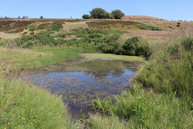
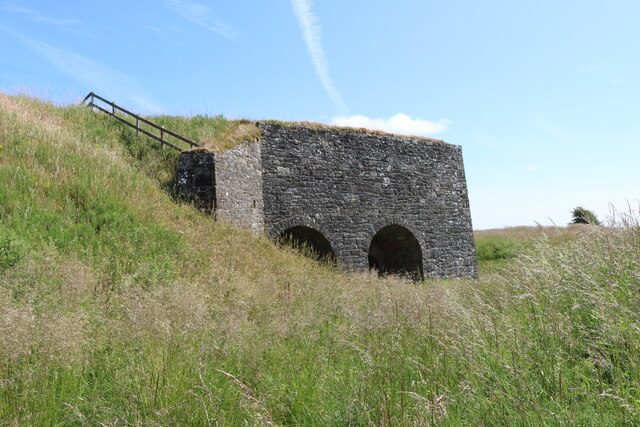
Ballo Reservoir is a picturesque freshwater lake located in the county of Fife, Scotland. Nestled amidst the rolling hills and lush greenery, this reservoir serves a dual purpose of providing a reliable water supply to the surrounding area while also serving as a recreational spot for locals and visitors alike.
Covering an area of approximately 30 hectares, Ballo Reservoir is an important water source for the nearby towns of Glenrothes and Leven. It was created in the 1960s by damming the Ballo Burn, a small stream that flows through the area. The reservoir holds an impressive capacity of around 2.7 million cubic meters of water, ensuring a steady supply to meet the demands of the local population.
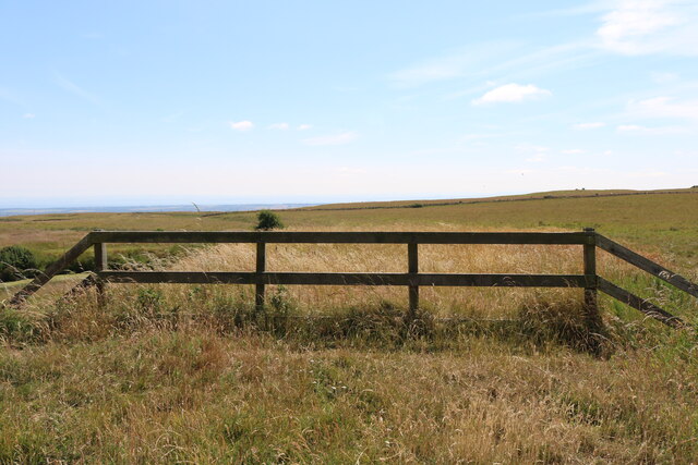
Aside from its functional significance, Ballo Reservoir also offers a tranquil retreat for nature enthusiasts. The surrounding landscape is dotted with trees, providing a picturesque backdrop for leisurely walks and picnics. The calm waters of the reservoir attract a variety of bird species, making it a popular spot for birdwatching. The area is also known for its diverse flora and fauna, with wildflowers and small animals adding to the natural beauty of the reservoir.
Fishing is a popular activity at Ballo Reservoir, with anglers drawn to its well-stocked waters. Common fish species found here include brown trout, rainbow trout, and perch, providing ample opportunities for a successful catch. Additionally, the reservoir allows for non-motorized water sports such as kayaking and canoeing, providing a fun-filled day out for water enthusiasts.
Overall, Ballo Reservoir offers a harmonious blend of functionality and natural beauty, making it a valuable resource for the local community while also providing a peaceful retreat for those seeking solace in nature.
If you have any feedback on the listing, please let us know in the comments section below.
Ballo Reservoir Images
Images are sourced within 2km of 56.230865/-3.251778 or Grid Reference NO2204. Thanks to Geograph Open Source API. All images are credited.
Ballo Reservoir is located at Grid Ref: NO2204 (Lat: 56.230865, Lng: -3.251778)
Unitary Authority: Fife
Police Authority: Fife
What 3 Words
///trailer.workroom.battling. Near Falkland, Fife
Nearby Locations
Related Wikis

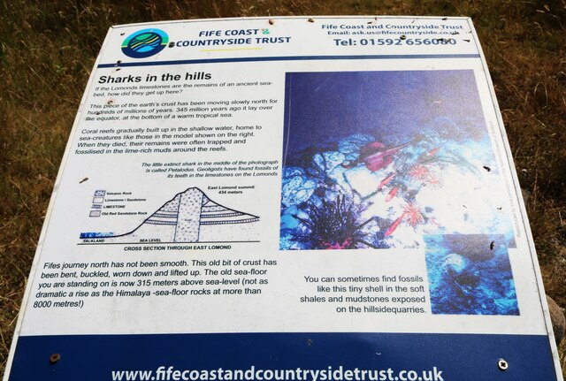
Lomond Hills
The Lomond Hills (meaning either beacon hills or bare hills), also known outside the locality as the Paps of Fife, are a range of hills in central Scotland...

West Lomond
West Lomond is the highest point in the county of Fife, Scotland and the highest peak in the Lomond Hills. Its cone-shaped summit, which is the remains...

Brunton House, Falkland
Brunton House is a Category A listed building in the village of Falkland in Fife, Scotland. It was formerly the residence of the hereditary falconers to...

Falkland Town Hall
Falkland Town Hall is a municipal building in the High Street, Falkland, Fife, Scotland. The structure, which has been converted for use as offices and...
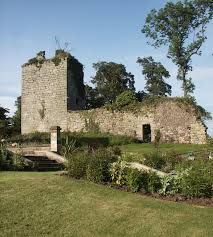
Arnot Tower
Arnot Tower is a ruined 16th-century castle located in the grounds of Arnot Tower House, less than 1 mile (1.6 km) from Scotlandwell, Perth and Kinross...
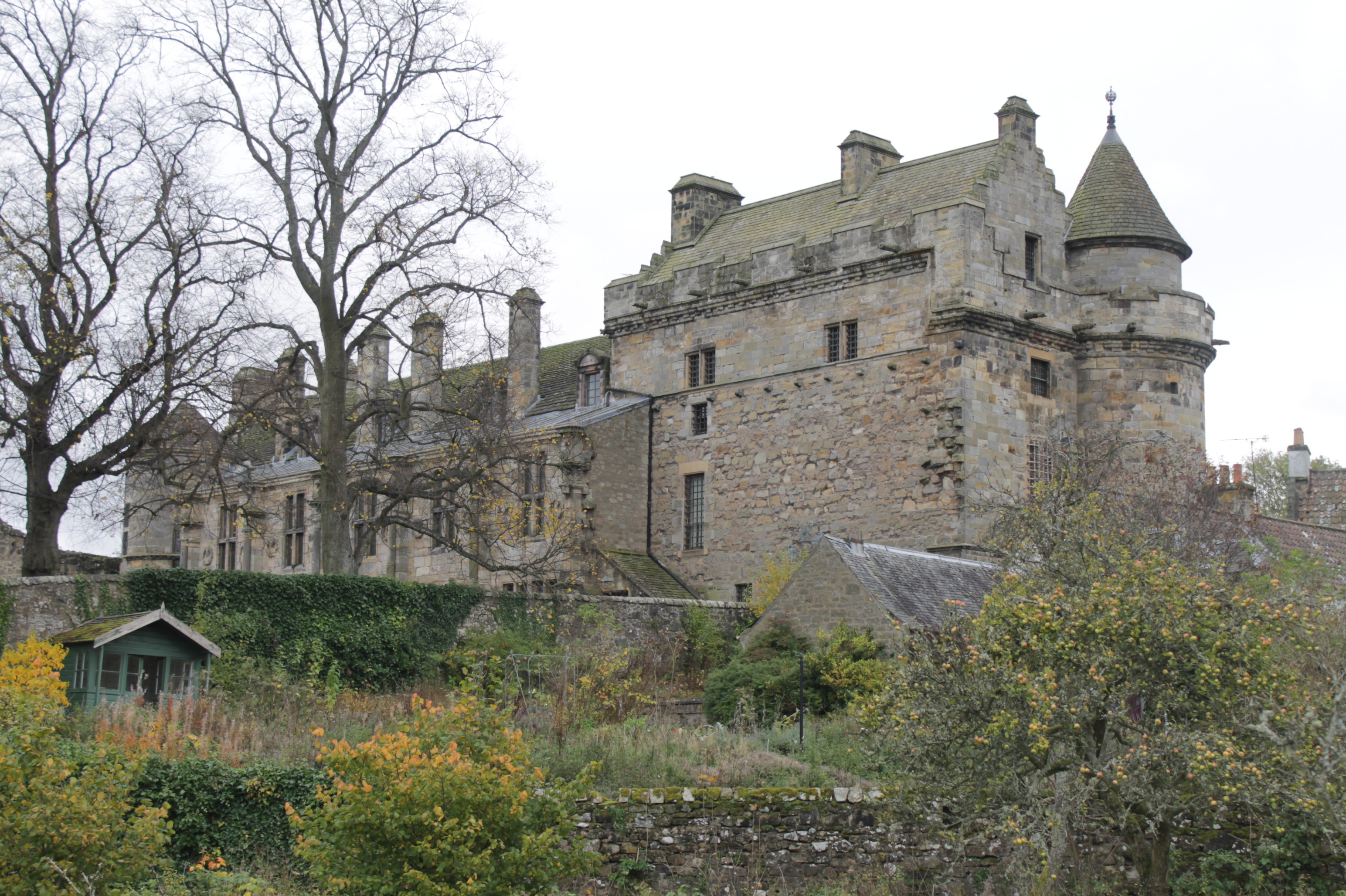
Falkland Palace
Falkland Palace, in Falkland, Fife, Scotland, is a royal palace of the Scottish Kings. It was one of the favourite places of Mary, Queen of Scots, providing...
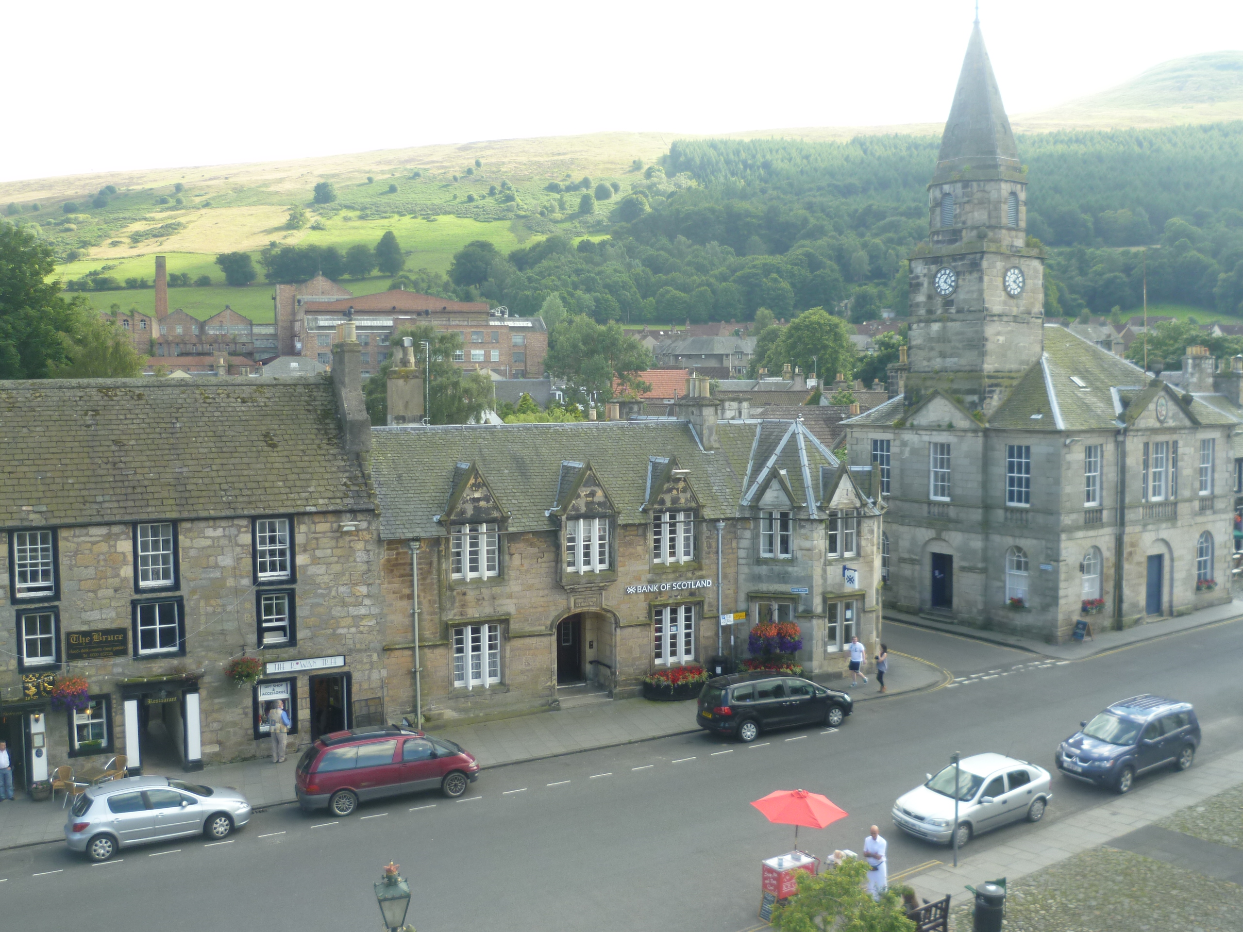
Falkland, Fife
Falkland (Scottish Gaelic: Fàclann), previously in the Lands of Kilgour (c. 1200), is a village, parish and former royal burgh in Fife, Scotland, at the...

Fife
Fife ( FYFE, Scottish English: [fɐi̯f]; Scottish Gaelic: Fìobha, IPA: [fiːvə]; Scots: Fife) is a council area, historic county, registration county and...
Related Videos
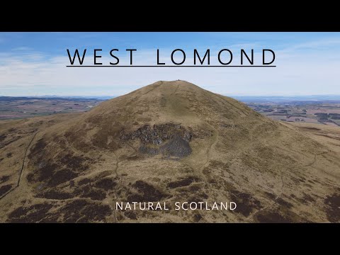
West Lomond
West Lomond At 522m West Lomond is the highest point in Fife. It is thus a very popular hill no doubt contributed to by the ease of ...
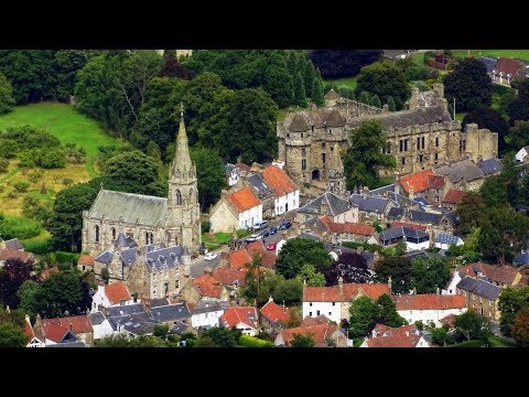
Falkland and East Lomond Hill
A walk through the Lomond Hills Regional Park to Falkland.
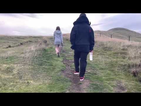

Walk through time in glen vale and Lomond hills in fife
Made with Film Maker https://play.google.com/store/apps/details?id=com.cerdillac.filmmaker.
Nearby Amenities
Located within 500m of 56.230865,-3.251778Have you been to Ballo Reservoir?
Leave your review of Ballo Reservoir below (or comments, questions and feedback).