Greyhound Loup
Lake, Pool, Pond, Freshwater Marsh in Dumfriesshire
Scotland
Greyhound Loup

Greyhound Loup is a picturesque freshwater marsh located in Dumfriesshire, Scotland. It spans over a vast area and is characterized by its serene and tranquil surroundings. The Loup is a prominent feature within the landscape of the area and serves as a haven for a wide variety of aquatic flora and fauna.
This freshwater marsh is home to a diverse range of species, including numerous waterfowl, such as ducks, geese, and swans. These birds can often be seen gracefully gliding across the calm waters of the Loup. Additionally, the marsh provides habitat for various amphibians, such as frogs and newts, adding to the rich biodiversity of the area.
The Loup is fed by several natural springs, ensuring a constant flow of fresh water throughout the year. This sustains the lush vegetation that surrounds the marsh, including reeds, rushes, and water lilies. The vibrant colors of these plants create a striking contrast against the calm, reflective surface of the water.
Visitors to Greyhound Loup can enjoy the peaceful atmosphere and observe the abundant wildlife that inhabits the area. The marsh offers an ideal setting for birdwatching, as well as opportunities for photography and nature walks. The Loup is also a popular spot for fishing enthusiasts, who can try their luck at catching various freshwater fish species that inhabit the marsh.
Overall, Greyhound Loup is a natural gem within Dumfriesshire, providing a sanctuary for both wildlife and nature lovers alike. Its stunning beauty and diverse ecosystem make it a must-visit destination for anyone seeking a tranquil and immersive experience in the heart of Scotland's countryside.
If you have any feedback on the listing, please let us know in the comments section below.
Greyhound Loup Images
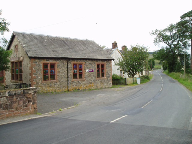
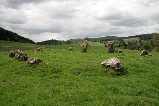
Images are sourced within 2km of 55.298093/-3.222504 or Grid Reference NT2201. Thanks to Geograph Open Source API. All images are credited.

Greyhound Loup is located at Grid Ref: NT2201 (Lat: 55.298093, Lng: -3.222504)
Unitary Authority: Dumfries and Galloway
Police Authority: Dumfries and Galloway
What 3 Words
///tagging.worked.greet. Near Bentpath, Dumfries & Galloway
Nearby Locations
Related Wikis
Eskdalemuir Forest
Eskdalemuir Forest is a forest north of Eskdalemuir, Dumfries and Galloway, in southern Scotland. It was created as a private enterprise by the Economic...
Eskdalemuir Observatory
The Eskdalemuir Observatory is a UK national environmental observatory located near Eskdalemuir, Dumfries and Galloway, Scotland. Along with Lerwick and...
Kagyu Samye Ling Monastery and Tibetan Centre
Kagyu Samye Ling Monastery and Tibetan Centre is a Tibetan Buddhist complex associated with the Karma Kagyu school located at Eskdalemuir, Scotland....
Holm, Inverness
Holm is a small residential area in the south of the city of Inverness, Scotland. The area lies east of the River Ness. The most prominent structure in...
Eskdalemuir
Eskdalemuir is a civil parish and small village in Dumfries and Galloway, Scotland, with a population of 265. It is around 10 miles (16 km) north-west...
Loupin Stanes
The Loupin Stanes (grid reference NY25709663) is a stone circle near Eskdalemuir, Dumfries and Galloway. Oval in shape, it consists of twelve stones set...
Girdle Stanes
The Girdle Stanes (grid reference NY 25351 96153) is a stone circle near Eskdalemuir, Dumfries and Galloway. The western portion of the circle has been...
Ettrick Pen
Ettrick Pen is a hill in the Ettrick Hills range, part of the Southern Uplands of Scotland. A remote peak, It lies southwest of the village of Ettrick...
Nearby Amenities
Located within 500m of 55.298093,-3.222504Have you been to Greyhound Loup?
Leave your review of Greyhound Loup below (or comments, questions and feedback).


