South East Point
Coastal Feature, Headland, Point in Lancashire Barrow-in-Furness
England
South East Point
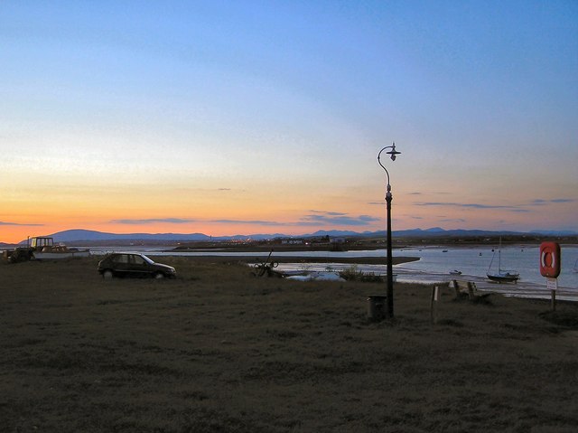
South East Point is a prominent coastal feature located in Lancashire, England. It is a headland that juts out into the Irish Sea, forming a point that offers stunning views of the surrounding area. This geographical feature is situated in close proximity to the town of Blackpool, which is known for its vibrant tourist attractions.
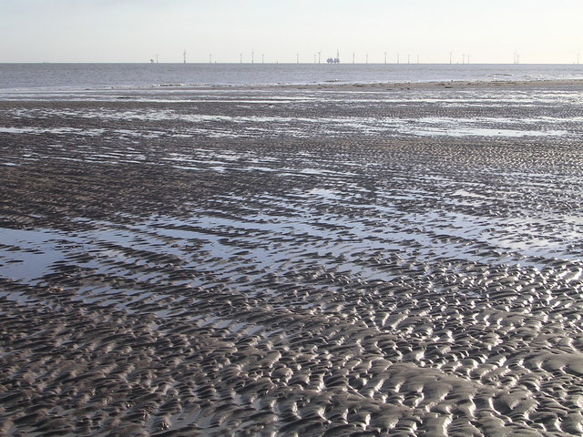
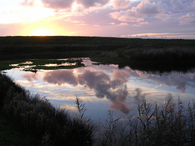
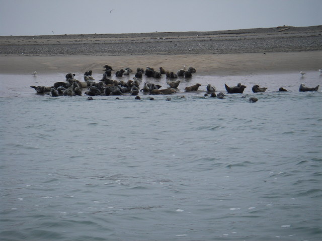
South East Point is characterized by its rugged cliffs, which showcase layers of sedimentary rocks that have been shaped by years of erosion by the sea. These cliffs provide a natural barrier against the powerful waves, creating a sense of seclusion and tranquility for visitors. The area is also home to a diverse range of flora and fauna, with various species of birds nesting along the cliffs and seals often spotted basking on the rocks.
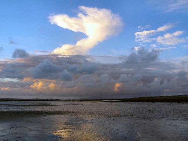
The point serves as an ideal vantage point for birdwatchers and nature enthusiasts, who can observe a variety of seabirds such as gulls, cormorants, and puffins. The panoramic views from South East Point are truly breathtaking, offering visitors an unobstructed vista of the vast expanse of the Irish Sea, with occasional sightings of passing ships and fishing boats.
Due to its picturesque setting, South East Point has become a popular destination for tourists and locals alike. It provides ample opportunities for recreational activities such as hiking, photography, and picnicking. The nearby coastal path offers a scenic route for visitors to explore the surrounding area, with access to other notable landmarks such as North Pier and Blackpool Tower.
Overall, South East Point is a captivating coastal feature that showcases Lancashire's natural beauty. Its unique geological formations, diverse wildlife, and stunning views make it a must-visit location for those seeking a tranquil escape by the sea.
If you have any feedback on the listing, please let us know in the comments section below.
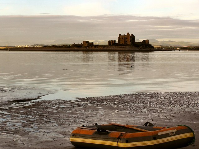
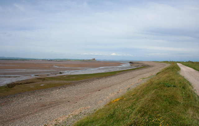
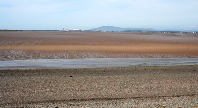
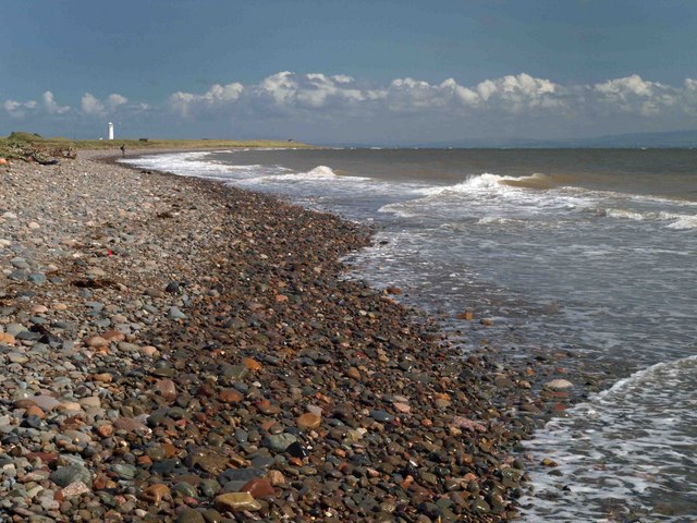
South East Point Images
Images are sourced within 2km of 54.048056/-3.1728782 or Grid Reference SD2361. Thanks to Geograph Open Source API. All images are credited.


South East Point is located at Grid Ref: SD2361 (Lat: 54.048056, Lng: -3.1728782)
Administrative County: Cumbria
District: Barrow-in-Furness
Police Authority: Cumbria
What 3 Words
///jacket.nags.shorten. Near Barrow in Furness, Cumbria
Nearby Locations
Related Wikis

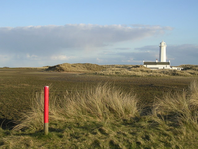
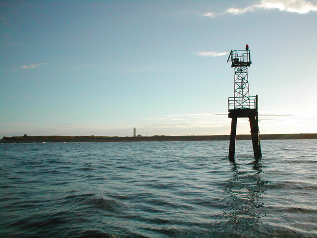
Walney Lighthouse
Walney Lighthouse is a functioning lighthouse located on Walney Island in Barrow-in-Furness, Cumbria, England. The current building dates to the early...

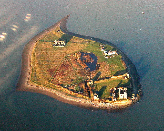
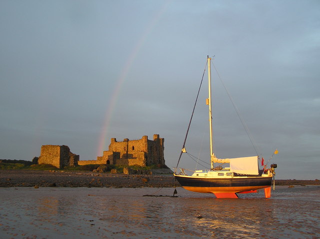
Piel Castle
Piel Castle, also known as Fouldry Castle or the Pile of Fouldray, is a castle situated on the south-eastern point of Piel Island, off the coast of the...
South Walney
South Walney is one of two nature reserves on Walney Island, England. The nature reserve has an area of 130 ha leased from Holker estates. It has been...

Piel Island
Piel Island lies in Morecambe Bay , around 1⁄2 mile (800 metres) off the southern tip of the Furness peninsula in the administrative county of Cumbria...

Foulney Island
Foulney Island is a low-lying grass and shingle area 1 mile (1.6 km) to the south-east of Roa Island, off the southern tip of the Furness Peninsula in...
Sheep Island (England)
Sheep Island is an uninhabited grassy island of around 15 acres (6 ha), located just over 1⁄4 mile (400 m) from the shore of Walney Island, opposite Snab...
Roa Island
Roa Island lies just over half a mile (1 km) south of the village of Rampside at the southernmost point of the Furness Peninsula in Westmorland and Furness...

Piel railway station
Piel railway station was the terminus of the Furness Railway's Piel Branch in Barrow-in-Furness, England that operated between 1846 and 1936. Located on...
Nearby Amenities
Located within 500m of 54.048056,-3.1728782Have you been to South East Point?
Leave your review of South East Point below (or comments, questions and feedback).