Haws Point
Coastal Feature, Headland, Point in Lancashire Barrow-in-Furness
England
Haws Point
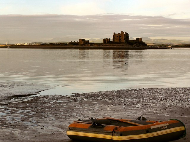
Haws Point is a prominent coastal feature located in Lancashire, England. It is a headland that juts out into the Irish Sea, forming a distinctive point along the coastline. Situated near the town of Blackpool, Haws Point is a popular destination for locals and tourists alike, offering stunning views and a variety of recreational activities.
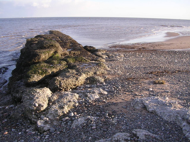
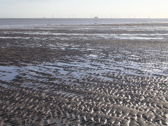
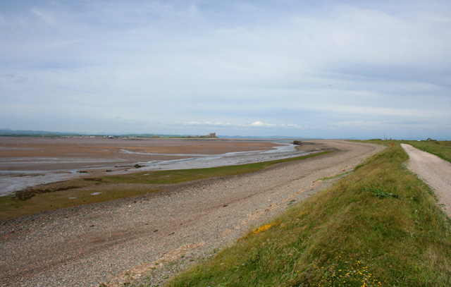
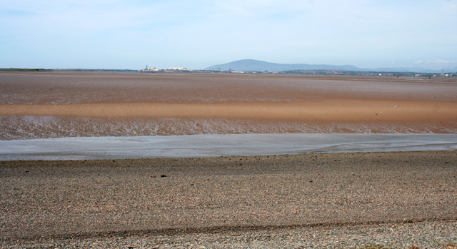
The headland is characterized by its rugged cliffs, which rise dramatically from the shore. These cliffs are composed of sedimentary rock formations, showcasing layers of sandstone and shale that have been shaped by erosion over millions of years. The exposed rock faces provide a glimpse into the geological history of the area and are a notable feature of Haws Point.
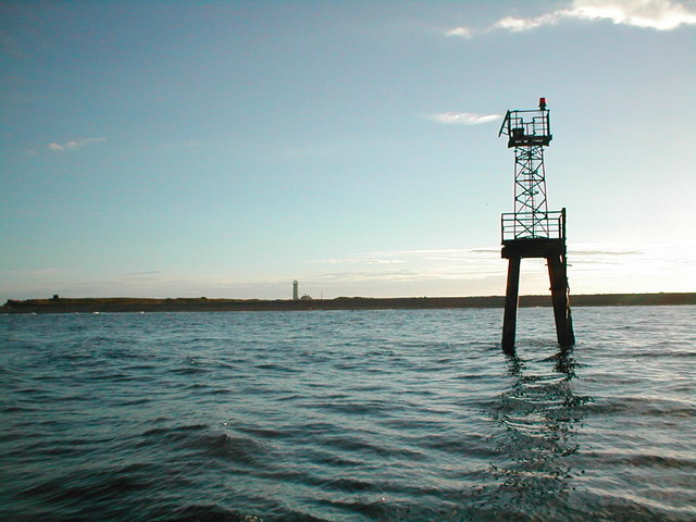
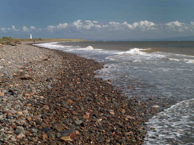
At the tip of the headland, there is a small lighthouse that serves as a navigational aid for ships entering the nearby port. The lighthouse is an iconic symbol of Haws Point and adds to the charm of the coastal landscape.
Visitors to Haws Point can enjoy a range of outdoor activities, including hiking along the cliff-top paths, birdwatching, and exploring the rock pools that dot the shoreline. The headland also offers excellent opportunities for photographers, with its panoramic vistas and dramatic seascapes.
Haws Point is easily accessible by road and has parking facilities nearby. It is a popular spot for picnics, especially during the summer months when the weather is favorable. The coastal location also attracts fishing enthusiasts, who can cast their lines from the rocks in search of a variety of fish species.
Overall, Haws Point in Lancashire is a captivating headland that offers natural beauty, recreational opportunities, and a glimpse into the region's geological heritage.
If you have any feedback on the listing, please let us know in the comments section below.
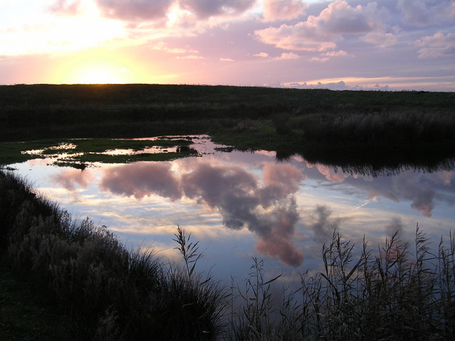
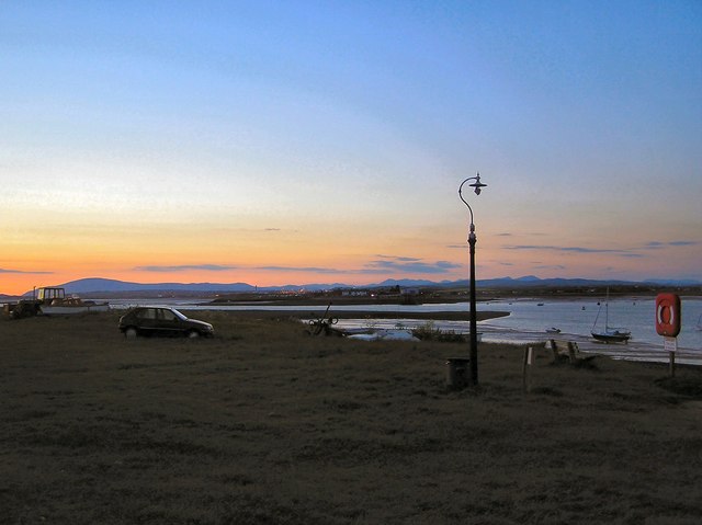
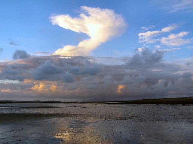
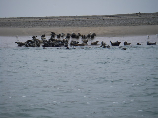
Haws Point Images
Images are sourced within 2km of 54.049268/-3.1720875 or Grid Reference SD2362. Thanks to Geograph Open Source API. All images are credited.


Haws Point is located at Grid Ref: SD2362 (Lat: 54.049268, Lng: -3.1720875)
Administrative County: Cumbria
District: Barrow-in-Furness
Police Authority: Cumbria
What 3 Words
///snored.microchip.stores. Near Barrow in Furness, Cumbria
Nearby Locations
Related Wikis

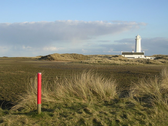
Walney Lighthouse
Walney Lighthouse is a functioning lighthouse located on Walney Island in Barrow-in-Furness, Cumbria, England. The current building dates to the early...

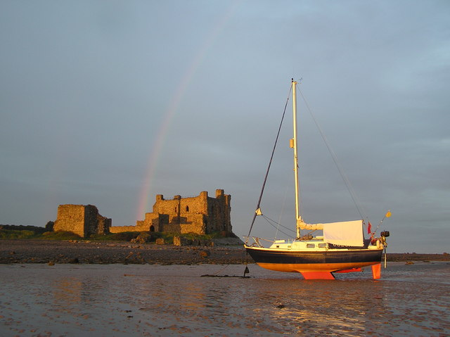
Piel Castle
Piel Castle, also known as Fouldry Castle or the Pile of Fouldray, is a castle situated on the south-eastern point of Piel Island, off the coast of the...

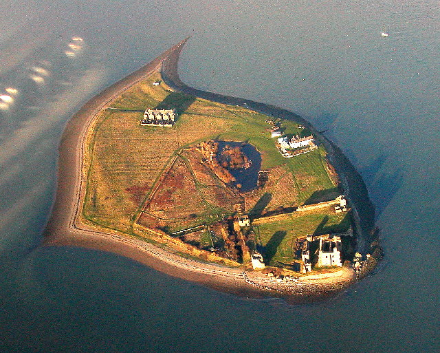
Piel Island
Piel Island lies in Morecambe Bay , around 1⁄2 mile (800 metres) off the southern tip of the Furness peninsula in the administrative county of Cumbria...
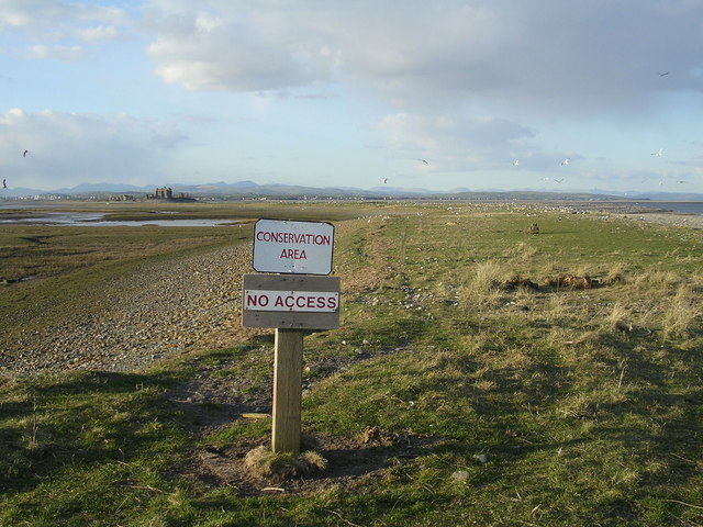
South Walney
South Walney is one of two nature reserves on Walney Island, England. The nature reserve has an area of 130 ha leased from Holker estates. It has been...

Foulney Island
Foulney Island is a low-lying grass and shingle area 1 mile (1.6 km) to the south-east of Roa Island, off the southern tip of the Furness Peninsula in...
Sheep Island (England)
Sheep Island is an uninhabited grassy island of around 15 acres (6 ha), located just over 1⁄4 mile (400 m) from the shore of Walney Island, opposite Snab...
Roa Island
Roa Island lies just over half a mile (1 km) south of the village of Rampside at the southernmost point of the Furness Peninsula in Westmorland and Furness...

Piel railway station
Piel railway station was the terminus of the Furness Railway's Piel Branch in Barrow-in-Furness, England that operated between 1846 and 1936. Located on...
Nearby Amenities
Located within 500m of 54.049268,-3.1720875Have you been to Haws Point?
Leave your review of Haws Point below (or comments, questions and feedback).