Haws Hole
Coastal Marsh, Saltings in Lancashire Barrow-in-Furness
England
Haws Hole
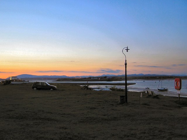
Haws Hole is a small village located in Lancashire, England. Situated on the coast, it is known for its picturesque coastal marsh and saltings. The village is nestled between rolling hills and the vast expanse of the Irish Sea, offering a unique blend of natural beauty and serene tranquility.
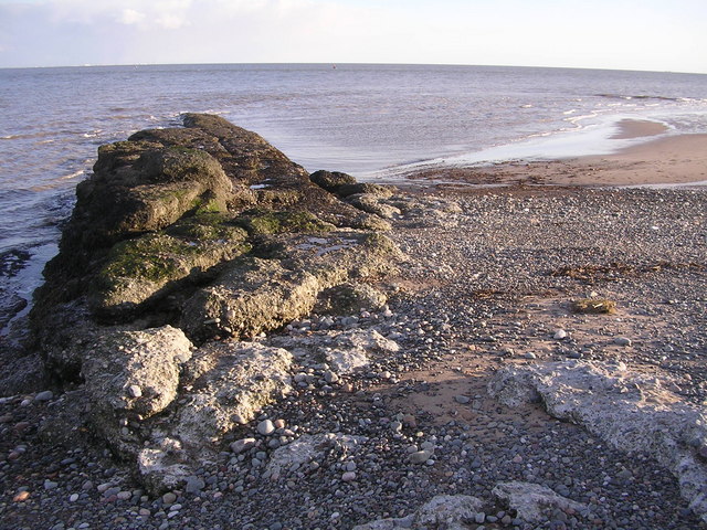
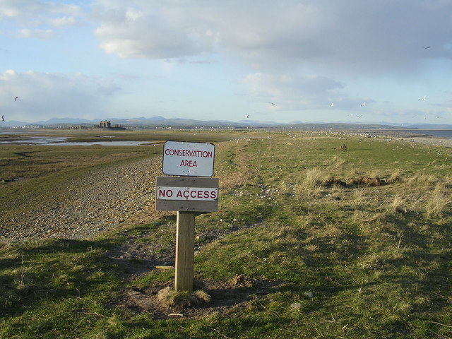
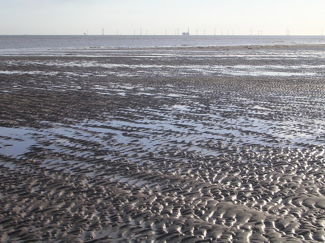
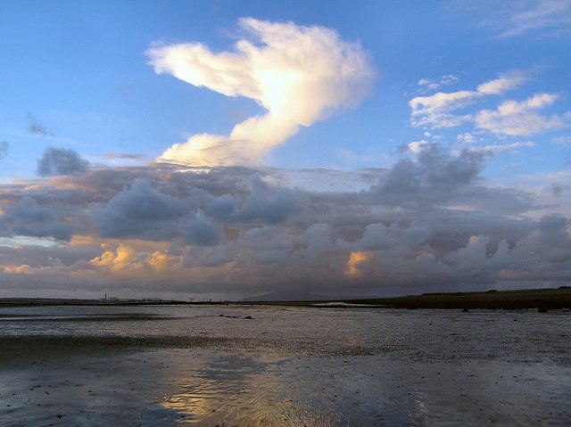
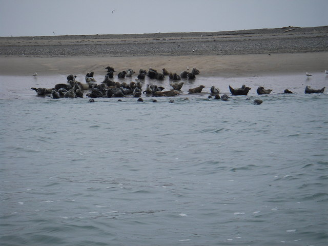
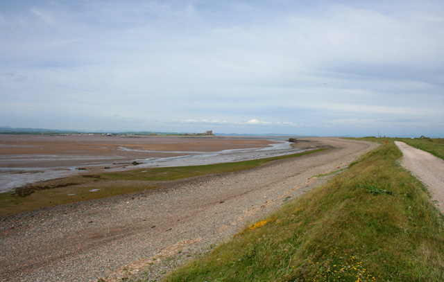
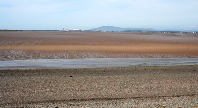
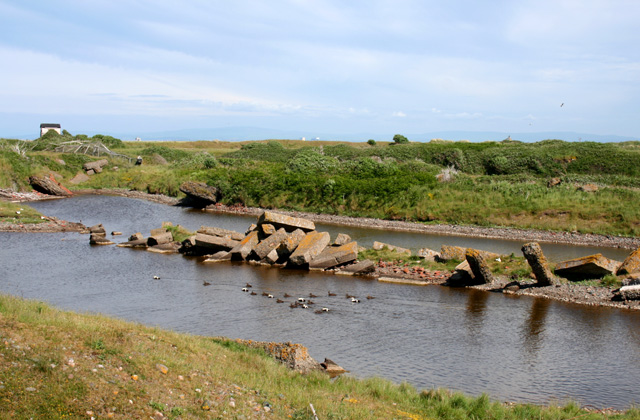
The coastal marshes in Haws Hole are a prominent feature of the landscape. These marshes are characterized by the rich diversity of flora and fauna that thrive in the brackish waters. They serve as important habitats for various bird species, including waders and waterfowl. Birdwatchers flock to Haws Hole to catch a glimpse of these magnificent creatures in their natural habitat.
The saltings, or salt marshes, are another fascinating aspect of Haws Hole. These marshes are formed by the tidal flow of seawater, which brings in sediment and deposits salt-rich minerals. The result is a unique ecosystem that supports a variety of salt-tolerant plants and animals. Haws Hole's saltings are particularly renowned for their extensive salt pans, where salt is traditionally harvested.
Beyond its natural attractions, Haws Hole offers a charming village atmosphere with a close-knit community. Traditional cottages with thatched roofs line the narrow streets, creating a quaint and idyllic setting. The village is home to a few shops, cafes, and pubs, where visitors can indulge in local delicacies and immerse themselves in the warm hospitality of the locals.
Haws Hole, Lancashire, with its coastal marshes, saltings, and charming village ambiance, is a hidden gem that showcases the beauty of England's coastline. It is a destination that offers a perfect escape for nature lovers and those seeking a peaceful retreat from the hustle and bustle of city life.
If you have any feedback on the listing, please let us know in the comments section below.
Haws Hole Images
Images are sourced within 2km of 54.051491/-3.169981 or Grid Reference SD2362. Thanks to Geograph Open Source API. All images are credited.


Haws Hole is located at Grid Ref: SD2362 (Lat: 54.051491, Lng: -3.169981)
Administrative County: Cumbria
District: Barrow-in-Furness
Police Authority: Cumbria
What 3 Words
///formless.prowling.ringside. Near Barrow in Furness, Cumbria
Nearby Locations
Related Wikis

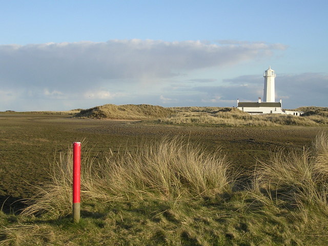
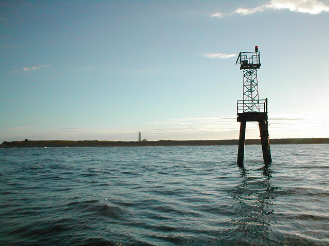
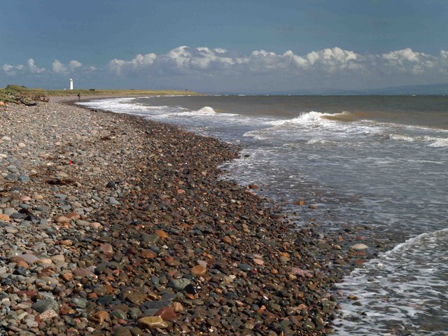
Walney Lighthouse
Walney Lighthouse is a functioning lighthouse located on Walney Island in Barrow-in-Furness, Cumbria, England. The current building dates to the early...

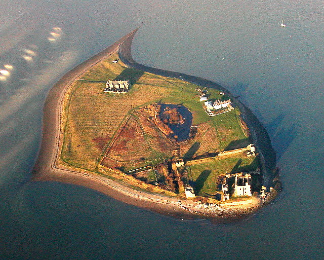
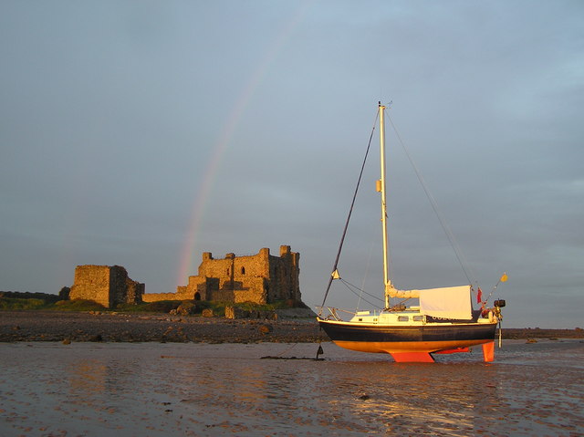
Piel Castle
Piel Castle, also known as Fouldry Castle or the Pile of Fouldray, is a castle situated on the south-eastern point of Piel Island, off the coast of the...

Piel Island
Piel Island lies in Morecambe Bay , around 1⁄2 mile (800 metres) off the southern tip of the Furness peninsula in the administrative county of Cumbria...
South Walney
South Walney is one of two nature reserves on Walney Island, England. The nature reserve has an area of 130 ha leased from Holker estates. It has been...

Foulney Island
Foulney Island is a low-lying grass and shingle area 1 mile (1.6 km) to the south-east of Roa Island, off the southern tip of the Furness Peninsula in...
Roa Island
Roa Island lies just over half a mile (1 km) south of the village of Rampside at the southernmost point of the Furness Peninsula in Westmorland and Furness...
Sheep Island (England)
Sheep Island is an uninhabited grassy island of around 15 acres (6 ha), located just over 1⁄4 mile (400 m) from the shore of Walney Island, opposite Snab...

Piel railway station
Piel railway station was the terminus of the Furness Railway's Piel Branch in Barrow-in-Furness, England that operated between 1846 and 1936. Located on...
Nearby Amenities
Located within 500m of 54.051491,-3.169981Have you been to Haws Hole?
Leave your review of Haws Hole below (or comments, questions and feedback).