Eighteen Acre Copse
Wood, Forest in Somerset Sedgemoor
England
Eighteen Acre Copse
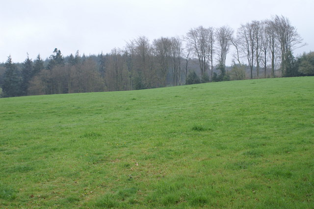
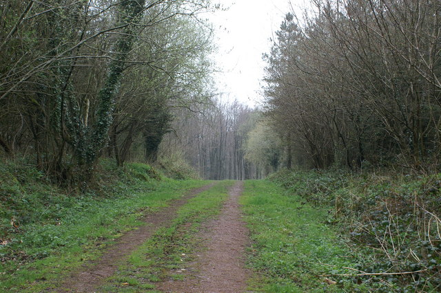
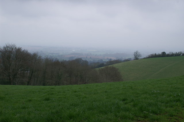
Eighteen Acre Copse is a picturesque woodland located in Somerset, England. Covering an area of approximately 18 acres, this copse is a haven for nature lovers and those seeking tranquility amidst the bustling city life. The copse is situated near the charming village of Somerset, surrounded by rolling hills and breathtaking scenery.
The woodland is predominantly composed of a mixture of deciduous and coniferous trees. Towering oak and beech trees provide a dense canopy that filters the sunlight, creating a peaceful and shaded environment below. The forest floor is covered in a thick layer of moss and ferns, offering a soft carpet for visitors to explore.
Eighteen Acre Copse is home to a diverse range of wildlife. Small mammals such as rabbits, squirrels, and badgers can often be spotted scurrying among the undergrowth, while birds such as woodpeckers, owls, and thrushes fill the air with their melodious songs. The copse also serves as a habitat for various species of butterflies, insects, and amphibians.
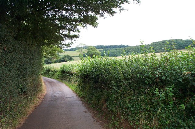
The copse offers numerous walking trails, allowing visitors to immerse themselves in the beauty of nature. These trails wind through the woodland, leading visitors to enchanting clearings and secluded spots. There are also designated picnic areas where visitors can relax and enjoy a meal surrounded by the tranquility of the copse.
Eighteen Acre Copse provides a perfect escape from the hustle and bustle of everyday life. Its natural beauty, diverse wildlife, and peaceful atmosphere make it a popular destination for both locals and tourists alike. Whether one seeks solitude, a family outing, or a chance to reconnect with nature, this Somerset woodland offers a truly magical experience.
If you have any feedback on the listing, please let us know in the comments section below.
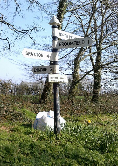
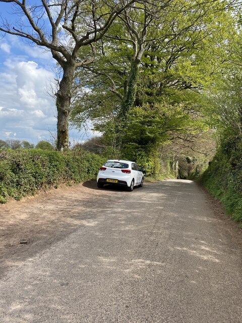
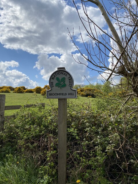
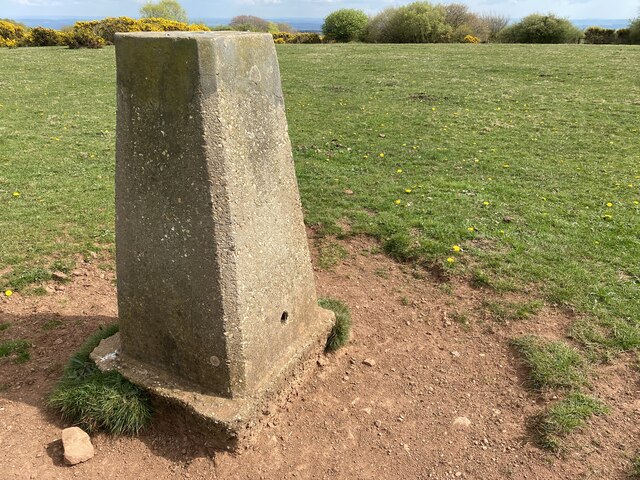
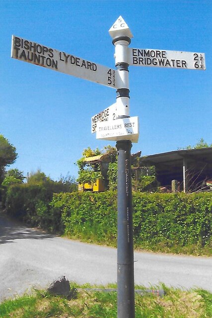
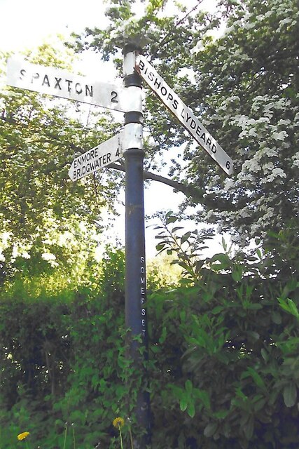
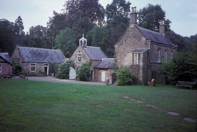
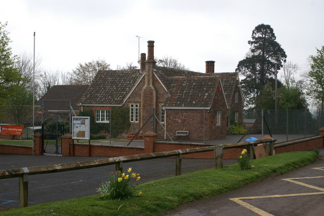
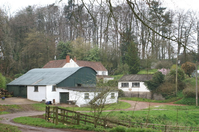
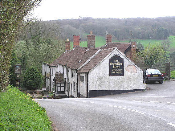
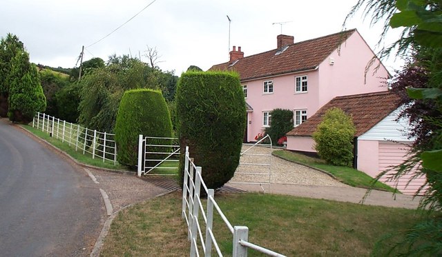
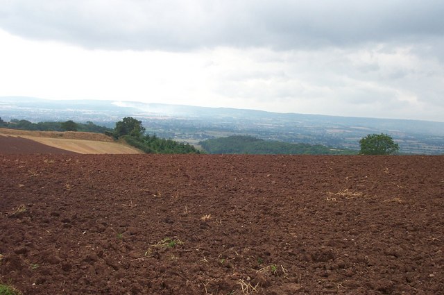
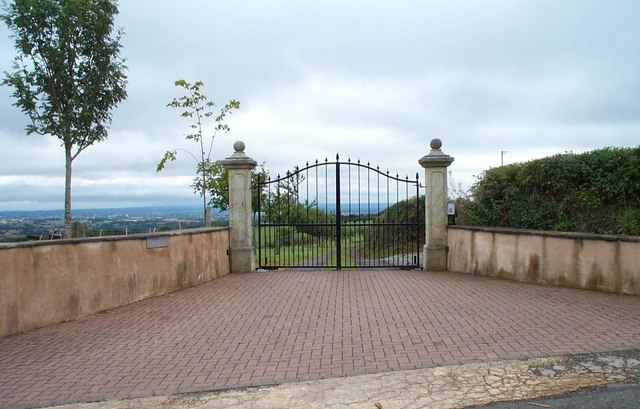
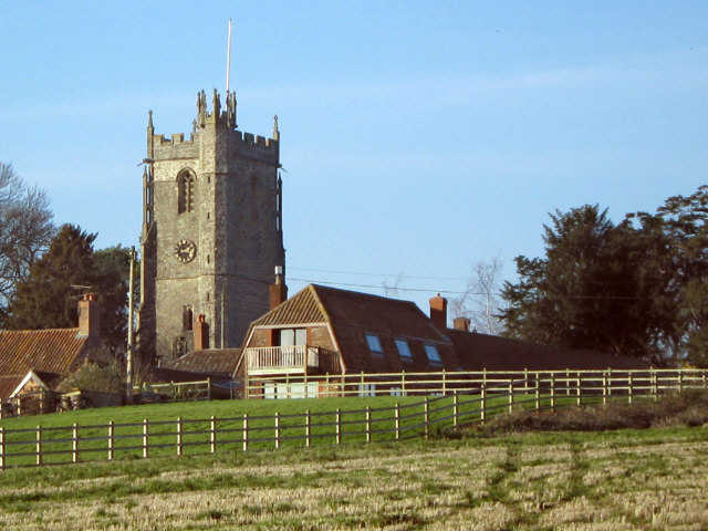
Eighteen Acre Copse Images
Images are sourced within 2km of 51.097661/-3.1139357 or Grid Reference ST2233. Thanks to Geograph Open Source API. All images are credited.

Eighteen Acre Copse is located at Grid Ref: ST2233 (Lat: 51.097661, Lng: -3.1139357)
Administrative County: Somerset
District: Sedgemoor
Police Authority: Avon and Somerset
What 3 Words
///spillage.gymnasium.sailor. Near Nether Stowey, Somerset
Related Wikis
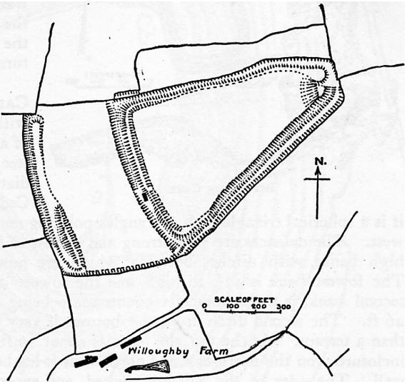
Ruborough Camp
Ruborough Camp is an Iron Age hill fort on the Quantock Hills near Broomfield in Somerset, England. The name comes from Rugan beorh or Ruwan-beorge meaning...

Broomfield Camp
Broomfield Camp (which is also known as Higher Castles enclosure) is a univallate Iron Age hill fort in the Taunton Deane district of Somerset, England...

Broomfield, Somerset
Broomfield is a village and civil parish in Somerset, England, situated about five miles north of Taunton. According to the 2011 census it had a population...

Enmore Castle
Enmore Castle is a historic building in the village of Enmore, Somerset, England. It is a Grade II listed building. == Construction == Enmore was the seat...
Church of St Michael, Enmore
The Anglican Church of St Michael in Enmore within the English county of Somerset dates mainly from the 15th century, however some of the fabric of the...
Enmore, Somerset
Enmore is a village and civil parish 2 miles (3 km) west of Bridgwater on the Quantock Hills in Somerset, England. The parish includes the hamlet of Bare...

Barford Park
Barford Park is a Georgian country house and park to the south of Spaxton, west of Bridgwater, Somerset, England. It was designated a grade II* listed...

Hawkridge Reservoir
Hawkridge Reservoir is a reservoir near Spaxton, Somerset, England. The inflow is from several streams in the Quantock Hills Area of Outstanding Natural...
Have you been to Eighteen Acre Copse?
Leave your review of Eighteen Acre Copse below (or comments, questions and feedback).