Moneyfield Copse
Wood, Forest in Somerset Sedgemoor
England
Moneyfield Copse
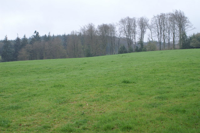
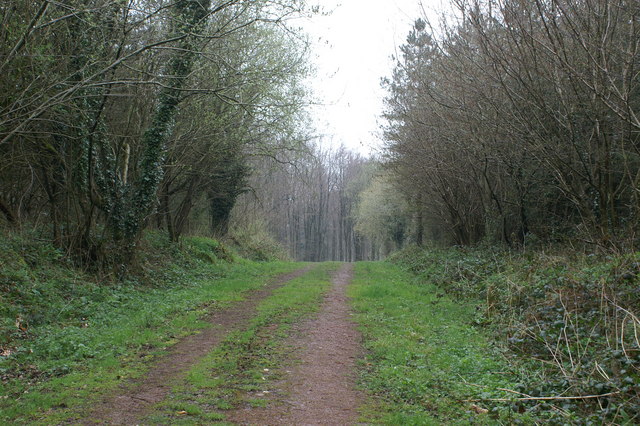
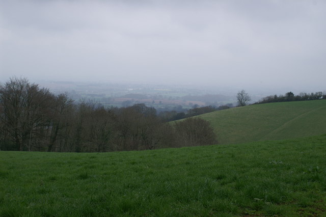
Moneyfield Copse is a picturesque wood located in Somerset, England. Situated in the heart of the county, this charming forest covers an area of approximately 20 acres. It is nestled amidst rolling hills and lush green meadows, creating a serene and tranquil atmosphere that attracts nature enthusiasts and visitors alike.
The copse is predominantly made up of native deciduous trees, including oak, beech, and ash, which provide a rich canopy and a diverse habitat for a variety of wildlife. The dense undergrowth is adorned with vibrant wildflowers, ferns, and mosses, adding to the beauty and biodiversity of the area.
Visitors can explore the copse through a network of well-maintained footpaths and trails, which wind their way through the wood, offering stunning views of the surrounding countryside. These paths are suitable for walkers of all abilities and are also popular among dog walkers and families looking for a peaceful outing.
Moneyfield Copse is not only a haven for nature lovers but also a significant historical site. It is believed that the copse has been used for timber extraction for centuries, and remnants of old saw pits and charcoal platforms can still be seen today. The woodland also holds cultural and archaeological importance, with evidence of past human habitation and ancient burial mounds.
Overall, Moneyfield Copse is a cherished natural treasure in Somerset, offering a delightful escape from the hustle and bustle of everyday life. With its enchanting woodland, diverse flora and fauna, and historical significance, it is a must-visit destination for anyone seeking to connect with nature and explore the rich heritage of the region.
If you have any feedback on the listing, please let us know in the comments section below.
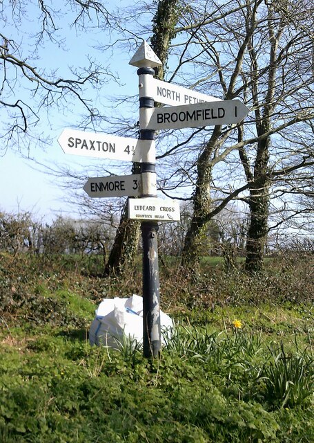
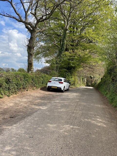
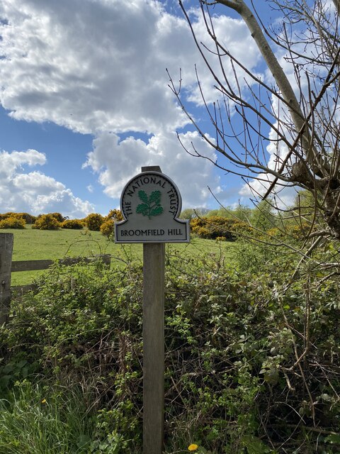
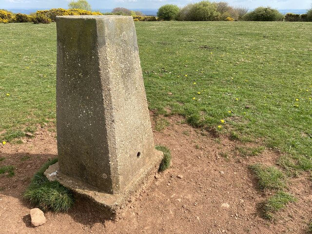
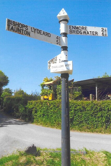
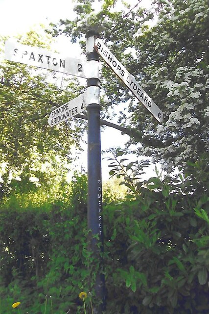
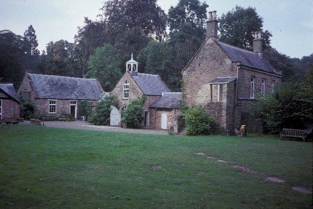
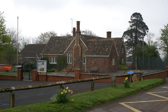
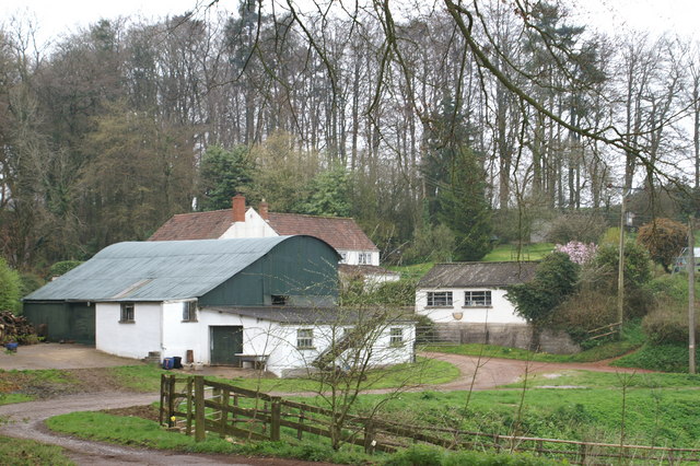
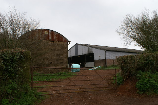
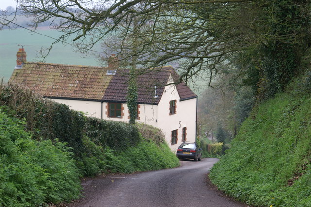
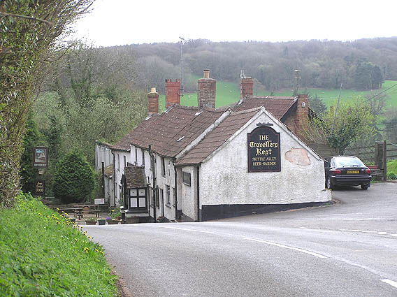
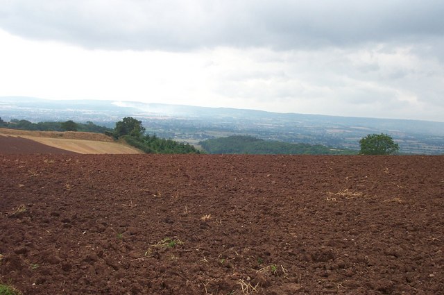
Moneyfield Copse Images
Images are sourced within 2km of 51.095084/-3.1040916 or Grid Reference ST2233. Thanks to Geograph Open Source API. All images are credited.


Moneyfield Copse is located at Grid Ref: ST2233 (Lat: 51.095084, Lng: -3.1040916)
Administrative County: Somerset
District: Sedgemoor
Police Authority: Avon and Somerset
What 3 Words
///anthems.lavished.berated. Near North Petherton, Somerset
Related Wikis
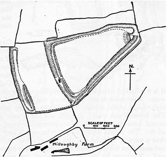
Ruborough Camp
Ruborough Camp is an Iron Age hill fort on the Quantock Hills near Broomfield in Somerset, England. The name comes from Rugan beorh or Ruwan-beorge meaning...

Broomfield, Somerset
Broomfield is a village and civil parish in Somerset, England, situated about five miles north of Taunton. According to the 2011 census it had a population...

Broomfield Camp
Broomfield Camp (which is also known as Higher Castles enclosure) is a univallate Iron Age hill fort in the Taunton Deane district of Somerset, England...

Enmore Castle
Enmore Castle is a historic building in the village of Enmore, Somerset, England. It is a Grade II listed building. == Construction == Enmore was the seat...
Enmore, Somerset
Enmore is a village and civil parish 2 miles (3 km) west of Bridgwater on the Quantock Hills in Somerset, England. The parish includes the hamlet of Bare...
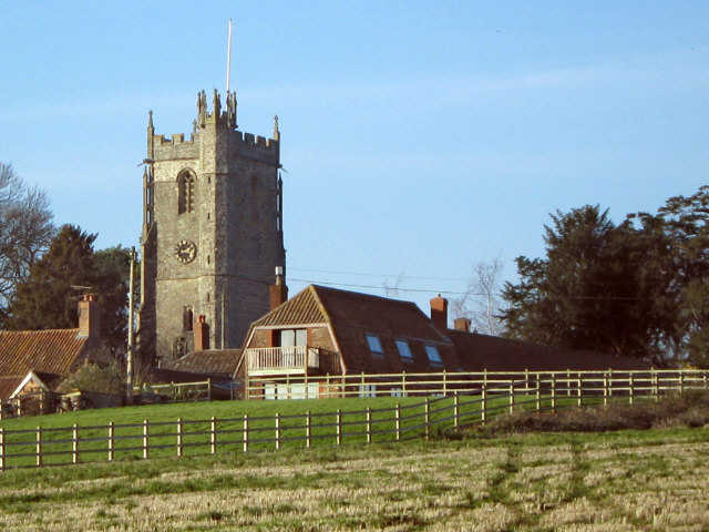
Church of St Michael, Enmore
The Anglican Church of St Michael in Enmore within the English county of Somerset dates mainly from the 15th century, however some of the fabric of the...

Barford Park
Barford Park is a Georgian country house and park to the south of Spaxton, west of Bridgwater, Somerset, England. It was designated a grade II* listed...

Temple of Harmony
The Temple of Harmony is an 18th-century folly in the grounds of Halswell House, Goathurst, Somerset, England. Built in 1767, it is a replica of the 1st...
Nearby Amenities
Located within 500m of 51.095084,-3.1040916Have you been to Moneyfield Copse?
Leave your review of Moneyfield Copse below (or comments, questions and feedback).