Paradise Plantation
Wood, Forest in Somerset Sedgemoor
England
Paradise Plantation
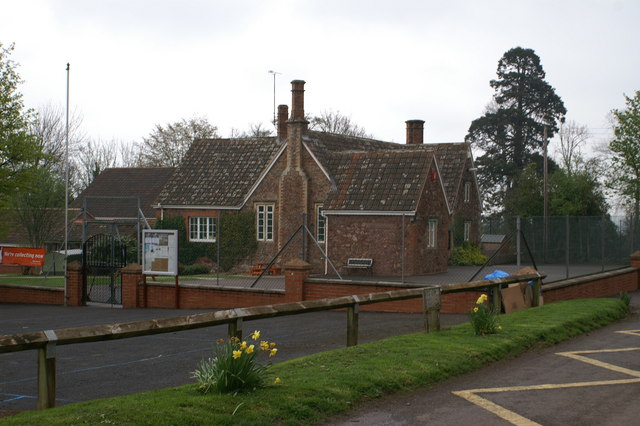
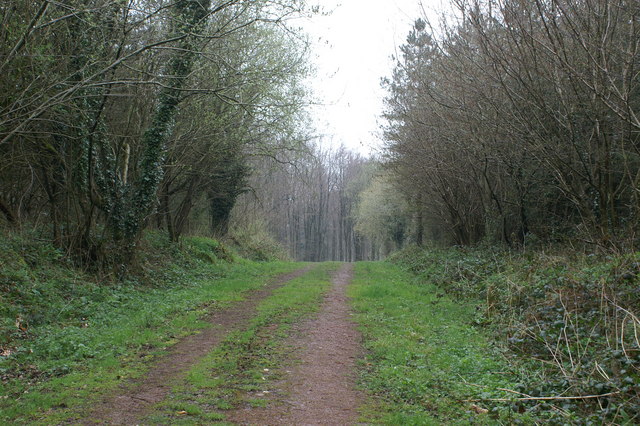
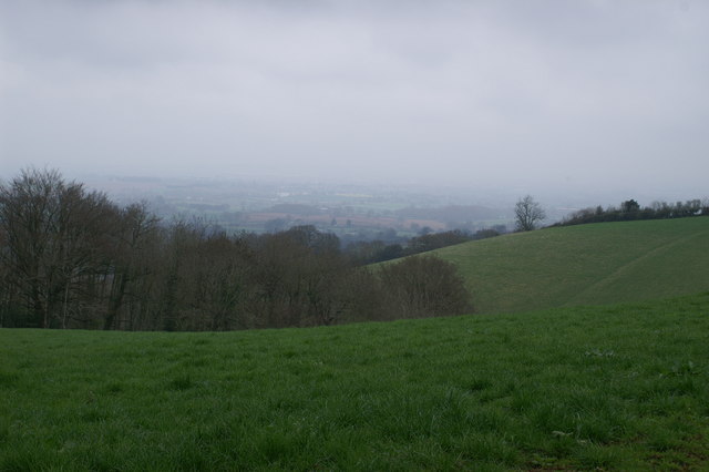
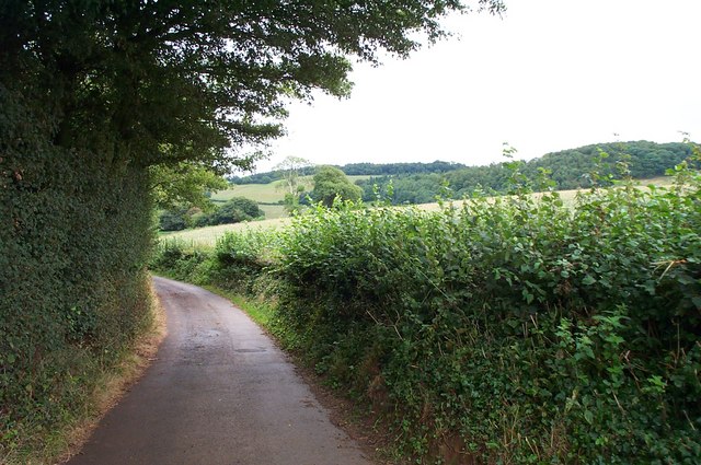
Paradise Plantation, Somerset, also known as Wood or Forest, is a magnificent estate located in the heart of Somerset County, England. Spanning over several thousand acres, this historic plantation is renowned for its lush greenery, picturesque landscapes, and rich cultural heritage.
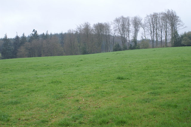
The plantation boasts a diverse range of flora and fauna, with a vast variety of trees including oak, beech, and cedar, creating a serene and tranquil ambiance. The estate is also home to numerous indigenous animal species, making it a haven for nature enthusiasts and wildlife lovers alike.
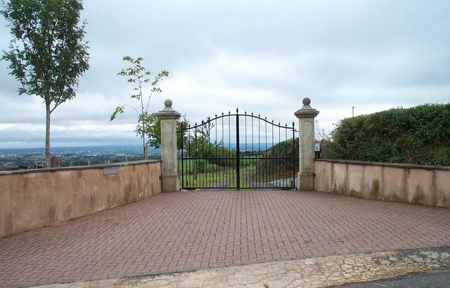
Paradise Plantation is steeped in history, with its origins dating back to the 17th century. The estate's magnificent manor house, constructed in traditional Tudor architectural style, stands as a testament to its grandeur and elegance. The sprawling gardens surrounding the manor offer breathtaking views and are meticulously maintained, showcasing the meticulous attention to detail and horticultural expertise of its caretakers.
Visitors to Paradise Plantation can enjoy a range of activities, from leisurely walks through its enchanting woodland trails to birdwatching in its designated nature reserves. The plantation also offers guided tours, allowing visitors to delve into its rich history and learn about its cultural significance.
Additionally, Paradise Plantation is a popular venue for special events such as weddings and corporate functions. Its stunning backdrop and idyllic scenery make it a sought-after location for those looking to celebrate their special occasions in a truly magical setting.
In summary, Paradise Plantation, Somerset, is a truly enchanting estate that offers visitors an opportunity to immerse themselves in the beauty of nature and experience the timeless charm of a bygone era.
If you have any feedback on the listing, please let us know in the comments section below.
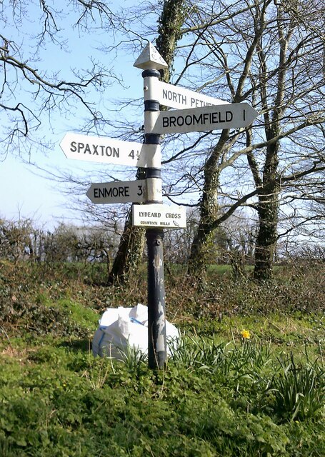
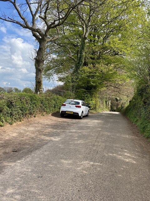
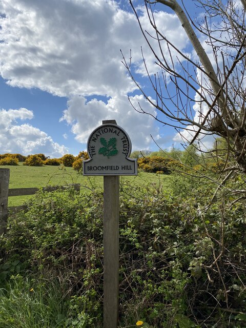
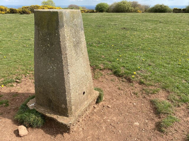
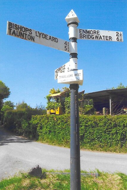
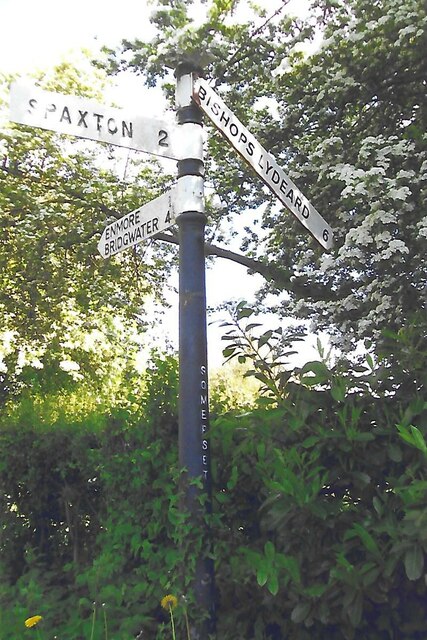
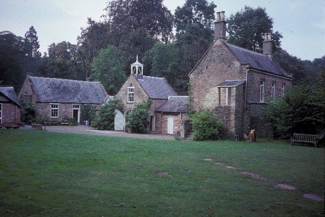
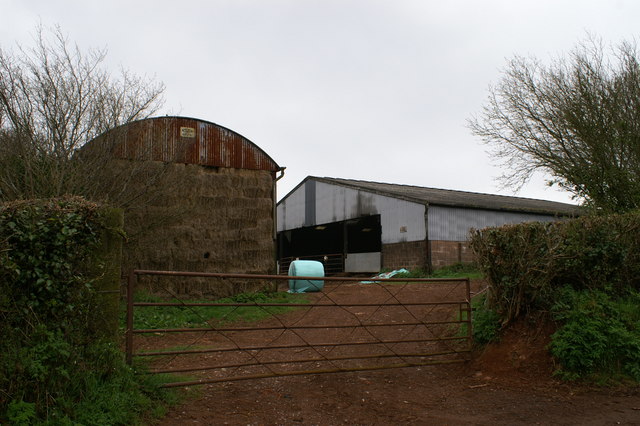
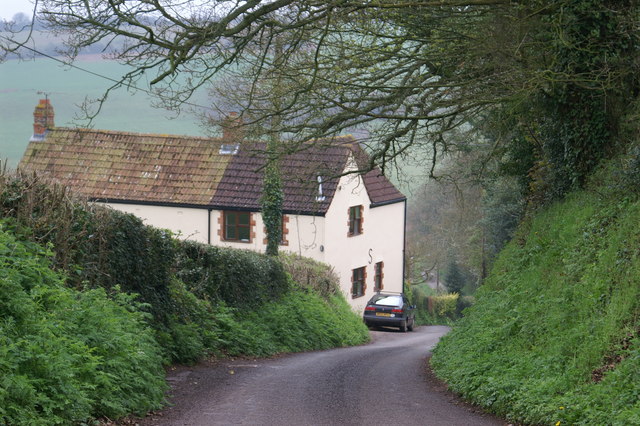
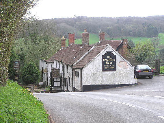
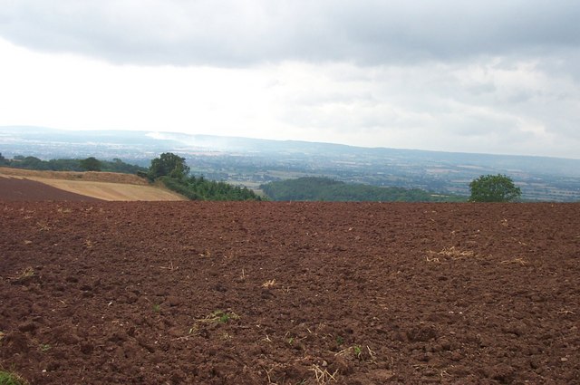
Paradise Plantation Images
Images are sourced within 2km of 51.09751/-3.1090764 or Grid Reference ST2233. Thanks to Geograph Open Source API. All images are credited.
Paradise Plantation is located at Grid Ref: ST2233 (Lat: 51.09751, Lng: -3.1090764)
Administrative County: Somerset
District: Sedgemoor
Police Authority: Avon and Somerset
What 3 Words
///economies.infects.soups. Near North Petherton, Somerset
Related Wikis
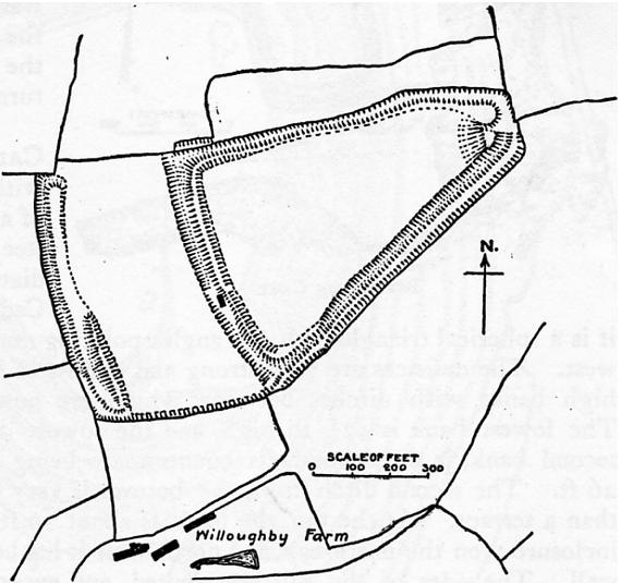
Ruborough Camp
Ruborough Camp is an Iron Age hill fort on the Quantock Hills near Broomfield in Somerset, England. The name comes from Rugan beorh or Ruwan-beorge meaning...

Broomfield Camp
Broomfield Camp (which is also known as Higher Castles enclosure) is a univallate Iron Age hill fort in the Taunton Deane district of Somerset, England...

Broomfield, Somerset
Broomfield is a village and civil parish in Somerset, England, situated about five miles north of Taunton. According to the 2011 census it had a population...

Enmore Castle
Enmore Castle is a historic building in the village of Enmore, Somerset, England. It is a Grade II listed building. == Construction == Enmore was the seat...
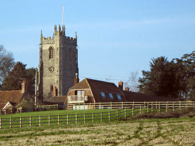
Church of St Michael, Enmore
The Anglican Church of St Michael in Enmore within the English county of Somerset dates mainly from the 15th century, however some of the fabric of the...
Enmore, Somerset
Enmore is a village and civil parish 2 miles (3 km) west of Bridgwater on the Quantock Hills in Somerset, England. The parish includes the hamlet of Bare...

Barford Park
Barford Park is a Georgian country house and park to the south of Spaxton, west of Bridgwater, Somerset, England. It was designated a grade II* listed...

Enmore Park Golf Club
Enmore Park Golf Club is a golf club set within the Quantock hills, an area of outstanding natural beauty, and in the village of Enmore within the county...
Nearby Amenities
Located within 500m of 51.09751,-3.1090764Have you been to Paradise Plantation?
Leave your review of Paradise Plantation below (or comments, questions and feedback).