Watery Bottom
Valley in Somerset Sedgemoor
England
Watery Bottom
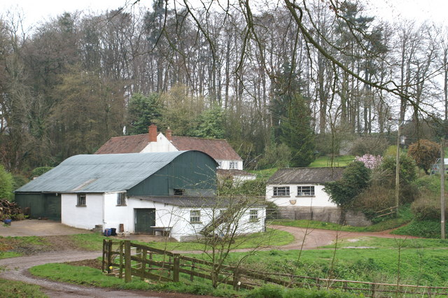
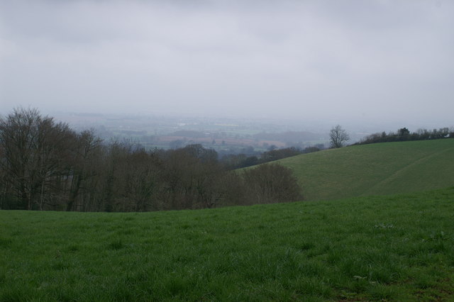
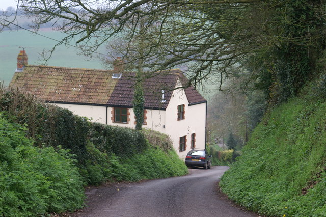
Watery Bottom, Somerset (Valley), is a picturesque village situated in the county of Somerset, England. Nestled within the rolling hills of the Somerset countryside, Watery Bottom resides in a valley, providing stunning panoramic views of the surrounding landscape.
The village is characterized by its tranquil and idyllic atmosphere, offering residents and visitors a peaceful retreat away from the hustle and bustle of city life. The name "Watery Bottom" derives from the presence of a small stream that meanders through the village, adding to its charm and natural beauty.
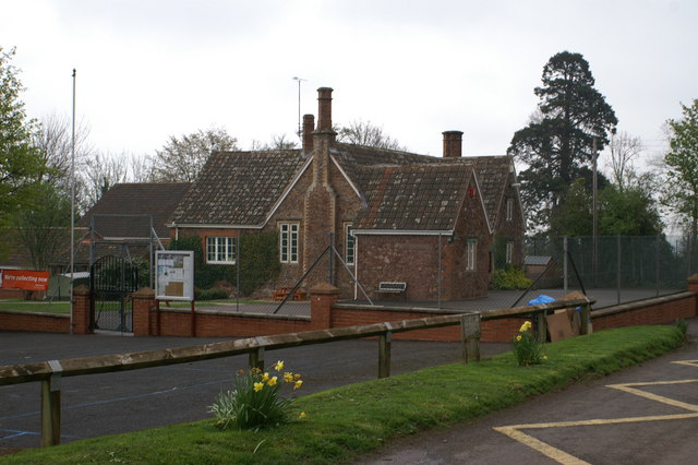
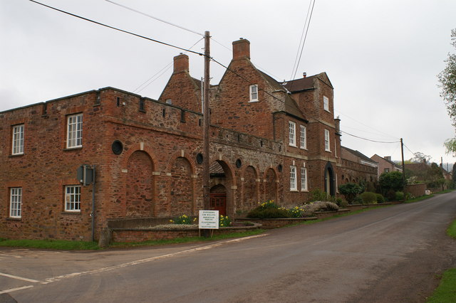
The architecture in Watery Bottom reflects the village's rich history, with traditional stone cottages and thatched roofs dotting the landscape. These quaint buildings are complemented by well-kept gardens and flower-filled window boxes, enhancing the village's picturesque appeal.
While Watery Bottom may be small in size, it boasts a strong sense of community spirit. The village has a local pub, The Watering Hole, which serves as a hub for social gatherings and a place to enjoy locally brewed ales and traditional Somerset cuisine. Additionally, the village hall hosts various events throughout the year, including craft fairs, community meetings, and seasonal celebrations.
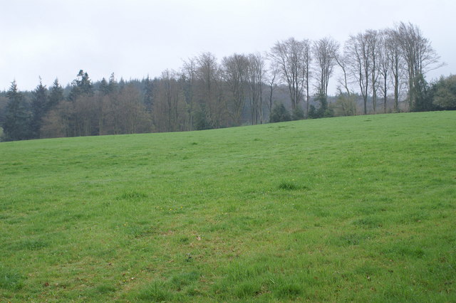
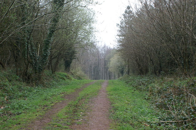
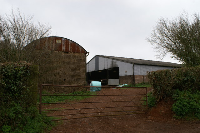
For outdoor enthusiasts, Watery Bottom offers an abundance of natural beauty to explore. The surrounding valley provides ample opportunities for hiking, cycling, and birdwatching, with several well-maintained trails winding through the countryside. The nearby hills also offer stunning viewpoints, allowing visitors to soak in the breathtaking vistas of the Somerset landscape.
In conclusion, Watery Bottom, Somerset (Valley), is a charming and peaceful village in the heart of the Somerset countryside. With its scenic views, historic architecture, and strong sense of community, it provides a delightful retreat for those seeking a tranquil escape.
If you have any feedback on the listing, please let us know in the comments section below.
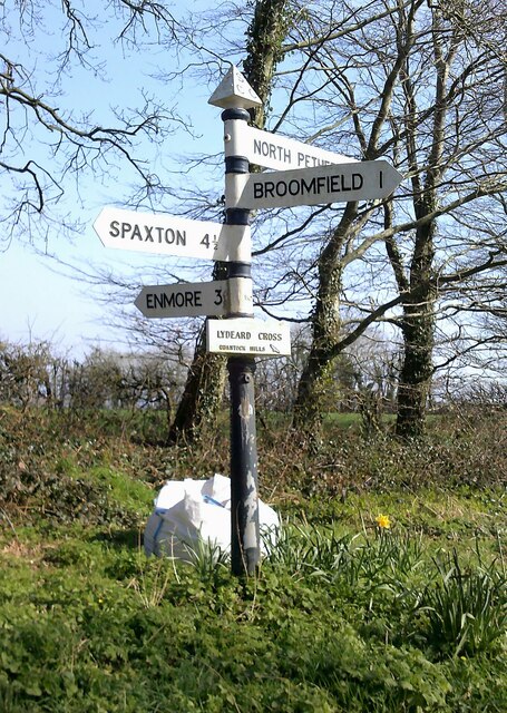
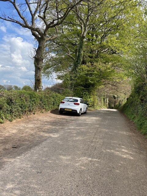
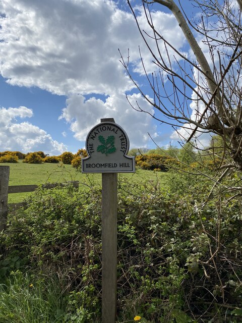
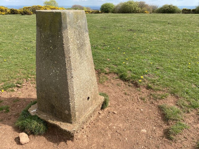
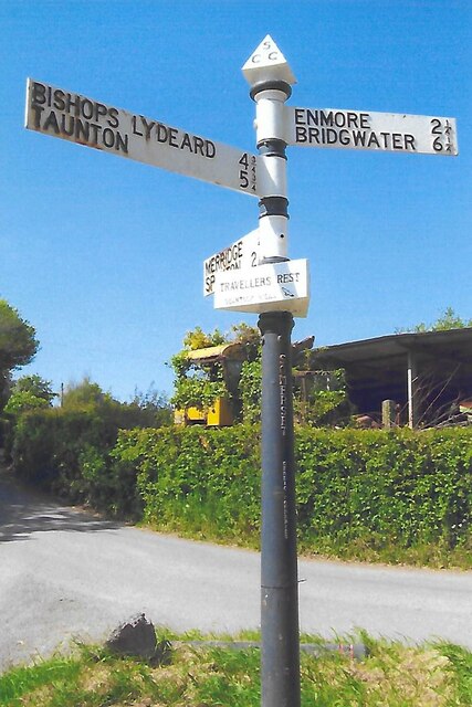
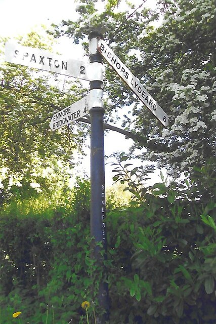
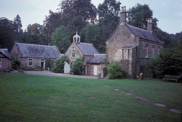
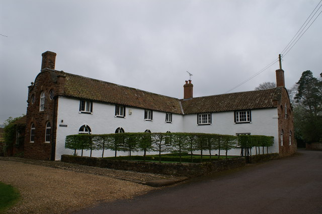
Watery Bottom Images
Images are sourced within 2km of 51.097973/-3.1038177 or Grid Reference ST2233. Thanks to Geograph Open Source API. All images are credited.


Watery Bottom is located at Grid Ref: ST2233 (Lat: 51.097973, Lng: -3.1038177)
Administrative County: Somerset
District: Sedgemoor
Police Authority: Avon and Somerset
What 3 Words
///brochure.nerve.pedicure. Near North Petherton, Somerset
Related Wikis
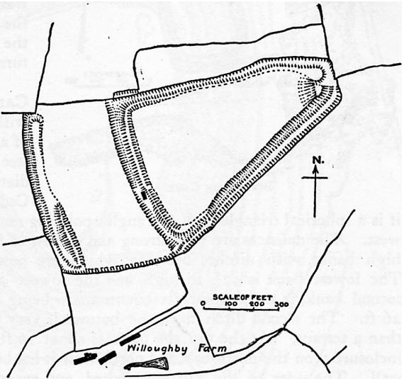
Ruborough Camp
Ruborough Camp is an Iron Age hill fort on the Quantock Hills near Broomfield in Somerset, England. The name comes from Rugan beorh or Ruwan-beorge meaning...

Enmore Castle
Enmore Castle is a historic building in the village of Enmore, Somerset, England. It is a Grade II listed building. == Construction == Enmore was the seat...
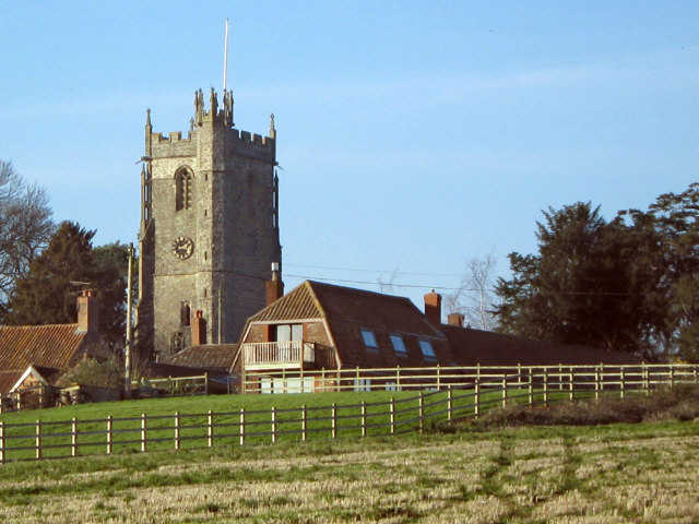
Church of St Michael, Enmore
The Anglican Church of St Michael in Enmore within the English county of Somerset dates mainly from the 15th century, however some of the fabric of the...
Enmore, Somerset
Enmore is a village and civil parish 2 miles (3 km) west of Bridgwater on the Quantock Hills in Somerset, England. The parish includes the hamlet of Bare...

Broomfield, Somerset
Broomfield is a village and civil parish in Somerset, England, situated about five miles north of Taunton. According to the 2011 census it had a population...

Broomfield Camp
Broomfield Camp (which is also known as Higher Castles enclosure) is a univallate Iron Age hill fort in the Taunton Deane district of Somerset, England...

Barford Park
Barford Park is a Georgian country house and park to the south of Spaxton, west of Bridgwater, Somerset, England. It was designated a grade II* listed...

Temple of Harmony
The Temple of Harmony is an 18th-century folly in the grounds of Halswell House, Goathurst, Somerset, England. Built in 1767, it is a replica of the 1st...
Nearby Amenities
Located within 500m of 51.097973,-3.1038177Have you been to Watery Bottom?
Leave your review of Watery Bottom below (or comments, questions and feedback).