Twistgates Covert

Wood, Forest in Devon East Devon

England

Twistgates Covert

The A303 at Newcott Beside the Route 303 restaurant & grill.
The A303 at Newcott Credit: Rod Allday

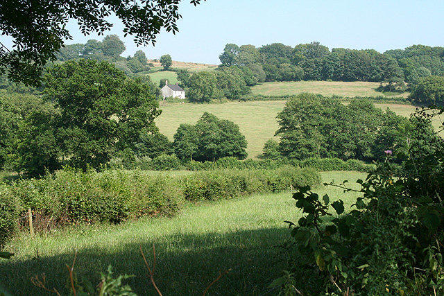
Twistgates Covert is a scenic woodland located in Devon, England. Situated in the heart of the East Devon Area of Outstanding Natural Beauty, this enchanting forest covers an area of approximately 20 acres. The covert is renowned for its tranquil atmosphere, diverse flora, and abundance of wildlife.

The woodland is predominantly composed of native trees, such as oak, beech, and birch, which create a lush and vibrant canopy overhead. These trees provide a haven for a wide array of wildlife, including various species of birds, butterflies, and small mammals. Nature enthusiasts and birdwatchers often flock to Twistgates Covert to observe the rich biodiversity that thrives within its boundaries.

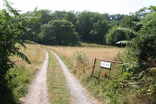
Visitors can explore the winding paths and meandering trails that traverse the covert, allowing them to immerse themselves in the natural beauty of the surroundings. The forest floor is carpeted with ferns, bluebells, and other wildflowers, adding bursts of color to the verdant landscape throughout the seasons.

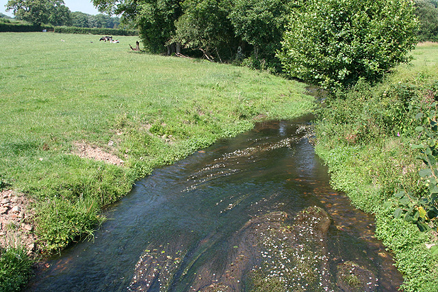
Twistgates Covert also boasts a small pond, which serves as a watering hole for woodland creatures and creates a serene focal point within the forest. The pond attracts a variety of aquatic life, including frogs, newts, and dragonflies.

For those seeking a peaceful retreat or a place to reconnect with nature, Twistgates Covert offers a serene and picturesque destination. Whether it's a leisurely stroll, a picnic surrounded by the sounds of nature, or simply a moment of solitude, this woodland sanctuary provides a welcome escape from the hustle and bustle of everyday life.

If you have any feedback on the listing, please let us know in the comments section below.

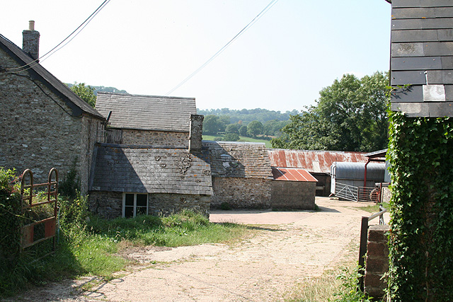
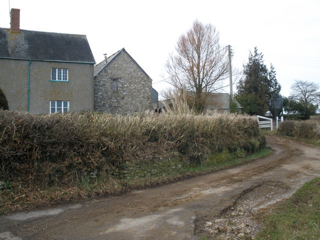
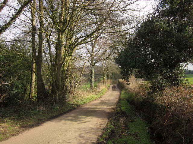
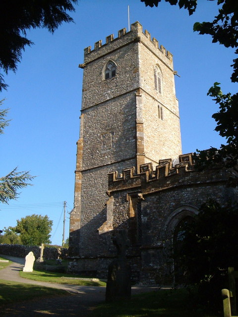
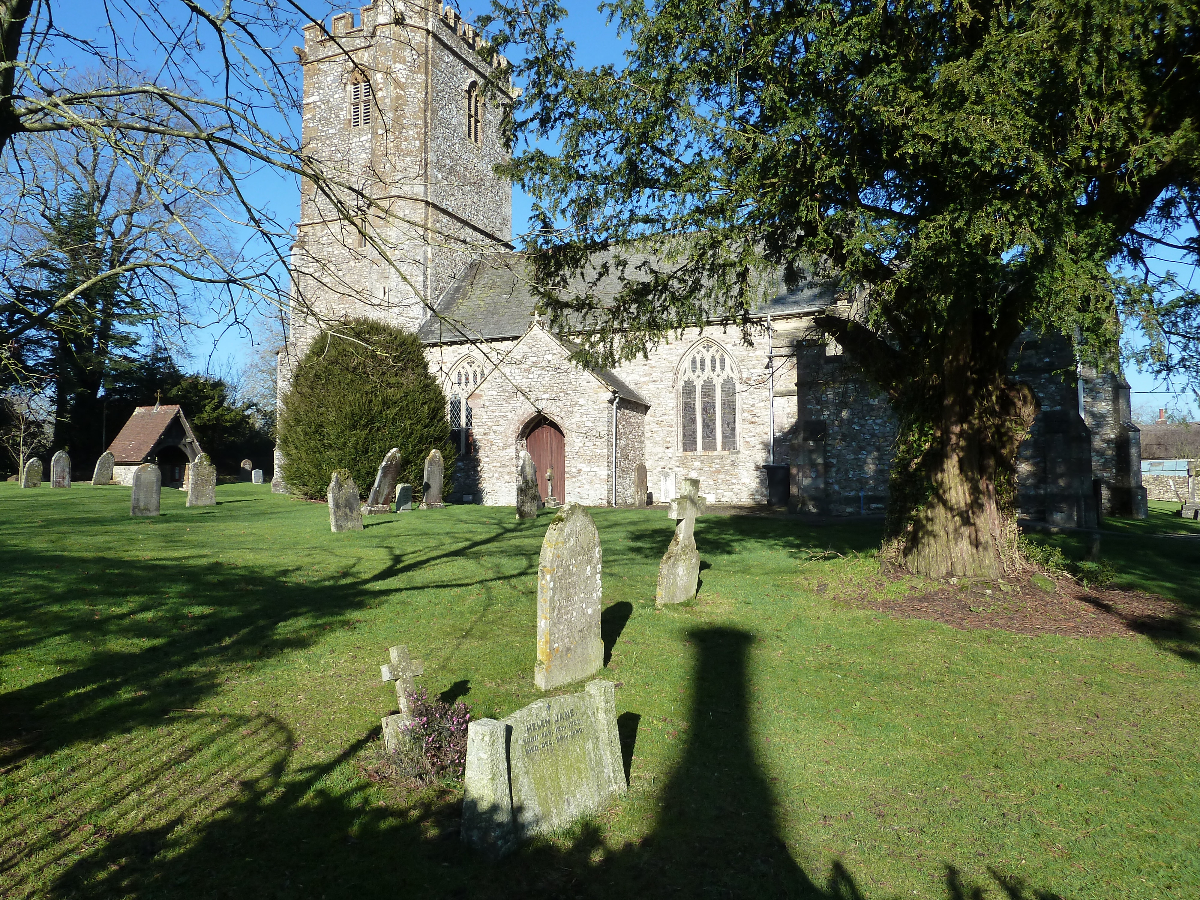
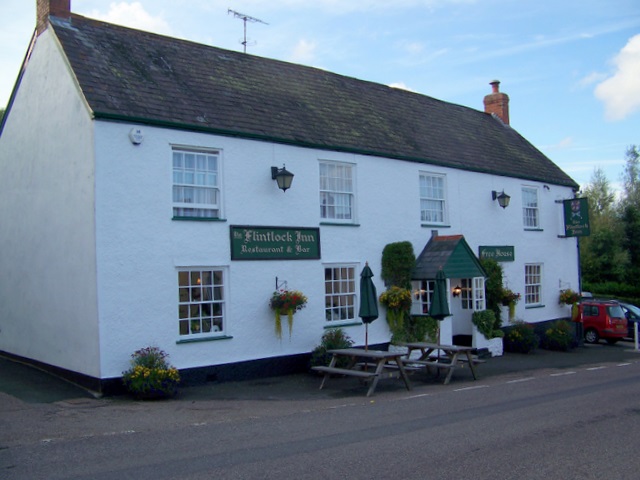
Twistgates Covert Images

Images are sourced within 2km of 50.877294/-3.1038677 or Grid Reference ST2209. Thanks to Geograph Open Source API. All images are credited.

The A303 at Newcott Beside the Route 303 restaurant & grill.
The A303 at Newcott
Beside the Route 303 restaurant & grill.
Upottery: towards Williambeer Farm Looking east across the Otter valley
Upottery: towards Williambeer Farm
Looking east across the Otter valley
Upottery: entrance to Pamos Farm Looking west
Upottery: entrance to Pamos Farm
Looking west
Upottery: the river Otter Near Hoemoor Farm. Looking north
Upottery: the river Otter
Near Hoemoor Farm. Looking north
Yarcombe: Williambeer Farm Seen from the entrance with the farmhouse on the left. Looking west-north-west
Yarcombe: Williambeer Farm
Seen from the entrance with the farmhouse on the left. Looking west-north-west
Yarcombe: towards Dennington Lane By Dennington Lane a side valley runs down to a confluence with the Otter below Stout Mill, where water from the stream once powered a waterwheel and machinery. Looking north-north-west from the B3170 Honiton to Corfe and Taunton road
Yarcombe: towards Dennington Lane
By Dennington Lane a side valley runs down to a confluence with the Otter below Stout Mill, where water from the stream once powered a waterwheel and machinery. Looking north-north-west from the B3170 Honiton to Corfe and Taunton road
Towards Hoemoor Farm from Knapp Farm A large field stretches down to the River Otter, with Hoemoor Farm beyond on the far slopes of the valley. From the lane junction beside Knapp Farm.
Towards Hoemoor Farm from Knapp Farm
A large field stretches down to the River Otter, with Hoemoor Farm beyond on the far slopes of the valley. From the lane junction beside Knapp Farm.
Knightshayne Farm
Knightshayne Farm
Minor road joins the A303
Middle Luxton The farm, perched midway up a valley side above a tributary of the Otter and shining brightly in the late afternoon sun, is seen from the same spot as <a href="https://www.geograph.org.uk/photo/2787539">ST2009 : Field near Minson's Hill Farm</a>.
Middle Luxton
The farm, perched midway up a valley side above a tributary of the Otter and shining brightly in the late afternoon sun, is seen from the same spot as ST2009 : Field near Minson's Hill Farm.
Lane into the Otter valley The lane from Lower Luxton passes Woodcote as it descends into the valley. Williambeer Farm, on the left, is in <a href="https://www.geograph.org.uk/gridref/ST2210">ST2210</a>.
Lane into the Otter valley
The lane from Lower Luxton passes Woodcote as it descends into the valley. Williambeer Farm, on the left, is in ST2210.
Field above the Otter valley A solitary tree in this pasture seen behind a gate by the lane between Lower Luxton and Knapp Farm.
Field above the Otter valley
A solitary tree in this pasture seen behind a gate by the lane between Lower Luxton and Knapp Farm.
Lane in the Otter valley Lower down the lane shown in <a href="https://www.geograph.org.uk/photo/2827708">ST2110 : Lane into the Otter valley</a> and from the same spot as <a href="https://www.geograph.org.uk/photo/2827729">ST2110 : Field above the Otter valley</a>.
Lane in the Otter valley
Lower down the lane shown in ST2110 : Lane into the Otter valley and from the same spot as ST2110 : Field above the Otter valley.
Otter valley The river is running in two channels here, the smaller (followed by a parish boundary and therefore probably the older) just across the meadow, the larger past the alder and other larger trees beyond.
Otter valley
The river is running in two channels here, the smaller (followed by a parish boundary and therefore probably the older) just across the meadow, the larger past the alder and other larger trees beyond.
Bridge over the Otter The bridge from which <a href="https://www.geograph.org.uk/photo/206352">ST2210 : Upottery: the river Otter</a> was taken. The lane continues to a T-junction.
Bridge over the Otter
The bridge from which ST2210 : Upottery: the river Otter was taken. The lane continues to a T-junction.
Otter valley From the lane south of Williambeer Farm. This stretch of valley is shown from the other side in <a href="https://www.geograph.org.uk/photo/2827866">ST2210 : Otter valley</a>; the infant river is in two tree-lined channels.
Otter valley
From the lane south of Williambeer Farm. This stretch of valley is shown from the other side in ST2210 : Otter valley; the infant river is in two tree-lined channels.
Higher Stout Farm The lane past the farm leads to Stout Cross on the B3170.
Higher Stout Farm
The lane past the farm leads to Stout Cross on the B3170.
Stile near Higher Stout Farm Yarcombe Footpath 16 crosses this stile and heads along the edge of the field on its way past a deserted medieval village near Williambeer Farm.
Stile near Higher Stout Farm
Yarcombe Footpath 16 crosses this stile and heads along the edge of the field on its way past a deserted medieval village near Williambeer Farm.
Show me another place!

Twistgates Covert is located at Grid Ref: ST2209 (Lat: 50.877294, Lng: -3.1038677)

Administrative County: Devon

District: East Devon

Police Authority: Devon and Cornwall

What 3 Words

///reward.emulating.solve. Near Dunkeswell, Devon

Related Wikis

Yarcombe

Yarcombe is a village and civil parish in the county of Devon, England, situated in the East Devon administrative district on the A30 road near the towns...

Upottery

Upottery (originally Up Ottery) is a rural village, civil parish and former manor in East Devon, England. == Location == Upottery takes up both sides of...

Marsh, Devon

Marsh is a village in the Blackdown Hills, Devon, England. It is part of the East Devon district, and close to the River Yarty and border with Somerset...

RAF Upottery

RAF Upottery (also known as Smeatharpe) is a former Royal Air Force station in East Devon, England. The airfield is located near the village of Upottery...

Nearby Amenities

Located within 500m of 50.877294,-3.1038677
Power: pole
Source: bing
Lat/Long: 50.8795701/-3.1087004
Power: pole
Source: bing
Lat/Long: 50.8789389/-3.1085904
Power: pole
Source: bing
Transformer: distribution
Lat/Long: 50.8782755/-3.1084657
Power: pole
Source: bing
Lat/Long: 50.8804941/-3.1088747
The data included in this document is from www.openstreetmap.org. The data is made available under ODbL.

Have you been to Twistgates Covert?

Leave your review of Twistgates Covert below (or comments, questions and feedback).