No Place Plantation
Wood, Forest in Somerset Sedgemoor
England
No Place Plantation
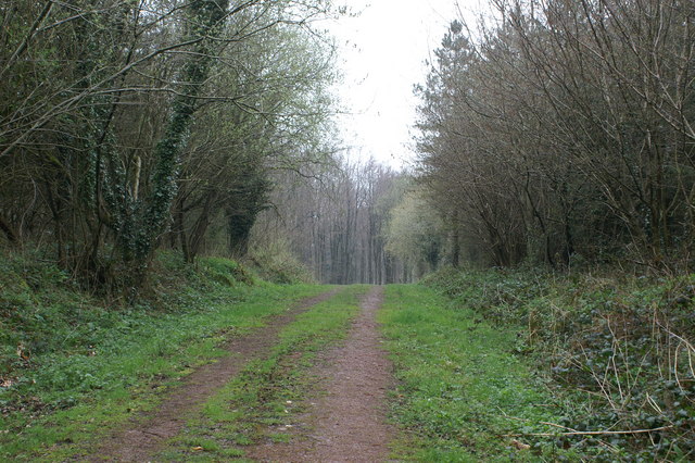
No Place Plantation, Somerset (Wood, Forest) is a magnificent estate located in the beautiful county of Somerset, England. Spanning across a vast area, this historic plantation is known for its captivating woodlands and enchanting forests.
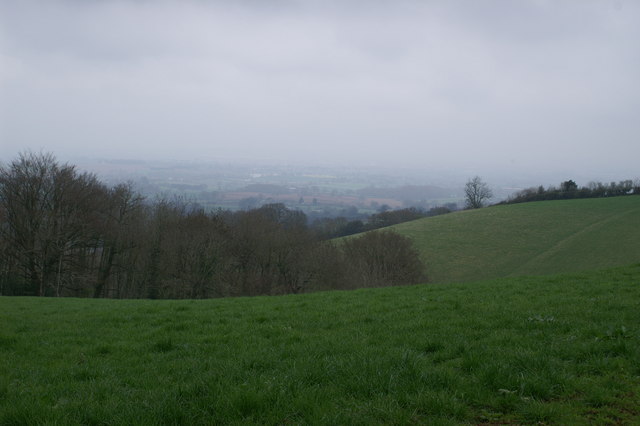
The plantation is situated in a serene and secluded location, providing a peaceful retreat for nature enthusiasts and those seeking a tranquil getaway. The woodlands boast a diverse range of trees, including oak, beech, and pine, creating a picturesque landscape that is a true feast for the eyes. The forest, on the other hand, is home to an abundance of wildlife, making it a haven for nature lovers and wildlife photographers alike.
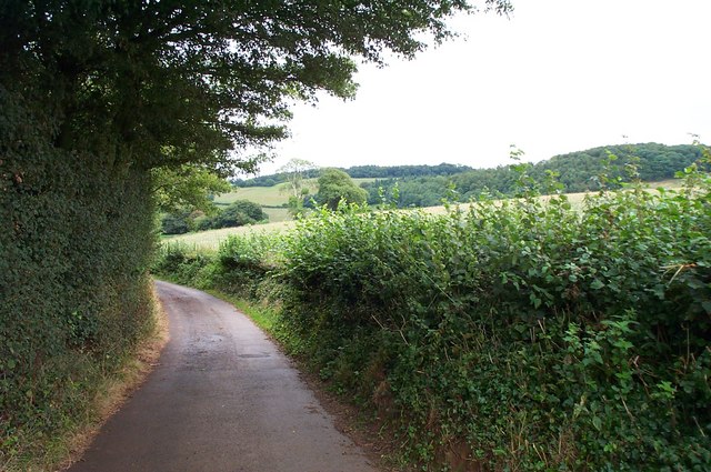
No Place Plantation offers a range of activities for visitors to enjoy. Walking and hiking trails are available, allowing guests to explore the plantation's natural beauty at their own pace. The plantation also offers guided tours, where knowledgeable guides provide valuable insights into the history, flora, and fauna of the area.
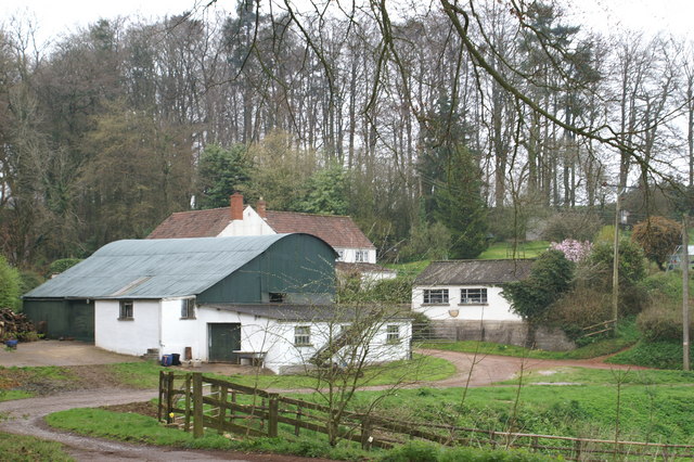
In addition to its natural splendor, No Place Plantation offers a range of amenities for visitors. There are well-maintained picnic areas, perfect for enjoying a leisurely lunch amidst the stunning surroundings. The plantation also boasts a cozy café, serving delicious refreshments and light snacks.
Overall, No Place Plantation, Somerset (Wood, Forest) is a captivating destination that showcases the beauty of nature. With its breathtaking woodlands, enchanting forests, and a range of activities for visitors to enjoy, it is a must-visit for anyone seeking a peaceful and rejuvenating experience in the heart of Somerset.
If you have any feedback on the listing, please let us know in the comments section below.
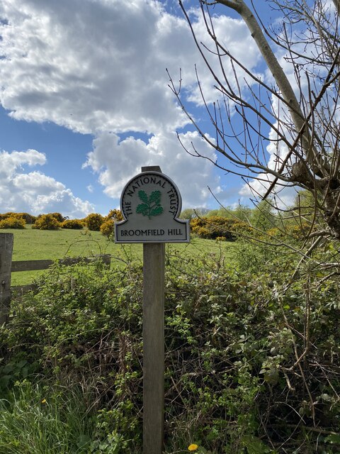
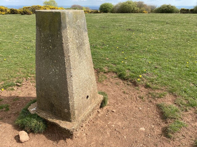
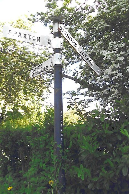
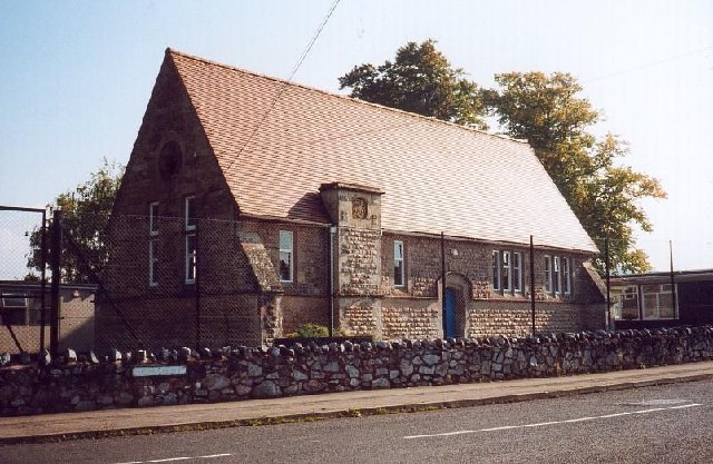
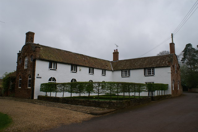
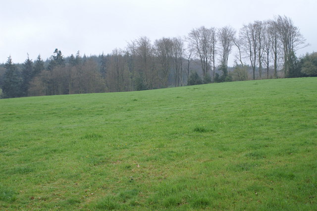
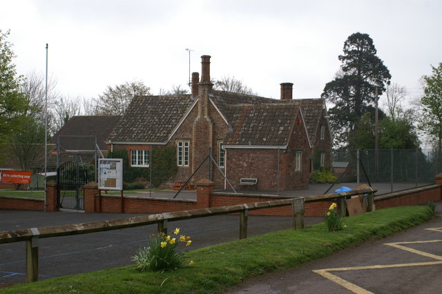
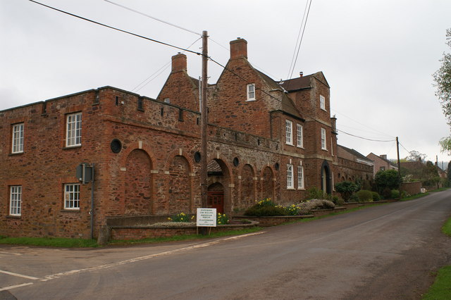
No Place Plantation Images
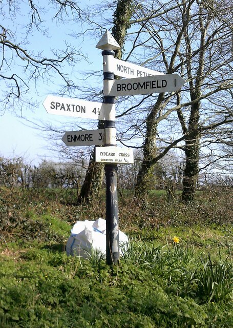
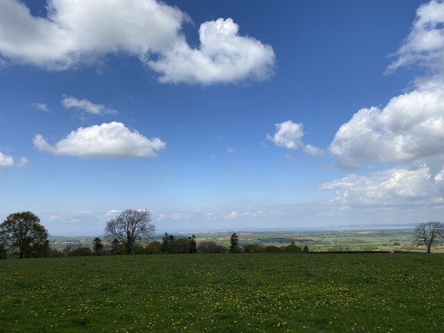
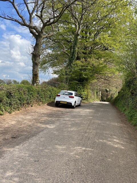
Images are sourced within 2km of 51.107178/-3.1079937 or Grid Reference ST2234. Thanks to Geograph Open Source API. All images are credited.


No Place Plantation is located at Grid Ref: ST2234 (Lat: 51.107178, Lng: -3.1079937)
Administrative County: Somerset
District: Sedgemoor
Police Authority: Avon and Somerset
What 3 Words
///dreamers.mime.chapters. Near Nether Stowey, Somerset
Nearby Locations
Related Wikis
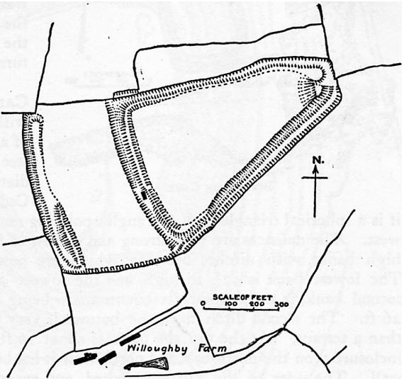
Ruborough Camp
Ruborough Camp is an Iron Age hill fort on the Quantock Hills near Broomfield in Somerset, England. The name comes from Rugan beorh or Ruwan-beorge meaning...

Barford Park
Barford Park is a Georgian country house and park to the south of Spaxton, west of Bridgwater, Somerset, England. It was designated a grade II* listed...

Enmore Castle
Enmore Castle is a historic building in the village of Enmore, Somerset, England. It is a Grade II listed building. == Construction == Enmore was the seat...
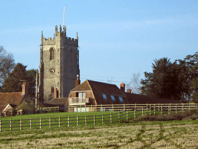
Church of St Michael, Enmore
The Anglican Church of St Michael in Enmore within the English county of Somerset dates mainly from the 15th century, however some of the fabric of the...
Enmore, Somerset
Enmore is a village and civil parish 2 miles (3 km) west of Bridgwater on the Quantock Hills in Somerset, England. The parish includes the hamlet of Bare...

Enmore Park Golf Club
Enmore Park Golf Club is a golf club set within the Quantock hills, an area of outstanding natural beauty, and in the village of Enmore within the county...

Hawkridge Reservoir
Hawkridge Reservoir is a reservoir near Spaxton, Somerset, England. The inflow is from several streams in the Quantock Hills Area of Outstanding Natural...

Agapemonites
The Agapemonites or Community of The Son of Man was a Christian religious group or sect that existed in England from 1846 to 1956. It was named from the...
Have you been to No Place Plantation?
Leave your review of No Place Plantation below (or comments, questions and feedback).