Park Wood

Wood, Forest in Lancashire South Lakeland

England

Park Wood

Recent felling on Coops Wood has opened up a view of the bridge over the Duddon
Recent felling on Coops Wood has opened up a view of the bridge over the Duddon Credit: Mick Garratt

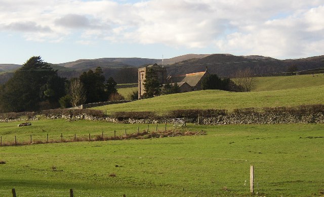
Park Wood is a beautiful and expansive forest located in Lancashire, England. Covering an area of approximately 200 acres, it is a popular destination for nature enthusiasts and outdoor adventurers alike. The wood is situated near the village of Park, hence its name, and is surrounded by picturesque countryside.

Known for its dense and diverse tree population, Park Wood is home to a variety of species including oak, beech, and birch. These towering trees create a lush and vibrant canopy that provides a habitat for a wide range of wildlife. Visitors to the wood can often spot squirrels, deer, and a plethora of bird species, making it a haven for birdwatchers.

The wood features a network of well-maintained footpaths and trails, allowing visitors to explore its natural beauty at their own pace. There are also designated picnic areas and benches scattered throughout the wood, providing a perfect spot for a leisurely lunch or a moment of tranquility.

In addition to its natural splendor, Park Wood offers recreational activities such as hiking, jogging, and cycling. The quiet and peaceful atmosphere makes it an ideal place for those seeking a break from the hustle and bustle of everyday life.

Park Wood is easily accessible by car and offers ample parking facilities. It is also well-connected to nearby towns and villages by public transportation, making it a convenient destination for both locals and tourists.

Overall, Park Wood is a hidden gem in Lancashire, offering a serene and scenic escape for nature lovers, walkers, and outdoor enthusiasts.

If you have any feedback on the listing, please let us know in the comments section below.
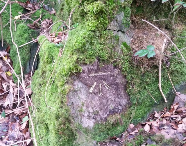
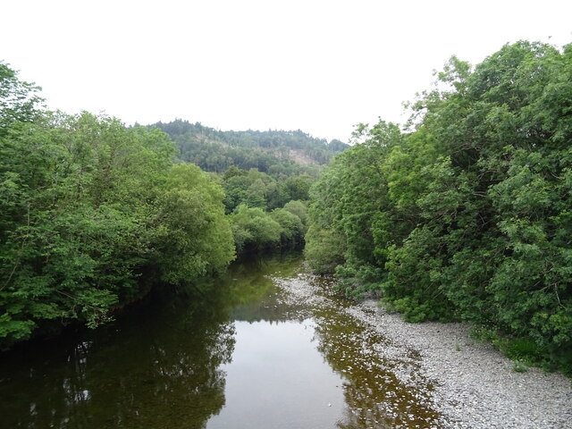
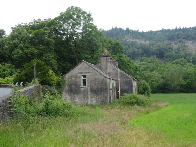
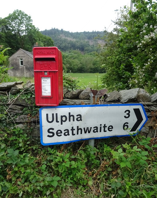
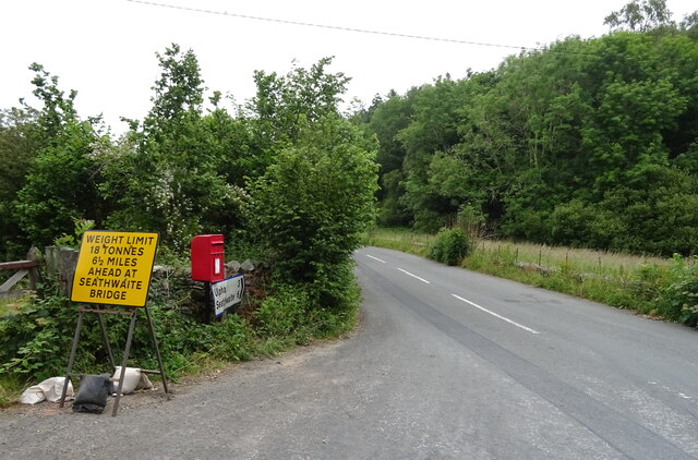
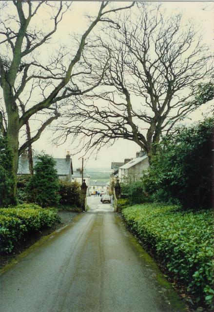
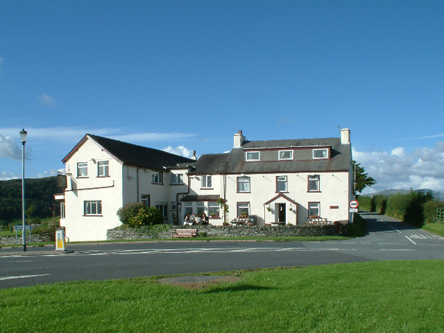
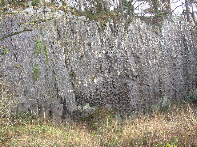
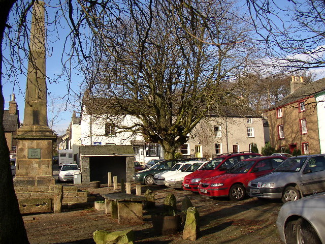
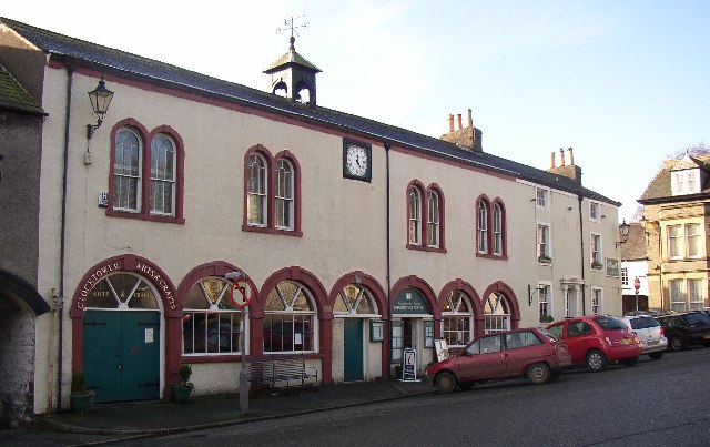
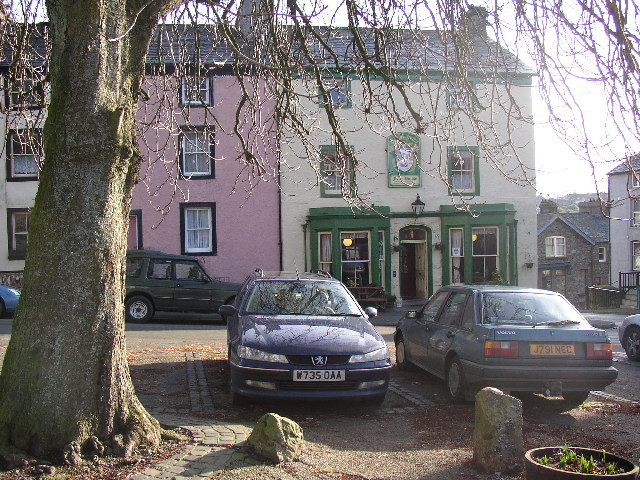
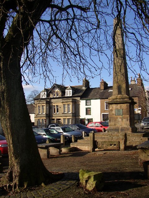
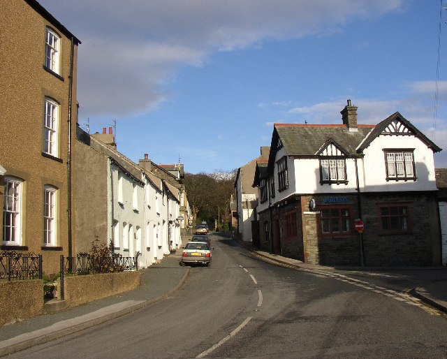
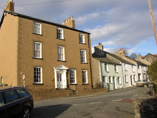
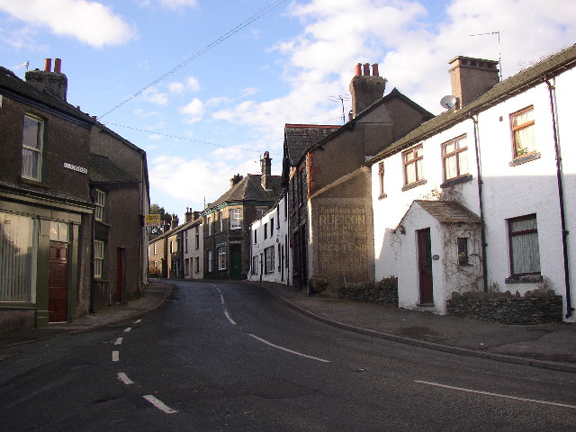
Park Wood Images

Images are sourced within 2km of 54.283865/-3.2020726 or Grid Reference SD2188. Thanks to Geograph Open Source API. All images are credited.

Recent felling on Coops Wood has opened up a view of the bridge over the Duddon
Pivot type mark This Pivot style mark can be found on the SE parapet of the bridge.
Pivot type mark
This Pivot style mark can be found on the SE parapet of the bridge.
Ordnance Survey Cut Mark This OS cut mark can be found on a rock face west side of the road. It marks a point 31.425m above mean sea level.
Ordnance Survey Cut Mark
This OS cut mark can be found on a rock face west side of the road. It marks a point 31.425m above mean sea level.
River Duddon from Duddon Bridge
Duddon Bridge Cottage, Duddon Bridge
Elizabeth II postbox on the A595, Duddon Bridge Postbox No. LA20 68.

See <a href="https://www.geograph.org.uk/photo/6899751">SD1988 : Smithy Lane, Duddon Bridge</a> for context.
Elizabeth II postbox on the A595, Duddon Bridge
Postbox No. LA20 68. See SD1988 : Smithy Lane, Duddon Bridge for context.
Smithy Lane, Duddon Bridge Showing position of Postbox No. LA20 68.

See <a href="https://www.geograph.org.uk/photo/6899749">SD1988 : Elizabeth II postbox on the A595, Duddon Bridge</a> for postbox.
Smithy Lane, Duddon Bridge
Showing position of Postbox No. LA20 68. See SD1988 : Elizabeth II postbox on the A595, Duddon Bridge for postbox.
Broughton-in-Furness Looking towards the town square from the driveway of Broughton Tower
Broughton-in-Furness
Looking towards the town square from the driveway of Broughton Tower
High Cross Inn As its name suggests, the High Cross Inn is situated at a crossroads on top of a ridge, which lies between the town of Broughton in Furness and the Duddon valley.
High Cross Inn
As its name suggests, the High Cross Inn is situated at a crossroads on top of a ridge, which lies between the town of Broughton in Furness and the Duddon valley.
'Donkey Rock', Broughton-in-Furness By the roadside at SD210867, Bush Green Quarry has a cliff-face 70m across and 10m high that shows 'sole structures' in the almost vertically bedded turbidite sandstones and mudstones (Coniston Grits) of Silurian age, about 400 million years old. These are knobbly lumps on the surface of the rock, formed by the deposition of hard material on the sea-bed by deep-water currents, and there are more than 1800 of them, mainly types known as flute and load casts, covering six bedding planes (see <span class="nowrap"><a title="www.ougsnw.org.uk/photo_gallery/Geoscenes/" rel="nofollow ugc noopener" href="http://www.ougsnw.org.uk/photo_gallery/Geoscenes/">Link</a><img style="margin-left:2px;" alt="External link" title="External link - shift click to open in new window" src="https://s1.geograph.org.uk/img/external.png" width="10" height="10"/></span> Foxfield.html).    Further information see Moseley 1978 Geology of the Lake District, p 143, Yorkshire Geological Society.
'Donkey Rock', Broughton-in-Furness
By the roadside at SD210867, Bush Green Quarry has a cliff-face 70m across and 10m high that shows 'sole structures' in the almost vertically bedded turbidite sandstones and mudstones (Coniston Grits) of Silurian age, about 400 million years old. These are knobbly lumps on the surface of the rock, formed by the deposition of hard material on the sea-bed by deep-water currents, and there are more than 1800 of them, mainly types known as flute and load casts, covering six bedding planes (see LinkExternal link Foxfield.html). Further information see Moseley 1978 Geology of the Lake District, p 143, Yorkshire Geological Society.
The Square, Broughton-in-Furness Before the mid-18C, Broughton-in-Furness was a loose group of buildings strung out along the ancient coastal route, but after seeing in 1760 the new squares then being constructed in London, Gilpin Sawrey, the Lord of the Manor, made his own version.  The square is lined by trees and surrounded by 18C buildings in terraces. The Obelisk  of 1810 was erected for the Jubilee of George III.  There are stone slabs for the display of fish etc in the market (no longer used).
The Square, Broughton-in-Furness
Before the mid-18C, Broughton-in-Furness was a loose group of buildings strung out along the ancient coastal route, but after seeing in 1760 the new squares then being constructed in London, Gilpin Sawrey, the Lord of the Manor, made his own version. The square is lined by trees and surrounded by 18C buildings in terraces. The Obelisk of 1810 was erected for the Jubilee of George III. There are stone slabs for the display of fish etc in the market (no longer used).
The Town Hall, Broughton-in-Furness On the south side of the Square the Town Hall built in 1766, of seven bays originally with open arcading.  The building houses the Information Centre and has a clock and a belfry. It is joined to its neighbours and cement rendered like them.
The Town Hall, Broughton-in-Furness
On the south side of the Square the Town Hall built in 1766, of seven bays originally with open arcading. The building houses the Information Centre and has a clock and a belfry. It is joined to its neighbours and cement rendered like them.
The Manor Arms, The Square, broughton-in-Furness On the east side of the Square is the 18C Manor Arms, serving real ales.  It has a rare 18C "basket" fireplace (one of only ten) which was designed to burn peat as well, as wood and coal.
The Manor Arms, The Square, broughton-in-Furness
On the east side of the Square is the 18C Manor Arms, serving real ales. It has a rare 18C "basket" fireplace (one of only ten) which was designed to burn peat as well, as wood and coal.
Sw Corner of The Square, Broughton-in-Furness The Obelisk  of 1810 was erected for the Golden Jubilee of George III.  According to the OS map of 1888-9 the building with the bay windows was then a bank.
Sw Corner of The Square, Broughton-in-Furness
The Obelisk of 1810 was erected for the Golden Jubilee of George III. According to the OS map of 1888-9 the building with the bay windows was then a bank.
Griffin Street , Broughton-in-Furness This connects Church Street with The Square.  The gates of Broughton Tower can be seen in the distance.
Griffin Street , Broughton-in-Furness
This connects Church Street with The Square. The gates of Broughton Tower can be seen in the distance.
Broughton House, Griffin Street, Broughton-in-Furness The prosperity of the town in the 18C is illustrated by Broughton House, a wide three-storey building with a central portico.  The owner was not a slave to symmetry as there are two ground floor windows on one side and only one on the other.
Broughton House, Griffin Street, Broughton-in-Furness
The prosperity of the town in the 18C is illustrated by Broughton House, a wide three-storey building with a central portico. The owner was not a slave to symmetry as there are two ground floor windows on one side and only one on the other.
Church Street, Broughton-in-Furness This was called Old Street in 1888.  Further up on the left a school was built c.1866 to accommodate 113 children; it was funded by public subscription, replacing a previous smaller school.  The police station was just past the end of the lane to the church.
Church Street, Broughton-in-Furness
This was called Old Street in 1888. Further up on the left a school was built c.1866 to accommodate 113 children; it was funded by public subscription, replacing a previous smaller school. The police station was just past the end of the lane to the church.
Church amidst fields, Broughton-in-Furness This is taken from the old railway track, off Foxfield Road.  See SD2087 for details of the church.
Church amidst fields, Broughton-in-Furness
This is taken from the old railway track, off Foxfield Road. See SD2087 for details of the church.
Show me another place!

Park Wood is located at Grid Ref: SD2188 (Lat: 54.283865, Lng: -3.2020726)

Administrative County: Cumbria

District: South Lakeland

Police Authority: Cumbria

What 3 Words

///circles.emotional.stutter. Near Millom, Cumbria

Related Wikis

Old Town Hall, Broughton-in-Furness

The Old Town Hall is a municipal building in The Square, Broughton-in-Furness, a town in Cumbria, England. The building, which currently accommodates a...

Broughton-in-Furness

Broughton in Furness is a market town in the civil parish of Broughton West in the Westmorland and Furness district of Cumbria, England. It had a population...

Broughton-in-Furness railway station

Broughton-in-Furness railway station served the market town of Broughton-in-Furness, in Lancashire, England (now in Cumbria). It was on the branch line...

St Mary Magdalene's Church, Broughton-in-Furness

St Mary Magdalene's Church is in Broughton-in-Furness, Cumbria, England. It is an active Anglican parish church in the deanery of Furness, the archdeaconry...

Nearby Amenities

Located within 500m of 54.283865,-3.2020726
Barrier: stile
Lat/Long: 54.286823/-3.2065926
Barrier: kissing_gate
Lat/Long: 54.282231/-3.2036549
Barrier: stile
Lat/Long: 54.2842911/-3.2086193
Bench
Lat/Long: 54.2825153/-3.201438
Barrier: stile
Lat/Long: 54.2839793/-3.199421
Barrier: stile
Stile: squeezer
Lat/Long: 54.2870541/-3.2066626
Ford: yes
Lat/Long: 54.2848138/-3.1984429
Power: pole
Lat/Long: 54.2802694/-3.1979804
Power: pole
Lat/Long: 54.2806173/-3.1972314
Power: pole
Lat/Long: 54.2809747/-3.1964502
Power: pole
Lat/Long: 54.2859922/-3.2088498
Power: pole
Lat/Long: 54.2882347/-3.203842
The data included in this document is from www.openstreetmap.org. The data is made available under ODbL.

Have you been to Park Wood?

Leave your review of Park Wood below (or comments, questions and feedback).