West Park

Downs, Moorland in Lancashire South Lakeland

England

West Park

Recent felling on Coops Wood has opened up a view of the bridge over the Duddon
Recent felling on Coops Wood has opened up a view of the bridge over the Duddon Credit: Mick Garratt

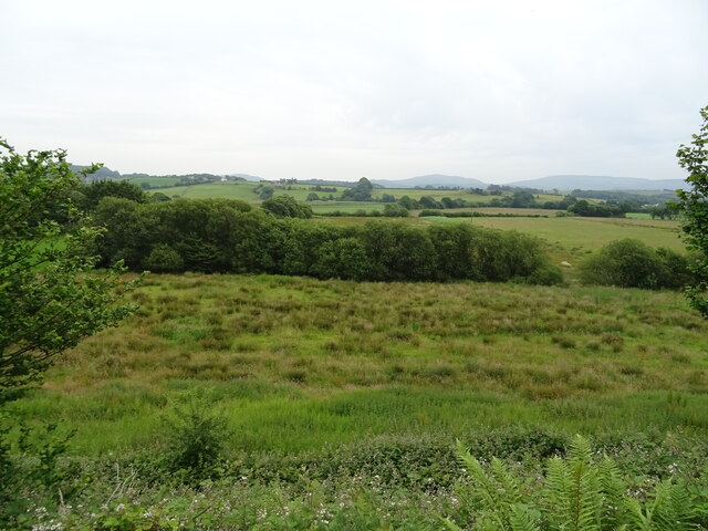
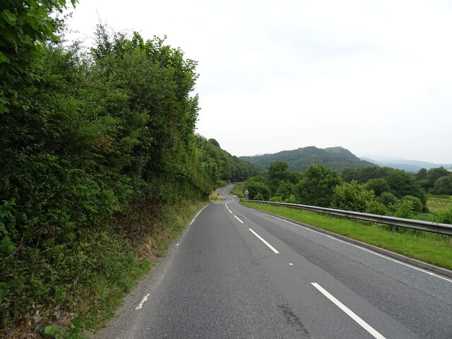
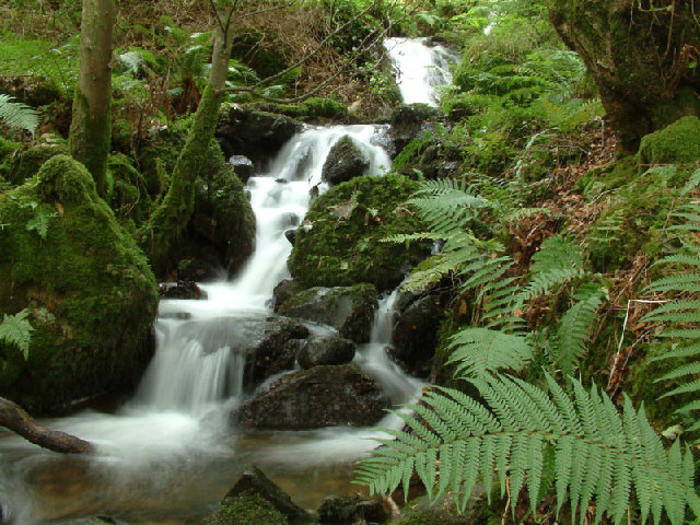
West Park is a picturesque area located in Lancashire, England. It is known for its stunning downs and moorland, which attract visitors from all over the country. The downs, characterized by their rolling hills and open grasslands, offer breathtaking views of the surrounding countryside.

The area is home to a diverse range of flora and fauna, including several rare and protected species. Visitors can expect to see wildflowers dotting the landscape during the spring and summer months, while birdwatchers can spot various species of birds throughout the year.

West Park is also popular among outdoor enthusiasts, offering ample opportunities for hiking, walking, and cycling. There are numerous well-maintained trails that wind through the downs and moorland, allowing visitors to explore the natural beauty of the area at their own pace.

In addition to its natural attractions, West Park boasts several amenities for visitors. There are picnic areas where families and friends can enjoy a meal amidst the tranquil surroundings. The park also features a visitor center, where visitors can learn more about the local wildlife and history of the area.

Overall, West Park, Lancashire, offers a serene and idyllic escape for nature lovers. With its downs and moorland, stunning views, and abundant wildlife, it provides a unique and unforgettable experience for all who visit.

If you have any feedback on the listing, please let us know in the comments section below.
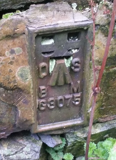
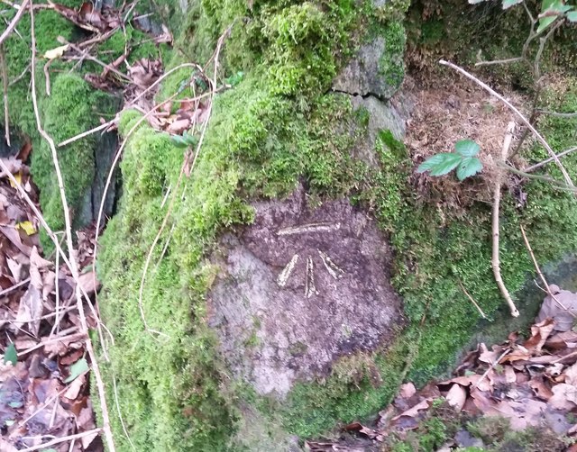
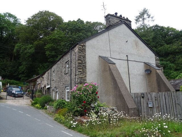
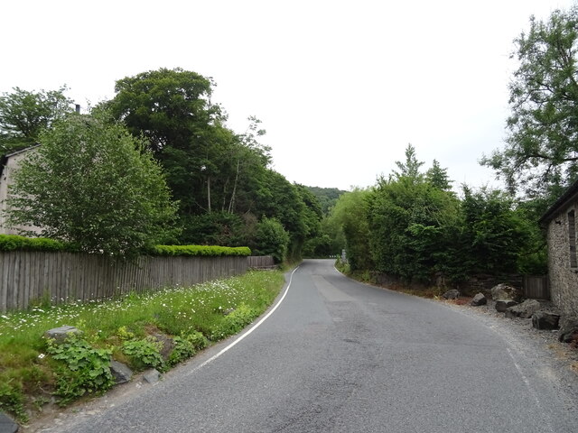
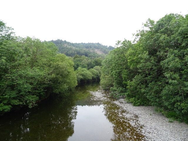
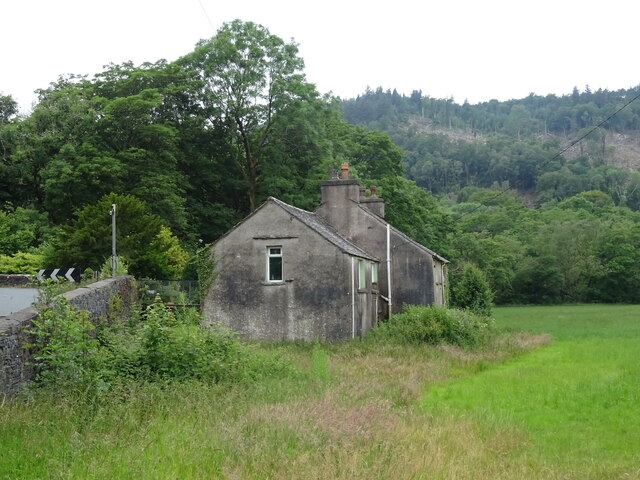
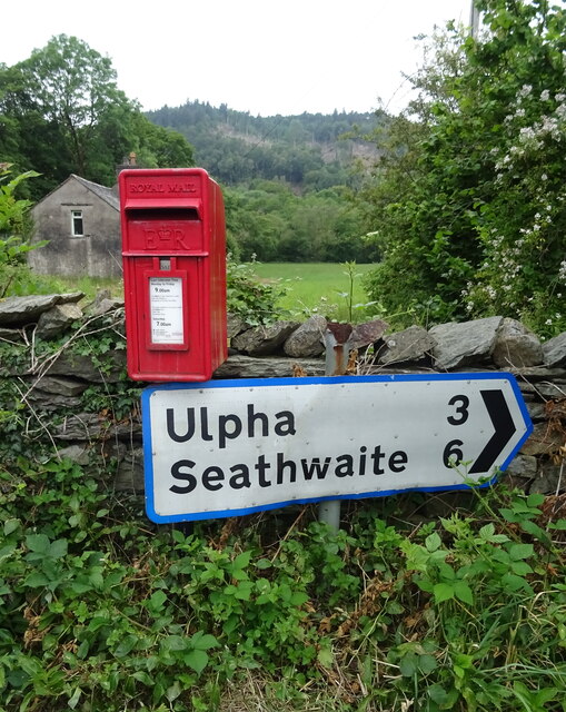
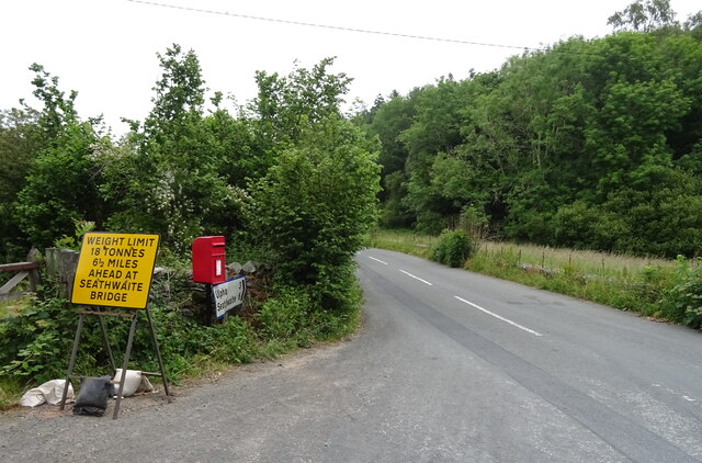
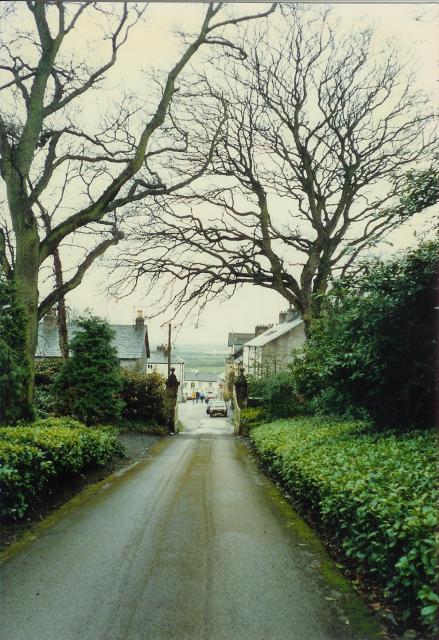
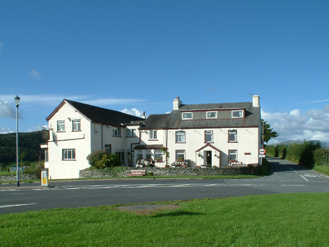
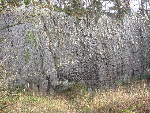
West Park Images

Images are sourced within 2km of 54.282043/-3.2107442 or Grid Reference SD2188. Thanks to Geograph Open Source API. All images are credited.

Recent felling on Coops Wood has opened up a view of the bridge over the Duddon
Bluebells, Furnace Wood In deepest Duddon
Bluebells, Furnace Wood
In deepest Duddon
Duddon iron furnace (disused) A charcoal burning blast furnace dating from 1736. Isaac Wilkinson's cylinder bellows powered by water were first applied here. It is a Scheduled Ancient Monument but is temporarily closed to the public while structural issues are considered. There is a good view from the bridleway that goes past the site.
Duddon iron furnace (disused)
A charcoal burning blast furnace dating from 1736. Isaac Wilkinson's cylinder bellows powered by water were first applied here. It is a Scheduled Ancient Monument but is temporarily closed to the public while structural issues are considered. There is a good view from the bridleway that goes past the site.
Pivot type mark This Pivot style mark can be found on the SE parapet of the bridge.
Pivot type mark
This Pivot style mark can be found on the SE parapet of the bridge.
Ordnance Survey Flush Bracket (G3075) This OS Flush Bracket can be found on a roadside building at Duddon Bridge Farm. It marks a point 10.398m above mean sea level.
Ordnance Survey Flush Bracket (G3075)
This OS Flush Bracket can be found on a roadside building at Duddon Bridge Farm. It marks a point 10.398m above mean sea level.
Ordnance Survey Cut Mark This OS cut mark can be found on a rock face west side of the road. It marks a point 31.425m above mean sea level.
Ordnance Survey Cut Mark
This OS cut mark can be found on a rock face west side of the road. It marks a point 31.425m above mean sea level.
Rough grazing near Holme Farm East of the A595.
Rough grazing near Holme Farm
East of the A595.
A595 towards Broughton in Furness
Cottages, Duddon Bridge
A595, Duddon Bridge Towards Broughton in Furness.
A595, Duddon Bridge
Towards Broughton in Furness.
River Duddon from Duddon Bridge
Duddon Bridge Cottage, Duddon Bridge
Elizabeth II postbox on the A595, Duddon Bridge Postbox No. LA20 68.

See <a href="https://www.geograph.org.uk/photo/6899751">SD1988 : Smithy Lane, Duddon Bridge</a> for context.
Elizabeth II postbox on the A595, Duddon Bridge
Postbox No. LA20 68. See SD1988 : Smithy Lane, Duddon Bridge for context.
Smithy Lane, Duddon Bridge Showing position of Postbox No. LA20 68.

See <a href="https://www.geograph.org.uk/photo/6899749">SD1988 : Elizabeth II postbox on the A595, Duddon Bridge</a> for postbox.
Smithy Lane, Duddon Bridge
Showing position of Postbox No. LA20 68. See SD1988 : Elizabeth II postbox on the A595, Duddon Bridge for postbox.
Broughton-in-Furness Looking towards the town square from the driveway of Broughton Tower
Broughton-in-Furness
Looking towards the town square from the driveway of Broughton Tower
Waterfall near Duddon Bridge The public footpath from Duddon Bridge up onto Wrayslack goes through the quiet woods the blanket these slopes of the Duddon valley, with a beck accompanying the path towards the bottom.
Waterfall near Duddon Bridge
The public footpath from Duddon Bridge up onto Wrayslack goes through the quiet woods the blanket these slopes of the Duddon valley, with a beck accompanying the path towards the bottom.
High Cross Inn As its name suggests, the High Cross Inn is situated at a crossroads on top of a ridge, which lies between the town of Broughton in Furness and the Duddon valley.
High Cross Inn
As its name suggests, the High Cross Inn is situated at a crossroads on top of a ridge, which lies between the town of Broughton in Furness and the Duddon valley.
'Donkey Rock', Broughton-in-Furness By the roadside at SD210867, Bush Green Quarry has a cliff-face 70m across and 10m high that shows 'sole structures' in the almost vertically bedded turbidite sandstones and mudstones (Coniston Grits) of Silurian age, about 400 million years old. These are knobbly lumps on the surface of the rock, formed by the deposition of hard material on the sea-bed by deep-water currents, and there are more than 1800 of them, mainly types known as flute and load casts, covering six bedding planes (see <span class="nowrap"><a title="www.ougsnw.org.uk/photo_gallery/Geoscenes/" rel="nofollow ugc noopener" href="http://www.ougsnw.org.uk/photo_gallery/Geoscenes/">Link</a><img style="margin-left:2px;" alt="External link" title="External link - shift click to open in new window" src="https://s1.geograph.org.uk/img/external.png" width="10" height="10"/></span> Foxfield.html).    Further information see Moseley 1978 Geology of the Lake District, p 143, Yorkshire Geological Society.
'Donkey Rock', Broughton-in-Furness
By the roadside at SD210867, Bush Green Quarry has a cliff-face 70m across and 10m high that shows 'sole structures' in the almost vertically bedded turbidite sandstones and mudstones (Coniston Grits) of Silurian age, about 400 million years old. These are knobbly lumps on the surface of the rock, formed by the deposition of hard material on the sea-bed by deep-water currents, and there are more than 1800 of them, mainly types known as flute and load casts, covering six bedding planes (see LinkExternal link Foxfield.html). Further information see Moseley 1978 Geology of the Lake District, p 143, Yorkshire Geological Society.
Show me another place!

West Park is located at Grid Ref: SD2188 (Lat: 54.282043, Lng: -3.2107442)

Administrative County: Cumbria

District: South Lakeland

Police Authority: Cumbria

What 3 Words

///scaffold.guru.playroom. Near Millom, Cumbria

Related Wikis

Broughton-in-Furness

Broughton in Furness is a market town in the civil parish of Broughton West in the Westmorland and Furness district of Cumbria, England. It had a population...

Old Town Hall, Broughton-in-Furness

The Old Town Hall is a municipal building in The Square, Broughton-in-Furness, a town in Cumbria, England. The building, which currently accommodates a...

Broughton-in-Furness railway station

Broughton-in-Furness railway station served the market town of Broughton-in-Furness, in Lancashire, England (now in Cumbria). It was on the branch line...

St Mary Magdalene's Church, Broughton-in-Furness

St Mary Magdalene's Church is in Broughton-in-Furness, Cumbria, England. It is an active Anglican parish church in the deanery of Furness, the archdeaconry...

Nearby Amenities

Located within 500m of 54.282043,-3.2107442
Bus Stop
Market Square
Local Ref: IN
Naptan AtcoCode: 090079201171
Naptan Bearing: S
Naptan CommonName: Market Square
Naptan Indicator: in
Naptan Landmark: The Square
Naptan NaptanCode: cumdgwjg
Naptan Street: The Square
Naptan Verified: no
Source: naptan_import
Lat/Long: 54.2777031/-3.2113199
Barrier: stile
Bicycle: no
Foot: yes
Lat/Long: 54.2788995/-3.2094439
Gilpin Obelisk
Historic: memorial
Source: visual survey;estimate
Lat/Long: 54.2777861/-3.2113333
Barrier: stile
Lat/Long: 54.2792894/-3.2052878
Barrier: kissing_gate
Lat/Long: 54.282231/-3.2036549
Barrier: stile
Lat/Long: 54.2779948/-3.2085553
Barrier: stile
Lat/Long: 54.2842911/-3.2086193
Parking
P for Millom & Broughton Show
Fee: no
Park Ride: no
Parking: surface
Supervised: no
Surface: grass
Lat/Long: 54.2814362/-3.214814
Fire Hydrant
Emergency: fire_hydrant
Fire Hydrant Diameter: 3
Fire Hydrant Position: street
Fire Hydrant Type: underground
Lat/Long: 54.2776114/-3.2101436
Barrier: stile
Lat/Long: 54.2785744/-3.2113808
Bench
Lat/Long: 54.2779174/-3.2114587
Grit Bin
Lat/Long: 54.2779258/-3.2114223
Waste Basket
Lat/Long: 54.2778889/-3.2114594
Grit Bin
Lat/Long: 54.277645/-3.211209
Barrier: bollard
Lat/Long: 54.2778076/-3.2114507
Barrier: bollard
Lat/Long: 54.2777941/-3.2114336
Barrier: bollard
Lat/Long: 54.2777829/-3.2114168
Barrier: bollard
Lat/Long: 54.2777702/-3.2113874
Barrier: bollard
Lat/Long: 54.2777614/-3.2113593
Barrier: bollard
Lat/Long: 54.277755/-3.2113315
Barrier: bollard
Lat/Long: 54.2777476/-3.2113087
Barrier: bollard
Lat/Long: 54.2777364/-3.2112854
Barrier: bollard
Lat/Long: 54.2777288/-3.2112614
Barrier: bollard
Lat/Long: 54.2777226/-3.2112316
Barrier: bollard
Lat/Long: 54.2777991/-3.2112177
Barrier: bollard
Lat/Long: 54.2778043/-3.211245
Barrier: bollard
Lat/Long: 54.2778124/-3.2112659
Barrier: bollard
Lat/Long: 54.27782/-3.211292
Barrier: bollard
Lat/Long: 54.2778293/-3.2113181
Barrier: bollard
Lat/Long: 54.2778357/-3.2113426
Barrier: bollard
Lat/Long: 54.2777905/-3.2111904
Barrier: bollard
Lat/Long: 54.2777843/-3.2111647
Barrier: bollard
Lat/Long: 54.2777702/-3.2111761
Barrier: bollard
Lat/Long: 54.2777562/-3.2111896
Bench
Lat/Long: 54.2778136/-3.2111316
Leisure: picnic_table
Lat/Long: 54.2777869/-3.2112295
Leisure: picnic_table
Lat/Long: 54.2777486/-3.2112801
Historic: stocks
Lat/Long: 54.2777783/-3.211303
Broughton in Furness
Alt Name: Broughton-in-Furness
Loc Name: Broughton
Place: town
Wikidata: Q990947
Wikipedia: en:Broughton-in-Furness
Lat/Long: 54.2776901/-3.2113968
Generator Method: photovoltaic
Generator Output Electricity: yes
Generator Source: solar
Generator Type: solar_photovoltaic_panel
Location: roof
Power: generator
Lat/Long: 54.2781861/-3.2123047
Give Way
Direction: forward
Lat/Long: 54.2827552/-3.2115142
Power: pole
Lat/Long: 54.2853848/-3.2111242
Power: pole
Lat/Long: 54.2849297/-3.2097196
Power: pole
Lat/Long: 54.2859922/-3.2088498
The data included in this document is from www.openstreetmap.org. The data is made available under ODbL.

Have you been to West Park?

Leave your review of West Park below (or comments, questions and feedback).