Jeremy's Wood
Wood, Forest in Devon East Devon
England
Jeremy's Wood

Jeremy's Wood is a picturesque forest located in the county of Devon, England. Covering an area of approximately 100 acres, this woodland is known for its natural beauty and diverse range of flora and fauna.
The wood is named after Jeremy, a local conservationist who dedicated his life to preserving the natural environment of the area. His passion and efforts have resulted in the creation of a thriving ecosystem within the wood.
The woodland consists of a mixture of broadleaf trees, including oak, beech, and birch, which provide a dense canopy and create a tranquil atmosphere. The forest floor is carpeted with a variety of wildflowers, such as bluebells and primroses, which bloom in vibrant colors during the spring months.
Jeremy's Wood is a haven for wildlife, attracting a wide range of bird species, including woodpeckers, owls, and various songbirds. Small mammals, such as squirrels and rabbits, can also be spotted within the wood, while the occasional deer may be seen grazing in the clearings.
The wood is crisscrossed by a network of well-maintained footpaths, allowing visitors to explore its natural wonders. These paths lead to secluded areas, where visitors can enjoy a picnic or simply immerse themselves in the tranquility of the surroundings.
Jeremy's Wood is not only a place of natural beauty but also serves as a vital resource for environmental education and research. Local schools and universities often utilize the wood as an outdoor classroom, providing students with hands-on learning experiences and fostering an appreciation for nature.
Overall, Jeremy's Wood is a cherished natural gem in Devon, offering a peaceful retreat for nature lovers and playing a crucial role in the conservation of the region's biodiversity.
If you have any feedback on the listing, please let us know in the comments section below.
Jeremy's Wood Images
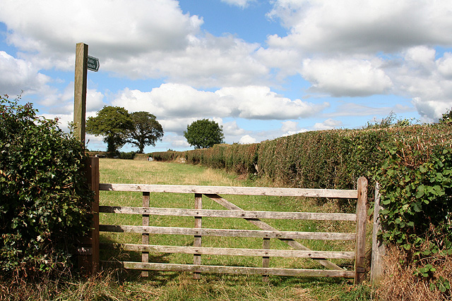
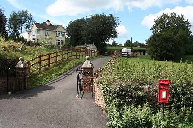
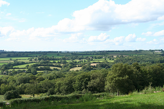
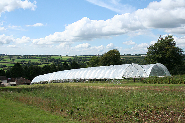
Images are sourced within 2km of 50.811871/-3.1105712 or Grid Reference ST2101. Thanks to Geograph Open Source API. All images are credited.


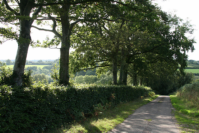
![Stockland: by Stockland Great Castle The lane runs east to Broadhayes Farm. Trees on the left indicate the remaining ditch and rampart of the Iron Age hillfort, Stockland Great Castle, which stands on a slope to the east of a ridgeway. Slingstones were found here in the mid nineteenth century. Hoskins [Devon] indicates this was possibly one of the more easterly hillforts of the Dumnonii tribe, facing the Dorset-based Durotriges to their east](https://s1.geograph.org.uk/photos/22/63/226373_f05dfdb3.jpg)


Jeremy's Wood is located at Grid Ref: ST2101 (Lat: 50.811871, Lng: -3.1105712)
Administrative County: Devon
District: East Devon
Police Authority: Devon and Cornwall
What 3 Words
///expiring.moves.surprised. Near Honiton, Devon
Nearby Locations
Related Wikis
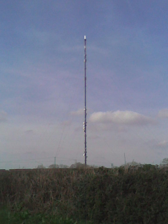
Stockland Hill transmitting station
The Stockland Hill transmitting station is a transmitting facility of FM Radio and UHF television located near Honiton, Devon, England. This transmitter...

Stockland Castle
Stockland Castle is the name given to two Iron Age hill forts on Stockland Hill close to Stockland in Devon, England. Stockland Great Castle (50.8178°N...

Cotleigh
Cotleigh is a village and civil parish near Honiton in Devon, England. It is surrounded clockwise from the north by the parishes of Upottery, Stockland...

Wilmington, Devon
Wilmington is a village between Axminster and Honiton in East Devon on the A35 road.The entire village is now in the parish of Widworthy, although this...
Nearby Amenities
Located within 500m of 50.811871,-3.1105712Have you been to Jeremy's Wood?
Leave your review of Jeremy's Wood below (or comments, questions and feedback).