Ash Copse
Wood, Forest in Devon East Devon
England
Ash Copse

Ash Copse is a charming woodland located in the county of Devon, England. Covering an area of approximately 10 hectares, it is a thriving example of a mixed deciduous forest. The copse is predominantly made up of ash trees, which give the woodland its name, but it also boasts a diverse range of other tree species including oak, birch, and hazel.
Situated in a picturesque rural setting, Ash Copse is a haven for nature enthusiasts and hikers alike. The woodland is known for its tranquil atmosphere and is often visited by locals and tourists seeking solace in its peaceful surroundings. The thick foliage and dense undergrowth provide a sanctuary for a variety of wildlife, including birds, squirrels, and deer.
A network of well-maintained footpaths crisscrosses the copse, allowing visitors to explore its beauty at their own pace. The trails lead through enchanting glades, alongside babbling brooks, and up gentle slopes, offering breathtaking views of the surrounding countryside. During spring, the forest floor is adorned with a colorful carpet of wildflowers, creating a stunning display.
Ash Copse is also home to a small nature reserve, managed by the local conservation group. Here, efforts are made to preserve and protect the copse's unique ecosystem, ensuring the continued survival of its flora and fauna. The reserve offers educational programs and guided walks, providing visitors with the opportunity to learn about the woodland's biodiversity and the importance of sustainable conservation practices.
Overall, Ash Copse is a remarkable woodland that showcases the natural beauty of Devon. Its diverse range of tree species, abundance of wildlife, and well-maintained trails make it a must-visit destination for anyone seeking an escape into nature.
If you have any feedback on the listing, please let us know in the comments section below.
Ash Copse Images
Images are sourced within 2km of 50.805465/-3.1184236 or Grid Reference ST2101. Thanks to Geograph Open Source API. All images are credited.


Ash Copse is located at Grid Ref: ST2101 (Lat: 50.805465, Lng: -3.1184236)
Administrative County: Devon
District: East Devon
Police Authority: Devon and Cornwall
What 3 Words
///worlds.workroom.zooms. Near Honiton, Devon
Nearby Locations
Related Wikis

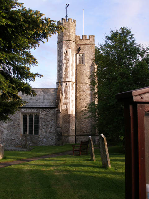
Cotleigh
Cotleigh is a village and civil parish near Honiton in Devon, England. It is surrounded clockwise from the north by the parishes of Upottery, Stockland...
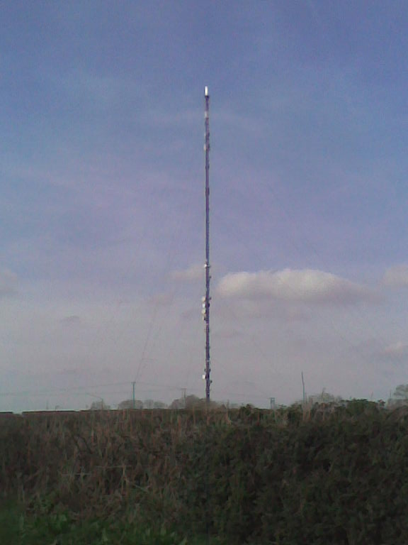
Stockland Hill transmitting station
The Stockland Hill transmitting station is a transmitting facility of FM Radio and UHF television located near Honiton, Devon, England. This transmitter...

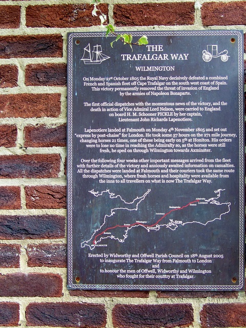
Wilmington, Devon
Wilmington is a village between Axminster and Honiton in East Devon on the A35 road.The entire village is now in the parish of Widworthy, although this...
Stockland Castle
Stockland Castle is the name given to two Iron Age hill forts on Stockland Hill close to Stockland in Devon, England. Stockland Great Castle (50.8178°N...

Widworthy
Widworthy is a village, parish and former manor in Devon, England. The village is 3 1/2 miles east of Honiton and the parish is surrounded clockwise from...
Offwell
Offwell is a village and civil parish in East Devon in the English county of Devon, approximately 2 miles south-east from the nearest town, Honiton. Offwell...

Monkton, Devon
Monkton is a village and civil parish on the River Otter, about 2 miles north east of Honiton railway station, in the East Devon district, in the county...

Dalwood
Dalwood is a village and county parish in the East Devon district of the English county of Devon. It is approximately 3 miles (4.8 km) away from the nearest...
Related Videos
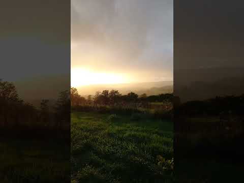
Sunshine on a rainy day ! ☀ ☔ #shortsvideo #shortsyoutube #shorts
the sun was setting and we had a little rain shower. stunning place.
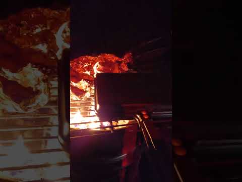
Campfire cooking....not for vegetarians! 🥩 🧅🔥 #shortsvideo #shortsyoutube #camping
cooking Steak and onions on the campfire with @TheRavenRoamer , it tasted absolutely amazing.
Nearby Amenities
Located within 500m of 50.805465,-3.1184236Have you been to Ash Copse?
Leave your review of Ash Copse below (or comments, questions and feedback).