Springs Wood

Wood, Forest in Lancashire South Lakeland

England

Springs Wood

Recent felling on Coops Wood has opened up a view of the bridge over the Duddon
Recent felling on Coops Wood has opened up a view of the bridge over the Duddon Credit: Mick Garratt

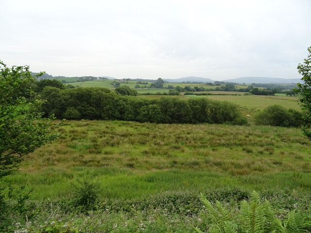
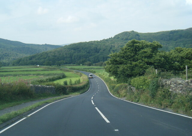
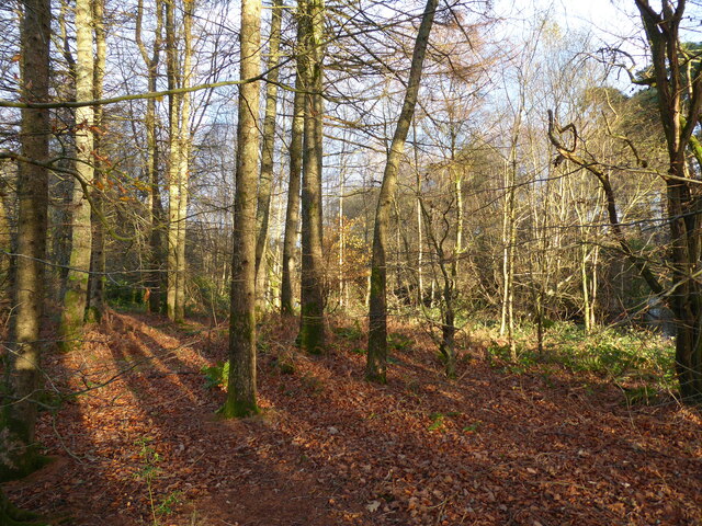
Springs Wood is a beautiful woodland located in the county of Lancashire, England. Covering an area of approximately 100 acres, it is a popular destination for nature lovers and outdoor enthusiasts. The wood is characterized by a diverse range of tree species, including oak, birch, beech, and sycamore, creating a rich and vibrant ecosystem.

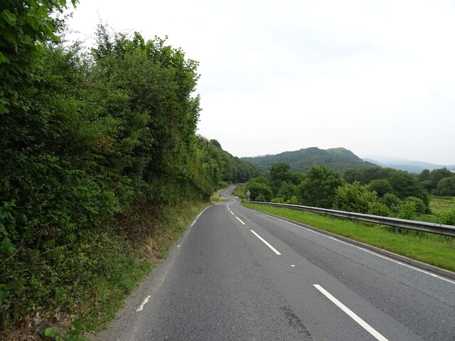
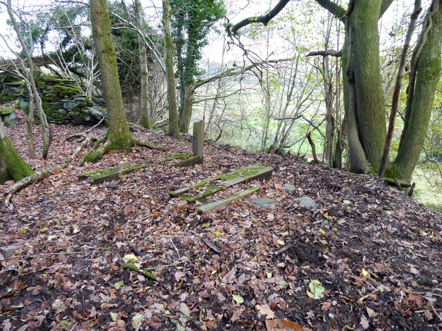
The wood is known for its breathtaking scenery, with winding paths that meander through the dense vegetation. Visitors can immerse themselves in the tranquility of the forest, enjoying the sights and sounds of nature. Wildlife is abundant in Springs Wood, with numerous species of birds, mammals, and insects calling it home. It is not uncommon to spot squirrels darting between the trees or catch a glimpse of a deer grazing in the distance.

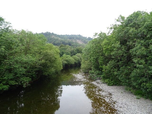
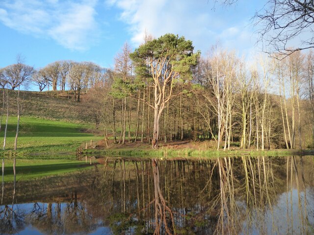
The wood also boasts a small stream that runs through it, providing a picturesque setting for a leisurely stroll or a peaceful picnic by the water's edge. The sound of the babbling brook adds to the overall serenity of the place.

Furthermore, Springs Wood offers various recreational activities for visitors. Hiking and cycling trails are available, allowing visitors to explore the wood at their own pace. The wood is also a popular spot for birdwatching, photography, and nature study.

Overall, Springs Wood in Lancashire provides a tranquil escape from the hustle and bustle of everyday life, offering a haven for nature enthusiasts and a chance to reconnect with the natural world.

If you have any feedback on the listing, please let us know in the comments section below.
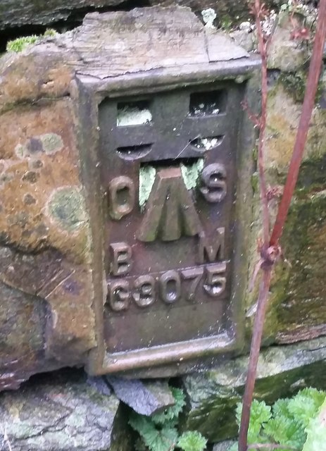
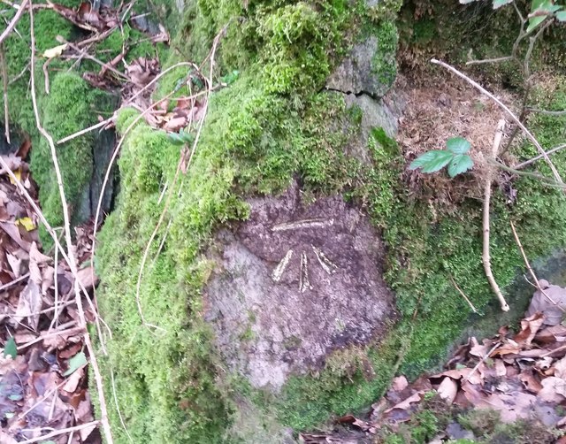
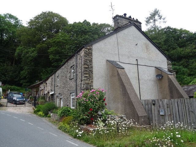
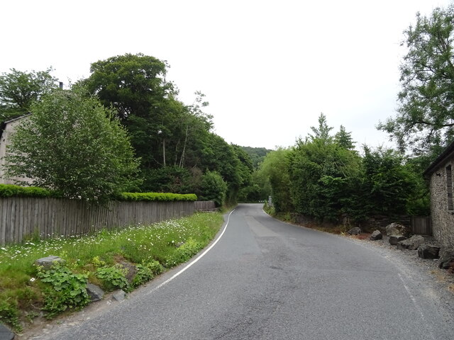
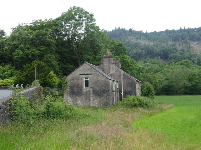
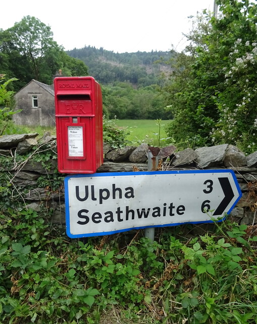
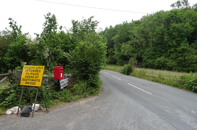
Springs Wood Images

Images are sourced within 2km of 54.285373/-3.2139295 or Grid Reference SD2188. Thanks to Geograph Open Source API. All images are credited.

Recent felling on Coops Wood has opened up a view of the bridge over the Duddon
Bluebells, Furnace Wood In deepest Duddon
Bluebells, Furnace Wood
In deepest Duddon
Duddon iron furnace (disused) A charcoal burning blast furnace dating from 1736. Isaac Wilkinson's cylinder bellows powered by water were first applied here. It is a Scheduled Ancient Monument but is temporarily closed to the public while structural issues are considered. There is a good view from the bridleway that goes past the site.
Duddon iron furnace (disused)
A charcoal burning blast furnace dating from 1736. Isaac Wilkinson's cylinder bellows powered by water were first applied here. It is a Scheduled Ancient Monument but is temporarily closed to the public while structural issues are considered. There is a good view from the bridleway that goes past the site.
Pivot type mark This Pivot style mark can be found on the SE parapet of the bridge.
Pivot type mark
This Pivot style mark can be found on the SE parapet of the bridge.
Ordnance Survey Flush Bracket (G3075) This OS Flush Bracket can be found on a roadside building at Duddon Bridge Farm. It marks a point 10.398m above mean sea level.
Ordnance Survey Flush Bracket (G3075)
This OS Flush Bracket can be found on a roadside building at Duddon Bridge Farm. It marks a point 10.398m above mean sea level.
Ordnance Survey Cut Mark This OS cut mark can be found on a rock face west side of the road. It marks a point 31.425m above mean sea level.
Ordnance Survey Cut Mark
This OS cut mark can be found on a rock face west side of the road. It marks a point 31.425m above mean sea level.
Rough grazing near Holme Farm East of the A595.
Rough grazing near Holme Farm
East of the A595.
A595 towards Broughton in Furness
Cottages, Duddon Bridge
A595, Duddon Bridge Towards Broughton in Furness.
A595, Duddon Bridge
Towards Broughton in Furness.
River Duddon from Duddon Bridge
Duddon Bridge Cottage, Duddon Bridge
Elizabeth II postbox on the A595, Duddon Bridge Postbox No. LA20 68.

See <a href="https://www.geograph.org.uk/photo/6899751">SD1988 : Smithy Lane, Duddon Bridge</a> for context.
Elizabeth II postbox on the A595, Duddon Bridge
Postbox No. LA20 68. See SD1988 : Smithy Lane, Duddon Bridge for context.
Smithy Lane, Duddon Bridge Showing position of Postbox No. LA20 68.

See <a href="https://www.geograph.org.uk/photo/6899749">SD1988 : Elizabeth II postbox on the A595, Duddon Bridge</a> for postbox.
Smithy Lane, Duddon Bridge
Showing position of Postbox No. LA20 68. See SD1988 : Elizabeth II postbox on the A595, Duddon Bridge for postbox.
A595 north west of High Cross
Remains of wooden ballast bin Only a few rotten pieces of wood remain from this ballast bin beside the former Furness Railway Coniston Branch near Moss Side.  Built from old wooden railway sleepers it is difficult to place an age on this ballast bin, but it is possible it pre-dates the formation of the London Midland and Scottish Railway in 1923 who later introduced concrete bins (see photograph <a href="https://www.geograph.org.uk/photo/6797992">NY2924 : LMS Standard Concrete Ballast Bin</a>).
Positioned approximately every mile, more frequently on curved track, ballast bins were used to store small stone chippings which were used by the railway Lengthsmen to pack and adjust the railway sleepers. Using only a jack and a shovel, an experienced Lengthsman could judge exactly the right quantity of chippings to use to obtain a perfect ‘top’ to the rail and they often took great pride in the quality of their work.
The Coniston Branch closed to passengers in October 1958 and to all traffic with effect from the 30 April 1962 although the last train had run during the preceding week.  The track bed in front of the ballast bin is deep in mud and trampled by cows.
Remains of wooden ballast bin
Only a few rotten pieces of wood remain from this ballast bin beside the former Furness Railway Coniston Branch near Moss Side. Built from old wooden railway sleepers it is difficult to place an age on this ballast bin, but it is possible it pre-dates the formation of the London Midland and Scottish Railway in 1923 who later introduced concrete bins (see photograph NY2924 : LMS Standard Concrete Ballast Bin). Positioned approximately every mile, more frequently on curved track, ballast bins were used to store small stone chippings which were used by the railway Lengthsmen to pack and adjust the railway sleepers. Using only a jack and a shovel, an experienced Lengthsman could judge exactly the right quantity of chippings to use to obtain a perfect ‘top’ to the rail and they often took great pride in the quality of their work. The Coniston Branch closed to passengers in October 1958 and to all traffic with effect from the 30 April 1962 although the last train had run during the preceding week. The track bed in front of the ballast bin is deep in mud and trampled by cows.
Woodland in East Park This woodland is in the grounds of the Broughton Tower Estate.
An ornamental lake can be glimpsed through the trees in the right background.
Woodland in East Park
This woodland is in the grounds of the Broughton Tower Estate. An ornamental lake can be glimpsed through the trees in the right background.
Ornamental lake, East Park This is the southernmost of two ornamental lakes in the East Park of the Broughton Tower Estate.  Although on private land the public has access from the public bridleway on the track bed of the former railway from Foxfield to Coniston which is adjacent.  There is also a public footpath crossing the narrow isthmus between the two lakes.
Ornamental lake, East Park
This is the southernmost of two ornamental lakes in the East Park of the Broughton Tower Estate. Although on private land the public has access from the public bridleway on the track bed of the former railway from Foxfield to Coniston which is adjacent. There is also a public footpath crossing the narrow isthmus between the two lakes.
Show me another place!

Springs Wood is located at Grid Ref: SD2188 (Lat: 54.285373, Lng: -3.2139295)

Administrative County: Cumbria

District: South Lakeland

Police Authority: Cumbria

What 3 Words

///badminton.stumble.scar. Near Millom, Cumbria

Related Wikis

Broughton-in-Furness

Broughton in Furness is a market town in the civil parish of Broughton West in the Westmorland and Furness district of Cumbria, England. It had a population...

St Mary Magdalene's Church, Broughton-in-Furness

St Mary Magdalene's Church is in Broughton-in-Furness, Cumbria, England. It is an active Anglican parish church in the deanery of Furness, the archdeaconry...

Broughton-in-Furness railway station

Broughton-in-Furness railway station served the market town of Broughton-in-Furness, in Lancashire, England (now in Cumbria). It was on the branch line...

Duddon Bridge

Duddon Bridge is a hamlet in Cumbria, England. == References ==

Nearby Amenities

Located within 500m of 54.285373,-3.2139295
Barrier: stile
Lat/Long: 54.2842911/-3.2086193
Parking
P for Millom & Broughton Show
Fee: no
Park Ride: no
Parking: surface
Supervised: no
Surface: grass
Lat/Long: 54.2814362/-3.214814
Give Way
Direction: forward
Lat/Long: 54.2827552/-3.2115142
Power: pole
Lat/Long: 54.2853848/-3.2111242
Power: pole
Lat/Long: 54.2849297/-3.2097196
Power: pole
Lat/Long: 54.2859922/-3.2088498
Power: pole
Lat/Long: 54.2870397/-3.2080815
The data included in this document is from www.openstreetmap.org. The data is made available under ODbL.

Have you been to Springs Wood?

Leave your review of Springs Wood below (or comments, questions and feedback).