Hang Bank Plantation
Wood, Forest in Lancashire South Lakeland
England
Hang Bank Plantation

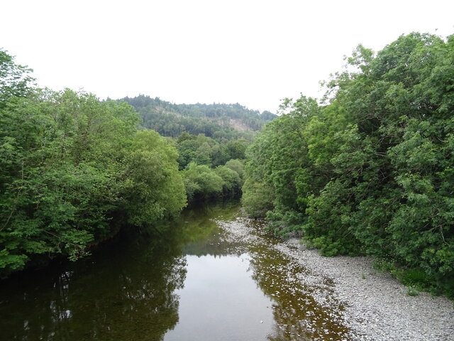
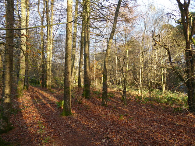
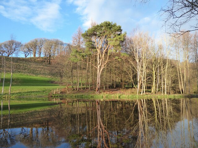
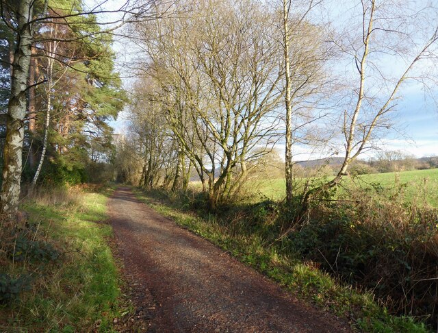
Hang Bank Plantation is a picturesque wood located in the county of Lancashire, England. Situated in the heart of the Forest of Bowland, it covers an expansive area, providing a haven for wildlife and nature enthusiasts alike. The plantation is renowned for its diverse range of tree species, including oak, birch, and beech, which create a vibrant and lush canopy overhead.
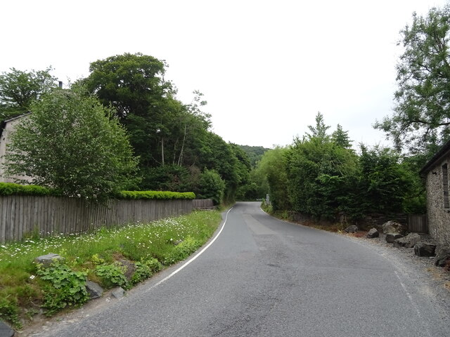
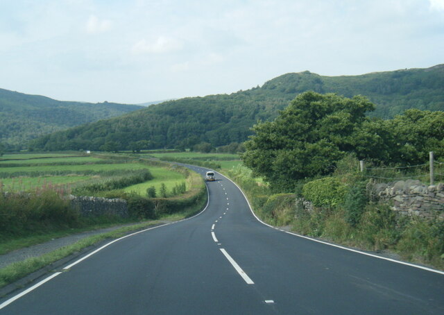
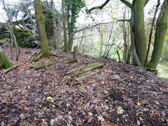
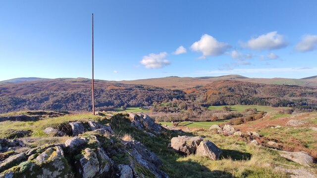
The woodland is characterized by its undulating terrain, with gentle slopes and meandering paths that wind through the trees. This makes it a popular destination for walkers and hikers, who can enjoy the tranquil surroundings and stunning views of the surrounding countryside. The plantation is also home to a variety of wildlife, such as deer, foxes, and numerous species of birds, making it a haven for nature lovers and birdwatchers.
Hang Bank Plantation offers a range of recreational activities for visitors. There are designated picnic areas where families can enjoy a leisurely lunch amidst the peaceful surroundings. Additionally, the woodland is equipped with a network of well-maintained trails, catering to both casual strollers and more experienced hikers. These trails provide an opportunity to explore the plantation's natural beauty and discover hidden gems along the way.
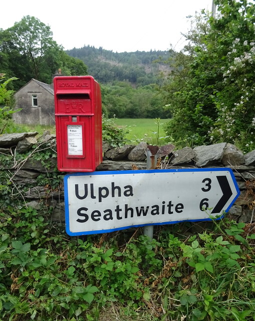
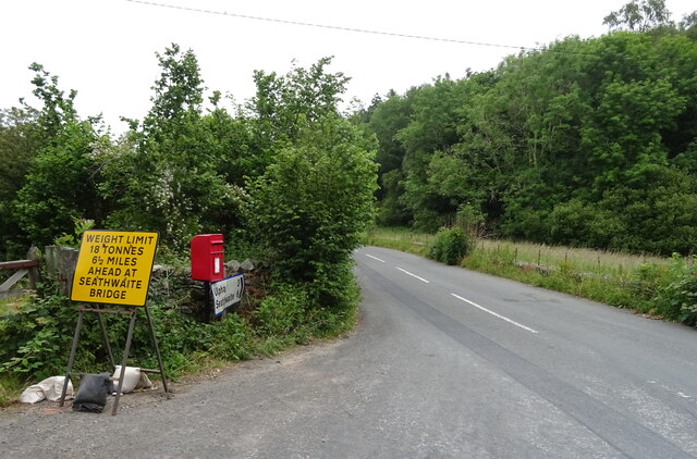
The plantation is easily accessible, located just a short distance from the nearby village of Slaidburn. Visitors can enjoy the convenience of ample parking facilities and well-signposted entrances. Whether it's a leisurely stroll, a picnic with loved ones, or a chance to immerse oneself in nature, Hang Bank Plantation offers a captivating experience for all who visit.
If you have any feedback on the listing, please let us know in the comments section below.
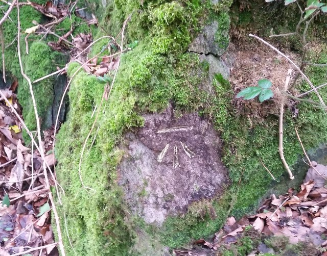
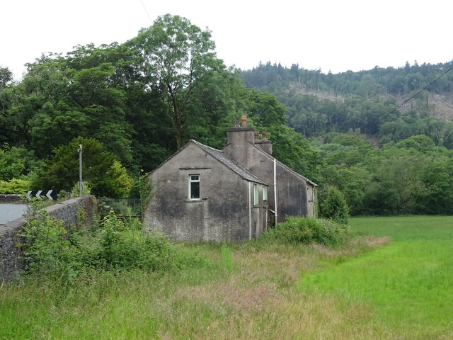
Hang Bank Plantation Images
Images are sourced within 2km of 54.286674/-3.2042744 or Grid Reference SD2188. Thanks to Geograph Open Source API. All images are credited.

Hang Bank Plantation is located at Grid Ref: SD2188 (Lat: 54.286674, Lng: -3.2042744)
Administrative County: Cumbria
District: South Lakeland
Police Authority: Cumbria
What 3 Words
///stowing.likes.unzips. Near Millom, Cumbria
Nearby Locations
Related Wikis

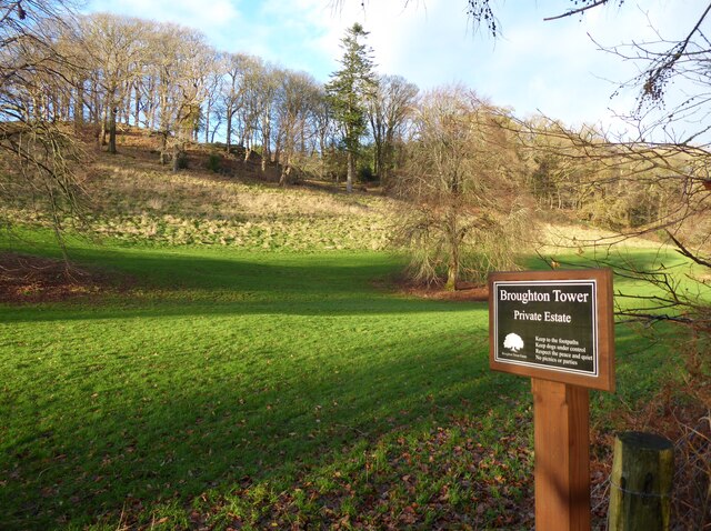
Broughton-in-Furness
Broughton in Furness is a market town in the civil parish of Broughton West in the Westmorland and Furness district of Cumbria, England. It had a population...

Broughton-in-Furness railway station
Broughton-in-Furness railway station served the market town of Broughton-in-Furness, in Lancashire, England (now in Cumbria). It was on the branch line...

St Mary Magdalene's Church, Broughton-in-Furness
St Mary Magdalene's Church is in Broughton-in-Furness, Cumbria, England. It is an active Anglican parish church in the deanery of Furness, the archdeaconry...

Broughton Mills
Broughton Mills is a village in Cumbria, England, located 3.5 kilometres from the larger town of Broughton-in-furness. The village consists of about 40...
Nearby Amenities
Located within 500m of 54.286674,-3.2042744Have you been to Hang Bank Plantation?
Leave your review of Hang Bank Plantation below (or comments, questions and feedback).