Hamberhayne Copse

Wood, Forest in Devon East Devon

England

Hamberhayne Copse

Signpost at Stubbing Cross
Signpost at Stubbing Cross Credit: David Smith

The requested URL returned error: 429 Too Many Requests

If you have any feedback on the listing, please let us know in the comments section below.

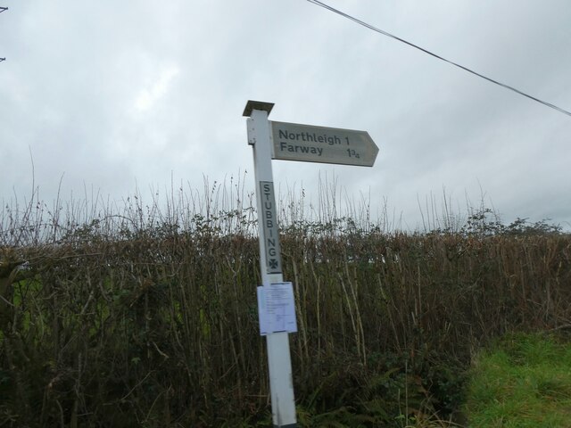
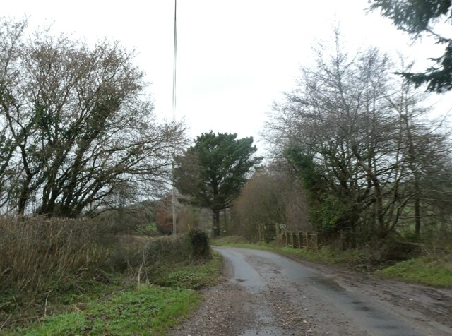
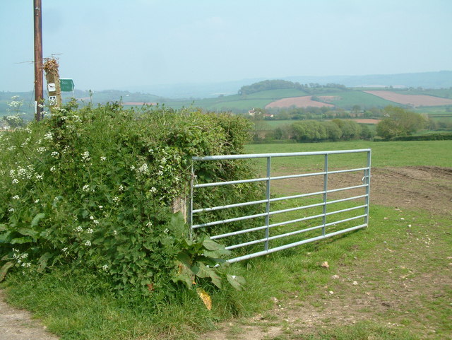
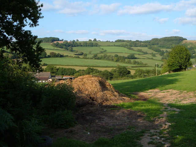
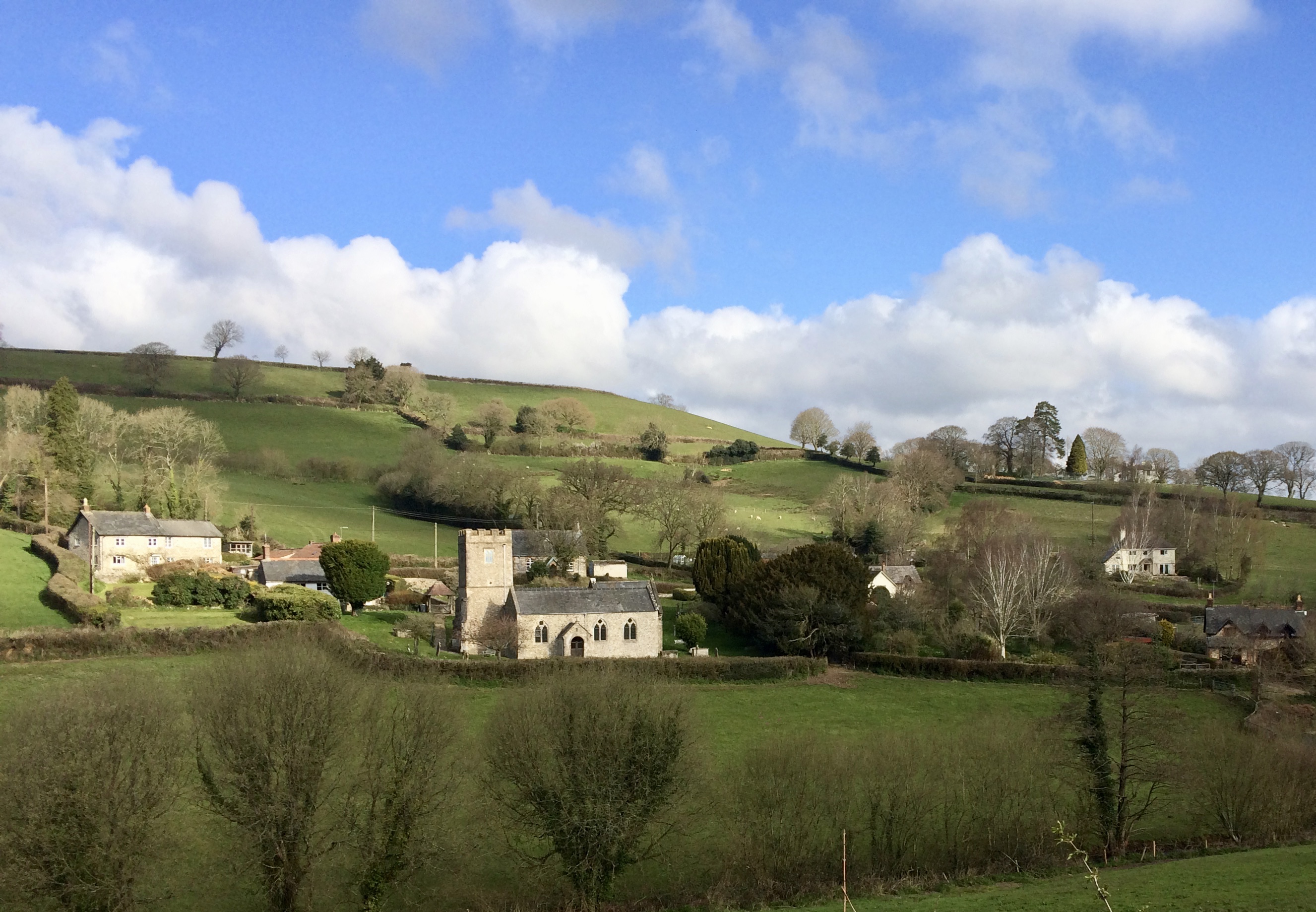
Hamberhayne Copse Images

Images are sourced within 2km of 50.758993/-3.1096307 or Grid Reference SY2196. Thanks to Geograph Open Source API. All images are credited.

Signpost at Stubbing Cross
Ford and bridge on Suddon's Lane There is a small footbridge on the right for when the stream flows over the road
Ford and bridge on Suddon's Lane
There is a small footbridge on the right for when the stream flows over the road
Downhaye, NW of Colyton, Devon View across farmland and the Axe Valley.
Downhaye, NW of Colyton, Devon
View across farmland and the Axe Valley.
Kissing Gate and Public Footpath This photo was taken by the bridge over the River Col near Road Pitt Farm.
Kissing Gate and Public Footpath
This photo was taken by the bridge over the River Col near Road Pitt Farm.
Farwood Barton, Northleigh, Devon View across farmland towards Farwood Barton.
Farwood Barton, Northleigh, Devon
View across farmland towards Farwood Barton.
View near Smallicombe Farm The farm's buildings are on the left. Behind is the valley of the Offwell Brook. The wooded hill on the right is Suttonthorn Covert.
View near Smallicombe Farm
The farm's buildings are on the left. Behind is the valley of the Offwell Brook. The wooded hill on the right is Suttonthorn Covert.
Umborne Valley View down the Umborne valley.
Umborne Valley
View down the Umborne valley.
Colyton: Higher Watchcombe Looking north east. Outbuildings here have been converted to residential accommodation
Colyton: Higher Watchcombe
Looking north east. Outbuildings here have been converted to residential accommodation
Widworthy: Homebush Cross Horse and rider pass the turning to Watchcombe. Looking west-north-west
Widworthy: Homebush Cross
Horse and rider pass the turning to Watchcombe. Looking west-north-west
Widworthy: by Homebush Cross At the edge of Home Bush wood, looking south east
Widworthy: by Homebush Cross
At the edge of Home Bush wood, looking south east
Peering out from Downhayne Brake View out over the Umborne Valley towards Colcombe Wood with the Axe Valley beyond
Peering out from Downhayne Brake
View out over the Umborne Valley towards Colcombe Wood with the Axe Valley beyond
Farmland View The Cottages at Three Sycamores Cross with Colcombe Wood in the background
Farmland View
The Cottages at Three Sycamores Cross with Colcombe Wood in the background
At Baker's Gate A ridge lane twists and turns past Baker's Gate on its way from Honiton to Farwood Cross.
At Baker's Gate
A ridge lane twists and turns past Baker's Gate on its way from Honiton to Farwood Cross.
Bluebells near Carswells Moor These drifts are in a small wood that runs up a valley beside the green lane from Lawdeshayne to Crookham Cross.
Bluebells near Carswells Moor
These drifts are in a small wood that runs up a valley beside the green lane from Lawdeshayne to Crookham Cross.
Cottage near Rockerhayne The lane from Rockerhayne Cross down to the Offwell Brook passes this C17 cottage, which is described at <span class="nowrap"><a title="http://list.english-heritage.org.uk/resultsingle.aspx?uid=1098536&searchtype=mapsearch" rel="nofollow ugc noopener" href="http://list.english-heritage.org.uk/resultsingle.aspx?uid=1098536&searchtype=mapsearch">Link</a><img style="margin-left:2px;" alt="External link" title="External link - shift click to open in new window" src="https://s1.geograph.org.uk/img/external.png" width="10" height="10"/></span> .
Cottage near Rockerhayne
The lane from Rockerhayne Cross down to the Offwell Brook passes this C17 cottage, which is described at LinkExternal link .
Baker's Gate A green lane from the Offwell Brook valley drops to meet the lane shown in <a href="https://www.geograph.org.uk/photo/422270">SY2096 : At Baker's Gate</a>. The village below is Northleigh.
Baker's Gate
A green lane from the Offwell Brook valley drops to meet the lane shown in SY2096 : At Baker's Gate. The village below is Northleigh.
Field in the Coly valley Looking down the valley from the Bonehayne and Purlbridge Road. Belts of woodland hide the river.
Field in the Coly valley
Looking down the valley from the Bonehayne and Purlbridge Road. Belts of woodland hide the river.
Bonehayne A large farm in the Coly valley, seen from the edge of Bonehayne Covert. Ball Hill rises behind.
Bonehayne
A large farm in the Coly valley, seen from the edge of Bonehayne Covert. Ball Hill rises behind.
Show me another place!

Hamberhayne Copse is located at Grid Ref: SY2196 (Lat: 50.758993, Lng: -3.1096307)

Administrative County: Devon

District: East Devon

Police Authority: Devon and Cornwall

What 3 Words

///eyelashes.remove.donor. Near Colyton, Devon

Nearby Locations

Hamberhayne Copse

Related Wikis

Northleigh

Northleigh is a village and civil parish in the East Devon district of Devon, England. Its nearest town is Colyton, which lies approximately 3.5 miles...

Bolshayne Fen

Bolshayne Fen (grid reference SY222938) is a wetland in southeast Devon, England. It has an area of 1.62 hectares. The site was designated as a Site of...

Southleigh

Southleigh is a village and civil parish in the East Devon district of Devon, England. Its nearest town is Colyton, which lies approximately 3 miles (4...

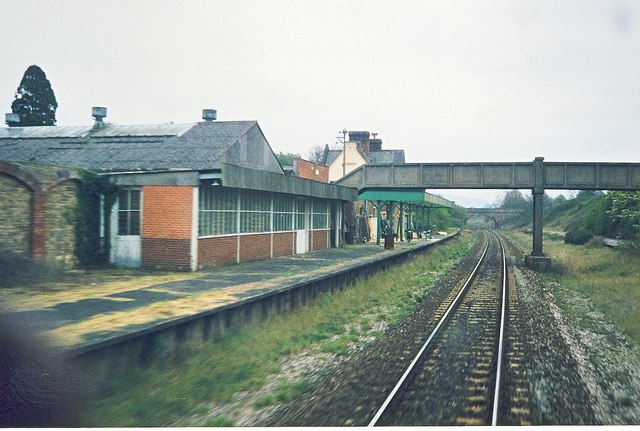
Seaton Junction railway station

Seaton Junction is a closed railway station on the West of England Main Line from London Waterloo to Exeter. It was situated 3 miles west of Axminster...

Nearby Amenities

Located within 500m of 50.758993,-3.1096307
The data included in this document is from www.openstreetmap.org. The data is made available under ODbL.

Have you been to Hamberhayne Copse?

Leave your review of Hamberhayne Copse below (or comments, questions and feedback).