The Thorns
Wood, Forest in Berwickshire
Scotland
The Thorns
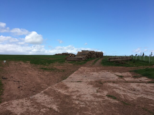
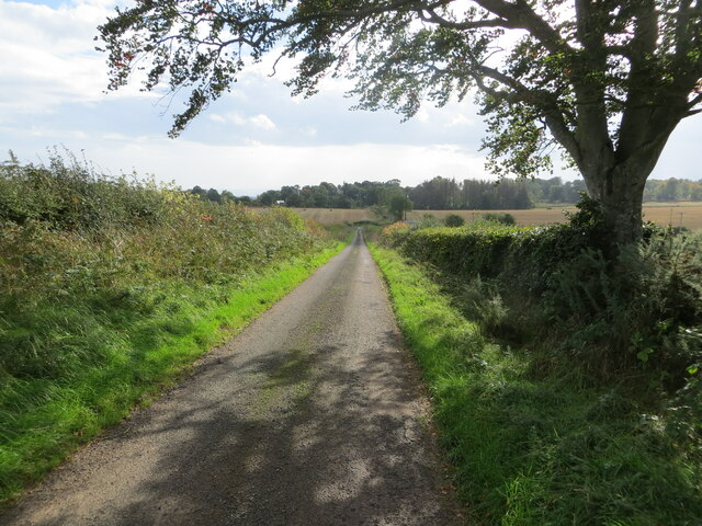
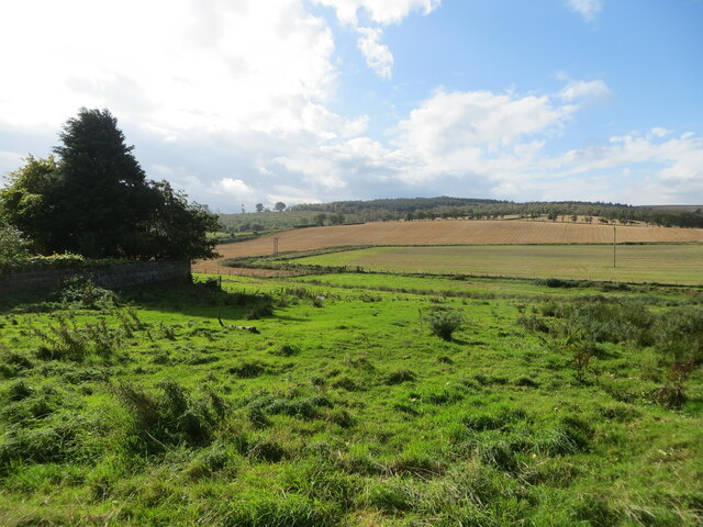
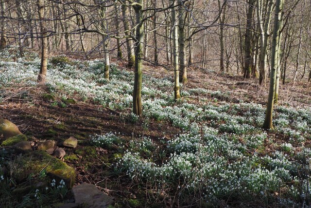
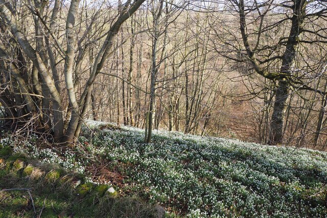
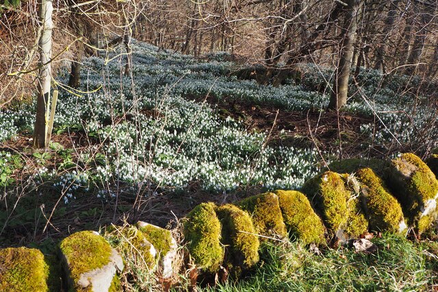
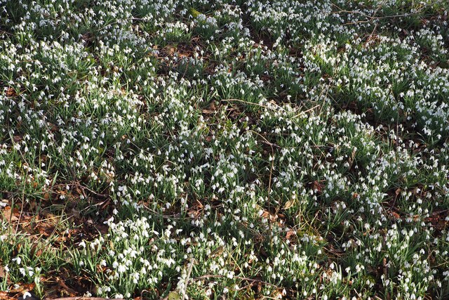
The Thorns is a picturesque woodland area located in Berwickshire, Scotland. Covering an expansive area, this forest is known for its dense vegetation and diverse array of flora and fauna. The Thorns is situated in a secluded location, offering visitors a tranquil and peaceful environment to explore.
The forest is home to a wide variety of tree species, including oak, beech, and pine. The dense canopy created by these trees provides a cool and shaded atmosphere, making it an ideal spot for nature enthusiasts and hikers. The forest floor is rich in moss and ferns, creating a lush and vibrant undergrowth.
The Thorns is also known for its diverse wildlife population. Visitors may catch a glimpse of red squirrels, deer, and a variety of bird species such as woodpeckers and owls. The forest is a haven for birdwatchers, offering a chance to observe these creatures in their natural habitat.
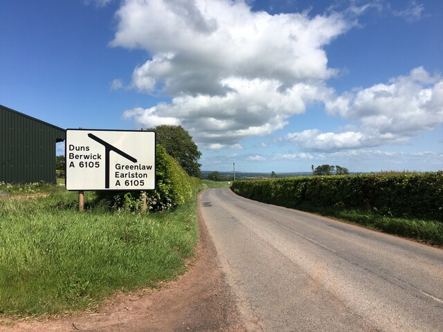
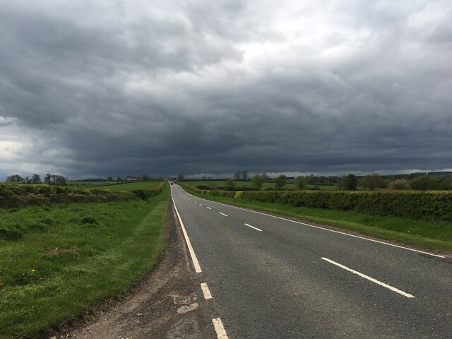
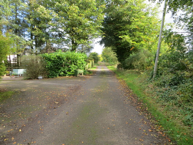
There are numerous walking trails and paths that wind through The Thorns, making it accessible for both casual strollers and avid hikers. These trails offer panoramic views of the surrounding countryside, providing an opportunity to appreciate the natural beauty of Berwickshire.
Overall, The Thorns is a captivating woodland area that offers a serene escape from the hustle and bustle of everyday life. Whether it's a leisurely stroll or an adventurous hike, this forest provides a memorable experience for nature lovers and outdoor enthusiasts alike.
If you have any feedback on the listing, please let us know in the comments section below.
The Thorns Images
Images are sourced within 2km of 55.744585/-2.4101035 or Grid Reference NT7450. Thanks to Geograph Open Source API. All images are credited.
The Thorns is located at Grid Ref: NT7450 (Lat: 55.744585, Lng: -2.4101035)
Unitary Authority: The Scottish Borders
Police Authority: The Lothians and Scottish Borders
What 3 Words
///landowner.cracker.broads. Near Duns, Scottish Borders
Nearby Locations
Related Wikis

Polwarth, Scottish Borders
Polwarth (Scots: Polart) is a village and parish in the Scottish Borders area of Scotland. It is located at grid reference NT745502, between Greenlaw and...

Polwarth Castle
Polwarth Castle was a castle, located near Polwarth, Scottish Borders in Scotland. == History == Held by the Polwarth family it passed by marriage of Elizabeth...
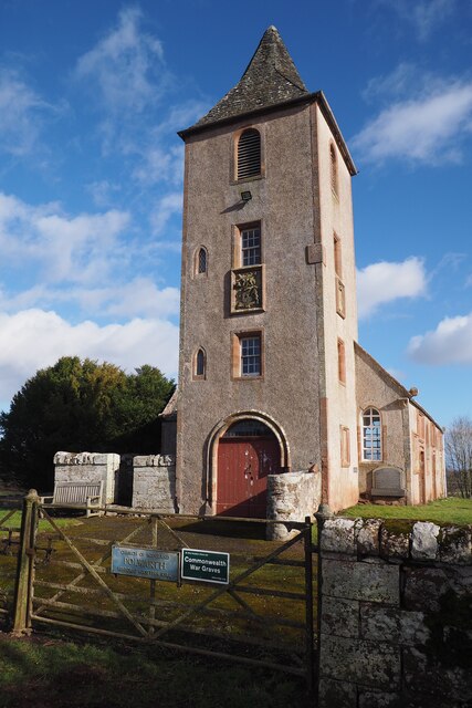
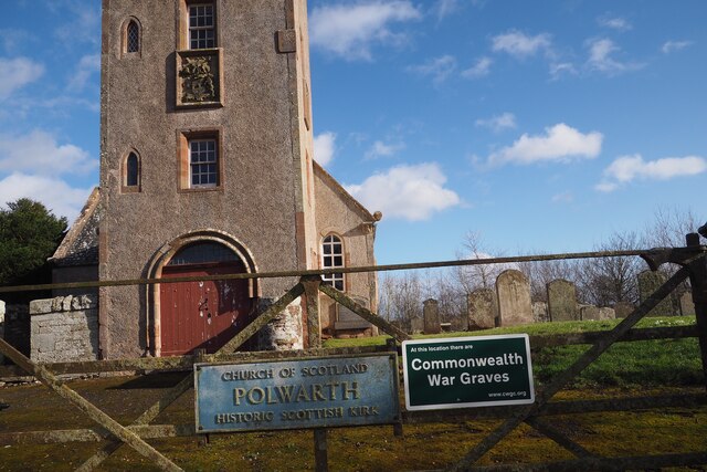
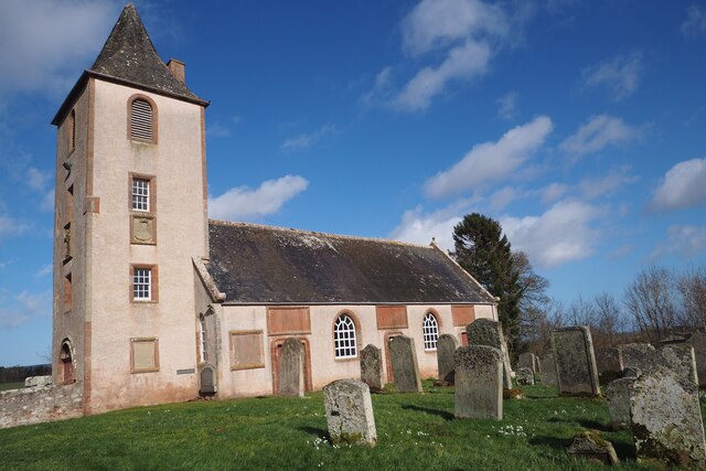
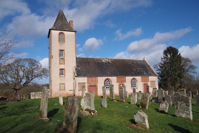
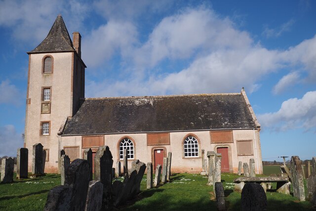
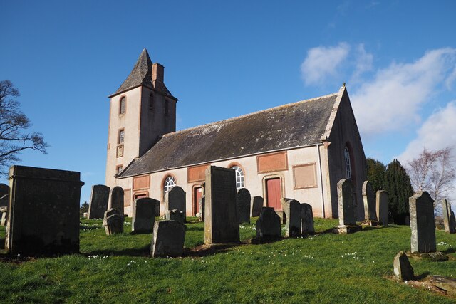
Polwarth Parish Church
Polwarth Parish Church was a member church (Scots: kirk) of the Church of Scotland before closing in 2004. It is situated atop a mound off a minor...
Marchmont railway station
Marchmont railway station served the estate of Marchmont, Scottish Borders, Scotland from 1863 to 1948 on the North British Railway. == History == The...
Related Videos

Border Tours
This cycle tour takes me down to the stately 'Paxton House' on the Scottish/ English border then through the surrounding farm ...


Thomas the Rhymer: A Scottish Faerie Tale to Soothe the Soul
Join us on The Sleepy Scotsman as we bring you one of the most beloved and enduring fairy tales from Scotland's rich cultural ...
Nearby Amenities
Located within 500m of 55.744585,-2.4101035Have you been to The Thorns?
Leave your review of The Thorns below (or comments, questions and feedback).