Backburn Plantation
Wood, Forest in Berwickshire
Scotland
Backburn Plantation
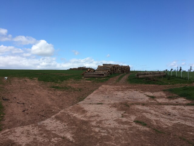
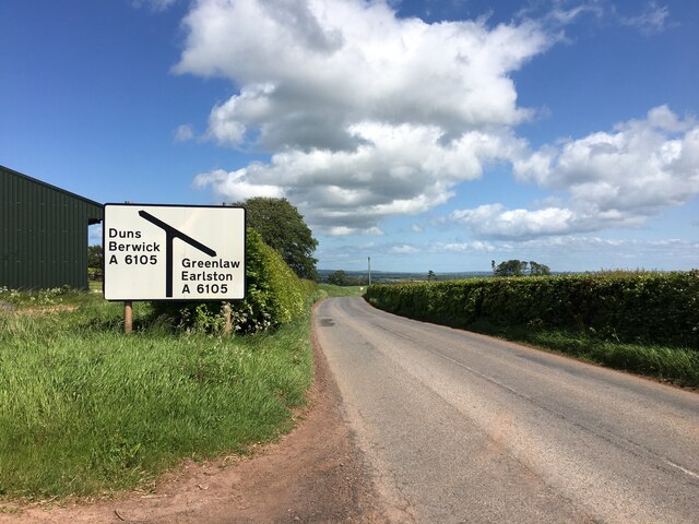
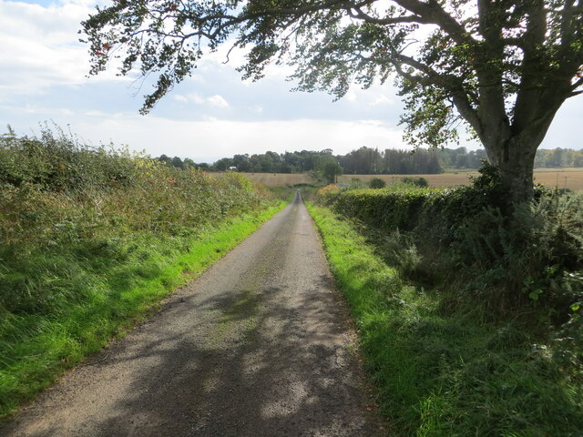
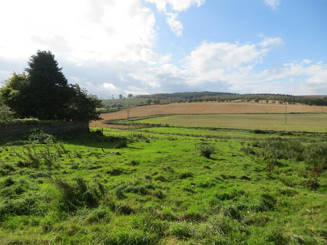
Backburn Plantation is a picturesque woodland located in the county of Berwickshire, Scotland. Spanning over a vast area, it is well-known for its dense forests and rich biodiversity. The plantation is situated in close proximity to the idyllic village of Chirnside, offering visitors a tranquil escape from the bustling city life.
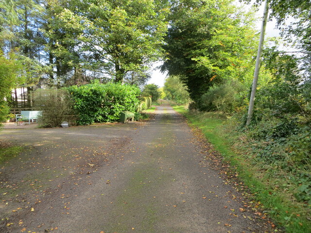
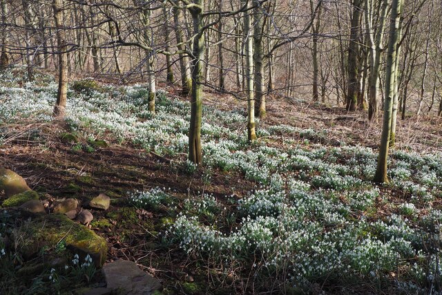
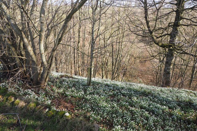
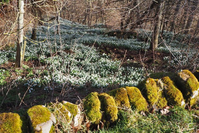
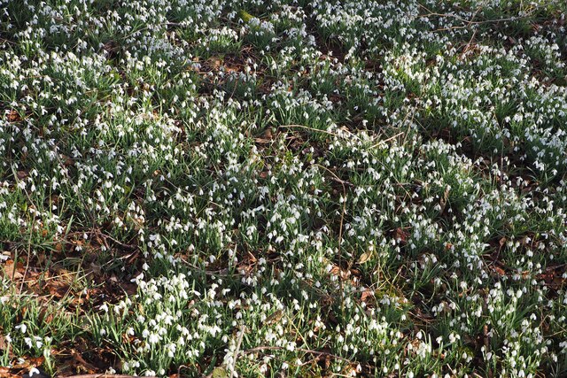
The woodland of Backburn Plantation consists mainly of native tree species such as oak, birch, and beech, which create a stunning canopy of greenery. The well-maintained walking paths meander through the plantation, providing visitors with an opportunity to immerse themselves in the beauty of nature while enjoying a leisurely stroll.
Wildlife enthusiasts will be delighted to discover that Backburn Plantation is home to a diverse range of animals and birds. Deer, foxes, and rabbits can often be spotted amongst the trees, while various bird species, including woodpeckers and owls, fill the air with their melodic songs.
The plantation offers more than just natural beauty; it also serves as an important recreational area. Visitors can engage in a variety of activities such as picnicking, jogging, and cycling along the designated trails. Additionally, there are designated spots for camping and barbecuing, allowing families and friends to spend quality time together amidst the serene surroundings.
Backburn Plantation is not only a haven for nature enthusiasts but also a valuable ecological asset. The woodland plays a crucial role in carbon sequestration, helping mitigate the effects of climate change. Moreover, it serves as a habitat for numerous plant and animal species, contributing to the preservation of biodiversity in the region.
In conclusion, Backburn Plantation is a remarkable woodland in Berwickshire, offering visitors a chance to connect with nature and enjoy the peaceful ambiance of a well-preserved forest.
If you have any feedback on the listing, please let us know in the comments section below.
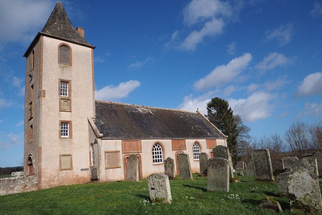
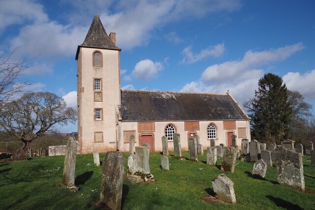
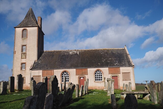
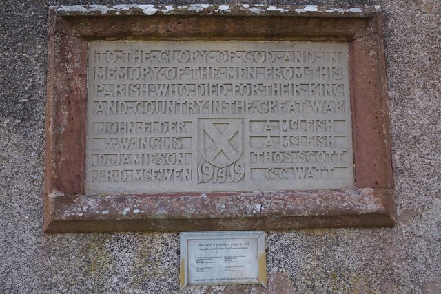
Backburn Plantation Images
Images are sourced within 2km of 55.748506/-2.406194 or Grid Reference NT7450. Thanks to Geograph Open Source API. All images are credited.
Backburn Plantation is located at Grid Ref: NT7450 (Lat: 55.748506, Lng: -2.406194)
Unitary Authority: The Scottish Borders
Police Authority: The Lothians and Scottish Borders
What 3 Words
///either.landlady.enable. Near Duns, Scottish Borders
Nearby Locations
Related Wikis

Polwarth, Scottish Borders
Polwarth (Scots: Polart) is a village and parish in the Scottish Borders area of Scotland. It is located at grid reference NT745502, between Greenlaw and...

Polwarth Castle
Polwarth Castle was a castle, located near Polwarth, Scottish Borders in Scotland. == History == Held by the Polwarth family it passed by marriage of Elizabeth...
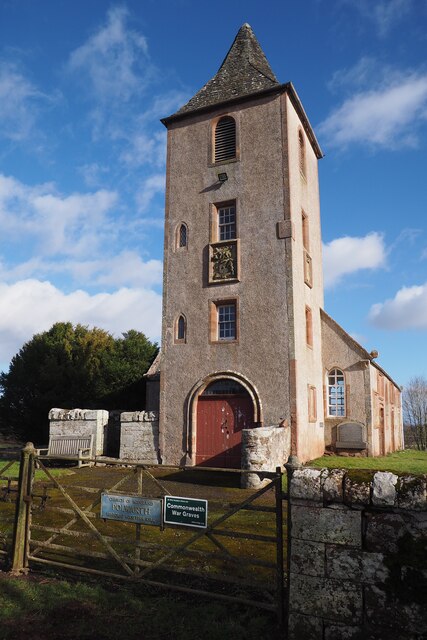
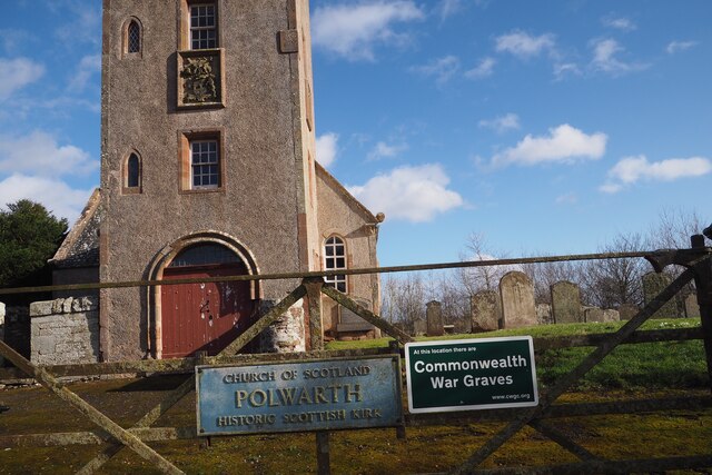
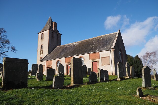
Polwarth Parish Church
Polwarth Parish Church was a member church (Scots: kirk) of the Church of Scotland before closing in 2004. It is situated atop a mound off a minor...
Marchmont railway station
Marchmont railway station served the estate of Marchmont, Scottish Borders, Scotland from 1863 to 1948 on the North British Railway. == History == The...
Nearby Amenities
Located within 500m of 55.748506,-2.406194Have you been to Backburn Plantation?
Leave your review of Backburn Plantation below (or comments, questions and feedback).