The Green
Downs, Moorland in Berwickshire
Scotland
The Green
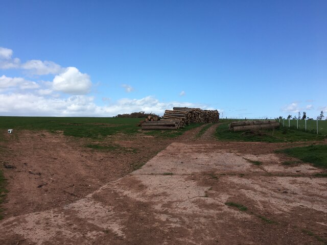
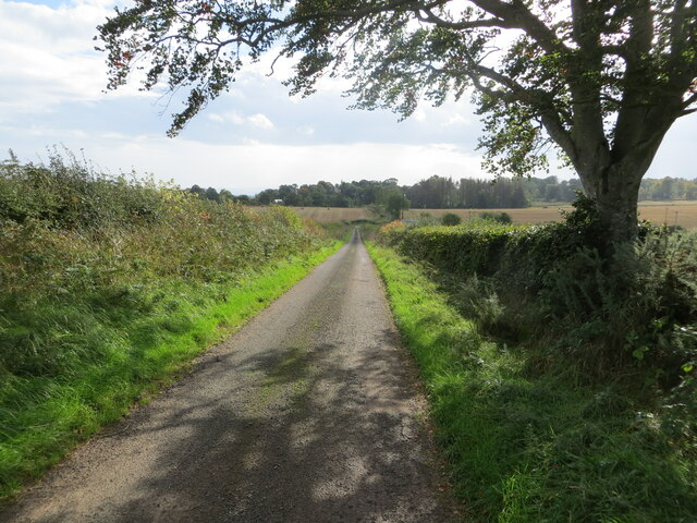
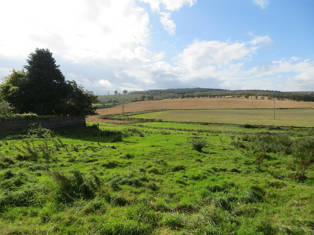
The Green, located in Berwickshire, is a vast expanse of downs and moorland that stretches across a sprawling landscape. It is a region known for its picturesque beauty and breathtaking views, attracting nature enthusiasts and outdoor adventurers alike.
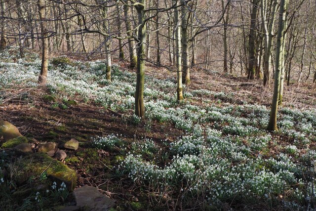
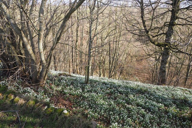
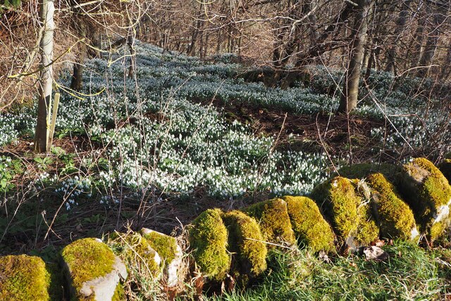
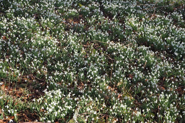
The Green is characterized by its rolling hills, dotted with vibrant green grasses and wildflowers. The downs, with their gentle slopes, create a serene and peaceful atmosphere, offering a perfect escape from the hustle and bustle of city life. The moorland, on the other hand, presents a more rugged and untamed terrain, with heather-covered hills and rocky outcrops.
The area is home to a diverse range of flora and fauna, making it an ideal spot for wildlife enthusiasts. Birdwatchers can delight in the sight of various species, including skylarks, curlews, and lapwings, soaring through the clear blue skies. The moorland is also home to small mammals like hares, rabbits, and voles, as well as reptiles such as adders and lizards.
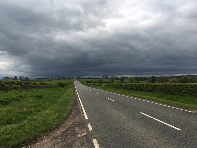
For those seeking outdoor activities, The Green offers ample opportunities for walking, hiking, and cycling. There are numerous trails and paths that wind their way through the downs and moorland, providing stunning views of the surrounding countryside. The region is also popular for picnicking and camping, allowing visitors to immerse themselves in the natural beauty of the area.
Overall, The Green in Berwickshire is a captivating landscape that showcases the beauty of the Scottish countryside. Its downs and moorland provide a tranquil haven for nature lovers, offering a chance to reconnect with the great outdoors and appreciate the wonders of the natural world.
If you have any feedback on the listing, please let us know in the comments section below.
The Green Images
Images are sourced within 2km of 55.745065/-2.4089776 or Grid Reference NT7450. Thanks to Geograph Open Source API. All images are credited.
The Green is located at Grid Ref: NT7450 (Lat: 55.745065, Lng: -2.4089776)
Unitary Authority: The Scottish Borders
Police Authority: The Lothians and Scottish Borders
What 3 Words
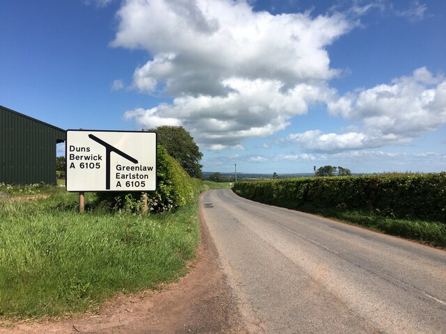
///scarred.patrolled.deflated. Near Duns, Scottish Borders
Nearby Locations
Related Wikis

Polwarth, Scottish Borders
Polwarth (Scots: Polart) is a village and parish in the Scottish Borders area of Scotland. It is located at grid reference NT745502, between Greenlaw and...

Polwarth Castle
Polwarth Castle was a castle, located near Polwarth, Scottish Borders in Scotland. == History == Held by the Polwarth family it passed by marriage of Elizabeth...
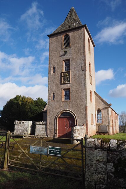
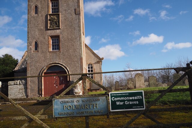
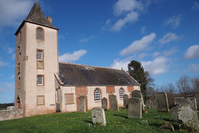
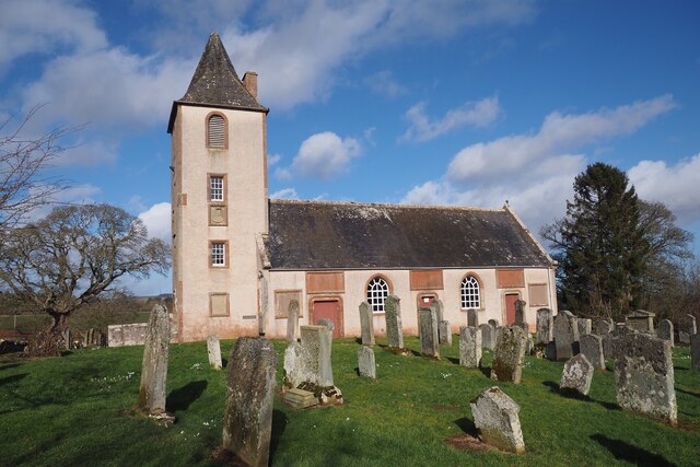
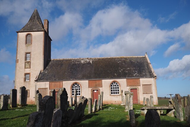
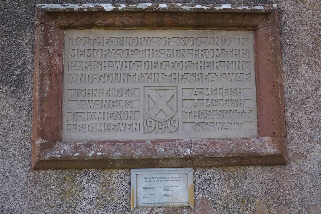
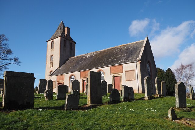
Polwarth Parish Church
Polwarth Parish Church was a member church (Scots: kirk) of the Church of Scotland before closing in 2004. It is situated atop a mound off a minor...
Marchmont railway station
Marchmont railway station served the estate of Marchmont, Scottish Borders, Scotland from 1863 to 1948 on the North British Railway. == History == The...
Nearby Amenities
Located within 500m of 55.745065,-2.4089776Have you been to The Green?
Leave your review of The Green below (or comments, questions and feedback).