Habsfauld Plantation
Wood, Forest in Berwickshire
Scotland
Habsfauld Plantation
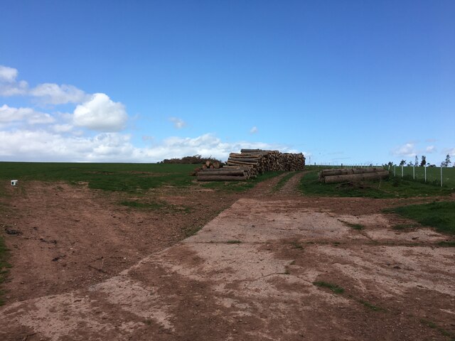
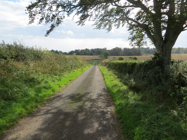
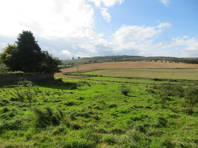
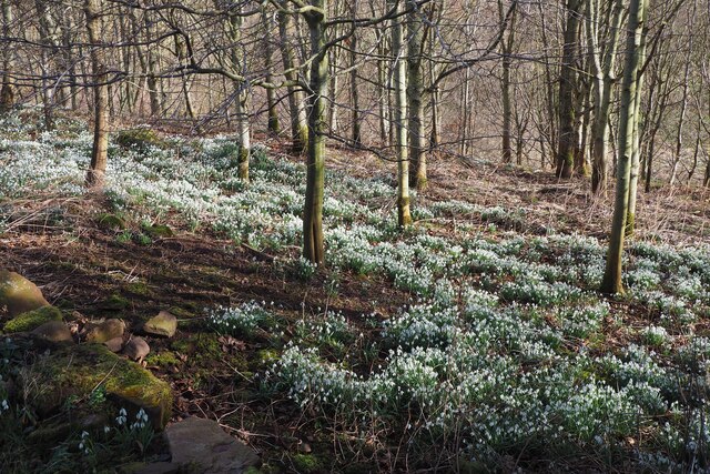
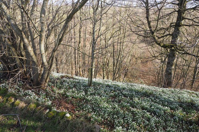
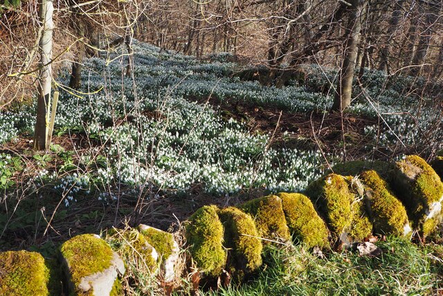
Habsfauld Plantation, located in Berwickshire, Scotland, is a picturesque woodland area encompassing approximately 120 acres. This idyllic forest is nestled in the southern part of the country and offers visitors a tranquil and serene environment to explore.
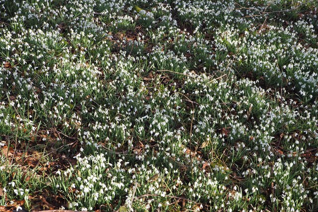
The plantation features a diverse range of tree species, including towering Scots pines, graceful silver birches, and sturdy oak trees. This variety creates a rich and vibrant ecosystem, attracting a wide array of wildlife, such as red squirrels, roe deer, and a multitude of bird species. Nature enthusiasts and birdwatchers will delight in the opportunity to observe and appreciate the local flora and fauna in their natural habitat.
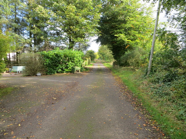
Visitors to Habsfauld Plantation can enjoy a pleasant walk along the well-maintained trails that wind through the forest. These paths are suitable for all levels of fitness and provide an excellent opportunity to immerse oneself in the peaceful ambiance of the woodland. Along the way, there are several benches strategically placed, offering a chance to rest and take in the breathtaking views.
For those seeking a more immersive experience, the plantation provides designated camping areas where visitors can spend the night under the canopy of trees. This allows nature lovers to fully embrace the tranquility and beauty of the woodland, with the soothing sounds of rustling leaves and chirping birds as their lullaby.
Habsfauld Plantation is a cherished natural gem in Berwickshire, attracting locals and tourists alike who seek solace and connection with nature. Its diverse ecosystem, well-maintained trails, and camping facilities make it an ideal destination for outdoor enthusiasts and those looking to escape the hustle and bustle of everyday life.
If you have any feedback on the listing, please let us know in the comments section below.
Habsfauld Plantation Images
Images are sourced within 2km of 55.745585/-2.4063707 or Grid Reference NT7450. Thanks to Geograph Open Source API. All images are credited.
Habsfauld Plantation is located at Grid Ref: NT7450 (Lat: 55.745585, Lng: -2.4063707)
Unitary Authority: The Scottish Borders
Police Authority: The Lothians and Scottish Borders
What 3 Words
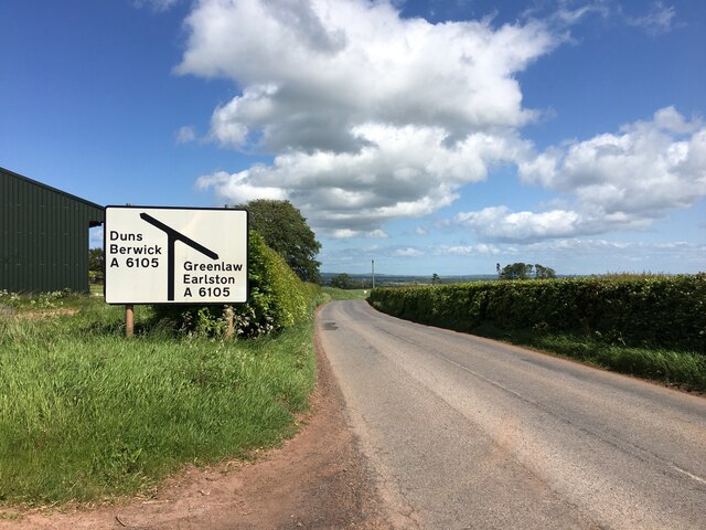
///decades.sweetened.hissing. Near Duns, Scottish Borders
Nearby Locations
Related Wikis

Polwarth, Scottish Borders
Polwarth (Scots: Polart) is a village and parish in the Scottish Borders area of Scotland. It is located at grid reference NT745502, between Greenlaw and...

Polwarth Castle
Polwarth Castle was a castle, located near Polwarth, Scottish Borders in Scotland. == History == Held by the Polwarth family it passed by marriage of Elizabeth...
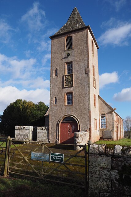
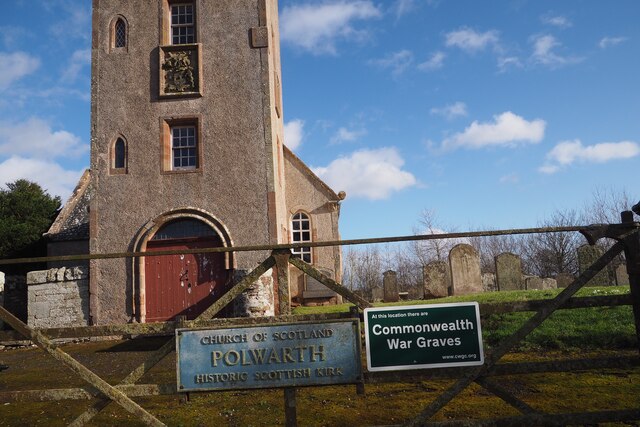
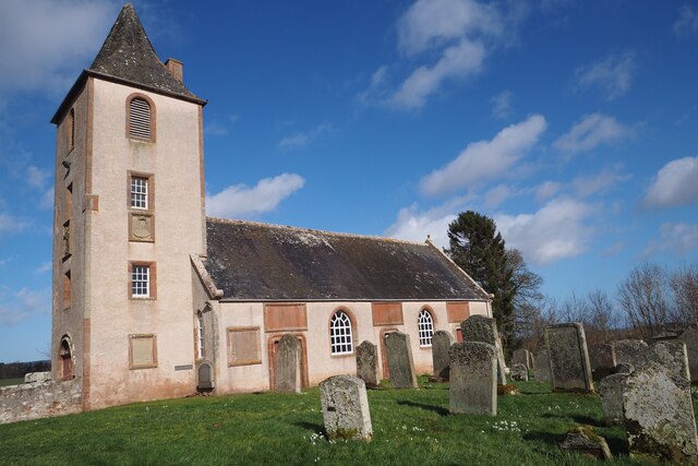
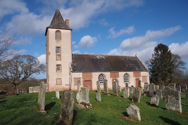
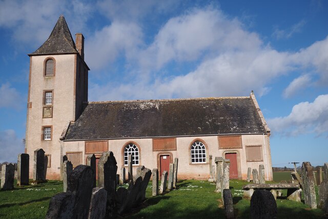
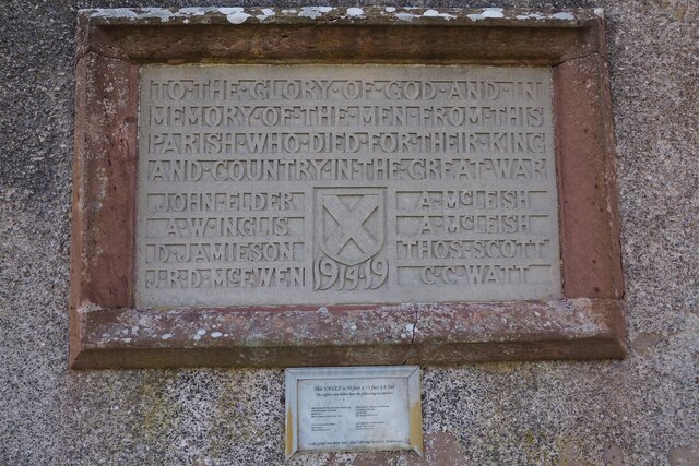
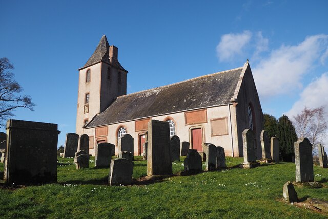
Polwarth Parish Church
Polwarth Parish Church was a member church (Scots: kirk) of the Church of Scotland before closing in 2004. It is situated atop a mound off a minor...
Marchmont railway station
Marchmont railway station served the estate of Marchmont, Scottish Borders, Scotland from 1863 to 1948 on the North British Railway. == History == The...
Nearby Amenities
Located within 500m of 55.745585,-2.4063707Have you been to Habsfauld Plantation?
Leave your review of Habsfauld Plantation below (or comments, questions and feedback).