Mellendean Burn Wood

Wood, Forest in Roxburghshire

Scotland

Mellendean Burn Wood

Fisherman and ghillie on the River Tweed As we watched a salmon or trout leapt out of the water beyond the boat!
Fisherman and ghillie on the River Tweed Credit: Russel Wills

Mellendean Burn Wood is a picturesque forest located in Roxburghshire, Scotland. Covering an area of approximately 50 hectares, it offers visitors a stunning natural retreat with its diverse array of flora and fauna.

The woodland is predominantly composed of native tree species, including oak, birch, and ash. These towering trees create a dense canopy that provides shade and shelter for the myriad of wildlife inhabiting the area. Mellendean Burn Wood is known for its rich biodiversity, and visitors may spot various bird species such as woodpeckers, owls, and thrushes. Small mammals like squirrels, rabbits, and voles are also commonly seen scurrying amongst the undergrowth.

The woodland is crisscrossed by numerous walking trails, allowing visitors to explore its beauty at their own pace. These well-maintained paths wind through the forest, offering glimpses of enchanting clearings, babbling brooks, and tranquil ponds. The sound of the Mellendean Burn River, which runs through the heart of the wood, adds to the peaceful ambiance of the surroundings.

Nature enthusiasts will delight in the abundance of wildflowers that carpet the forest floor during the spring and summer months. Bluebells, primroses, and wild garlic create a colorful tapestry, attracting butterflies and bees to their nectar-rich blooms.

Mellendean Burn Wood is a true haven for those seeking solace in nature. Its captivating beauty and diverse wildlife make it a must-visit destination for anyone exploring the natural wonders of Roxburghshire.

If you have any feedback on the listing, please let us know in the comments section below.

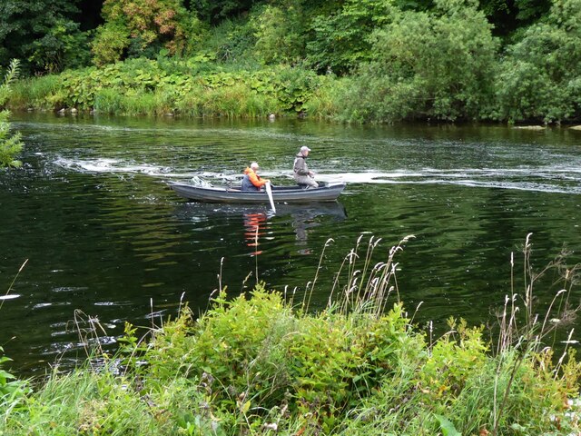
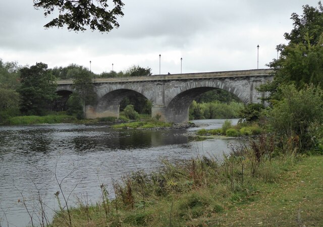
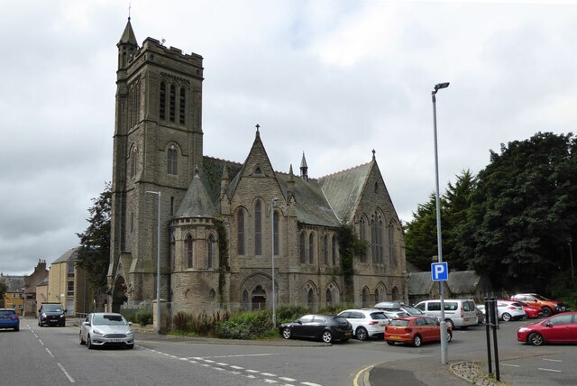
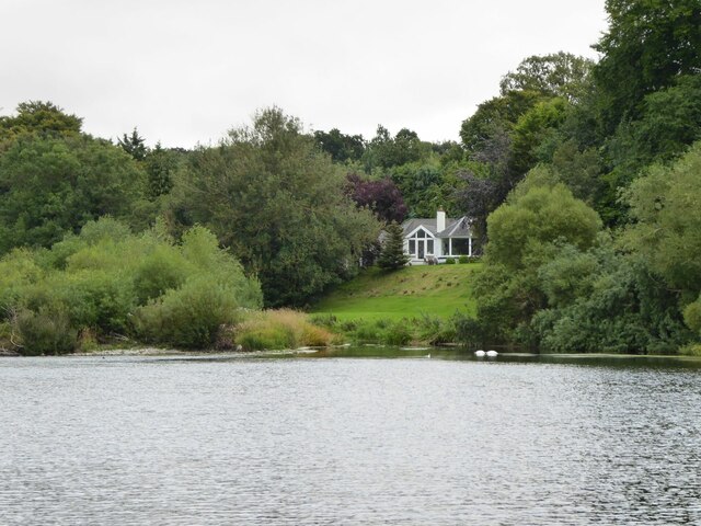
Mellendean Burn Wood Images

Images are sourced within 2km of 55.593677/-2.4048619 or Grid Reference NT7433. Thanks to Geograph Open Source API. All images are credited.

Fisherman and ghillie on the River Tweed As we watched a salmon or trout leapt out of the water beyond the boat!
Fisherman and ghillie on the River Tweed
As we watched a salmon or trout leapt out of the water beyond the boat!
Kelso Bridge Over the River Tweed.
Kelso Bridge
Over the River Tweed.
North Trinity Church, East Bowmont Street, Kelso Built as Kelso United Presbyterian Church replacing and on site of church of 1788. (Historic Scotland) Latterly in use as a workshop.
North Trinity Church, East Bowmont Street, Kelso
Built as Kelso United Presbyterian Church replacing and on site of church of 1788. (Historic Scotland) Latterly in use as a workshop.
Sentry on duty at fuel store At Hunters Hall on the road to Town Yetholm.
Sentry on duty at fuel store
At Hunters Hall on the road to Town Yetholm.
B6352 Road leaving Kelso Heading for Town Yetholm.
B6352 Road leaving Kelso
Heading for Town Yetholm.
Bungalow overlooking the River Tweed With pair of swans, bottoms up, and a heron resting on foreshore.
Bungalow overlooking the River Tweed
With pair of swans, bottoms up, and a heron resting on foreshore.
Houses on Mayfield Riverside Walk, Kelso With splendid, uninterrupted views of the River Tweed.
Houses on Mayfield Riverside Walk, Kelso
With splendid, uninterrupted views of the River Tweed.
Rosebank Cemetery, Kelso The cemetery, known by the Commonwealth War Graves Commission as simply Kelso Cemetery, on the Duns road, at the junction of Shedden Park Road and Dryinghouse Lane, belongs to the Town Council.
Rosebank Cemetery, Kelso
The cemetery, known by the Commonwealth War Graves Commission as simply Kelso Cemetery, on the Duns road, at the junction of Shedden Park Road and Dryinghouse Lane, belongs to the Town Council.
Parked straw rake After the field has been combine harvested, and straw raked and baled.
Parked straw rake
After the field has been combine harvested, and straw raked and baled.
B6352 to Town Yetholm Near Proctor's Smithy.
B6352 to Town Yetholm
Near Proctor's Smithy.
Stubble fields after harvesting Middle Softlaw in the distance.
Stubble fields after harvesting
Middle Softlaw in the distance.
Stubble field and hedge Beside the B6352.  Looking towards Hunters Hall.
Stubble field and hedge
Beside the B6352. Looking towards Hunters Hall.
Town Hall, Kelso Built in 1816 at the expense of the 5th Duke of Roxburghe and local subscribers, the town hall is set in a conspicuous position projecting into the Square. The present hall stands on the site of the tolbooth, which was described as 'old and ruinous' in the late 18th century. It is probable that some of the masonry of the tolbooth was reused in the construction of the present building. The present ornamental character is largely the result of work carried out by J. D. Swanston of Kirkcaldy in 1904-6. Before these alterations, the ground-floor arcade was open on three sides to form a market-area. At first-floor level the detached Ionic columns of the centrepiece were replaced by attached columns raised on pedestals linked by a balustrade. The wallhead balustrade was removed, and Gibbs surrounds were added to the round-headed openings of the clock-tower. The interior was also extensively remodelled and most of the original fittings were replaced. The first floor, reached by a staircase to the rear, incorporated the council-chamber.
Town Hall, Kelso
Built in 1816 at the expense of the 5th Duke of Roxburghe and local subscribers, the town hall is set in a conspicuous position projecting into the Square. The present hall stands on the site of the tolbooth, which was described as 'old and ruinous' in the late 18th century. It is probable that some of the masonry of the tolbooth was reused in the construction of the present building. The present ornamental character is largely the result of work carried out by J. D. Swanston of Kirkcaldy in 1904-6. Before these alterations, the ground-floor arcade was open on three sides to form a market-area. At first-floor level the detached Ionic columns of the centrepiece were replaced by attached columns raised on pedestals linked by a balustrade. The wallhead balustrade was removed, and Gibbs surrounds were added to the round-headed openings of the clock-tower. The interior was also extensively remodelled and most of the original fittings were replaced. The first floor, reached by a staircase to the rear, incorporated the council-chamber.
Hector Innes Photography Hector Innes Photography is located at 33 The Square, Kelso. The business was established in 1937.
Hector Innes Photography
Hector Innes Photography is located at 33 The Square, Kelso. The business was established in 1937.
Kelso Health Centre The Health Centre on Inch Road, Kelso.
Kelso Health Centre
The Health Centre on Inch Road, Kelso.
Riverside path, Kelso A short stretch of path on the south bank of the Tweed between the old town bridge and the modern Hunter Bridge.
Riverside path, Kelso
A short stretch of path on the south bank of the Tweed between the old town bridge and the modern Hunter Bridge.
The Tweed and Hunter Bridge, Kelso Smooth water in the foreground becomes turbulent as it flows over the cauld (weir) between the left bank and the end of Wooden Anna island to the right. Water diverted around the right-hand side of Wooden Anna powered Wooden Mill before returning to the main river. The bridge carries the A698 Kelso by-pass.
The Tweed and Hunter Bridge, Kelso
Smooth water in the foreground becomes turbulent as it flows over the cauld (weir) between the left bank and the end of Wooden Anna island to the right. Water diverted around the right-hand side of Wooden Anna powered Wooden Mill before returning to the main river. The bridge carries the A698 Kelso by-pass.
Road under Hunter Bridge, Kelso The B6350 to Sprouston passes under the viaduct approach carrying the A698 to Hunter Bridge across the Tweed.
Road under Hunter Bridge, Kelso
The B6350 to Sprouston passes under the viaduct approach carrying the A698 to Hunter Bridge across the Tweed.
Show me another place!

Mellendean Burn Wood is located at Grid Ref: NT7433 (Lat: 55.593677, Lng: -2.4048619)

Unitary Authority: The Scottish Borders

Police Authority: The Lothians and Scottish Borders

What 3 Words

///protect.digests.cakewalk. Near Maxwellheugh, Scottish Borders

Related Wikis

Kelso railway station

Kelso railway station served the town of Kelso, Scottish Borders, Scotland from 1851 to 1964 on the Kelso Line. == History == The station opened on 27...

Corn Exchange, Kelso

The Corn Exchange is a commercial building in Woodmarket, Kelso, Scottish Borders, Scotland. The structure, which accommodates a health clinic, a dental...
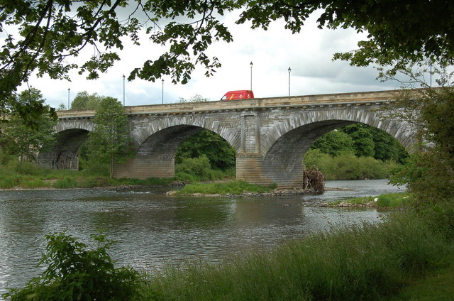
Kelso Bridge

The Kelso Bridge or Rennie's Bridge is a bridge across the River Tweed at Kelso, in the Scottish Borders. == History == === Old bridge === The first bridge...
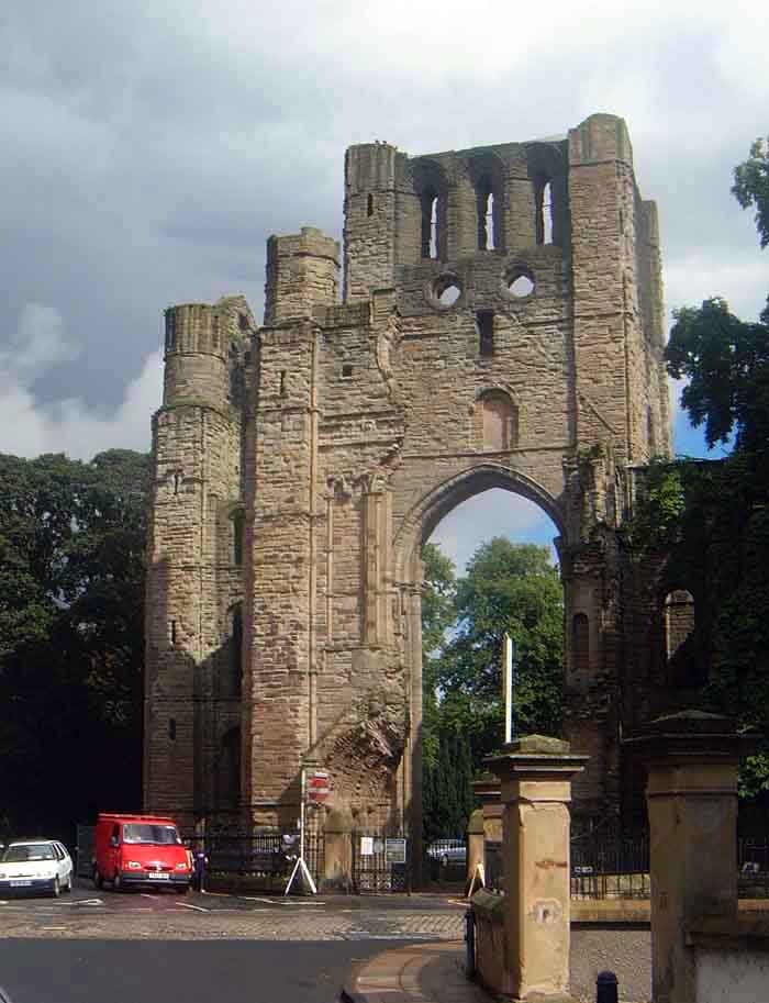
Kelso Abbey

Kelso Abbey is a ruined Scottish abbey in Kelso, Scotland. It was founded in the 12th century by a community of Tironensian monks first brought to Scotland...

Nearby Amenities

Located within 500m of 55.593677,-2.4048619
Tumulus
Archaeological Site: tumulus
Historic: archaeological_site
Lat/Long: 55.5939977/-2.4113975
Power: pole
Lat/Long: 55.5898383/-2.4059693
Power: pole
Lat/Long: 55.5899974/-2.4048948
Power: pole
Lat/Long: 55.5902395/-2.4039099
Power: pole
Lat/Long: 55.590319/-2.4035966
Power: pole
Lat/Long: 55.590778/-2.4021597
Power: pole
Lat/Long: 55.5912587/-2.400595
Power: pole
Lat/Long: 55.5920031/-2.3995355
Power: pole
Lat/Long: 55.5928416/-2.3983353
Power: pole
Lat/Long: 55.5937872/-2.3969709
Power: pole
Lat/Long: 55.5892661/-2.4052615
Power: pole
Lat/Long: 55.5902937/-2.4065214
Power: pole
Lat/Long: 55.5906925/-2.4080051
Power: pole
Lat/Long: 55.5911695/-2.4097468
Power: pole
Lat/Long: 55.5915237/-2.4110387
The data included in this document is from www.openstreetmap.org. The data is made available under ODbL.

Have you been to Mellendean Burn Wood?

Leave your review of Mellendean Burn Wood below (or comments, questions and feedback).