The Clump
Wood, Forest in Roxburghshire
Scotland
The Clump
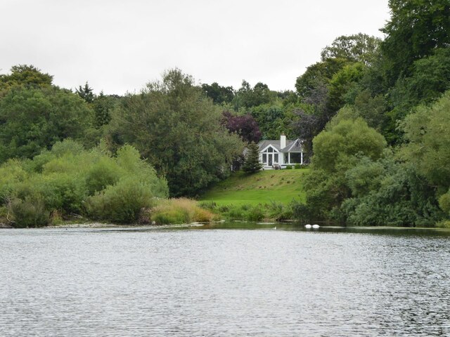
The Clump, located in Roxburghshire, Scotland, is a picturesque wood or forest that offers a serene and enchanting environment for nature lovers and outdoor enthusiasts. Spanning approximately 50 acres, this woodland area is nestled in the heart of the Scottish Borders, surrounded by rolling hills and breathtaking landscapes.
The Clump boasts a diverse range of tree species, including oak, beech, and Scots pine, which create a rich tapestry of colors throughout the seasons. The forest floor is adorned with a vibrant carpet of wildflowers, adding to the area's natural beauty. A network of well-maintained footpaths meanders through the wood, allowing visitors to explore its various nooks and crannies.
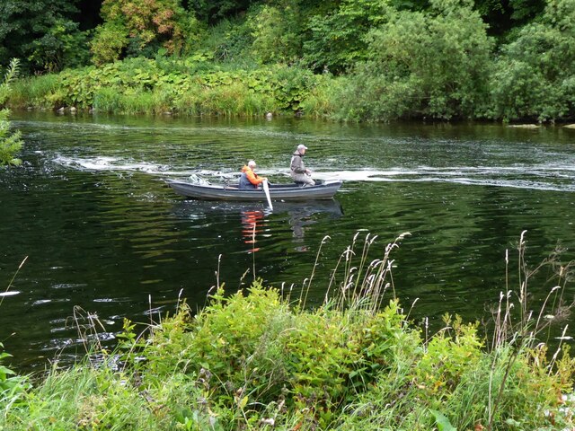
The woodland is home to a wide array of wildlife, including roe deer, red squirrels, and a plethora of bird species, making it a haven for birdwatching enthusiasts. With its tranquil atmosphere and abundant wildlife, The Clump offers an ideal opportunity for nature photography and wildlife observation.
Furthermore, The Clump provides an excellent spot for recreational activities such as walking, jogging, and picnicking. The peacefulness and seclusion of the wood make it an ideal escape from the hustle and bustle of everyday life, allowing visitors to immerse themselves in the tranquility of nature.
The Clump, Roxburghshire, is a hidden gem that invites visitors to connect with nature and experience the beauty of Scotland's woodlands. Whether it's a leisurely stroll, wildlife spotting, or simply enjoying a picnic amidst the natural surroundings, The Clump offers a truly rejuvenating experience for all who visit.
If you have any feedback on the listing, please let us know in the comments section below.
The Clump Images
Images are sourced within 2km of 55.59777/-2.4088555 or Grid Reference NT7433. Thanks to Geograph Open Source API. All images are credited.


The Clump is located at Grid Ref: NT7433 (Lat: 55.59777, Lng: -2.4088555)
Unitary Authority: The Scottish Borders
Police Authority: The Lothians and Scottish Borders
What 3 Words
///expansion.recent.calls. Near Maxwellheugh, Scottish Borders
Nearby Locations
Related Wikis

Kelso railway station
Kelso railway station served the town of Kelso, Scottish Borders, Scotland from 1851 to 1964 on the Kelso Line. == History == The station opened on 27...

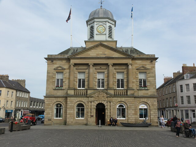
Corn Exchange, Kelso
The Corn Exchange is a commercial building in Woodmarket, Kelso, Scottish Borders, Scotland. The structure, which accommodates a health clinic, a dental...
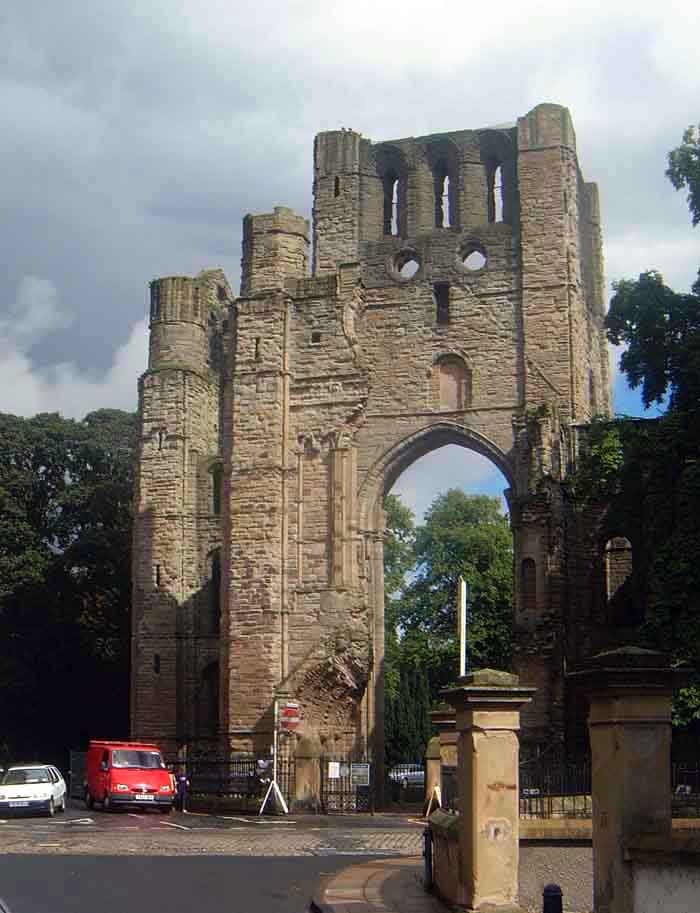
Kelso Abbey
Kelso Abbey is a ruined Scottish abbey in Kelso, Scotland. It was founded in the 12th century by a community of Tironensian monks first brought to Scotland...

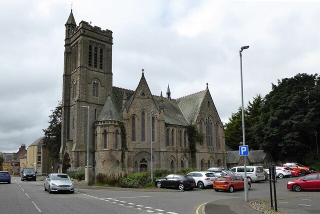
Kelso, Scottish Borders
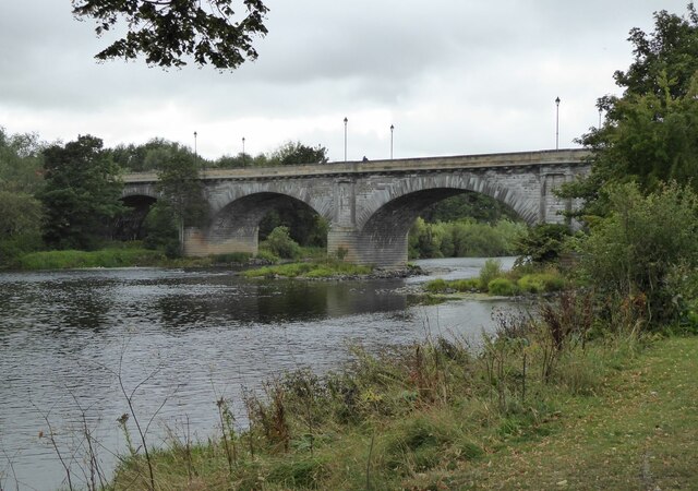
Kelso is a market town in the Scottish Borders area of Scotland. Within the boundaries of the historic county of Roxburghshire, it lies where the rivers...
Nearby Amenities
Located within 500m of 55.59777,-2.4088555Have you been to The Clump?
Leave your review of The Clump below (or comments, questions and feedback).