Carlieth Wood
Wood, Forest in Kincardineshire
Scotland
Carlieth Wood
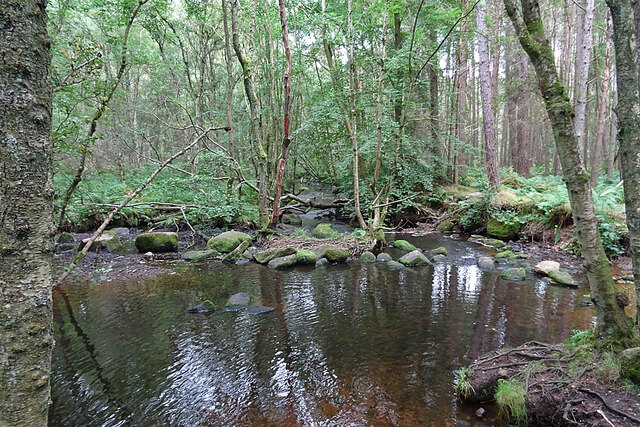
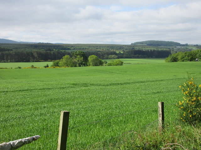
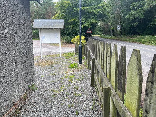
Carlieth Wood is a beautiful forest located in Kincardineshire, Scotland. Covering an area of approximately 200 acres, it is a popular destination for nature enthusiasts and outdoor lovers. The wood is known for its diverse range of tree species, including oak, birch, beech, and pine, which create a stunning and vibrant landscape throughout the year.
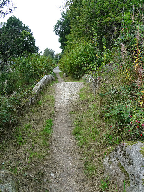
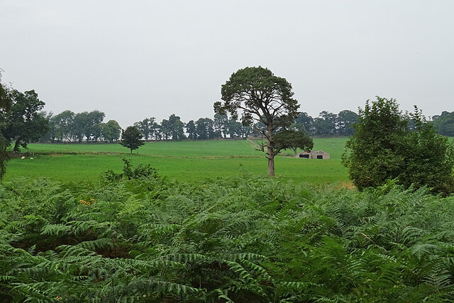
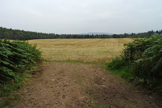
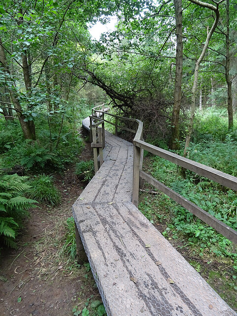
The forest offers a variety of walking and hiking trails, making it an ideal spot for both leisurely strolls and more challenging adventures. Visitors can explore the well-maintained paths that wind through the woodland, offering picturesque views of the surrounding countryside. The tranquil atmosphere and peaceful setting make Carlieth Wood a perfect retreat for those seeking solace in nature.
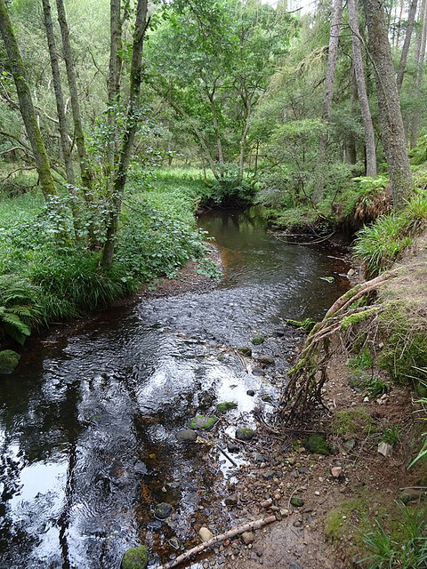
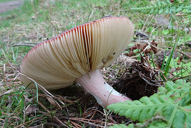
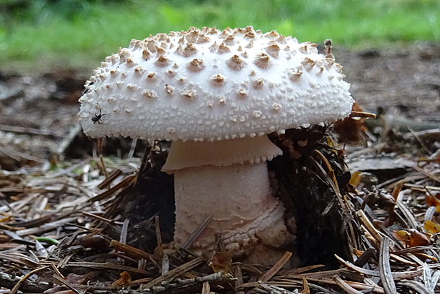
The forest is also home to a rich array of wildlife, including deer, squirrels, and various bird species. Nature enthusiasts can spot these creatures in their natural habitat, providing an opportunity for wildlife photography and observation. Additionally, the forest is a haven for plant species, with vibrant wildflowers and ferns dotted throughout the woodland floor.
Carlieth Wood is easily accessible, with ample parking facilities available nearby. The forest is open to the public throughout the year, allowing visitors to enjoy its beauty in all seasons. Whether it is a leisurely stroll, a family picnic, or a more adventurous exploration, Carlieth Wood offers a delightful and enriching experience for all nature lovers and outdoor enthusiasts.
If you have any feedback on the listing, please let us know in the comments section below.
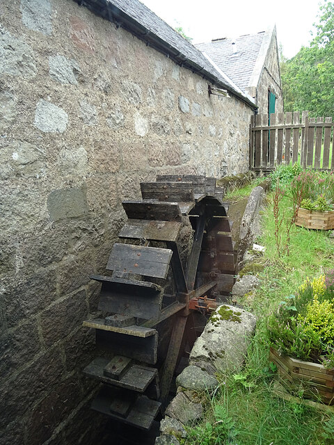
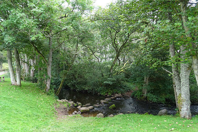
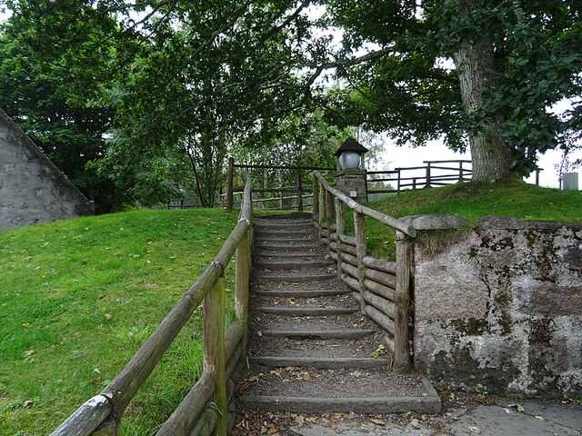
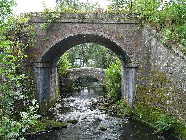
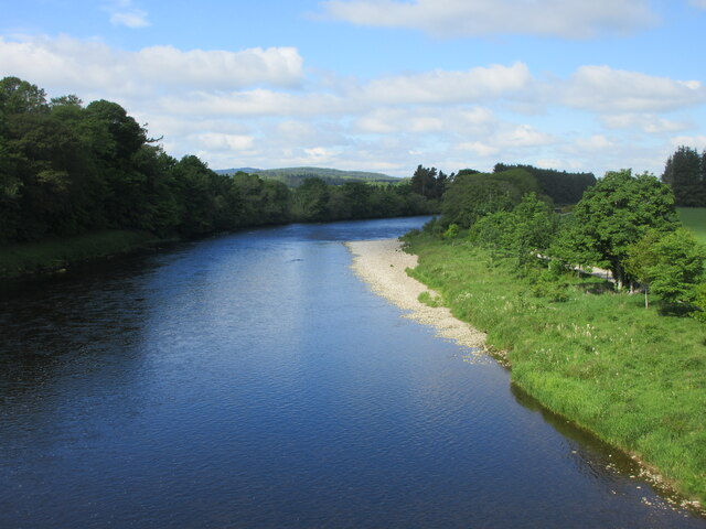
Carlieth Wood Images
Images are sourced within 2km of 57.067656/-2.4239162 or Grid Reference NO7497. Thanks to Geograph Open Source API. All images are credited.
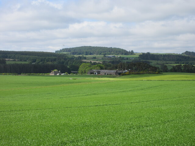
Carlieth Wood is located at Grid Ref: NO7497 (Lat: 57.067656, Lng: -2.4239162)
Unitary Authority: Aberdeenshire
Police Authority: North East
What 3 Words
///harnessed.approach.glimmers. Near Banchory, Aberdeenshire
Nearby Locations
Related Wikis
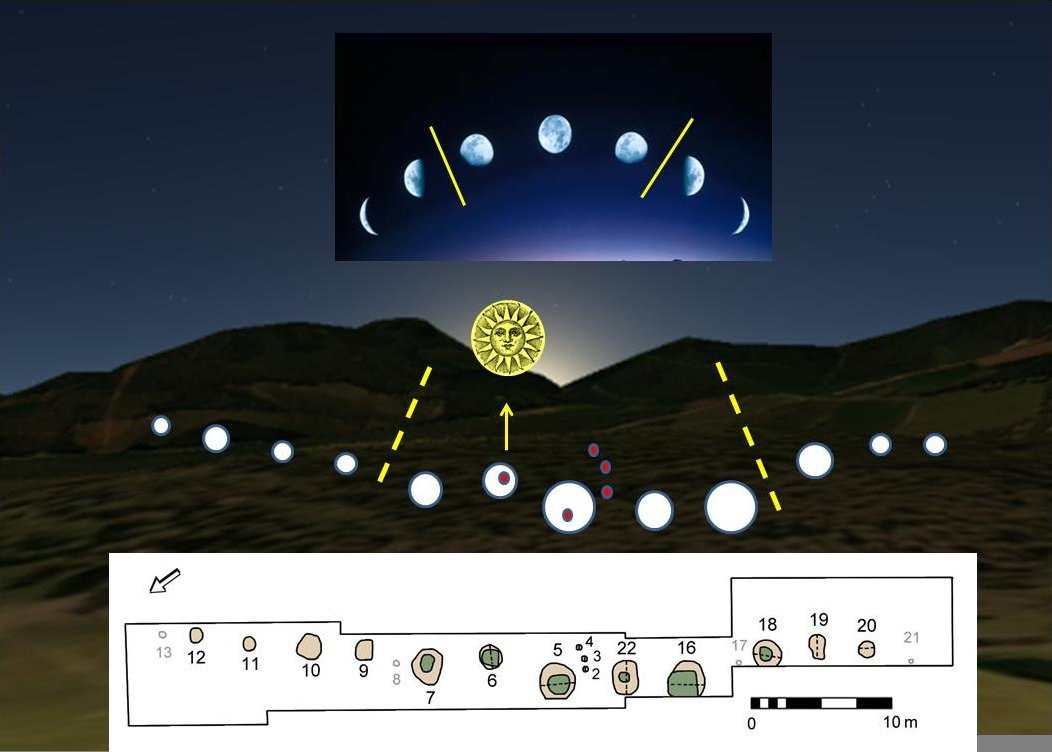
Warren Field
Warren Field is the location of a mesolithic calendar monument built about 8,000 BCE. It includes 12 pits believed to correlate with phases of the Moon...

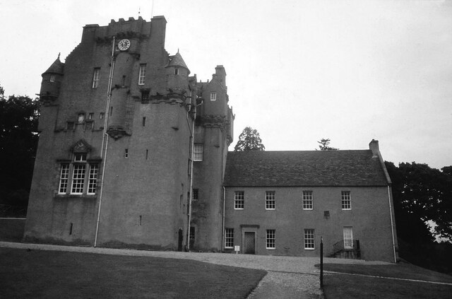
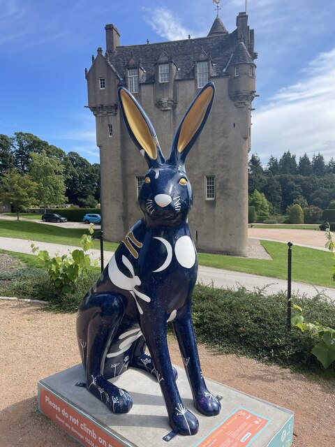
Crathes Castle
Crathes Castle (pronounced KRATH-iss) is a castle, built in the 16th-century, near Banchory in Aberdeenshire, Scotland. It is in the historic county of...

Royal Deeside Railway
The Royal Deeside Railway is a Scottish heritage railway located at Milton of Crathes railway station on a part of the original Deeside Railway. ��2�...

Milton of Crathes railway station
Milton of Crathes railway station is located at Milton of Crathes, three miles east of Banchory, Royal Deeside, Aberdeenshire, Scotland, United Kingdom...
Have you been to Carlieth Wood?
Leave your review of Carlieth Wood below (or comments, questions and feedback).