Baldarroch Wood
Wood, Forest in Kincardineshire
Scotland
Baldarroch Wood
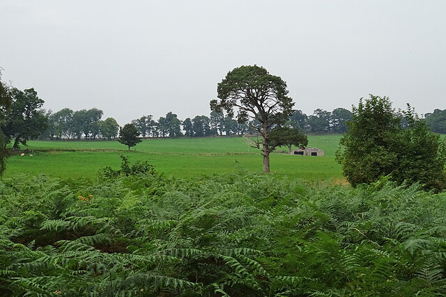
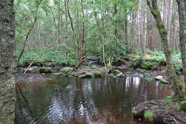
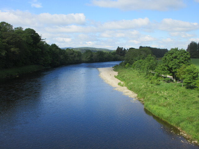
Baldarroch Wood is a picturesque forest located in Kincardineshire, Scotland. Spread over an area of approximately 100 acres, this woodland is known for its diverse ecosystem and natural beauty. The wood is situated on the southern slopes of the River Dee valley, providing stunning views of the surrounding countryside.
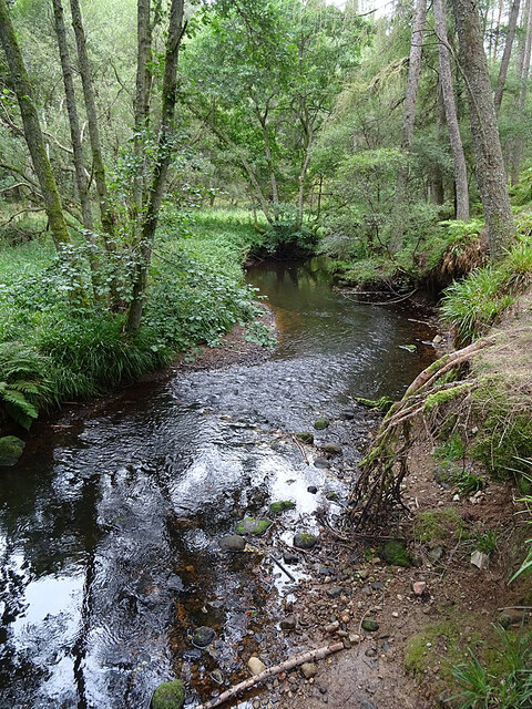
The forest is primarily composed of native tree species such as oak, birch, and pine, creating a rich and varied habitat for numerous plant and animal species. It is a haven for wildlife enthusiasts, offering opportunities to spot a variety of birds, mammals, and insects.
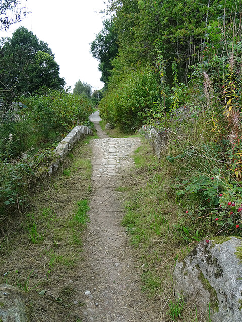
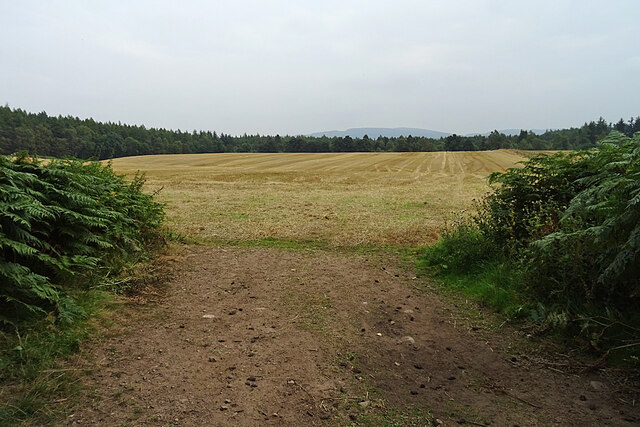
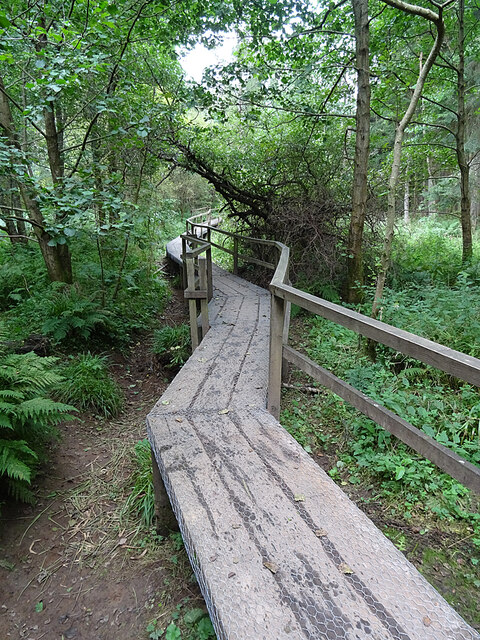
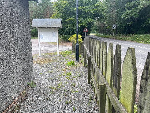
Baldarroch Wood is popular among nature lovers and outdoor enthusiasts who enjoy activities such as walking, hiking, and birdwatching. The wood features a network of well-maintained trails and paths that meander through the trees, providing visitors with a chance to explore the forest at their own pace. These trails offer breathtaking views of the surrounding landscape and allow visitors to immerse themselves in the peaceful ambiance of the woodland.
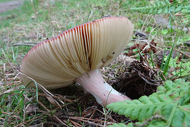
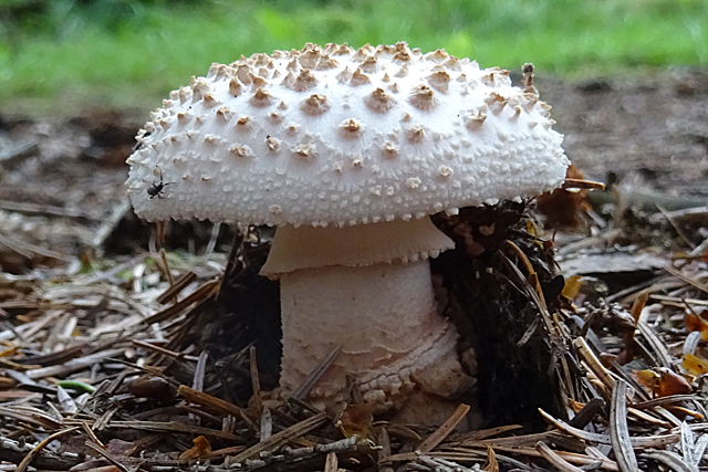
The wood is also home to a diverse range of flora, including wildflowers, ferns, and mosses, adding to its natural beauty. During the spring and summer months, the forest bursts into a riot of colors as the wildflowers bloom, creating a vibrant and enchanting atmosphere.
Overall, Baldarroch Wood in Kincardineshire is a captivating forest that offers a tranquil escape from the hustle and bustle of everyday life. Its natural beauty, diverse wildlife, and well-maintained trails make it a perfect destination for nature enthusiasts and those seeking a peaceful retreat in the heart of Scotland.
If you have any feedback on the listing, please let us know in the comments section below.
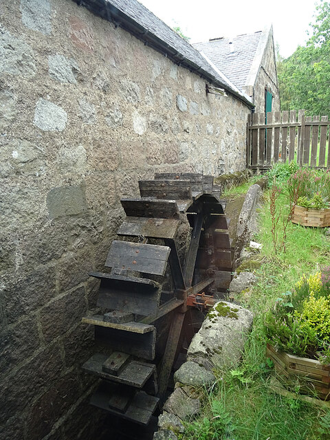
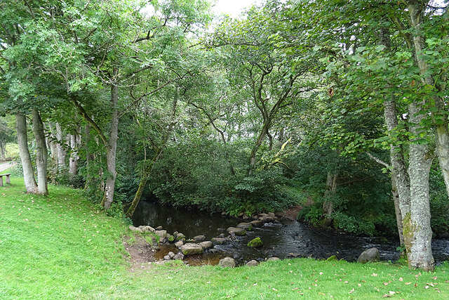
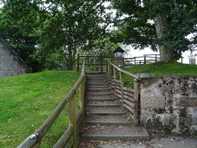
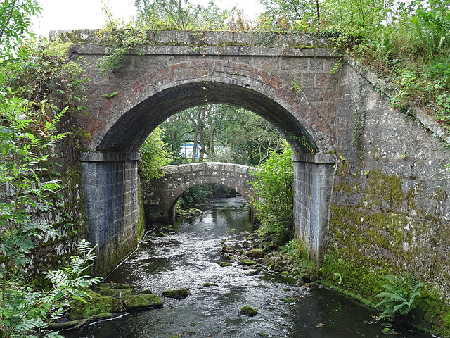
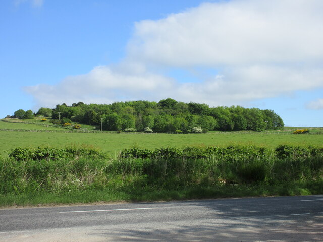
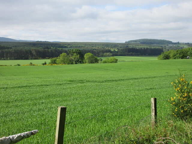
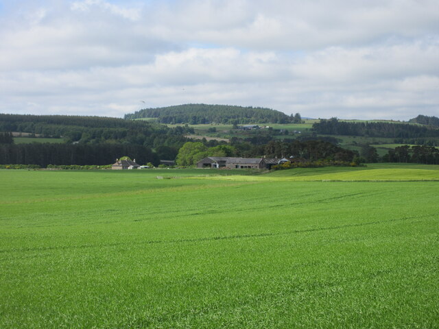
Baldarroch Wood Images
Images are sourced within 2km of 57.067317/-2.4150238 or Grid Reference NO7497. Thanks to Geograph Open Source API. All images are credited.
Baldarroch Wood is located at Grid Ref: NO7497 (Lat: 57.067317, Lng: -2.4150238)
Unitary Authority: Aberdeenshire
Police Authority: North East
What 3 Words
///boot.slogans.amending. Near Banchory, Aberdeenshire
Nearby Locations
Related Wikis
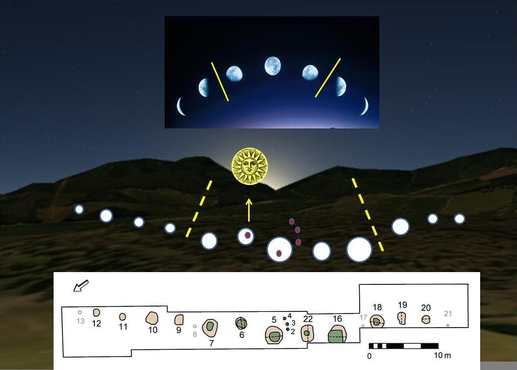
Warren Field
Warren Field is the location of a mesolithic calendar monument built about 8,000 BCE. It includes 12 pits believed to correlate with phases of the Moon...

Mills of Drum railway station
Mills of Drum railway station was opened in September 1853 by the Deeside Railway and served the rural area around Park House and Crathes estates at the...
Banchory St Ternan F.C.
Banchory St. Ternan Football Club are a Scottish Junior football club based in Crathes, two miles outside the town of Banchory, Aberdeenshire. The club...

Milton of Crathes
Milton of Crathes is a complex of restored 17th-century stone buildings, associated with, and previously an outlier of, Crathes Castle in Aberdeenshire...
Have you been to Baldarroch Wood?
Leave your review of Baldarroch Wood below (or comments, questions and feedback).