Oldmill Belt

Wood, Forest in Aberdeenshire

Scotland

Oldmill Belt

Birkenhills Farm The roadside steading of Birkenhills Farm by the A947.
Birkenhills Farm Credit: Andrew Wood

Located in Aberdeenshire, Scotland, Oldmill Belt is a picturesque woodland area renowned for its natural beauty and historical significance. Stretching over several hectares, this ancient forest attracts nature enthusiasts and history buffs alike.

Oldmill Belt is characterized by an abundance of mature trees, including oak, birch, and pine, which create a diverse and vibrant landscape. The woodland is home to a variety of wildlife, such as red squirrels, roe deer, and a multitude of bird species, making it a haven for nature lovers.

With its rich history, Oldmill Belt offers a glimpse into the past. The forest contains remnants of ancient settlements, including stone circles and burial sites, providing a fascinating insight into the lives of early inhabitants. Archaeological excavations have uncovered artifacts that date back thousands of years, adding to the allure of the area.

Visitors to Oldmill Belt can explore the forest through a network of well-maintained walking trails, allowing them to immerse themselves in the serene surroundings. The trails vary in length and difficulty, catering to all levels of fitness and enthusiasm. Along the way, visitors can enjoy breathtaking views of the rolling countryside, tranquil streams, and cascading waterfalls.

The forest is also home to a visitor center, where guests can learn more about the history, flora, and fauna of Oldmill Belt. The center offers educational exhibits, guided tours, and interactive displays, enhancing the visitor experience.

Whether it's a leisurely stroll through the woodland, a picnic amidst nature, or a journey into the past, Oldmill Belt is a must-visit destination for those seeking tranquility, natural beauty, and a connection to Scotland's ancient history.

If you have any feedback on the listing, please let us know in the comments section below.
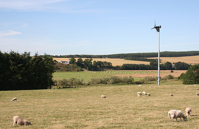
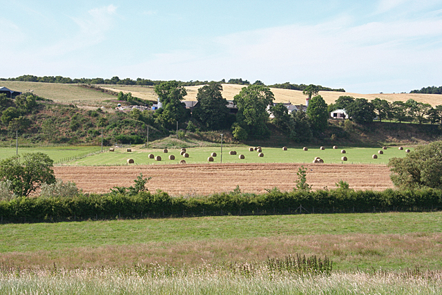
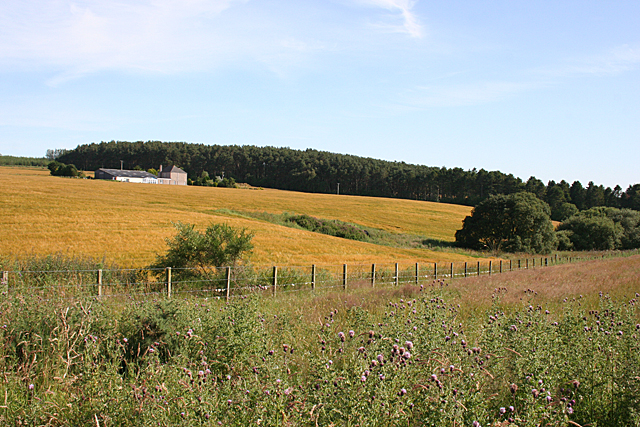
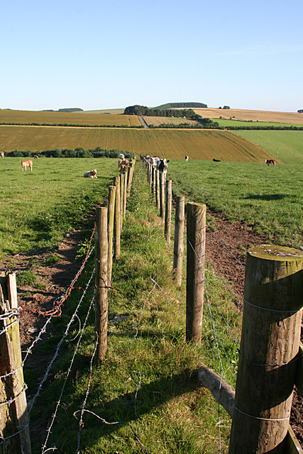
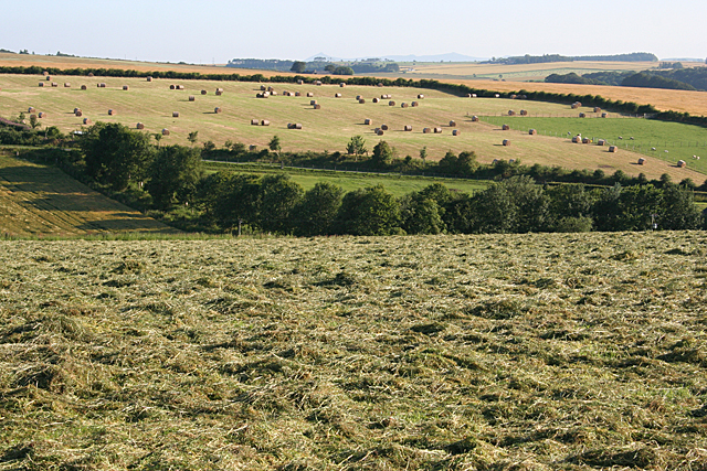
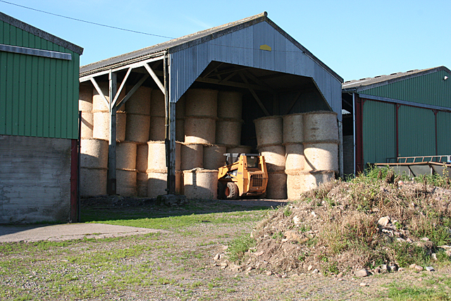
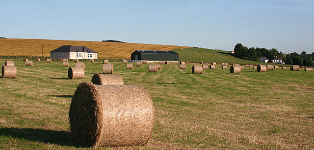
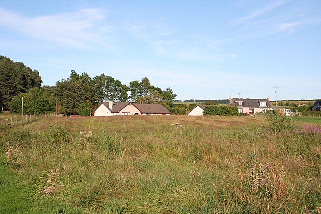
Oldmill Belt Images

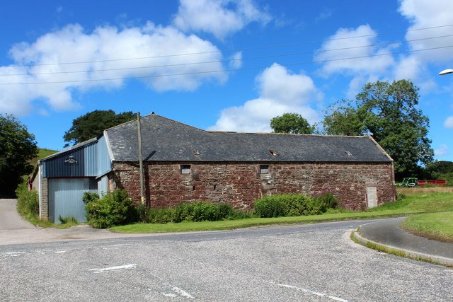
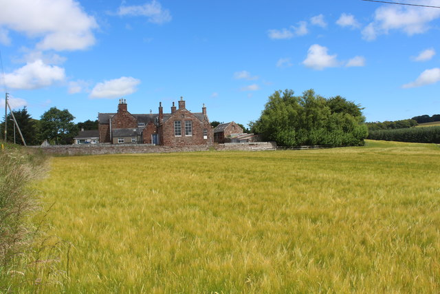
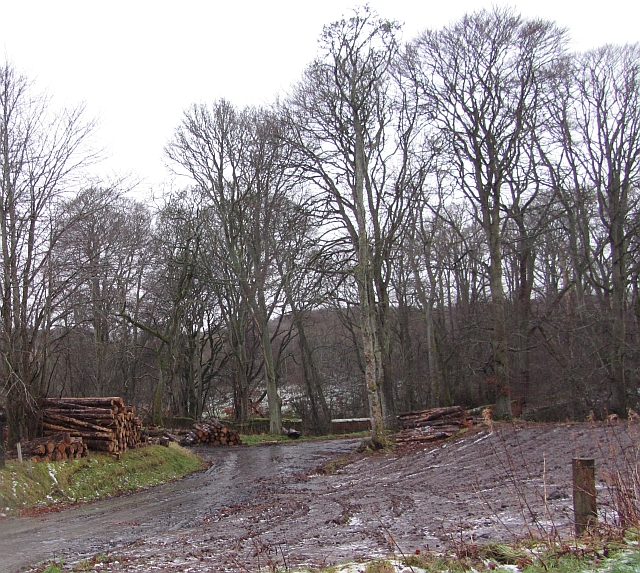
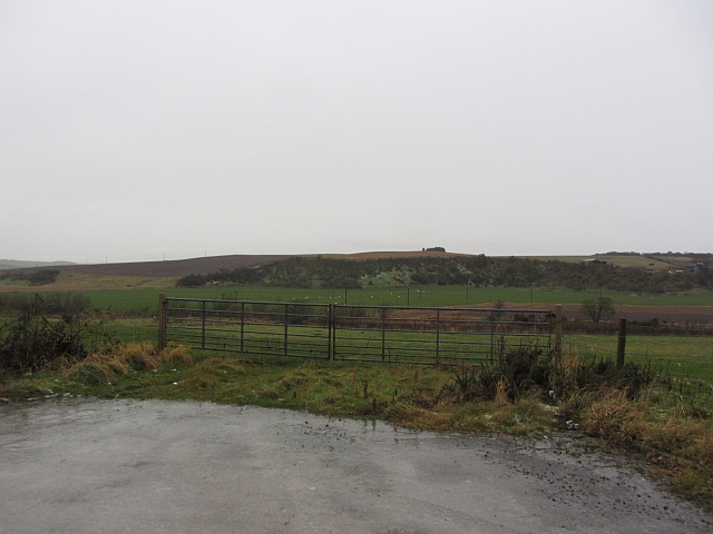
Images are sourced within 2km of 57.512446/-2.4206522 or Grid Reference NJ7446. Thanks to Geograph Open Source API. All images are credited.

Birkenhills Farm The roadside steading of Birkenhills Farm by the A947.
Birkenhills Farm
The roadside steading of Birkenhills Farm by the A947.
Birkenhills School Seen across a field of barley this building no longer functions as a school but as a community centre.
Birkenhills School
Seen across a field of barley this building no longer functions as a school but as a community centre.
Banff, Macduff and Turriff Junction Railway The trackbed of the Banff, Macduff and Turriff Junction Railway runs through beech woods on a parallel course to the A947 south of Turriff.
Banff, Macduff and Turriff Junction Railway
The trackbed of the Banff, Macduff and Turriff Junction Railway runs through beech woods on a parallel course to the A947 south of Turriff.
Logs, Crow Wood Piles of logs on the edge of Crow Wood, Hatton Castle Estate.
Logs, Crow Wood
Piles of logs on the edge of Crow Wood, Hatton Castle Estate.
Thawing fields Thawing of frost and snow is probably the most miserable of water. Latent heat of fusion takes its toll on air temperatures and the cooling forms fogs. Melting snow becomes very slippery ice and it's usually raining, just like today. View across a sodden field towards Wood of Colp.
Thawing fields
Thawing of frost and snow is probably the most miserable of water. Latent heat of fusion takes its toll on air temperatures and the cooling forms fogs. Melting snow becomes very slippery ice and it's usually raining, just like today. View across a sodden field towards Wood of Colp.
Big gates near Quarryhill Big combines need big gates. Faffing around with tripods and long exposures meant that I needed safe pull offs from the road. This entrance to a field was metalled and very convenient.
I was here in Summer 2011, and it rained then too, more light though.
Big gates near Quarryhill
Big combines need big gates. Faffing around with tripods and long exposures meant that I needed safe pull offs from the road. This entrance to a field was metalled and very convenient. I was here in Summer 2011, and it rained then too, more light though.
Little Ardinn Looking across the flat haugh land by the Idoch Water to Little Ardinn on the brae above.
Little Ardinn
Looking across the flat haugh land by the Idoch Water to Little Ardinn on the brae above.
Sheep and Hay Sheep on the low ground, and hay drying on the higher ground near Little Ardinn.
Sheep and Hay
Sheep on the low ground, and hay drying on the higher ground near Little Ardinn.
Little Ardinn The farm buildings at Little Ardin are sensibly sited above the floodplain of the Idoch Water.
Little Ardinn
The farm buildings at Little Ardin are sensibly sited above the floodplain of the Idoch Water.
Hillhead of Balquhindachy There is a fine crop of Creeping Thistle in the foreground, in contrast to the golden barley in the cultivated field at Hillhead.
Hillhead of Balquhindachy
There is a fine crop of Creeping Thistle in the foreground, in contrast to the golden barley in the cultivated field at Hillhead.
Double Fence This is rather curious. The gap is too narrow to be intended as a path - anyone trying to walk through it would very likely tear their clothing or themselves or both on the barbed wire. Is it a march where the owners of either side could not agree to share the cost and upkeep of the usual single fence?
Double Fence
This is rather curious. The gap is too narrow to be intended as a path - anyone trying to walk through it would very likely tear their clothing or themselves or both on the barbed wire. Is it a march where the owners of either side could not agree to share the cost and upkeep of the usual single fence?
Haymaking Or perhaps silage-making. The grass in the nearer field has not long been cut, and that in the distant field is baled ready for collection.
Haymaking
Or perhaps silage-making. The grass in the nearer field has not long been cut, and that in the distant field is baled ready for collection.
Bales in Storage Presumably this year's new bales, safely under cover where they won't get rained on, at Lescraigie.
Bales in Storage
Presumably this year's new bales, safely under cover where they won't get rained on, at Lescraigie.
New House near Woodend The house on the left isn't on the 1:50,000 map, but it is on the large-scale online map. Woodend is among the trees at right.
New House near Woodend
The house on the left isn't on the 1:50,000 map, but it is on the large-scale online map. Woodend is among the trees at right.
New Houses For a long time planning rules made it very difficult to build new in the countryside, but restrictions were relaxed some time ago and new houses, in groups and alone, are springing up all over the place. This cluster of houses is not named on the maps.
New Houses
For a long time planning rules made it very difficult to build new in the countryside, but restrictions were relaxed some time ago and new houses, in groups and alone, are springing up all over the place. This cluster of houses is not named on the maps.
A Really Boring Field I see that almost all the shots of this square so far are of this or a similar view. Even the fences shown on the 1:25,000 map are not in evidence. There are more interesting things hidden in the Wood of Colp on the far side of the field, which will make an excursion for a warmer day some time.
A Really Boring Field
I see that almost all the shots of this square so far are of this or a similar view. Even the fences shown on the 1:25,000 map are not in evidence. There are more interesting things hidden in the Wood of Colp on the far side of the field, which will make an excursion for a warmer day some time.
Road Junction You can tell that I am struggling to find an interesting view in this square. The sign tells drivers (and presumably passengers, navigators and the like) coming on the minor road from Turriff that they have reached the B9170 and that if they turn left they can go to Cuminestown. Apparently it doesn't take them anywhere if they turn right.
Road Junction
You can tell that I am struggling to find an interesting view in this square. The sign tells drivers (and presumably passengers, navigators and the like) coming on the minor road from Turriff that they have reached the B9170 and that if they turn left they can go to Cuminestown. Apparently it doesn't take them anywhere if they turn right.
Ploughing at Birkenhills According to the maps, the railway line used to run on an embankment through this field, which is in process of being ploughed, but all trace of the embankment has vanished.
Ploughing at Birkenhills
According to the maps, the railway line used to run on an embankment through this field, which is in process of being ploughed, but all trace of the embankment has vanished.
Show me another place!

Oldmill Belt is located at Grid Ref: NJ7446 (Lat: 57.512446, Lng: -2.4206522)

Unitary Authority: Aberdeenshire

Police Authority: North East

What 3 Words

///trouble.difficult.performs. Near Turriff, Aberdeenshire

Related Wikis

Hatton Castle, Aberdeenshire

Hatton Castle is almost three miles (4.8 km) south-east of Turriff, Aberdeenshire in the north-east of Scotland. Formerly known as Balquholly Castle, sometimes...

Auchterless railway station

Auchterless railway station was a railway station in Auchterless, Aberdeenshire. It served the rural area, the estate of Towie Barclay and a settlement...

Idoch Castle

Idoch Castle was a 14th-century castle about 3 miles (4.8 km) east of Turriff, Aberdeenshire Scotland, near Idoch Water, a tributary of the River Deveron...

Turriff Cottage Hospital

Turriff Cottage Hospital is a community hospital in Turriff, Aberdeenshire, Scotland. It is managed by NHS Grampian. == History == The hospital was designed...

Nearby Amenities

Located within 500m of 57.512446,-2.4206522
Speed Camera
Ref: 4030
Lat/Long: 57.5136689/-2.4261978
Bus Stop
Woodtown
Bench: yes
Bin: no
Bus: yes
Naptan AtcoCode: 630023981
Naptan Bearing: SE
Naptan CommonName: Woodtown
Naptan Indicator: SE bound
Naptan NaptanCode: 23624879
Naptan Street: A947
Naptan Verified: no
Public Transport: platform
Shelter: yes
Source: naptan;bing;naptan_compare_tool
Tactile Paving: no
Lat/Long: 57.5099765/-2.4240111
Power: pole
Lat/Long: 57.5122837/-2.4286746
Power: pole
Lat/Long: 57.5125034/-2.4276976
Power: pole
Lat/Long: 57.5129814/-2.4279837
Power: pole
Lat/Long: 57.5127628/-2.4278451
Power: pole
Lat/Long: 57.5121384/-2.4282699
Power: pole
Lat/Long: 57.5117865/-2.4288512
Power: pole
Lat/Long: 57.5126836/-2.4272012
Power: pole
Lat/Long: 57.5146665/-2.4276938
Power: pole
Lat/Long: 57.5141731/-2.4275922
Power: pole
Lat/Long: 57.5131271/-2.4274038
The data included in this document is from www.openstreetmap.org. The data is made available under ODbL.

Have you been to Oldmill Belt?

Leave your review of Oldmill Belt below (or comments, questions and feedback).