Crag Wood
Wood, Forest in Roxburghshire
Scotland
Crag Wood
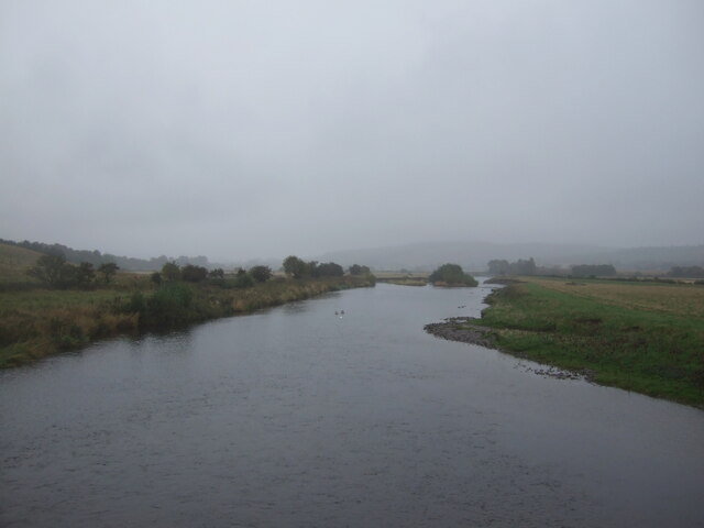
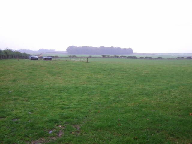
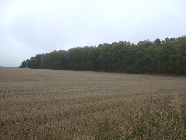
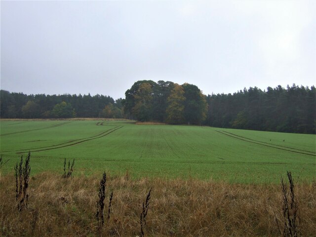
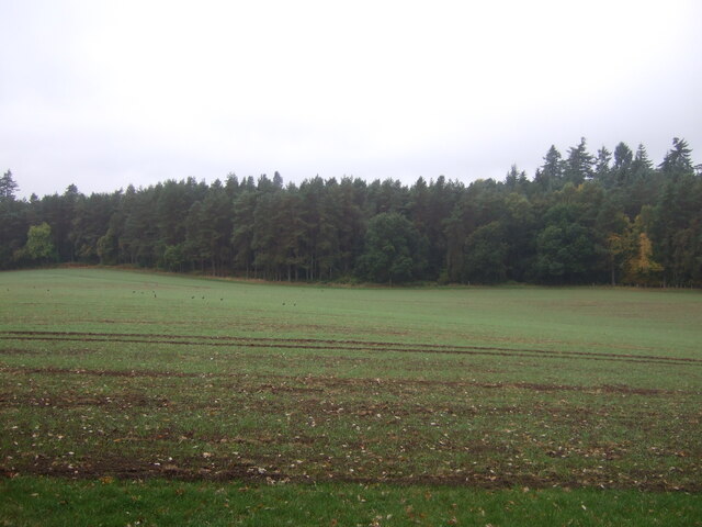
Crag Wood is a beautiful forest located in Roxburghshire, Scotland. It is situated near the town of Hawick and covers an area of approximately 200 acres. The wood is known for its diverse range of flora and fauna, making it a popular destination for nature lovers and wildlife enthusiasts.
The woodland is predominantly composed of native trees such as oak, birch, and ash, which creates a rich and varied ecosystem. The forest floor is adorned with an array of wildflowers, including bluebells and primroses, adding to the natural beauty of the area. Crag Wood is also home to a number of rare plant species, making it an important site for conservation.
The forest provides a habitat for a wide range of wildlife, including red squirrels, roe deer, and a variety of bird species. Birdwatchers can spot woodland birds such as woodpeckers, owls, and various songbirds. The wood is also known for its population of bats, which can be seen swooping through the trees at dusk.
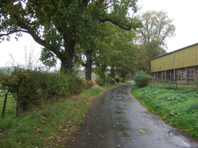
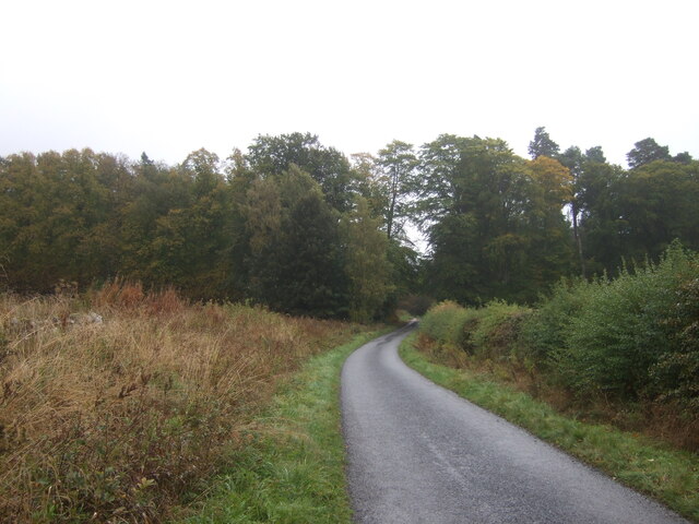
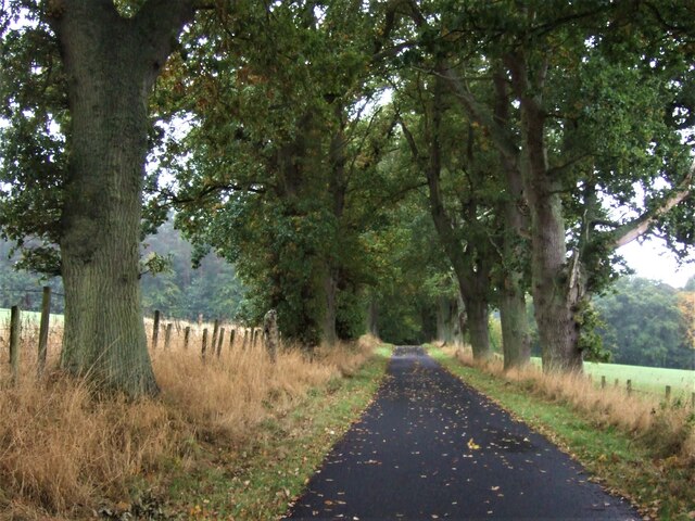
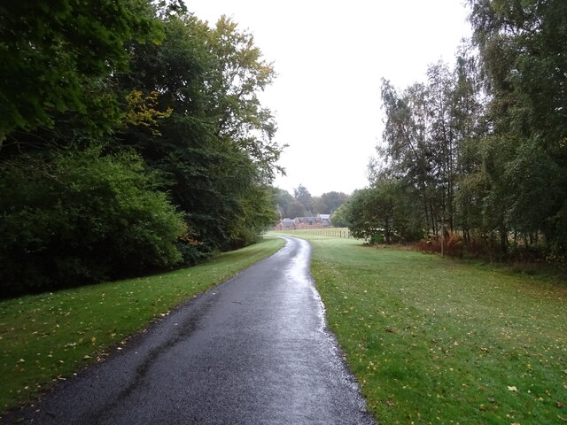
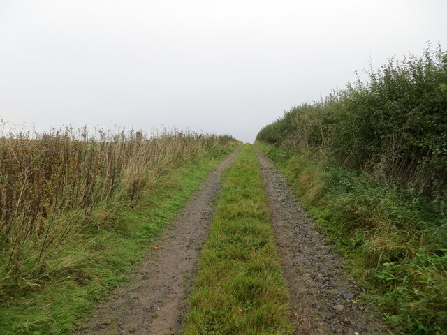
Crag Wood offers a network of walking trails, allowing visitors to explore the forest's wonders at their own pace. The paths vary in difficulty, catering to both casual strollers and more experienced hikers. Along the way, there are several viewpoints offering stunning vistas of the surrounding countryside.
In addition to its natural beauty, Crag Wood has historical significance. The remains of an ancient hillfort can be found within the woodland, hinting at the area's long history of human habitation.
Overall, Crag Wood is a captivating forest that combines natural beauty, biodiversity, and historical interest, making it a must-visit destination for those seeking to immerse themselves in the tranquility of nature.
If you have any feedback on the listing, please let us know in the comments section below.
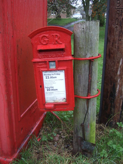
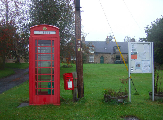
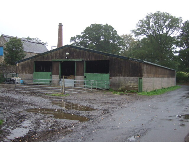
Crag Wood Images
Images are sourced within 2km of 55.528245/-2.5419602 or Grid Reference NT6526. Thanks to Geograph Open Source API. All images are credited.


Crag Wood is located at Grid Ref: NT6526 (Lat: 55.528245, Lng: -2.5419602)
Unitary Authority: The Scottish Borders
Police Authority: The Lothians and Scottish Borders
What 3 Words
///congas.caused.taster. Near Jedburgh, Scottish Borders
Nearby Locations
Related Wikis

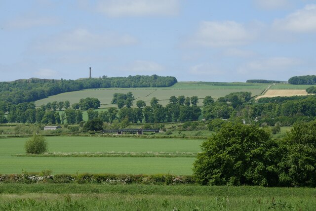
Waterloo Monument
The Waterloo Monument near Ancrum in the Scottish Borders is a 150-foot tower, built between 1817 and 1824 to commemorate the Battle of Waterloo. It was...

Peniel Heugh
Peniel Heugh (; 237 m) is a hill near Ancrum and Nisbet in the Scottish Borders area of Scotland. On it stands the Waterloo Monument. == Geology == The...

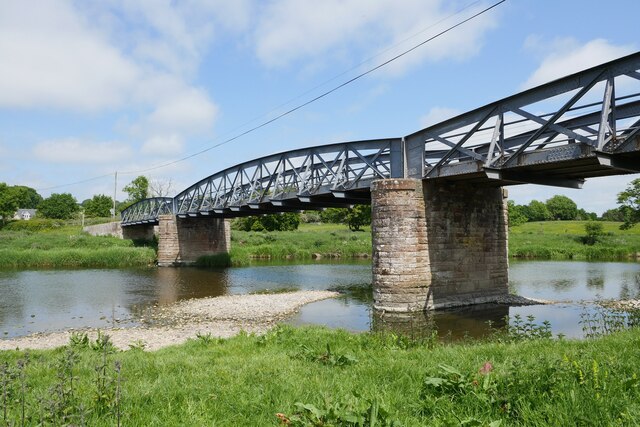
Nisbet railway station
Nisbet railway station served the hamlet of Nisbet, Scottish Borders, Scotland from 1856 to 1948, on the Jedburgh Railway. == History == The station opened...

Monteviot House
Monteviot House is the early 18th century home of the Marquess of Lothian, the politician better known as Michael Ancram. It is located on the River Teviot...
Nearby Amenities
Located within 500m of 55.528245,-2.5419602Have you been to Crag Wood?
Leave your review of Crag Wood below (or comments, questions and feedback).