Badger Wood

Wood, Forest in Berwickshire

Scotland

Badger Wood

Mature beech on fenceline south of Fairnybeds Wood This time in its summer garb!
Mature beech on fenceline south of Fairnybeds Wood Credit: ian shiell

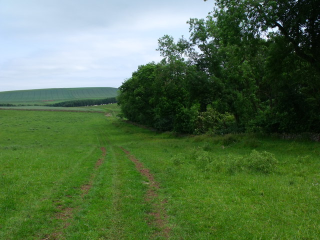
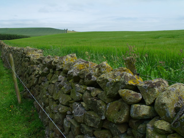
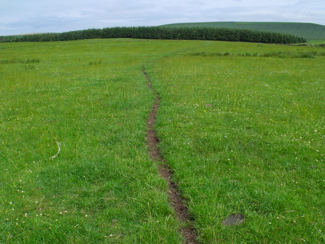
Badger Wood is a picturesque woodland located in the region of Berwickshire, situated in the southeastern part of Scotland. Covering an area of approximately 50 acres, the wood is renowned for its natural beauty and rich biodiversity.

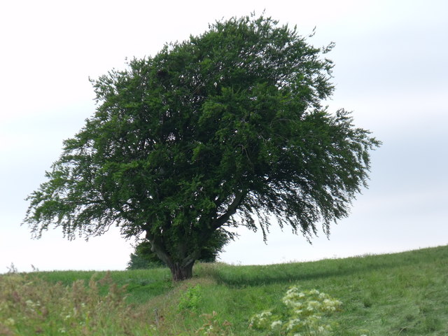
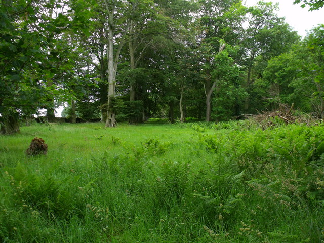
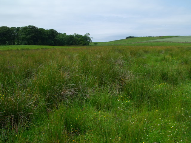
The wood is predominantly composed of mixed deciduous and coniferous trees, creating a diverse and vibrant ecosystem. The presence of oak, beech, and birch trees provides a dense canopy, forming a sheltered habitat for a variety of wildlife. The forest floor is adorned with a carpet of ferns, bluebells, and mosses, adding to its enchanting allure.

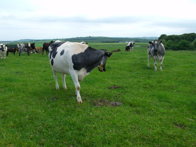
Badger Wood is home to a plethora of fauna, including several endangered and rare species. Visitors may have the opportunity to spot red squirrels, roe deer, and even the elusive badgers that give the wood its name. Birdwatchers will be delighted by the abundance of species such as woodpeckers, owls, and various songbirds.

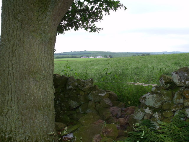
The wood offers a network of well-maintained walking trails, allowing visitors to immerse themselves in its natural splendor. These trails wind through the wood, offering panoramic views of the surrounding countryside and providing opportunities for peaceful reflection and relaxation.

Badger Wood is a popular destination for nature enthusiasts, hikers, and photographers seeking to capture the beauty of Scotland's diverse landscapes. Its accessibility and stunning scenery make it an ideal location for individuals and families to enjoy a day out in nature, whether they are seeking tranquility or an adventure amidst the trees.

If you have any feedback on the listing, please let us know in the comments section below.
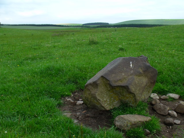
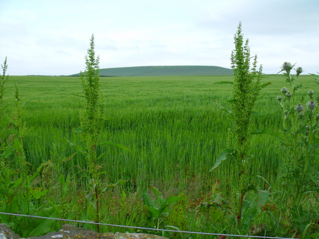
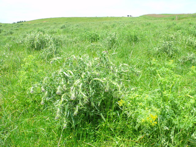
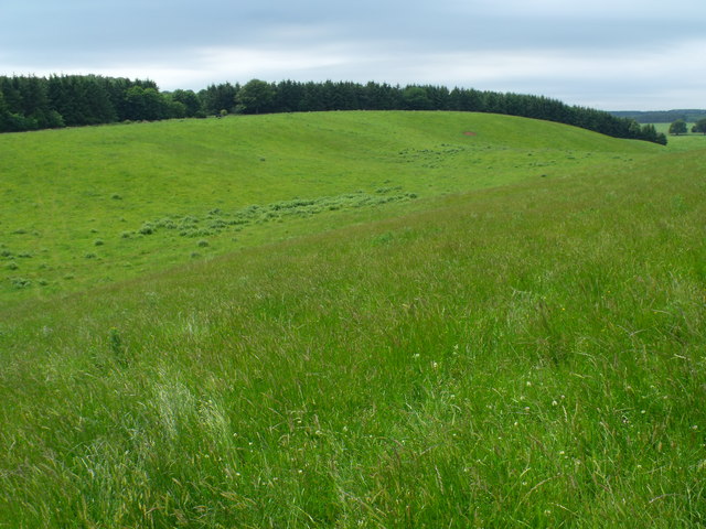
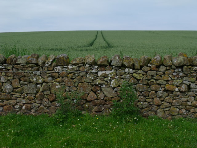
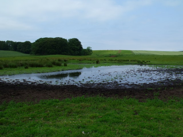
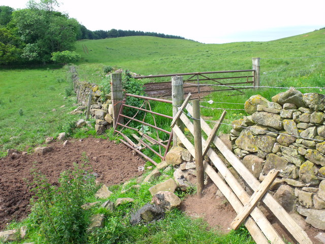
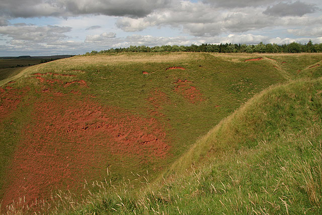
Badger Wood Images

Images are sourced within 2km of 55.70638/-2.5441219 or Grid Reference NT6546. Thanks to Geograph Open Source API. All images are credited.

Mature beech on fenceline south of Fairnybeds Wood This time in its summer garb!
Mature beech on fenceline south of Fairnybeds Wood
This time in its summer garb!
Is this anither yin o' thae Geographers Jessie? Herd of cows in occupation of point 191 seeking the breeze.
Is this anither yin o' thae Geographers Jessie?
Herd of cows in occupation of point 191 seeking the breeze.
Beechy clearing in Fairnybeds Wood near Macks Mill
Break in dyke bounding Fairnybeds Wood north of Macks Mill This may have originated as a route for wild animals such as deer but the wool on the single strand of wire shows that sheep have been the main traffic recently.
Break in dyke bounding Fairnybeds Wood north of Macks Mill
This may have originated as a route for wild animals such as deer but the wool on the single strand of wire shows that sheep have been the main traffic recently.
Pool in drainage system north of Macks Mill Looking uncommonly like the standard JCB manufactured duck pond seen on so many properties for the more efficient slaughter of wild fowl this one has actually been created by cattle fore-footing into the mud for a drink.
Pool in drainage system north of Macks Mill
Looking uncommonly like the standard JCB manufactured duck pond seen on so many properties for the more efficient slaughter of wild fowl this one has actually been created by cattle fore-footing into the mud for a drink.
A right hard stane south-east of Fairnybeds Wood Shining as if it has been used as a rubbing-post for a century or two and then as a bird-perch in the last month.
A right hard stane south-east of Fairnybeds Wood
Shining as if it has been used as a rubbing-post for a century or two and then as a bird-perch in the last month.
Sea of cereal east of Rumbleton Law  The safest place for the emblem - on the periphery amongst the other weeds?
Sea of cereal east of Rumbleton Law
The safest place for the emblem - on the periphery amongst the other weeds?
The national emblem in a sorry state National pride is one thing but beef can't eat thistles. These ones have been touched with poison.
The national emblem in a sorry state
National pride is one thing but beef can't eat thistles. These ones have been touched with poison.
Boggy ground east of Fairnybeds Wood
Saddle between point 191 and Fairnybeds Wood Looking towards Shining Pool though I do not know what that feature is - probably not a pool judging by the contours.
Saddle between point 191 and Fairnybeds Wood
Looking towards Shining Pool though I do not know what that feature is - probably not a pool judging by the contours.
Farm track on north side of Fairnybeds Wood
Drystane dyke swamped by barley crop
Cow path on meadowland north of Macks Mill
Boggy drainage line east of Fairnybeds Wood
Boggy farmland north of Macks Mill This random pattern of rocks looks like an attempt to hard-bottom the ground to allow tractors to get through.
Boggy farmland north of Macks Mill
This random pattern of rocks looks like an attempt to hard-bottom the ground to allow tractors to get through.
Drystane dyke north of Macks Mill With some rock types a baby could build a dyke but this has the touch of a master - sadly anonymous and forgotten.
Drystane dyke north of Macks Mill
With some rock types a baby could build a dyke but this has the touch of a master - sadly anonymous and forgotten.
Pond south-east of Fairnybeds Wood near Fawside No pond is marked on the map so maybe this is a seasonal feature.
Pond south-east of Fairnybeds Wood near Fawside
No pond is marked on the map so maybe this is a seasonal feature.
Three-way gateway north of Macks Mill
Show me another place!

Badger Wood is located at Grid Ref: NT6546 (Lat: 55.70638, Lng: -2.5441219)

Unitary Authority: The Scottish Borders

Police Authority: The Lothians and Scottish Borders

What 3 Words

///intervals.slows.plump. Near Earlston, Scottish Borders

Nearby Locations

Badger Wood

Related Wikis

Gordon (NBR) railway station

Gordon railway station served the village of Gordon, Scottish Borders, Scotland from 1863 to 1948 on the Berwickshire Railway. == History == The station...

Houndslow

Houndslow is a hamlet in the Scottish Borders area of Scotland. It is situated on the A697, about 5 miles (8.0 km) west of Greenlaw, and 3 miles (4.8 km...

Bassendean, Scottish Borders

Bassendean is a village in the Scottish Borders area of Scotland, 4 kilometres (2.5 mi) south of Westruther and 3 kilometres (1.9 mi) north-west of Gordon...

Gordon, Scottish Borders

Gordon is a village in the Scottish Borders area of Scotland, within the historic county of Berwickshire. The village sits on the crossroads of the A6105...

Greenknowe Tower

Greenknowe Tower is a 16th-century tower house, located just west of the village of Gordon, in the Scottish Borders. Although a roofless ruin, the stonework...

Blackcastle Rings

The Blackcastle Rings are earthworks and a promontory fort in the Parish of Greenlaw, above the left bank of the Blackadder Water, in the Scottish Borders...

Gordon Moss

Gordon Moss is a nature reserve near Gordon, in the Scottish Borders area of Scotland, in the former Berwickshire. The moss is situated one mile west of...

Greenlaw Moor

Greenlaw Moor is an area of raised heather moorland in the foothills of the Lammermuir Hills, in the Scottish Borders area of Scotland. Located north of...

Nearby Amenities

Located within 500m of 55.70638,-2.5441219
Ele: 189
Natural: peak
Lat/Long: 55.7039507/-2.5463769
The data included in this document is from www.openstreetmap.org. The data is made available under ODbL.

Have you been to Badger Wood?

Leave your review of Badger Wood below (or comments, questions and feedback).