Stotshielmoor Plantation
Wood, Forest in Berwickshire
Scotland
Stotshielmoor Plantation
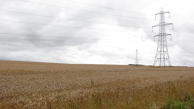
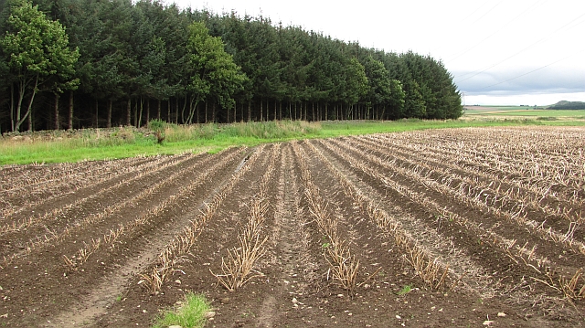
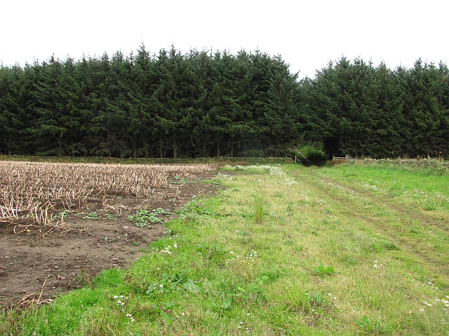
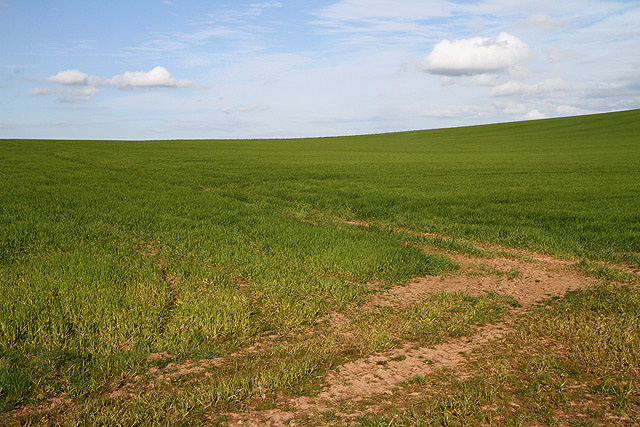
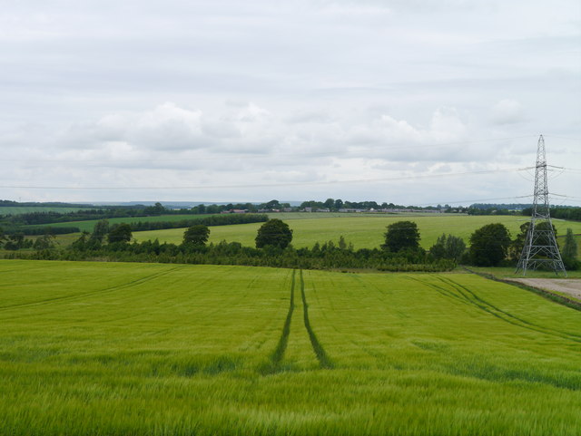
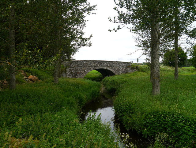
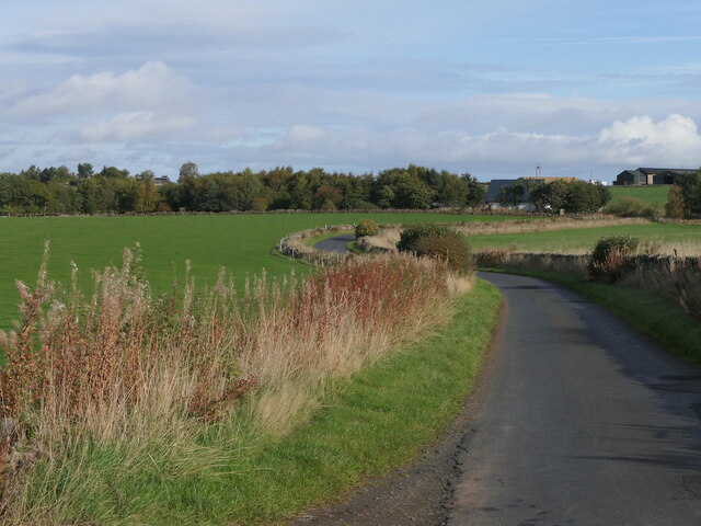
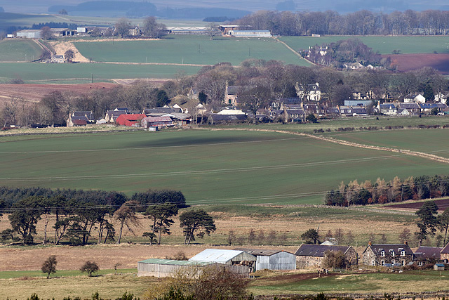
Stotshielmoor Plantation is a picturesque woodland located in Berwickshire, Scotland. With an area of approximately 300 acres, it is a significant natural resource in the region. The plantation is known for its diverse range of tree species, including Scots pine, oak, birch, and beech, among others. It is a valuable habitat for various wildlife species, including birds, mammals, and insects.
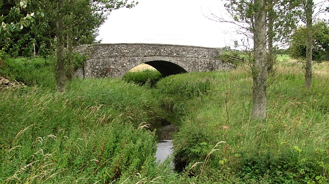
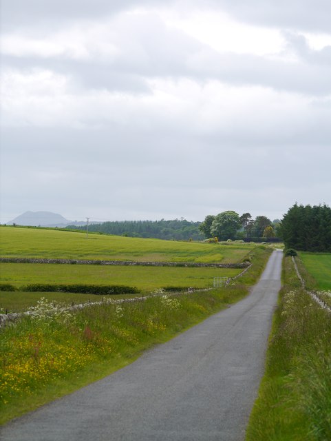
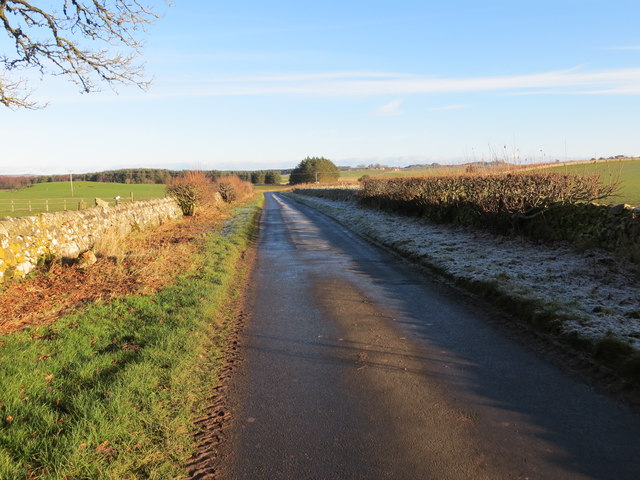
The woodland offers a tranquil and peaceful environment, making it a popular destination for nature enthusiasts and hikers. There are several well-maintained trails that wind through the plantation, allowing visitors to explore its beauty at their own pace. These trails offer breathtaking views of the surrounding countryside, with the Cheviot Hills visible in the distance.
Stotshielmoor Plantation is managed sustainably, with careful consideration given to the conservation of its natural resources. The plantation is periodically thinned to promote healthy growth and biodiversity. Additionally, deadwood and fallen trees are left in place to provide habitat for insects and small mammals.
The woodland is also home to a number of archaeological sites, including ancient settlements and burial mounds. These sites provide a glimpse into the rich history of the area, offering visitors a chance to connect with the past.
Overall, Stotshielmoor Plantation is a cherished natural asset in Berwickshire, offering a serene escape into the beauty of nature and a glimpse into the history of the region.
If you have any feedback on the listing, please let us know in the comments section below.
Stotshielmoor Plantation Images
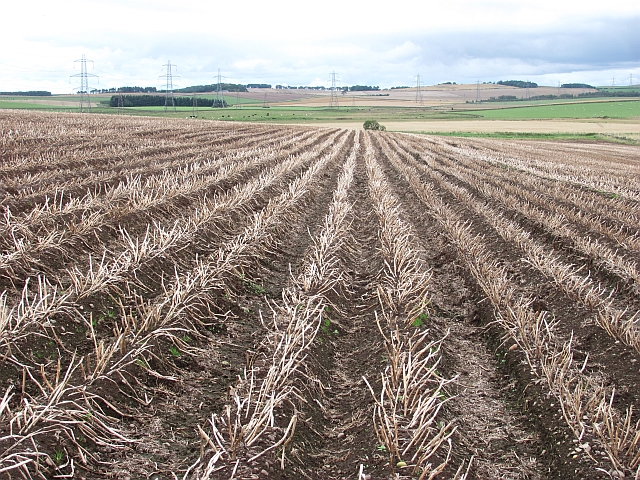
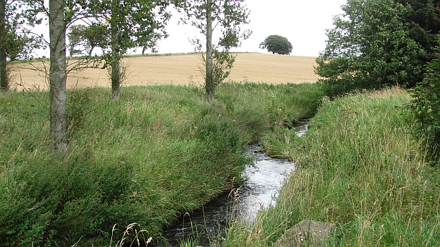
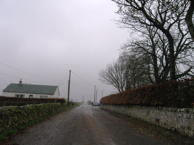
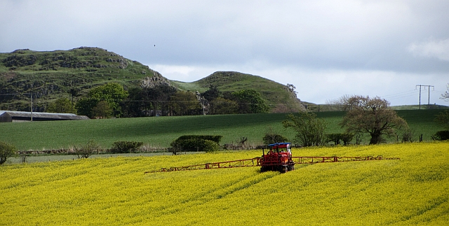
Images are sourced within 2km of 55.657099/-2.5434219 or Grid Reference NT6540. Thanks to Geograph Open Source API. All images are credited.
Stotshielmoor Plantation is located at Grid Ref: NT6540 (Lat: 55.657099, Lng: -2.5434219)
Unitary Authority: The Scottish Borders
Police Authority: The Lothians and Scottish Borders
What 3 Words
///depths.former.stir. Near Earlston, Scottish Borders
Related Wikis

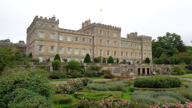
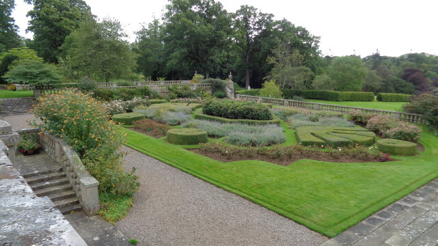
Mellerstain House
Mellerstain House is a stately home around 8 miles (13 kilometres) north of Kelso in the Borders, Scotland. It is currently the home of George Baillie...

Gordon, Scottish Borders
Gordon is a village in the Scottish Borders area of Scotland, within the historic county of Berwickshire. The village sits on the crossroads of the A6105...

Greenknowe Tower
Greenknowe Tower is a 16th-century tower house, located just west of the village of Gordon, in the Scottish Borders. Although a roofless ruin, the stonework...

Gordon Moss
Gordon Moss is a nature reserve near Gordon, in the Scottish Borders area of Scotland, in the former Berwickshire. The moss is situated one mile west of...
Nearby Amenities
Located within 500m of 55.657099,-2.5434219Have you been to Stotshielmoor Plantation?
Leave your review of Stotshielmoor Plantation below (or comments, questions and feedback).