Henryfield Strip
Wood, Forest in Berwickshire
Scotland
Henryfield Strip
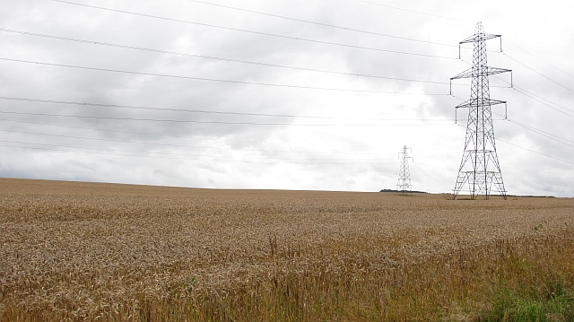
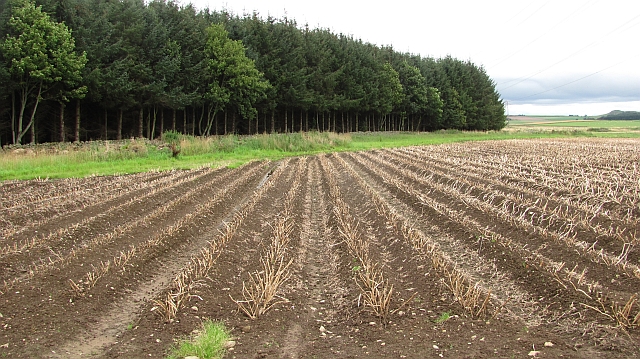
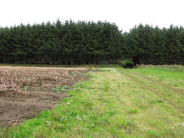
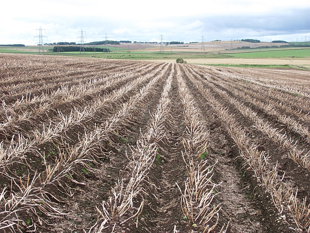
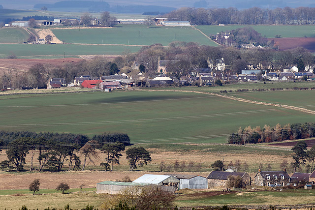
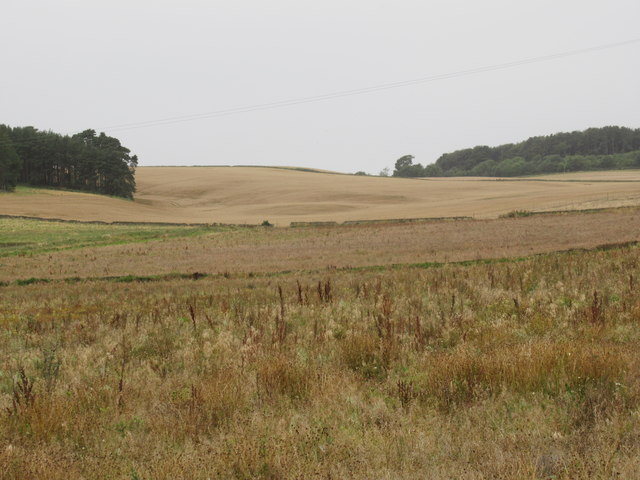
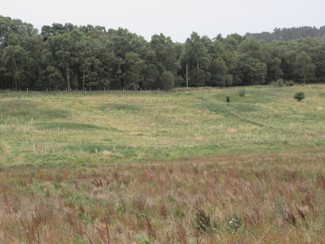
Henryfield Strip is a picturesque wood located in Berwickshire, Scotland. It is a well-known destination for nature enthusiasts and hikers due to its stunning forest landscape and diverse flora and fauna.
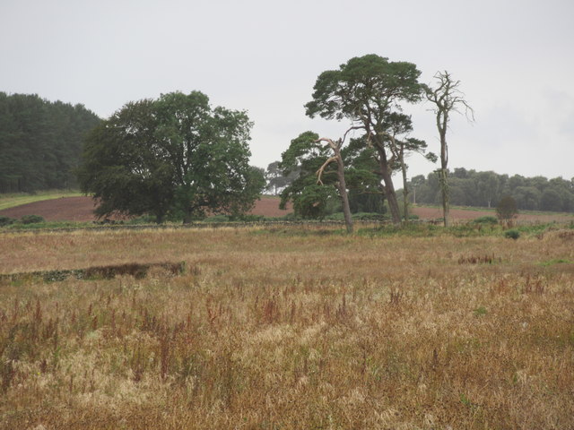
Covering an area of approximately 100 acres, Henryfield Strip is predominantly composed of native Scottish trees such as oak, beech, and pine. The lush greenery provides a tranquil and serene atmosphere, making it an ideal spot for relaxation and unwinding. The forest is also home to a wide variety of wildlife, including red squirrels, roe deer, and a plethora of bird species.
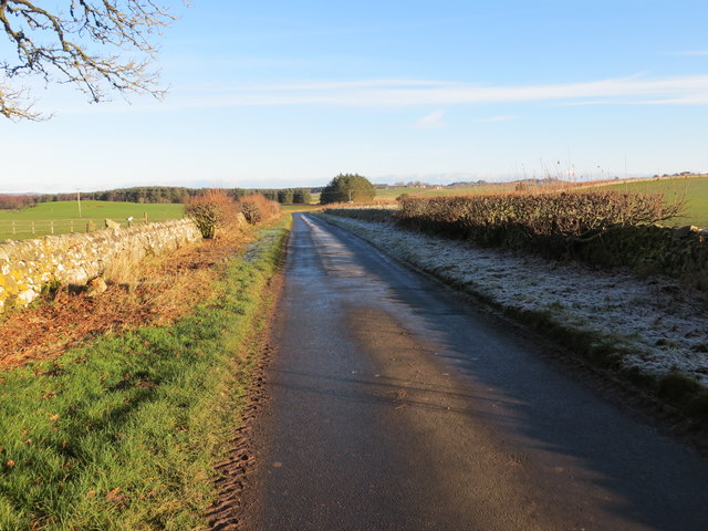
The wood is crisscrossed by several walking trails, which cater to both casual strollers and experienced hikers. These well-maintained paths offer visitors the opportunity to explore the natural beauty of the area, leading them through enchanting woodlands, babbling brooks, and open meadows. Additionally, there are designated picnic areas and benches where visitors can take a break and immerse themselves in the peaceful surroundings.
Henryfield Strip is not only a haven for nature lovers but also serves as an important ecological site. The forest plays a crucial role in maintaining the local ecosystem by providing habitat for wildlife, preventing soil erosion, and acting as a carbon sink.
In conclusion, Henryfield Strip in Berwickshire is a captivating wood that showcases the beauty of Scotland's natural landscapes. With its verdant forest, diverse wildlife, and well-maintained trails, it offers visitors a chance to connect with nature and enjoy the tranquil ambiance of the area.
If you have any feedback on the listing, please let us know in the comments section below.
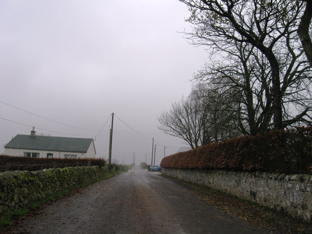
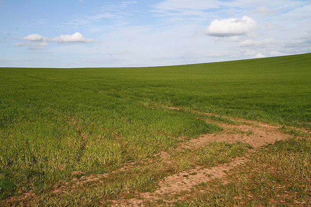
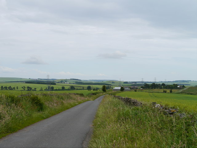
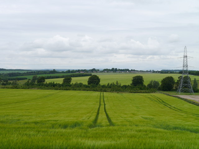
Henryfield Strip Images
Images are sourced within 2km of 55.654886/-2.5499548 or Grid Reference NT6540. Thanks to Geograph Open Source API. All images are credited.
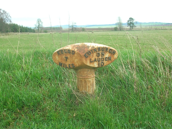
Henryfield Strip is located at Grid Ref: NT6540 (Lat: 55.654886, Lng: -2.5499548)
Unitary Authority: The Scottish Borders
Police Authority: The Lothians and Scottish Borders
What 3 Words
///remainder.shears.yesterday. Near Earlston, Scottish Borders
Related Wikis

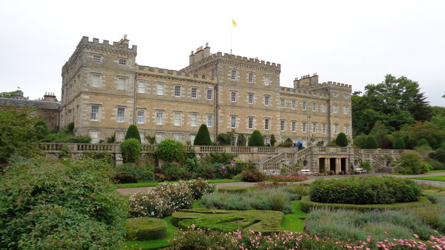
Mellerstain House
Mellerstain House is a stately home around 8 miles (13 kilometres) north of Kelso in the Borders, Scotland. It is currently the home of George Baillie...

Gordon, Scottish Borders
Gordon is a village in the Scottish Borders area of Scotland, within the historic county of Berwickshire. The village sits on the crossroads of the A6105...

Greenknowe Tower
Greenknowe Tower is a 16th-century tower house, located just west of the village of Gordon, in the Scottish Borders. Although a roofless ruin, the stonework...

Gordon Moss
Gordon Moss is a nature reserve near Gordon, in the Scottish Borders area of Scotland, in the former Berwickshire. The moss is situated one mile west of...

Gordon (NBR) railway station
Gordon railway station served the village of Gordon, Scottish Borders, Scotland from 1863 to 1948 on the Berwickshire Railway. == History == The station...

Nenthorn
Nenthorn is a parish and hamlet in the south of the historic county of Berwickshire in the Scottish Borders area of Scotland. It is included in the Floors...

Smailholm
Smailholm (Scots: Smailhowm) is a small village in the historic county of Roxburghshire in south-east Scotland. It is at grid reference NT648364 and straddles...

Hume Castle
Hume Castle is the heavily modified remnants of a late 12th- or early 13th-century castle of enceinte held by the powerful Hume or Home family, Wardens...
Nearby Amenities
Located within 500m of 55.654886,-2.5499548Have you been to Henryfield Strip?
Leave your review of Henryfield Strip below (or comments, questions and feedback).