Eden Plantation

Wood, Forest in Berwickshire

Scotland

Eden Plantation

The east section of the nave at Gordon, St. Michael's in Berwickshire. The door on the left is the entrance below the great stained glass windows. A mighty organ and its pipes, formerly in Prestonkirk Church dominates the area.
The east section of the nave at Gordon, St. Michael's in Berwickshire. Credit: James Denham

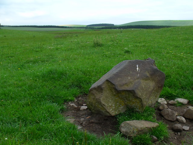
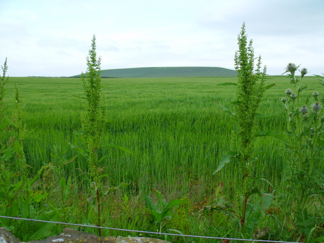
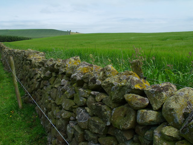
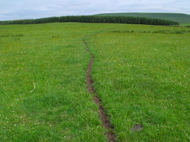
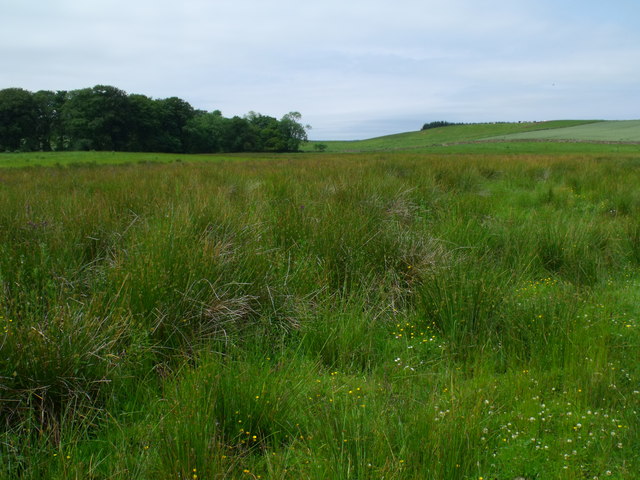
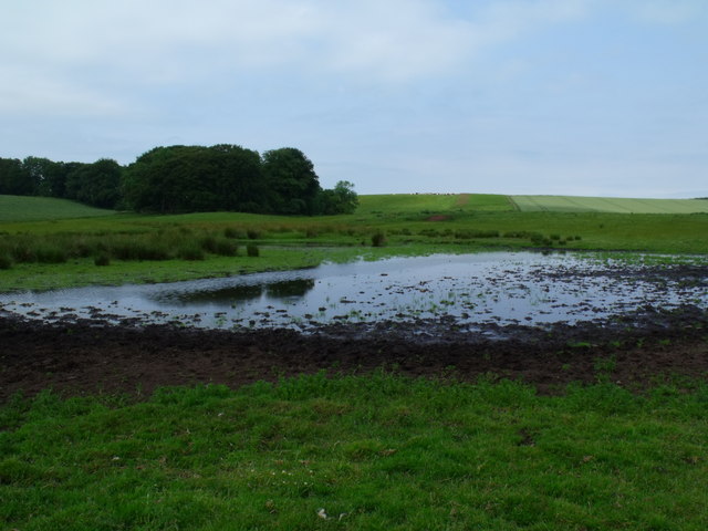
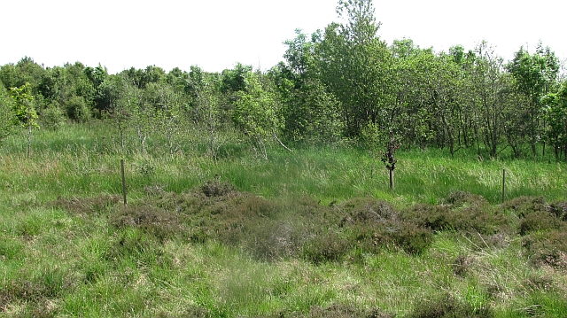
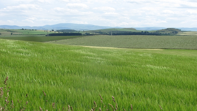
Eden Plantation, located in Berwickshire, Scotland, is a stunning woodland area known for its rich natural beauty and diverse range of plant species. Situated in the southern part of the country, this plantation covers a vast area of woodland, making it a popular destination for nature enthusiasts and outdoor adventurers alike.

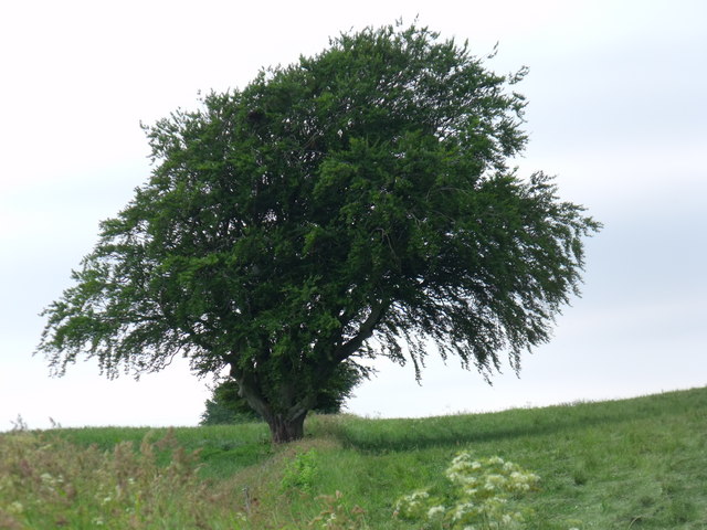
The woodland in Eden Plantation is primarily made up of various types of trees, including oak, birch, beech, and pine. These trees create a dense and lush forest canopy, providing a habitat for a wide range of wildlife, such as deer, squirrels, and numerous bird species. The plantation is also home to several small streams and ponds, adding to its picturesque charm.

Visitors to Eden Plantation can explore the area through a network of well-maintained walking trails, allowing them to immerse themselves in the tranquility of nature. The trails offer breathtaking views of the surrounding landscape, with opportunities to spot rare plant species and observe wildlife in their natural habitat.

In addition to its natural beauty, Eden Plantation also has historical significance. The area has been managed and maintained by the local community for generations, with some parts of the woodland dating back centuries. The plantation has been carefully preserved, ensuring the protection of its unique ecosystem and allowing future generations to enjoy its natural wonders.

Overall, Eden Plantation in Berwickshire is a picturesque woodlands area that offers visitors an escape from the hustle and bustle of everyday life. It provides a haven for both nature lovers and those seeking a peaceful retreat in the heart of nature.

If you have any feedback on the listing, please let us know in the comments section below.

Eden Plantation Images

Images are sourced within 2km of 55.683487/-2.5437243 or Grid Reference NT6543. Thanks to Geograph Open Source API. All images are credited.

The east section of the nave at Gordon, St. Michael's in Berwickshire. The door on the left is the entrance below the great stained glass windows. A mighty organ and its pipes, formerly in Prestonkirk Church dominates the area.
The east section of the nave at Gordon, St. Michael's in Berwickshire.
The door on the left is the entrance below the great stained glass windows. A mighty organ and its pipes, formerly in Prestonkirk Church dominates the area.
Mature beech on fenceline south of Fairnybeds Wood This time in its summer garb!
Mature beech on fenceline south of Fairnybeds Wood
This time in its summer garb!
Pool in drainage system north of Macks Mill Looking uncommonly like the standard JCB manufactured duck pond seen on so many properties for the more efficient slaughter of wild fowl this one has actually been created by cattle fore-footing into the mud for a drink.
Pool in drainage system north of Macks Mill
Looking uncommonly like the standard JCB manufactured duck pond seen on so many properties for the more efficient slaughter of wild fowl this one has actually been created by cattle fore-footing into the mud for a drink.
A right hard stane south-east of Fairnybeds Wood Shining as if it has been used as a rubbing-post for a century or two and then as a bird-perch in the last month.
A right hard stane south-east of Fairnybeds Wood
Shining as if it has been used as a rubbing-post for a century or two and then as a bird-perch in the last month.
Sea of cereal east of Rumbleton Law  The safest place for the emblem - on the periphery amongst the other weeds?
Sea of cereal east of Rumbleton Law
The safest place for the emblem - on the periphery amongst the other weeds?
Boggy ground east of Fairnybeds Wood
Drystane dyke swamped by barley crop
Cow path on meadowland north of Macks Mill
Boggy drainage line east of Fairnybeds Wood
Pond south-east of Fairnybeds Wood near Fawside No pond is marked on the map so maybe this is a seasonal feature.
Pond south-east of Fairnybeds Wood near Fawside
No pond is marked on the map so maybe this is a seasonal feature.
Silage crop, Fawside It is a busy time, catching a short dry spell to cut and collect grass for winter feed. Soon these fields will be cut.
Silage crop, Fawside
It is a busy time, catching a short dry spell to cut and collect grass for winter feed. Soon these fields will be cut.
Gordon Community Woodland A path in a rapidly growing broadleaf  woodland.
Gordon Community Woodland
A path in a rapidly growing broadleaf woodland.
Gordon Community Woodland Now rapidly growing. This is a damp area with alders. The nearby road has flood warning signs on it.
Gordon Community Woodland
Now rapidly growing. This is a damp area with alders. The nearby road has flood warning signs on it.
Barley, East Gordon A view of The Cheviot.
Barley, East Gordon
A view of The Cheviot.
Cultivating, Rowantree Ground working near Gordon. The field is being prepared for growing a winter forage crop such as turnips or kale.
Cultivating, Rowantree
Ground working near Gordon. The field is being prepared for growing a winter forage crop such as turnips or kale.
Beware Of The Trains A view along the former North British Railway trackbed near Gordon.
Beware Of The Trains
A view along the former North British Railway trackbed near Gordon.
Barley, Fawside My second attempt to get into NT6545, the first was when it was still unvisited, but I was stopped by growing crops. Now there is no longer an access restriction, the barley has been harvested and the neighbouring silage grass fields are being grazed.

September is the time to visit those awkward grid squares, but winter crops are becoming more and more popular, and the stubble can be ploughed soon after harvest, as is the usual practice in England.
Barley, Fawside
My second attempt to get into NT6545, the first was when it was still unvisited, but I was stopped by growing crops. Now there is no longer an access restriction, the barley has been harvested and the neighbouring silage grass fields are being grazed. September is the time to visit those awkward grid squares, but winter crops are becoming more and more popular, and the stubble can be ploughed soon after harvest, as is the usual practice in England.
Wheat field and power lines Power lines leaving Eccles substation for Galashiels and Smeaton substation near Dalkeith.
Wheat field and power lines
Power lines leaving Eccles substation for Galashiels and Smeaton substation near Dalkeith.
Show me another place!

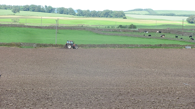
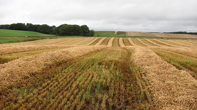
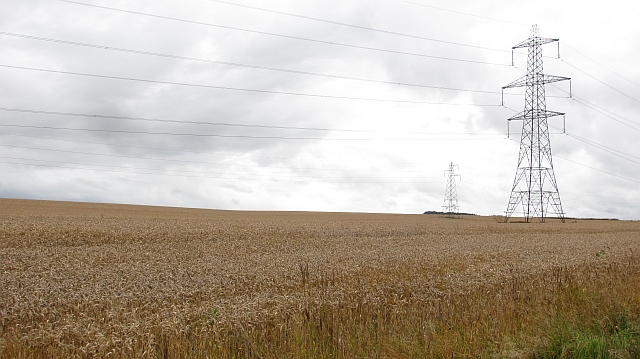
Eden Plantation is located at Grid Ref: NT6543 (Lat: 55.683487, Lng: -2.5437243)

Unitary Authority: The Scottish Borders

Police Authority: The Lothians and Scottish Borders

What 3 Words

///stables.bins.shiver. Near Earlston, Scottish Borders

Related Wikis

Nearby Amenities

Located within 500m of 55.683487,-2.5437243
Noexit: yes
Lat/Long: 55.6822263/-2.5470298
Noexit: yes
Lat/Long: 55.6824883/-2.5449169
Noexit: yes
Lat/Long: 55.6828664/-2.5445883
Noexit: yes
Lat/Long: 55.6828747/-2.5444558
Noexit: yes
Lat/Long: 55.6831683/-2.5445136
Noexit: yes
Lat/Long: 55.6834669/-2.5447525
Noexit: yes
Lat/Long: 55.6836655/-2.544686
Noexit: yes
Lat/Long: 55.6839169/-2.544992
Post Box
Ref: TD3 47
Lat/Long: 55.6823112/-2.5446472
Rowanlea
Place: hamlet
Lat/Long: 55.6827527/-2.544874
Tourism: picnic_site
Lat/Long: 55.6849118/-2.5444793
Power: pole
Lat/Long: 55.686866/-2.5482577
Power: pole
Lat/Long: 55.682621/-2.5466502
Power: pole
Lat/Long: 55.6829219/-2.5468178
Power: pole
Lat/Long: 55.6832637/-2.5469841
Power: pole
Lat/Long: 55.6835691/-2.5471531
Power: pole
Lat/Long: 55.6835895/-2.5464825
Power: pole
Lat/Long: 55.6836137/-2.5459313
Power: pole
Lat/Long: 55.6837181/-2.5452004
Power: pole
Lat/Long: 55.6836863/-2.5468004
Power: pole
Lat/Long: 55.6836591/-2.5483239
Power: pole
Lat/Long: 55.683619/-2.5500539
Power: pole
Lat/Long: 55.6833884/-2.5513574
Power: pole
Lat/Long: 55.6855054/-2.5501719
Power: pole
Lat/Long: 55.6861888/-2.549217
The data included in this document is from www.openstreetmap.org. The data is made available under ODbL.

Have you been to Eden Plantation?

Leave your review of Eden Plantation below (or comments, questions and feedback).