Kennels Plantation
Wood, Forest in Berwickshire
Scotland
Kennels Plantation
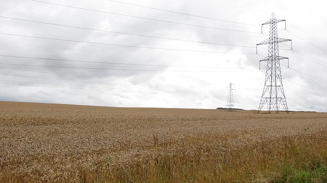
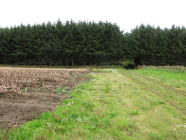
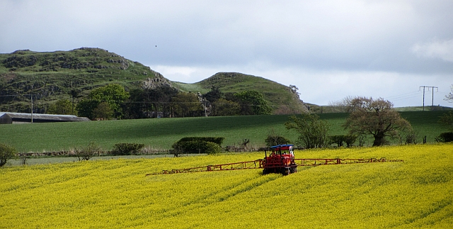
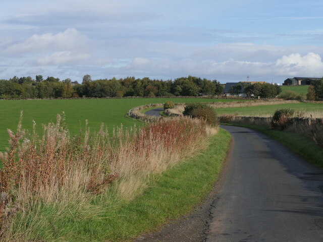
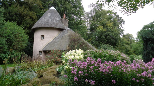
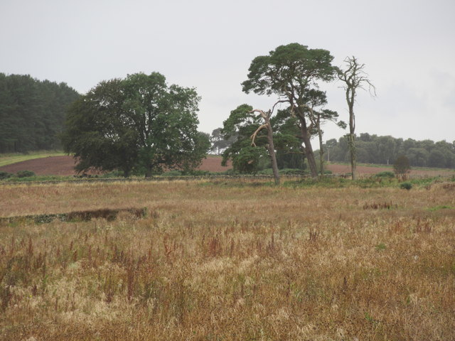
Kennels Plantation is a picturesque woodland located in the county of Berwickshire, Scotland. Spanning over a vast area, this plantation is renowned for its diverse range of trees and captivating natural beauty.
The woodland primarily consists of deciduous trees, including oak, beech, and birch, which provide a stunning backdrop throughout the year. The canopy of the trees creates a dense and shady environment, making it an ideal spot for a leisurely stroll or a peaceful picnic.
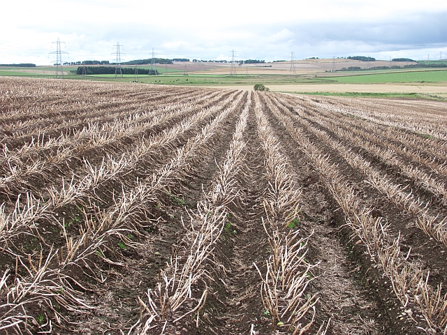
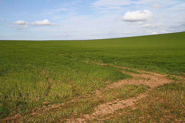
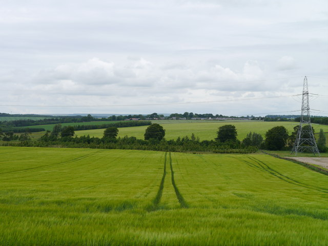
The plantation is home to a variety of wildlife, including squirrels, rabbits, and a wide range of bird species, making it a popular destination for nature enthusiasts and birdwatchers. The tranquil atmosphere of Kennels Plantation offers a perfect escape from the hustle and bustle of daily life, allowing visitors to immerse themselves in the serenity of nature.
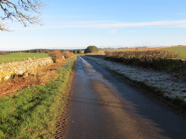
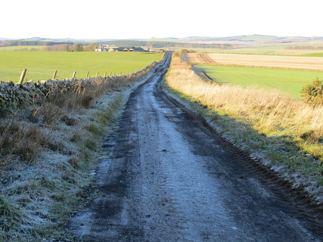
The plantation is well-maintained and features several well-marked walking trails, allowing visitors to explore the woodland at their own pace. The paths are relatively easy to navigate, making them suitable for individuals of all ages and fitness levels.
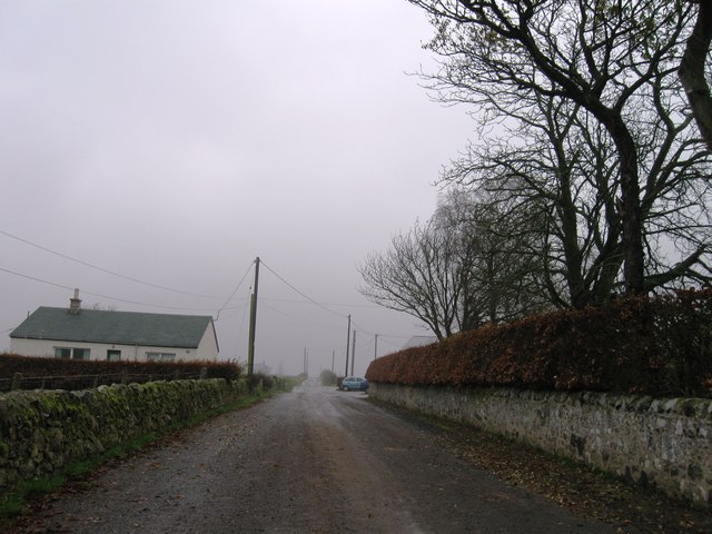
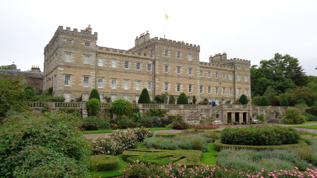
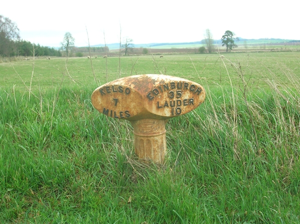
Kennels Plantation is also known for its historical significance, as it is believed to have served as a hunting ground for the local nobility in the past. The remnants of old hunting lodges and gamekeepers' cottages can still be found within the woodland, providing a glimpse into the area's rich heritage.
Overall, Kennels Plantation in Berwickshire is a must-visit destination for nature lovers, offering a unique blend of natural beauty, tranquility, and historical charm.
If you have any feedback on the listing, please let us know in the comments section below.
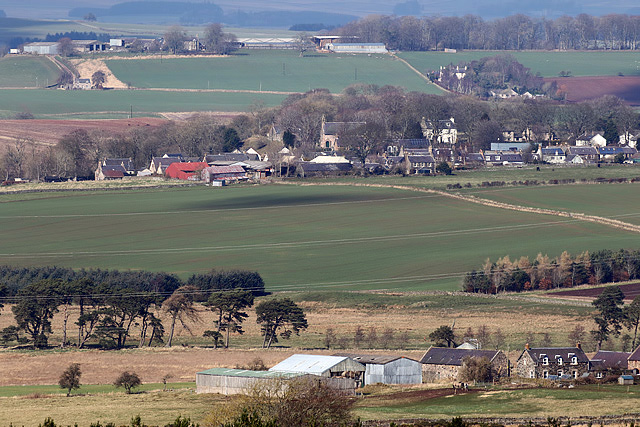
Kennels Plantation Images
Images are sourced within 2km of 55.65383/-2.5450771 or Grid Reference NT6540. Thanks to Geograph Open Source API. All images are credited.
Kennels Plantation is located at Grid Ref: NT6540 (Lat: 55.65383, Lng: -2.5450771)
Unitary Authority: The Scottish Borders
Police Authority: The Lothians and Scottish Borders
What 3 Words
///strain.fenced.wordplay. Near Earlston, Scottish Borders
Related Wikis

Mellerstain House
Mellerstain House is a stately home around 8 miles (13 kilometres) north of Kelso in the Borders, Scotland. It is currently the home of George Baillie...

Gordon, Scottish Borders
Gordon is a village in the Scottish Borders area of Scotland, within the historic county of Berwickshire. The village sits on the crossroads of the A6105...

Greenknowe Tower
Greenknowe Tower is a 16th-century tower house, located just west of the village of Gordon, in the Scottish Borders. Although a roofless ruin, the stonework...

Gordon Moss
Gordon Moss is a nature reserve near Gordon, in the Scottish Borders area of Scotland, in the former Berwickshire. The moss is situated one mile west of...

Nenthorn
Nenthorn is a parish and hamlet in the south of the historic county of Berwickshire in the Scottish Borders area of Scotland. It is included in the Floors...

Gordon (NBR) railway station
Gordon railway station served the village of Gordon, Scottish Borders, Scotland from 1863 to 1948 on the Berwickshire Railway. == History == The station...

Smailholm
Smailholm (Scots: Smailhowm) is a small village in the historic county of Roxburghshire in south-east Scotland. It is at grid reference NT648364 and straddles...

Hume Castle
Hume Castle is the heavily modified remnants of a late 12th- or early 13th-century castle of enceinte held by the powerful Hume or Home family, Wardens...
Related Videos

Pinewood House, Scotland Family Vaycay Day 5
The final day of the family vaycay at Pinewood House, Scotland. If anyone has watched any of the family vaycay videos, and are ...


Pinewood House, Scotland Family Vaycay Day 1
Pinewood House, Gordon, Scotland So one thing dad wanted to do is to make sure we all had one holiday together, with no ...
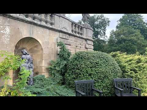
Mellerstain House
One of Scotland's finest stately homes with stunning Robert Adam interiors, gardens, parkland, cafe and holiday cottages. Skócia ...
Nearby Amenities
Located within 500m of 55.65383,-2.5450771Have you been to Kennels Plantation?
Leave your review of Kennels Plantation below (or comments, questions and feedback).