Edfast Plantation
Wood, Forest in Berwickshire
Scotland
Edfast Plantation
Edfast Plantation is a sprawling wood and forest located in the picturesque region of Berwickshire, Scotland. It is known for its lush greenery, diverse wildlife, and tranquil atmosphere, making it a popular destination for nature enthusiasts and outdoor lovers.
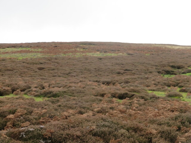
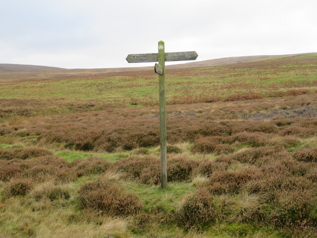
Covering an extensive area of land, Edfast Plantation is home to a variety of tree species, including oak, ash, birch, and beech, which create a rich and vibrant tapestry of foliage throughout the seasons. The plantation is meticulously maintained, with well-marked trails that allow visitors to explore its beauty while ensuring minimal impact on the ecosystem.
The forest boasts an impressive array of wildlife, providing a habitat for numerous species. Birdwatchers can spot a wide range of avian creatures, such as woodpeckers, owls, and various songbirds. Mammals like red squirrels, deer, and foxes can also be observed in their natural habitats, adding to the allure of the plantation.
Edfast Plantation offers visitors a peaceful retreat from the hustle and bustle of everyday life. The serenity of the surroundings, coupled with the fresh air and breathtaking scenery, make it an ideal location for hiking, picnicking, and nature photography. The plantation is also a popular spot for educational purposes, with organized events and workshops focused on environmental conservation and the importance of sustainable forestry.
Overall, Edfast Plantation in Berwickshire is a haven for nature lovers, providing an immersive experience in the heart of Scotland's natural beauty. Its carefully preserved woodlands, diverse wildlife, and tranquil ambiance make it a must-visit destination for anyone seeking solace in the great outdoors.
If you have any feedback on the listing, please let us know in the comments section below.
Edfast Plantation Images
Images are sourced within 2km of 55.79187/-2.5471157 or Grid Reference NT6555. Thanks to Geograph Open Source API. All images are credited.
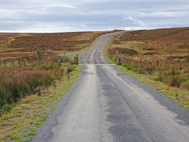
![Woodland at Scarlaw Looking east from the Fallago Rig Wind Farm access road, east of Twinlaw. Watch Water Reservoir can be seen through the trees, and the hill in the right distance is Dirrington Great Law [5.3km].](https://s3.geograph.org.uk/geophotos/07/33/96/7339667_357c3e96.jpg)
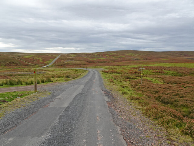
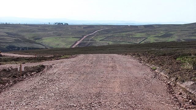
![The Fallago Rig Wind Farm access road Heading north over the Lammermuir hills just over 320m [&gt;1000feet]. Not the shortest route from &#039;civilization&#039; but much better for the local communities.](https://s1.geograph.org.uk/geophotos/07/33/96/7339677_5b1e5c1e.jpg)
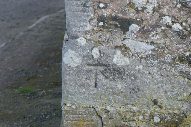
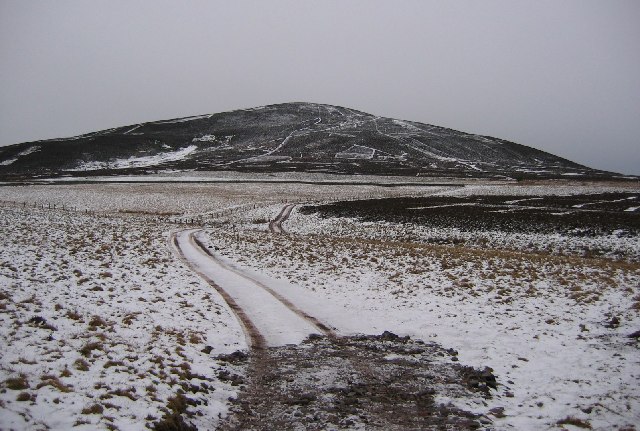
![Memorial [?] pillar on Dunside Hill Just off the Fallago Rig Wind Farm access road at the col between Dunside Hill and Scar Law. Inscribed J.O.H. 1994, but I have yet to find anything more about it.](https://s2.geograph.org.uk/geophotos/07/34/05/7340550_67e7e0d8.jpg)
Edfast Plantation is located at Grid Ref: NT6555 (Lat: 55.79187, Lng: -2.5471157)
Unitary Authority: The Scottish Borders
Police Authority: The Lothians and Scottish Borders
What 3 Words
///nightfall.secure.voting. Near Duns, Scottish Borders
Nearby Locations
Related Wikis

Watch Water
The Watch Water is a river in the Scottish Borders area of Scotland. It rises in the Lammermuir Hills, around 8 kilometres (5.0 mi) west of Longformacus...

Longformacus
Longformacus (Scottish Gaelic: Longphort Mhacais) is a small village in Berwickshire in the Scottish Borders area of Scotland. It is around 10 kilometres...
Dirrington Great Law
Dirrington Great Law is a hill in the Scottish Borders area of Scotland, in the former county of Berwickshire. The summit is around 2.5 kilometres (1.6...

Longformacus House
Longformacus House is a mansion near the village of Longformacus, Scottish Borders, Scotland. == History == The estate was once owned by the Earls of...
Nearby Amenities
Located within 500m of 55.79187,-2.5471157Have you been to Edfast Plantation?
Leave your review of Edfast Plantation below (or comments, questions and feedback).