West Woods of Ethie
Wood, Forest in Angus
Scotland
West Woods of Ethie
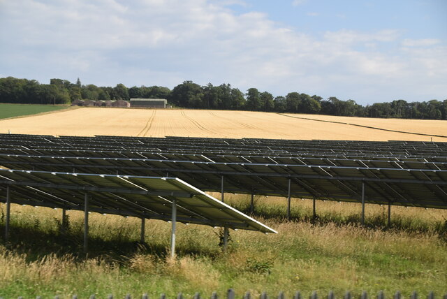
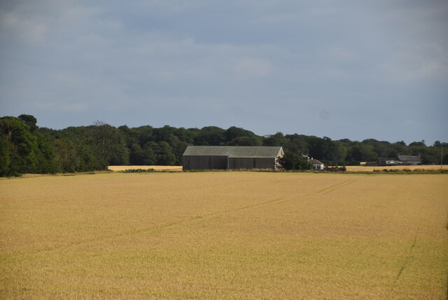
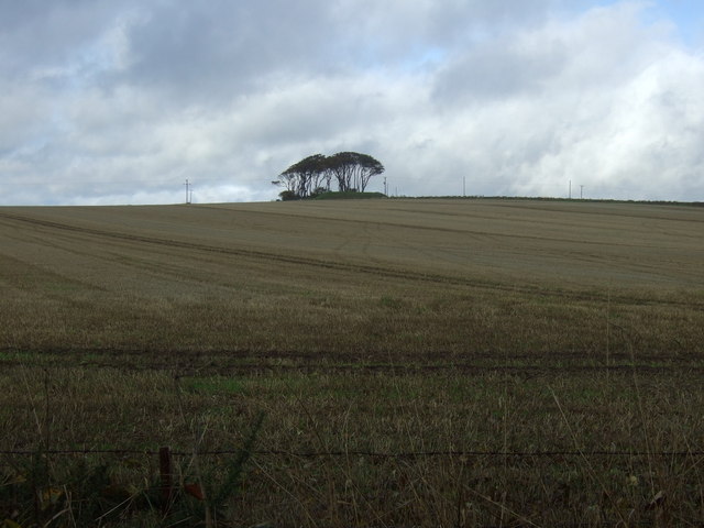
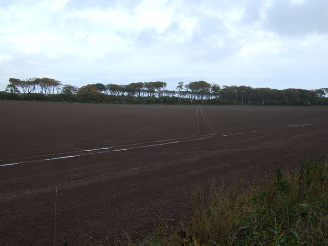
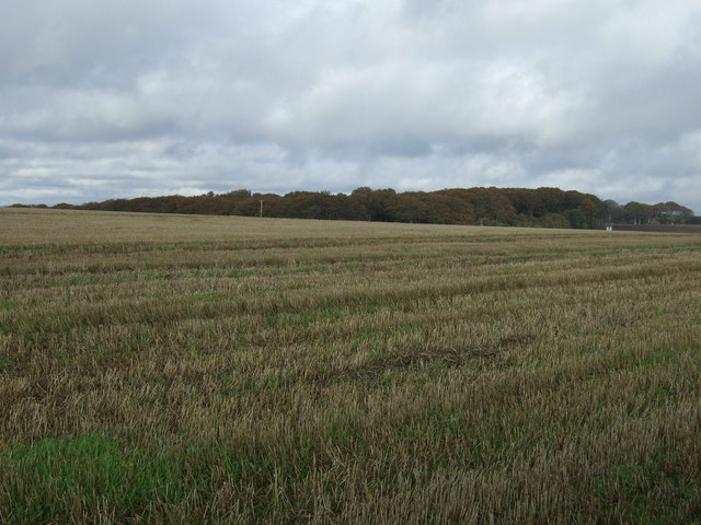
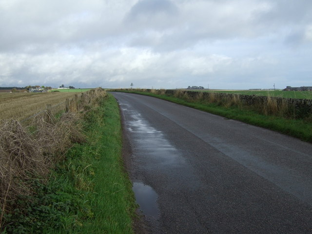
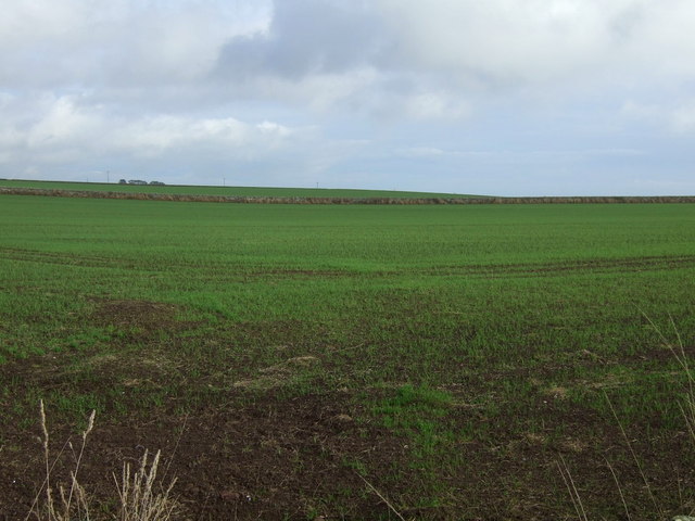
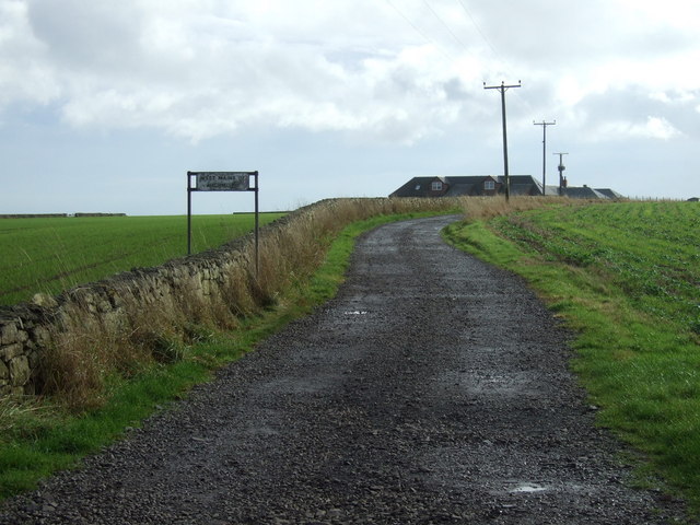
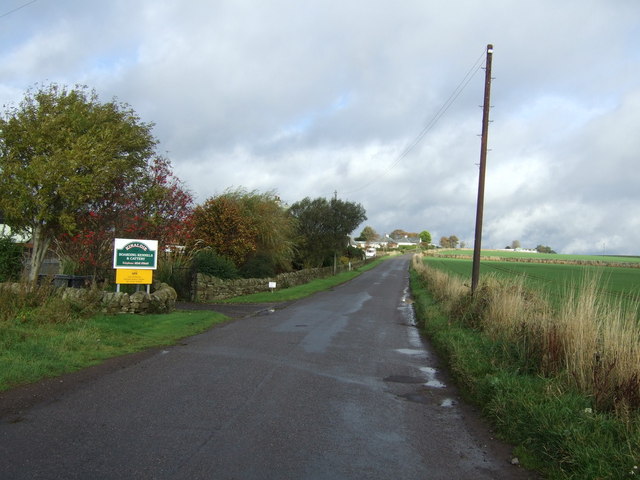
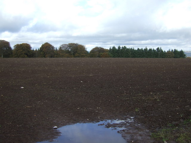
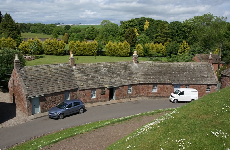
West Woods of Ethie is a picturesque woodland located in the county of Angus, Scotland. Covering an area of approximately 200 hectares, it forms part of the larger Ethie Estate, which has a long and rich history dating back to the 14th century. The woods are situated near the coastal village of Ethiehaven and are easily accessible to visitors.
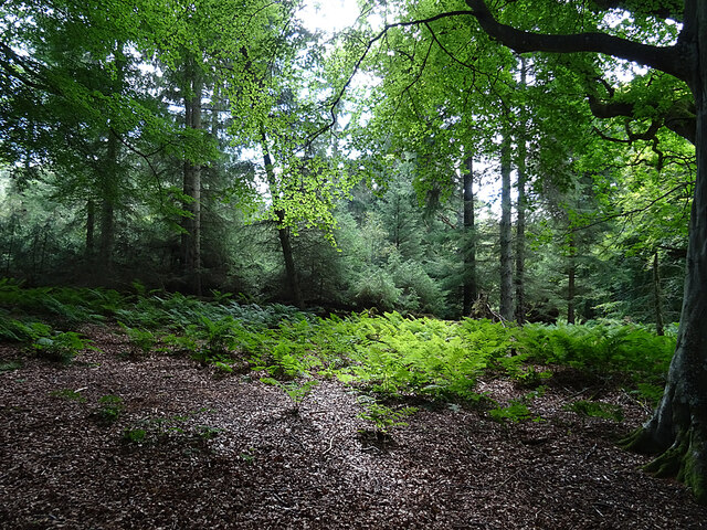
As one of the largest remaining ancient oak woodlands in Angus, West Woods of Ethie is a haven for wildlife and biodiversity. The woodland is dominated by a mix of native tree species, including oak, birch, beech, and hazel, creating a diverse and enchanting environment. The canopy of towering oak trees provides a shady canopy, while the undergrowth is filled with a variety of wildflowers, ferns, and mosses.
The woods are home to a wide range of bird species, including woodpeckers, owls, and various songbirds, making it a paradise for birdwatchers. Red squirrels can also be spotted darting between the trees, adding to the charm of the woodland.
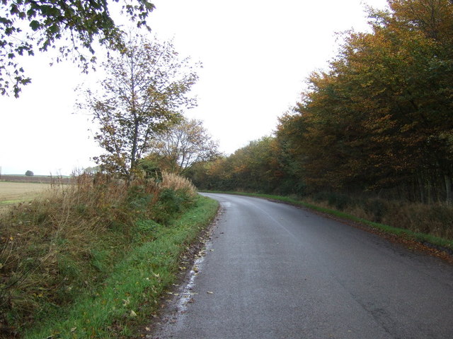
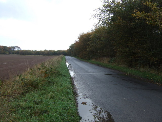
Walking trails have been carefully established throughout the woods, allowing visitors to explore the area at their own pace. These trails offer stunning views of the surrounding countryside and provide an opportunity to immerse oneself in the tranquility of nature. The woods also feature picnic areas and benches, allowing visitors to take a break and enjoy the peaceful surroundings.
West Woods of Ethie is managed by the Ethie Estate, which is committed to the preservation and conservation of the woodland. Through careful stewardship and sustainable practices, the estate ensures that this natural treasure remains a cherished destination for locals and visitors alike.
If you have any feedback on the listing, please let us know in the comments section below.
West Woods of Ethie Images
Images are sourced within 2km of 56.596636/-2.5587447 or Grid Reference NO6545. Thanks to Geograph Open Source API. All images are credited.
West Woods of Ethie is located at Grid Ref: NO6545 (Lat: 56.596636, Lng: -2.5587447)
Unitary Authority: Angus
Police Authority: Tayside
What 3 Words
///patrol.couches.satellite. Near Arbroath, Angus
Nearby Locations
Related Wikis

Marywell
Marywell is a village in Angus, Scotland, that is north of Arbroath, in the parish of St Vigeans. == References == == Sources == Marywell in the Gazetteer...

Cauldcots railway station
Cauldcots railway station served the hamlet of Cauldcots, Angus, Scotland, from 1883 to 1930 on the North British, Arbroath and Montrose Railway. ��2...

Letham Grange railway station
Letham Grange railway station served the Letham Grange estate, Angus, Scotland from 1883 to 1959 on the North British, Arbroath and Montrose Railway....

Auchmithie
Auchmithie is a small fishing village in Angus, Scotland, three miles north east of the town of Arbroath. It sits atop a cliff of red sandstone conglomerate...
St Vigeans Sculptured Stones Museum
St Vigeans Sculptured Stones Museum, located in the Angus village of St Vigeans, houses an outstanding collection of Pictish carved stones. St Vigeans...
St Vigeans Church
St Vigeans Church is a Church of Scotland parish church, serving the parish of the ancient village of St Vigeans on the outskirts of Arbroath, Angus, Scotland...
St Vigeans
St Vigeans is a small village and parish in Angus, Scotland, immediately to the north of Arbroath. Originally rural, it is now more or less a suburb of...

Letham Grange estate
Letham Grange is a mansion and estate situated north of Arbroath, in Angus, Scotland. The mansion itself is category B listed. == History == The mansion...
Nearby Amenities
Located within 500m of 56.596636,-2.5587447Have you been to West Woods of Ethie?
Leave your review of West Woods of Ethie below (or comments, questions and feedback).