Easter Wood

Wood, Forest in Berwickshire

Scotland

Easter Wood

The Moor Road over Wether Law Gifford to Longformacus road.
The Moor Road over Wether Law Credit: Richard Webb

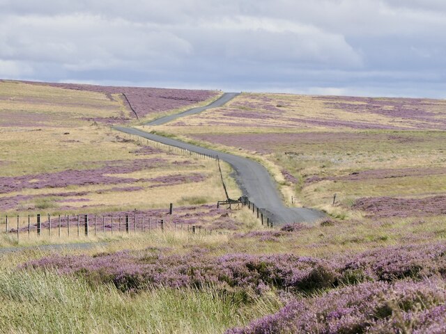
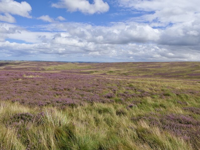
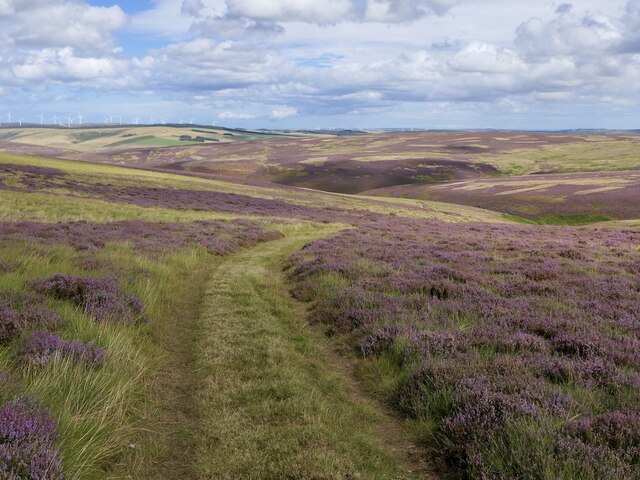
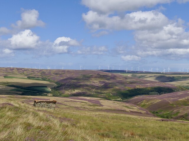
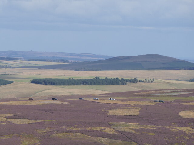
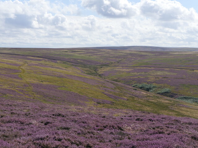
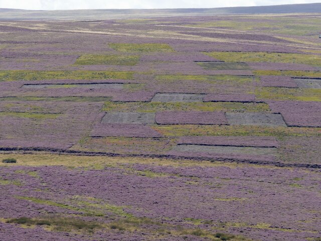
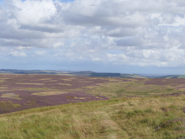
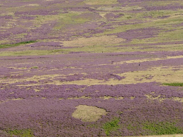
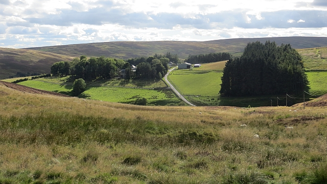
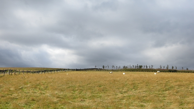
Easter Wood is a picturesque forest located in Berwickshire, Scotland. This ancient woodland covers a vast area of rolling hills and lush greenery, providing a tranquil and serene escape for visitors looking to immerse themselves in nature. The forest is home to a diverse range of flora and fauna, including native species such as oak, beech, and birch trees, as well as a variety of wildlife such as deer, foxes, and birds.

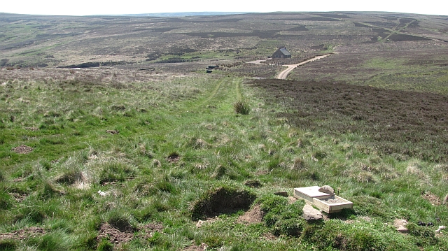
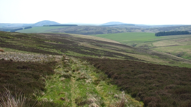
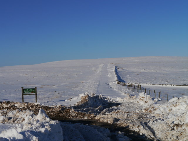
Easter Wood offers visitors the opportunity to explore its winding trails and pathways, perfect for hiking, cycling, and wildlife spotting. The forest is also a popular destination for birdwatchers, with a wide range of bird species to be spotted throughout the year.

In addition to its natural beauty, Easter Wood also holds historical significance, with remnants of ancient settlements and structures scattered throughout the forest. Visitors can discover the rich history of the area while enjoying the peaceful surroundings.

Overall, Easter Wood is a hidden gem in Berwickshire, offering a peaceful retreat for those looking to connect with nature and explore the beauty of the Scottish countryside.

If you have any feedback on the listing, please let us know in the comments section below.
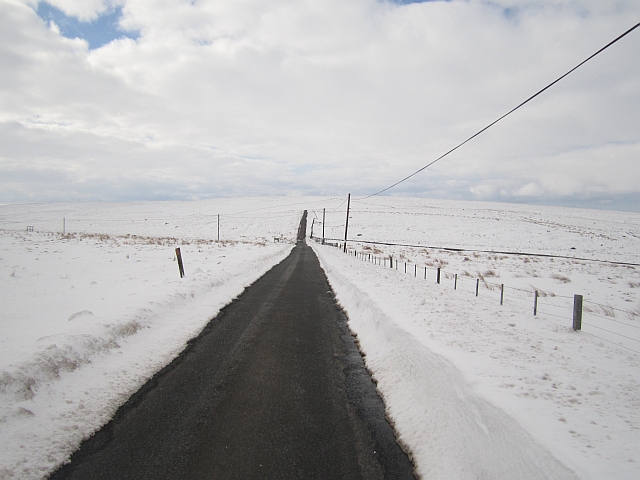
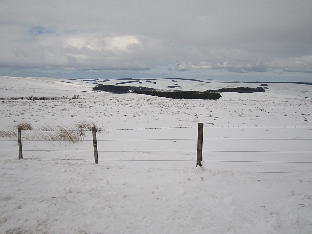
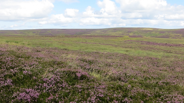
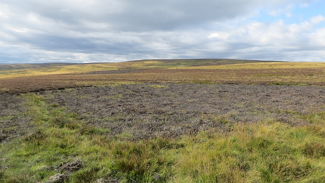
Easter Wood Images

Images are sourced within 2km of 55.831861/-2.5474857 or Grid Reference NT6559. Thanks to Geograph Open Source API. All images are credited.

The Moor Road over Wether Law Gifford to Longformacus road.
The Moor Road over Wether Law
Gifford to Longformacus road.
Lammermuir moorland Gathering grounds of the Killmade Burn.
Lammermuir moorland
Gathering grounds of the Killmade Burn.
Mown path, Saughy Grain
Grouse butt, Priestlaw Hill
Grouse shooting convoy, Cranshaws Hill
Craig Burn Lammermuir moorland.
Craig Burn
Lammermuir moorland.
Heather patterns Heather cut at different times on a grouse moor. It was being shot at the time.
Heather patterns
Heather cut at different times on a grouse moor. It was being shot at the time.
Mown path, Priestlaw Hill
Moorland, Cranshaws Hill Beaters during a grouse shoot.
Moorland, Cranshaws Hill
Beaters during a grouse shoot.
Moorland by the Wester Burn The building is only shown on recent mapping suggesting that it is newly built.
Moorland by the Wester Burn
The building is only shown on recent mapping suggesting that it is newly built.
On Wether Law A moorland ridge in the Lammermuir Hills.
On Wether Law
A moorland ridge in the Lammermuir Hills.
Road Closed? The road to Gifford from Longformacus is viewed here with the sign indicating the road to Horseupcleuch visible to the left.  A 121 point turn and the use of a shovel was required shortly after this photograph was taken!
Road Closed?
The road to Gifford from Longformacus is viewed here with the sign indicating the road to Horseupcleuch visible to the left. A 121 point turn and the use of a shovel was required shortly after this photograph was taken!
Road open The road was clear, but often cut between huge drifts. Not always passable:<a href="https://www.geograph.org.uk/photo/3310231">NT6759 : Road Closed?</a>
Road open
The road was clear, but often cut between huge drifts. Not always passable:NT6759 : Road Closed?
Snowed up Lammermuirs Snow had been lying for some time by now.
Snowed up Lammermuirs
Snow had been lying for some time by now.
Moorland above Trottingshaw Heather in bloom.
Moorland above Trottingshaw
Heather in bloom.
Lammermuir moorland At the head of Cat Cleuch.
Lammermuir moorland
At the head of Cat Cleuch.
Cat Cleugh Steep descent to Horseupcleugh.
Cat Cleugh
Steep descent to Horseupcleugh.
Pasture, Horseupcleuch Improved grassland, high in the Lammermuir Hills.
Pasture, Horseupcleuch
Improved grassland, high in the Lammermuir Hills.
Show me another place!

Easter Wood is located at Grid Ref: NT6559 (Lat: 55.831861, Lng: -2.5474857)

Unitary Authority: The Scottish Borders

Police Authority: The Lothians and Scottish Borders

What 3 Words

///device.vampire.spouse. Near Duns, Scottish Borders

Related Wikis

Cranshaws

Cranshaws is a village on the B6355 road, near Duns, in the Scottish Borders area of Scotland, in the former Berwickshire. Of Cranshaws Castle only the...

Cranshaws Castle

Cranshaws Castle or Cranshaws Tower is a privately owned 15th-century pele situated by the village of Cranshaws in Berwickshire, Scotland. The building...

Watch Water

The Watch Water is a river in the Scottish Borders area of Scotland. It rises in the Lammermuir Hills, around 8 kilometres (5.0 mi) west of Longformacus...

Bothwell Water

The Bothwell Water is a river in the Scottish Borders area of Scotland. It rises in the Lammermuir Hills near Caldercleugh and continues past the Upper...

Nearby Amenities

Located within 500m of 55.831861,-2.5474857
Natural: peak
Lat/Long: 55.8346242/-2.542086
The data included in this document is from www.openstreetmap.org. The data is made available under ODbL.

Have you been to Easter Wood?

Leave your review of Easter Wood below (or comments, questions and feedback).