Horseupcleugh Wood
Wood, Forest in Berwickshire
Scotland
Horseupcleugh Wood
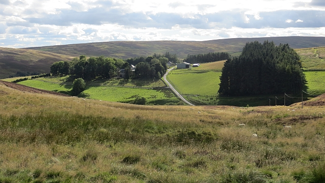
Horseupcleugh Wood is located in Berwickshire, a county in the Scottish Borders region of Scotland. This woodland area is a popular destination for nature enthusiasts and hikers due to its scenic beauty and diverse flora and fauna.
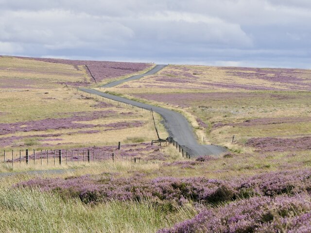
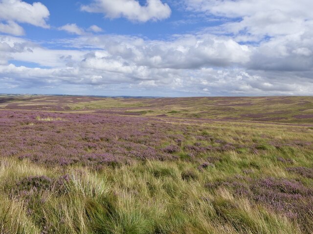
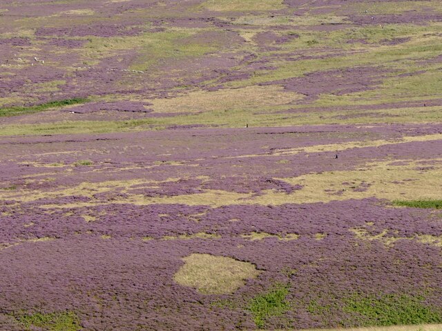
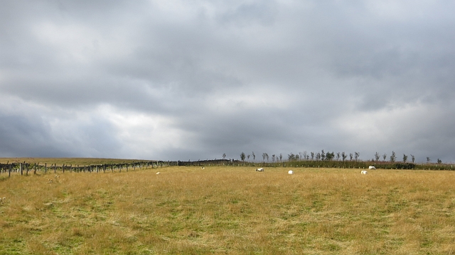
Covering an area of approximately 200 acres, Horseupcleugh Wood is characterized by its mix of broadleaf trees, including oak, birch, and beech. The woodland is rich in biodiversity, providing a habitat for various wildlife species such as red squirrels, roe deer, and numerous bird species. The tranquil atmosphere and abundance of wildlife make it a perfect spot for birdwatching and wildlife photography.
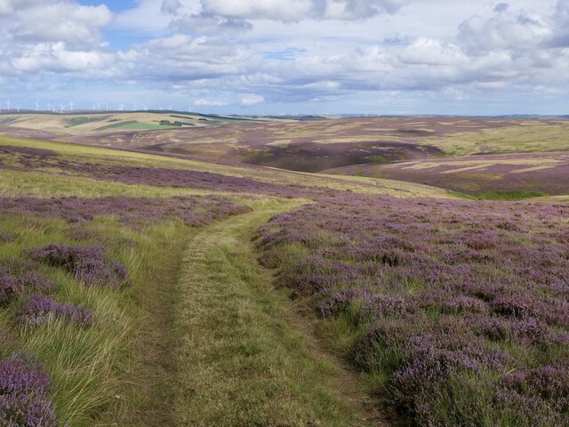
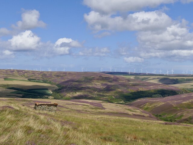
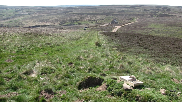
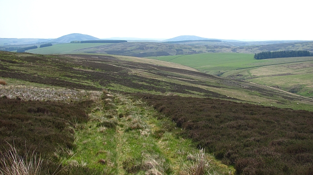
The wood is crisscrossed by a network of well-maintained trails, offering visitors the opportunity to explore the area on foot or by bike. These trails meander through the wood, passing through enchanting glades and along the banks of peaceful streams. The wood is particularly beautiful in spring when the forest floor is carpeted with bluebells and other wildflowers.
Horseupcleugh Wood is managed by a local conservation organization, which works to maintain its natural beauty and preserve its ecological balance. The organization also organizes educational events and guided walks to raise awareness about the importance of woodland conservation.
Overall, Horseupcleugh Wood is a must-visit destination for those seeking a peaceful and picturesque woodland experience in Berwickshire. Its stunning natural landscapes, diverse wildlife, and well-maintained trails make it an ideal place for nature lovers and outdoor enthusiasts.
If you have any feedback on the listing, please let us know in the comments section below.
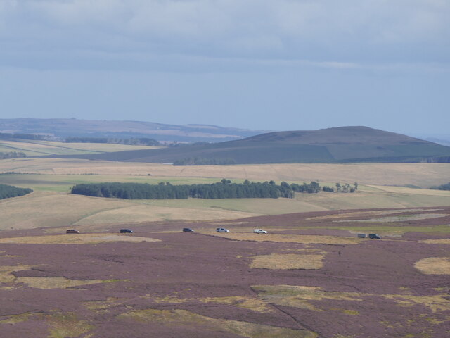
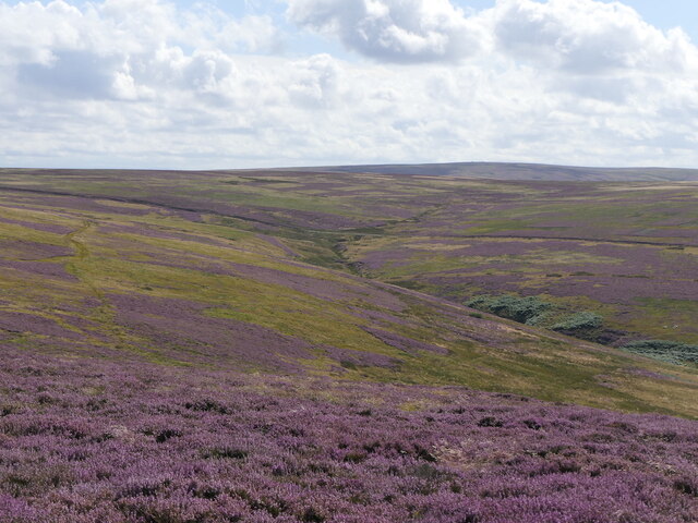
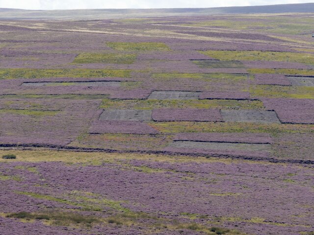
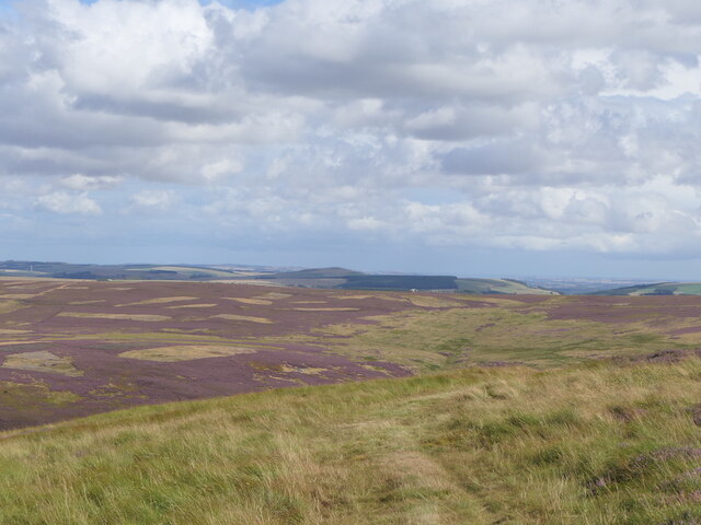
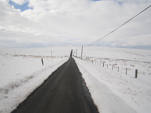
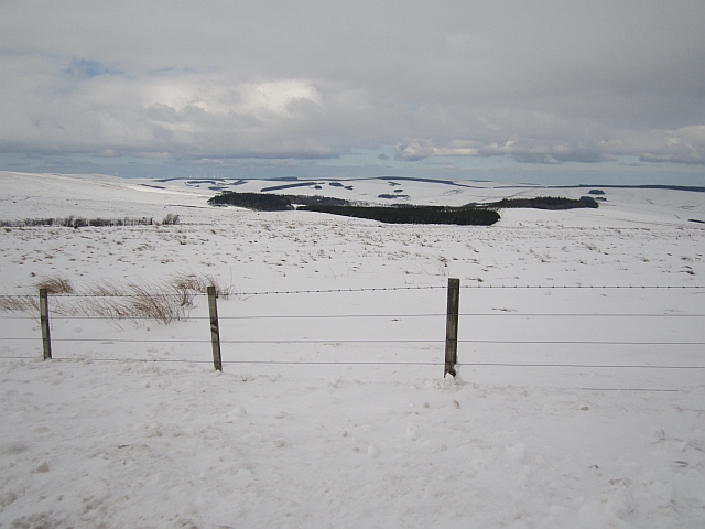
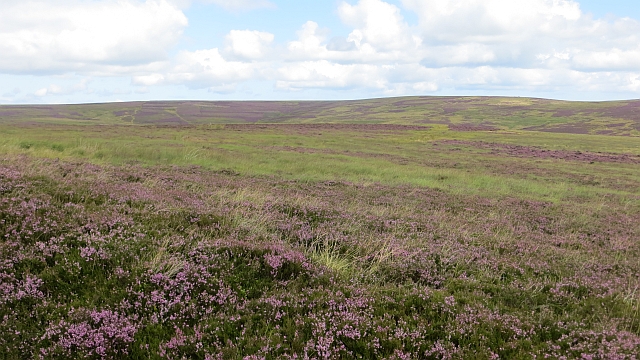
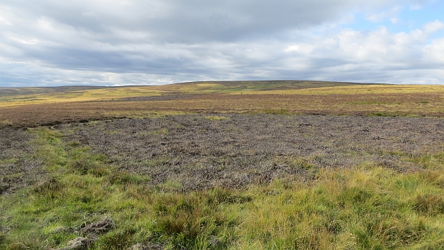
Horseupcleugh Wood Images
Images are sourced within 2km of 55.831861/-2.5474857 or Grid Reference NT6559. Thanks to Geograph Open Source API. All images are credited.
Horseupcleugh Wood is located at Grid Ref: NT6559 (Lat: 55.831861, Lng: -2.5474857)
Unitary Authority: The Scottish Borders
Police Authority: The Lothians and Scottish Borders
What 3 Words
///device.vampire.spouse. Near Duns, Scottish Borders
Nearby Locations
Related Wikis

Cranshaws
Cranshaws is a village on the B6355 road, near Duns, in the Scottish Borders area of Scotland, in the former Berwickshire. Of Cranshaws Castle only the...

Cranshaws Castle
Cranshaws Castle or Cranshaws Tower is a privately owned 15th-century pele situated by the village of Cranshaws in Berwickshire, Scotland. The building...

Watch Water
The Watch Water is a river in the Scottish Borders area of Scotland. It rises in the Lammermuir Hills, around 8 kilometres (5.0 mi) west of Longformacus...

Bothwell Water
The Bothwell Water is a river in the Scottish Borders area of Scotland. It rises in the Lammermuir Hills near Caldercleugh and continues past the Upper...
Nearby Amenities
Located within 500m of 55.831861,-2.5474857Have you been to Horseupcleugh Wood?
Leave your review of Horseupcleugh Wood below (or comments, questions and feedback).