Monkshot Plantation
Wood, Forest in Roxburghshire
Scotland
Monkshot Plantation
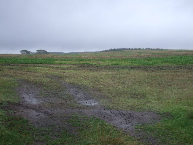
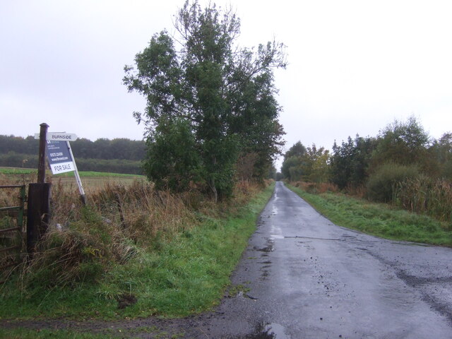
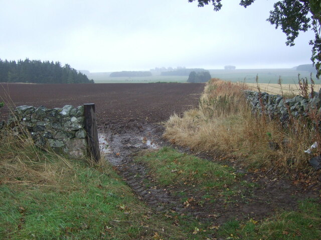
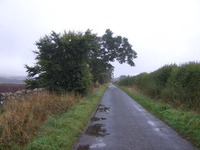
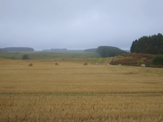
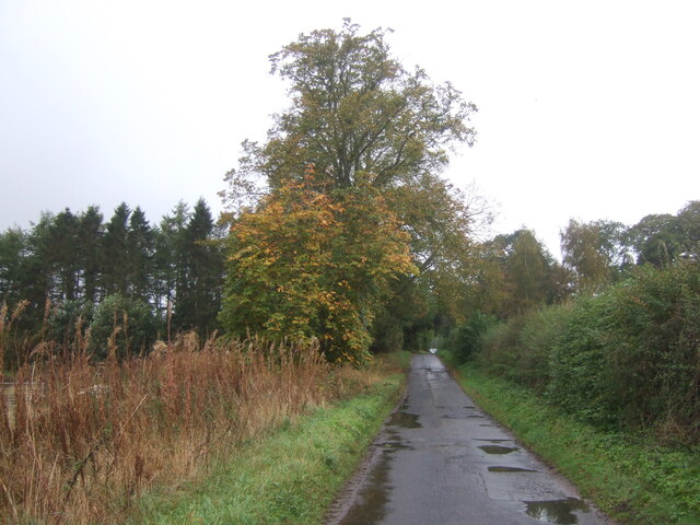
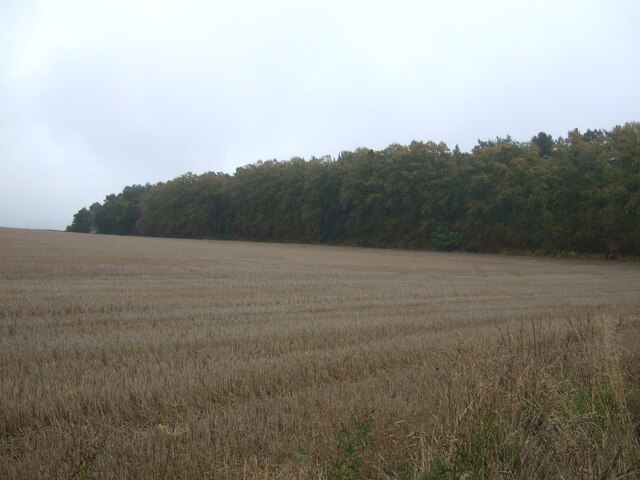
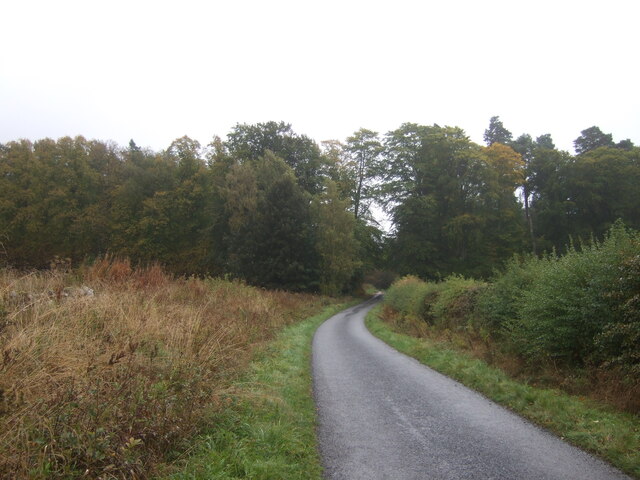
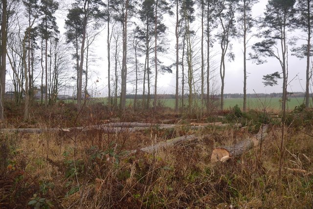
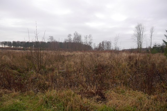
Monkshot Plantation is a sprawling woodland located in Roxburghshire, Scotland. Covering a vast area, the plantation is known for its dense forests and diverse range of tree species. The landscape is characterized by tall, mature trees that create a peaceful and secluded environment for visitors to enjoy.
The plantation is home to a variety of wildlife, including deer, birds, and other woodland creatures. Walking trails wind through the forest, allowing visitors to explore the natural beauty of the area and observe the flora and fauna that call Monkshot Plantation home.
The woodland is well-maintained and managed, with careful attention paid to preserving its natural beauty and ecological diversity. The plantation is a popular destination for nature lovers, hikers, and birdwatchers looking to immerse themselves in the tranquility of the Scottish countryside.
Overall, Monkshot Plantation is a picturesque and serene woodland retreat that offers a peaceful escape from the hustle and bustle of everyday life. Its lush forests, abundant wildlife, and scenic walking trails make it a must-visit destination for anyone seeking a connection with nature in Roxburghshire.
If you have any feedback on the listing, please let us know in the comments section below.
Monkshot Plantation Images
Images are sourced within 2km of 55.545402/-2.5433057 or Grid Reference NT6528. Thanks to Geograph Open Source API. All images are credited.


Monkshot Plantation is located at Grid Ref: NT6528 (Lat: 55.545402, Lng: -2.5433057)
Unitary Authority: The Scottish Borders
Police Authority: The Lothians and Scottish Borders
What 3 Words
///wealth.perfume.required. Near Saint Boswells, Scottish Borders
Nearby Locations
Related Wikis

Waterloo Monument
The Waterloo Monument near Ancrum in the Scottish Borders is a 150-foot tower, built between 1817 and 1824 to commemorate the Battle of Waterloo. It was...

Peniel Heugh
Peniel Heugh (237 m) is a hill near Ancrum and Nisbet in the Scottish Borders area of Scotland. On it stands the Waterloo Monument. == Geology == The heugh...

Rutherford railway station
Rutherford railway station served the parish of Maxton, Roxburghshire, Scotland from 1851 to 1964 on the Kelso Line. == History == The station opened in...

Nisbet railway station
Nisbet railway station served the hamlet of Nisbet, Scottish Borders, Scotland from 1856 to 1948, on the Jedburgh Railway. == History == The station opened...
Nearby Amenities
Located within 500m of 55.545402,-2.5433057Have you been to Monkshot Plantation?
Leave your review of Monkshot Plantation below (or comments, questions and feedback).