Firbrae Strip

Wood, Forest in Berwickshire

Scotland

Firbrae Strip

A small woodland A small coniferous plantation breaks up a predominantly arable landscape near the Eden Water.
A small woodland Credit: Richard Webb

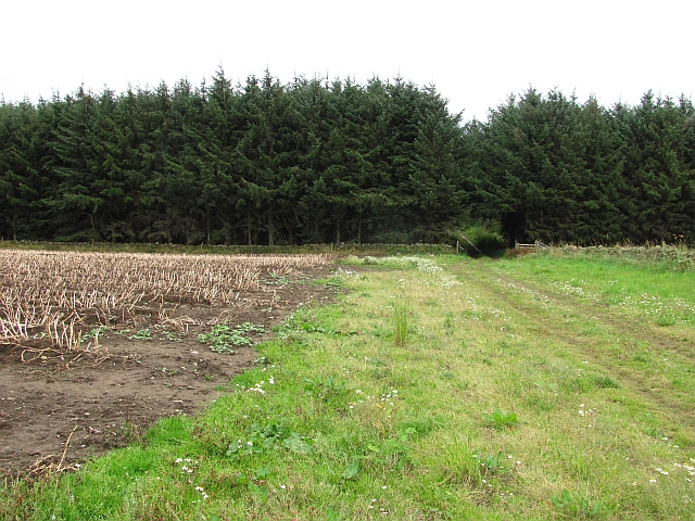
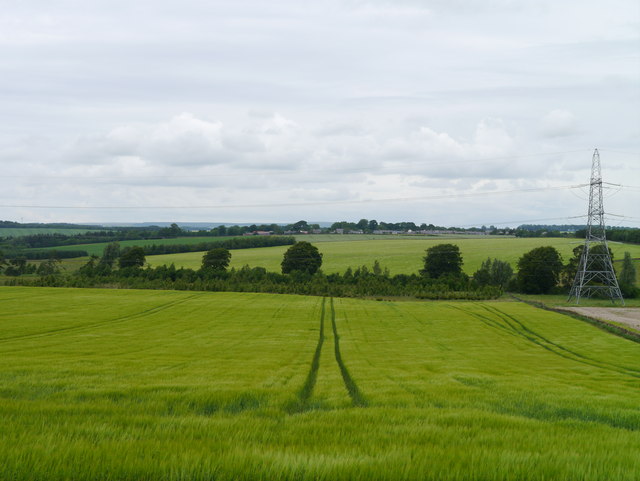
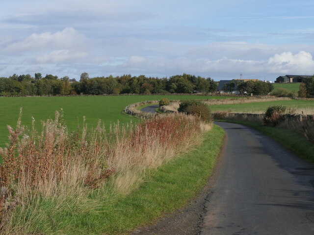
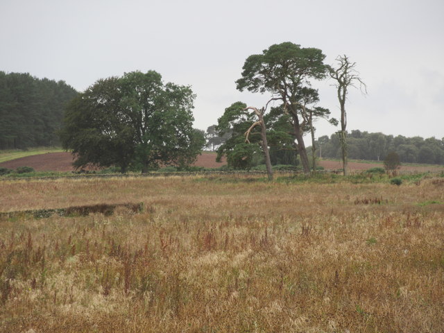
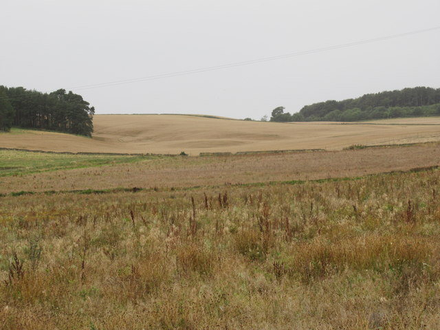
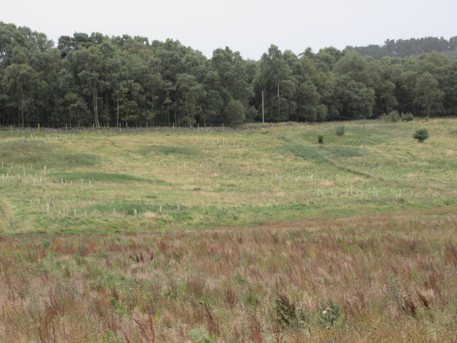
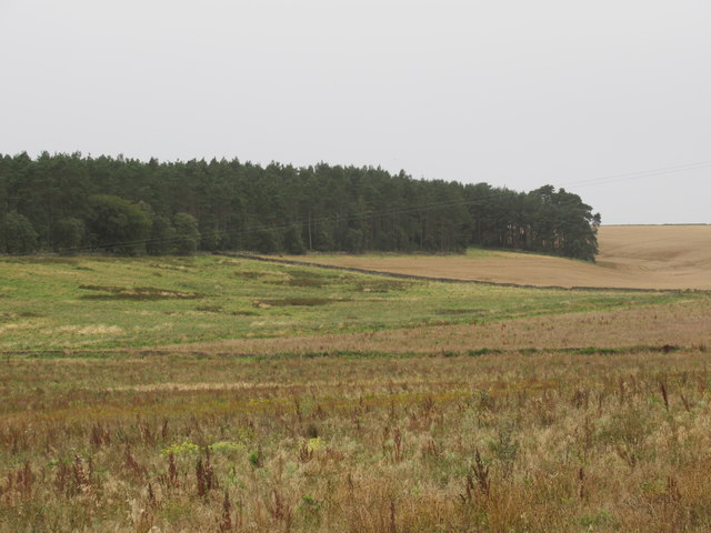
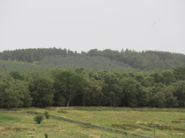
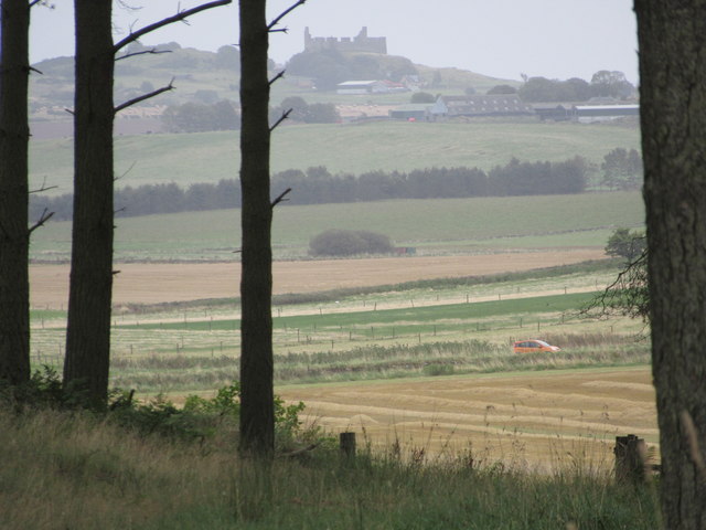
Firbrae Strip, located in Berwickshire, is a picturesque wood or forest area known for its natural beauty and diverse ecosystem. Spanning approximately 10 hectares, this stunning strip of land is characterized by its dense vegetation, tall trees, and lush undergrowth.

Firbrae Strip is home to a variety of tree species, including oak, beech, birch, and spruce, which provide a rich and vibrant canopy. The forest floor is adorned with a carpet of mosses, ferns, wildflowers, and other plants, adding to the enchanting ambiance of the wood.

The strip is crisscrossed by numerous winding paths that allow visitors to explore and immerse themselves in the tranquility of the surroundings. These paths are well-maintained and provide easy access to the different parts of the forest, making it an ideal destination for hikers and nature enthusiasts.

The woodland also serves as a habitat for numerous bird species, including woodpeckers, owls, and various songbirds. It is not uncommon to hear the melodious chirping of birds while strolling through the woods.

In addition to its natural beauty, Firbrae Strip is also of historical significance. The forest has been an integral part of the local community for generations, providing a source of timber and shelter. Its preservation and conservation efforts have ensured that future generations can continue to enjoy its splendor.

Overall, Firbrae Strip in Berwickshire is a captivating wood or forest that offers a serene escape from the hustle and bustle of everyday life. Its breathtaking scenery, diverse flora and fauna, and rich history make it a must-visit destination for nature lovers and those seeking a peaceful retreat.

If you have any feedback on the listing, please let us know in the comments section below.

Firbrae Strip Images

Images are sourced within 2km of 55.653636/-2.5541804 or Grid Reference NT6540. Thanks to Geograph Open Source API. All images are credited.

A small woodland A small coniferous plantation breaks up a predominantly arable landscape near the Eden Water.
A small woodland
A small coniferous plantation breaks up a predominantly arable landscape near the Eden Water.
Hardiesmill Place
Hardiesmill Place
Farmland at Hardiesmill Place
Towards Lightfield Heading east along the Fans to Lightfield road under threatening skies.
Towards Lightfield
Heading east along the Fans to Lightfield road under threatening skies.
Barley Near Lightfield A view across ripening Barley to Gordon village.
Barley Near Lightfield
A view across ripening Barley to Gordon village.
Mellerstain House The south facade
Mellerstain House
The south facade
Road near Mellerstain
Formal garden On the south front of Mellerstain House
Formal garden
On the south front of Mellerstain House
The old cottage On the Mellerstain estate
The old cottage
On the Mellerstain estate
Lightfield Farm from Mellerstain Hill The farm is in the foreground with Gordon village in the background in this early April telephoto view.
Lightfield Farm from Mellerstain Hill
The farm is in the foreground with Gordon village in the background in this early April telephoto view.
Minor road at Hardiesmill Place Looking north-eastward.
Minor road at Hardiesmill Place
Looking north-eastward.
Old Milepost by the A6089, south of Gordon, Earlston parish Blaydon casting by the A6089, in parish of Earlston (Berwick District), South of Gordon, and near Shusie's Covert wood.

Inscription reads:-
: KELSO / 7 / MILES : : EDINBURGH / 35 / LAUDER / 10 :
Maker:-
: SMITH PATTERSON / BLAYDON : 

Surveyed

Milestone Society National ID: BD_KSED07
Old Milepost by the A6089, south of Gordon, Earlston parish
Blaydon casting by the A6089, in parish of Earlston (Berwick District), South of Gordon, and near Shusie's Covert wood. Inscription reads:- : KELSO / 7 / MILES : : EDINBURGH / 35 / LAUDER / 10 : Maker:- : SMITH PATTERSON / BLAYDON : Surveyed Milestone Society National ID: BD_KSED07
Big old trees near Lightfield by Gordon in the Scottish Borders
Arable ground beyond forestry-to-be near Lightfield in the Scottish Borders
Old pasture fields tree-planted near Lightfield in the Scottish Borders
Old pasture fields above free-draining ground ear-marked for pines near Lightfield by Gordon in the Scottish Borders
Trees galore near Lightfield in the Scottish Borders
View through the Horseshoe by Lightfield near Gordon in the Scottish Borders A folly in the view!
View through the Horseshoe by Lightfield near Gordon in the Scottish Borders
A folly in the view!
Show me another place!

Firbrae Strip is located at Grid Ref: NT6540 (Lat: 55.653636, Lng: -2.5541804)

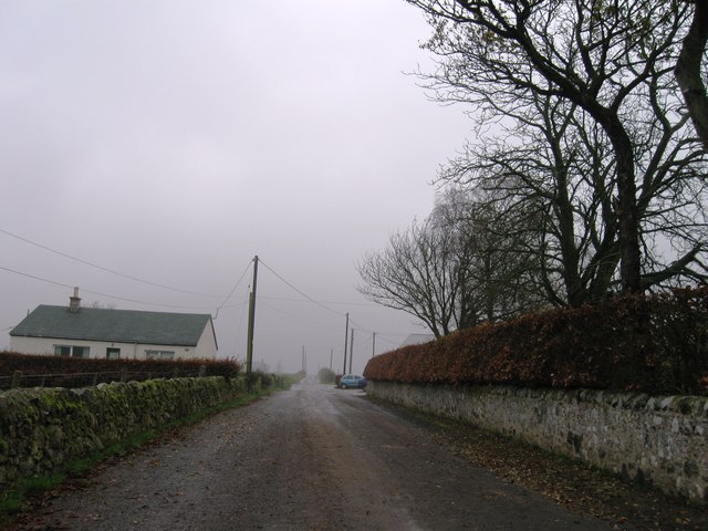
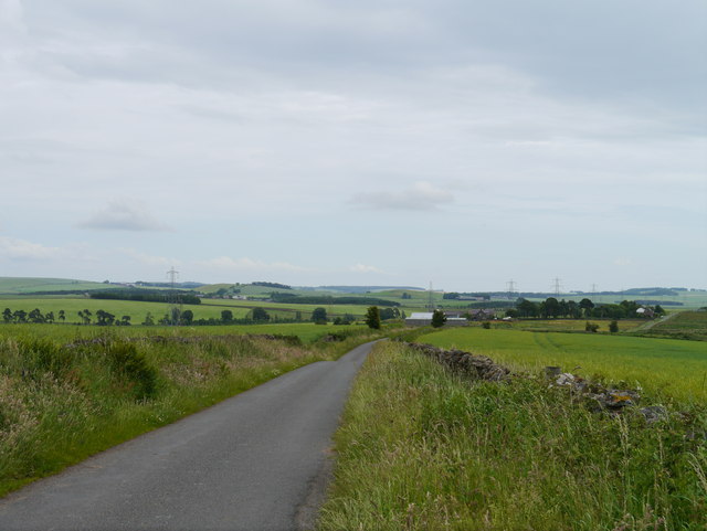
Unitary Authority: The Scottish Borders

Police Authority: The Lothians and Scottish Borders

What 3 Words

///closets.riverboat.quite. Near Earlston, Scottish Borders

Related Wikis

Nearby Amenities

Located within 500m of 55.653636,-2.5541804
Mellerstain Road End
Local Ref: AT
Naptan AtcoCode: 69001193
Naptan Bearing: N
Naptan BusStopType: CUS
Naptan CommonName: Mellerstain Road End
Naptan Indicator: at
Naptan Landmark: Whitehill
Naptan NaptanCode: 72726346
Naptan Street: A6089
Naptan Verified: no
Source: naptan_import
Lat/Long: 55.6530529/-2.5464741
Power: pole
Lat/Long: 55.6496843/-2.5574863
Power: pole
Lat/Long: 55.6502532/-2.5581514
Power: pole
Lat/Long: 55.6508354/-2.5587803
Power: pole
Lat/Long: 55.651871/-2.5599783
Power: pole
Lat/Long: 55.652529/-2.560313
Power: pole
Lat/Long: 55.653217/-2.5606904
Power: pole
Lat/Long: 55.6539073/-2.5610826
Power: pole
Lat/Long: 55.6544654/-2.5613768
Power: pole
Lat/Long: 55.6550126/-2.561688
Power: pole
Lat/Long: 55.6518332/-2.5554866
Power: pole
Lat/Long: 55.6514278/-2.5550411
Power: pole
Lat/Long: 55.6510212/-2.5546147
Power: pole
Lat/Long: 55.650486/-2.5544378
Power: pole
Lat/Long: 55.6502659/-2.5548705
Power: pole
Lat/Long: 55.6499447/-2.5562455
The data included in this document is from www.openstreetmap.org. The data is made available under ODbL.

Have you been to Firbrae Strip?

Leave your review of Firbrae Strip below (or comments, questions and feedback).