Minister's Moss
Wood, Forest in Aberdeenshire
Scotland
Minister's Moss
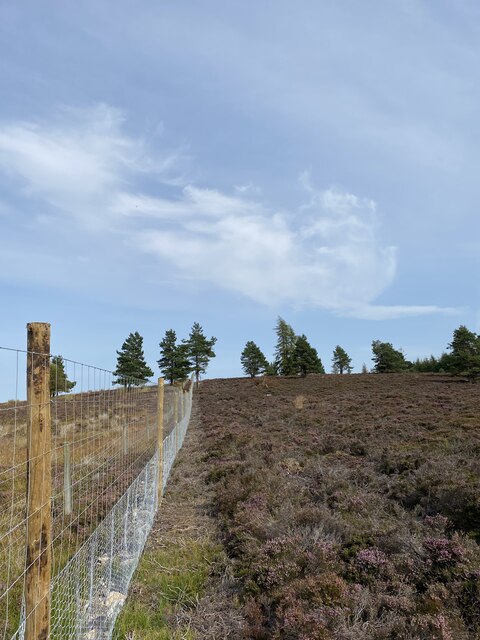
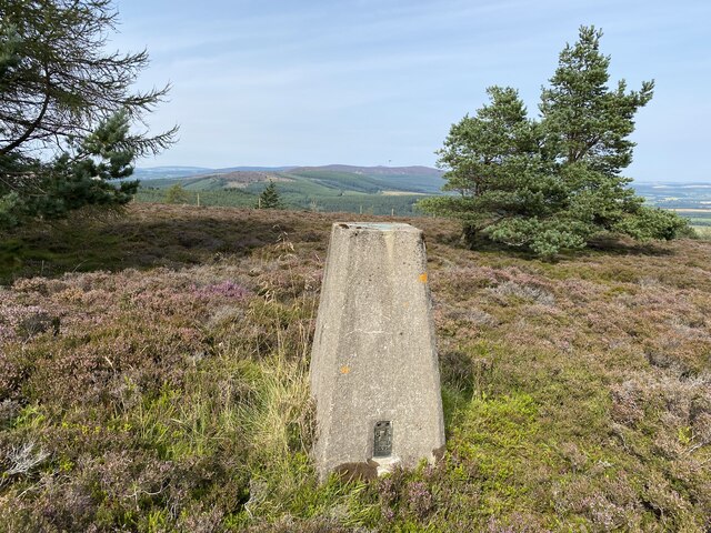
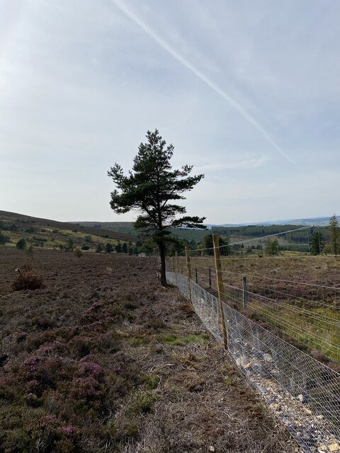
Minister's Moss is a picturesque woodland area located in Aberdeenshire, Scotland. Covering an expansive area of approximately 500 acres, it is a haven for nature enthusiasts and outdoor adventurers alike. The moss is situated within the larger Craigevar Forest, and its rich biodiversity makes it a prime spot for wildlife observation.
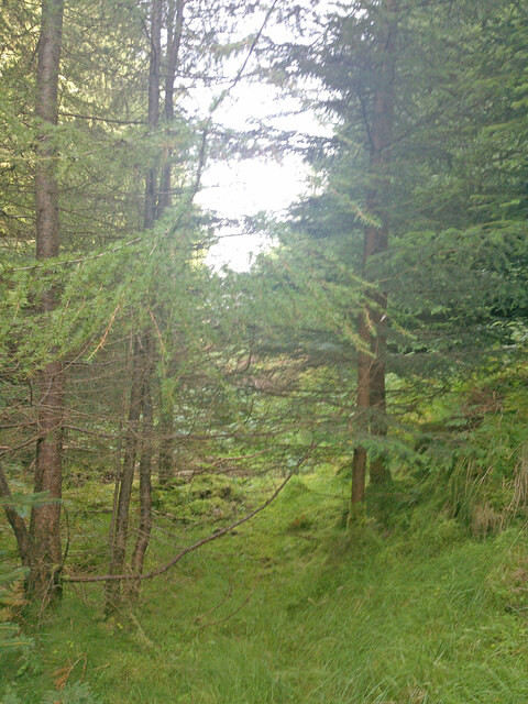
The woodland is primarily composed of native Scottish tree species, such as Scots pine, birch, and oak, creating a diverse and vibrant ecosystem. The dense canopy provides ample shade and shelter for a variety of flora and fauna. Visitors can expect to encounter a plethora of bird species, including the majestic golden eagle, as well as red squirrels, deer, and foxes.
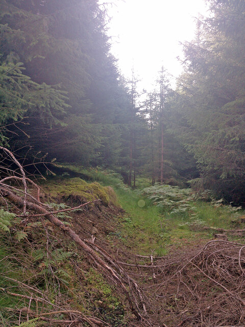
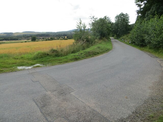
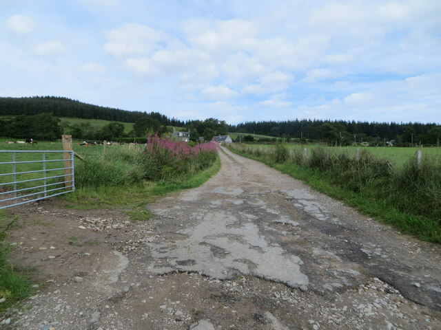
Minister's Moss offers numerous walking trails and paths, making it an ideal destination for hikers and nature lovers. The trails wind through the forest, offering stunning views of the surrounding landscape and the opportunity to spot rare plant species like the lesser twayblade orchid. The area is also home to several small lochs and wetlands, adding to its natural charm.
For those interested in history, the moss holds significance as it was once part of the ancient Caledonian Forest, which covered much of Scotland. Remnants of this ancient forest can still be seen, providing a glimpse into the country's ecological past.
Overall, Minister's Moss offers a tranquil and immersive experience in nature, allowing visitors to escape the hustle and bustle of everyday life and embrace the beauty of Scotland's woodlands.
If you have any feedback on the listing, please let us know in the comments section below.
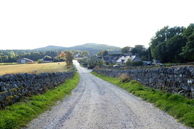
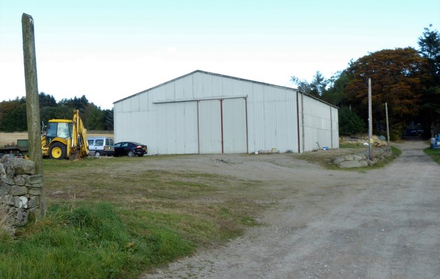
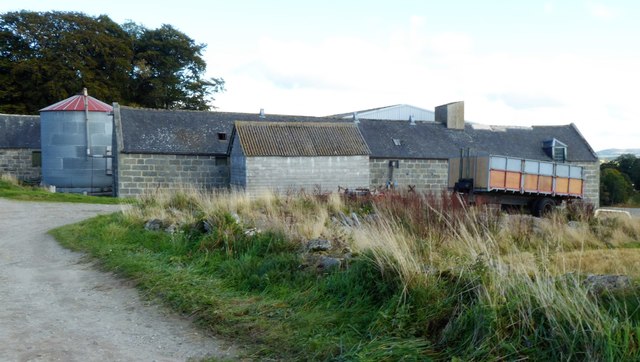
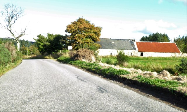
Minister's Moss Images
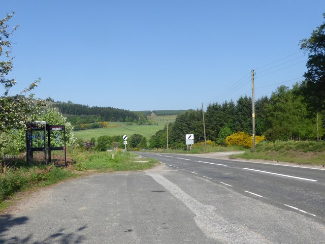
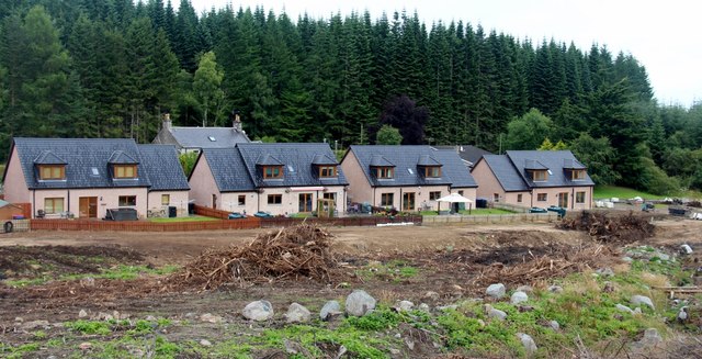
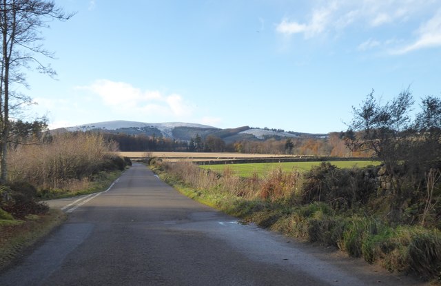
Images are sourced within 2km of 57.190568/-2.5662455 or Grid Reference NJ6511. Thanks to Geograph Open Source API. All images are credited.


Minister's Moss is located at Grid Ref: NJ6511 (Lat: 57.190568, Lng: -2.5662455)
Unitary Authority: Aberdeenshire
Police Authority: North East
What 3 Words
///dust.back.reset. Near Sauchen, Aberdeenshire
Nearby Locations
Related Wikis

Tillycairn Castle
Tillycairn Castle is an L-plan castle, dating from the 16th century, standing on high ground around 2.0 miles (3.2 km) south-east of Cluny in Aberdeenshire...

Tillyfourie
Tillyfourie is a hamlet in Aberdeenshire, Scotland. It is situated at the junction between the A944 road and the B993 road. A disused quarry and a stone...

A944 road
The A944 road connects Aberdeen with Strathdon in north-east Scotland. == Route == It originates at the Lang Stracht in the city, which is a re-routing...
Tillyfourie railway station
Tillyfourie railway station was a railway station serving Tillyfourie, Aberdeenshire, Scotland. The station opened on 2 June 1860 on the Alford Valley...
Nearby Amenities
Located within 500m of 57.190568,-2.5662455Have you been to Minister's Moss?
Leave your review of Minister's Moss below (or comments, questions and feedback).