Dalcove Plantation

Wood, Forest in Roxburghshire

Scotland

Dalcove Plantation

A phone box at Makerstoun It appears to be used as the village library.
A phone box at Makerstoun Credit: Walter Baxter

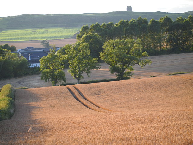
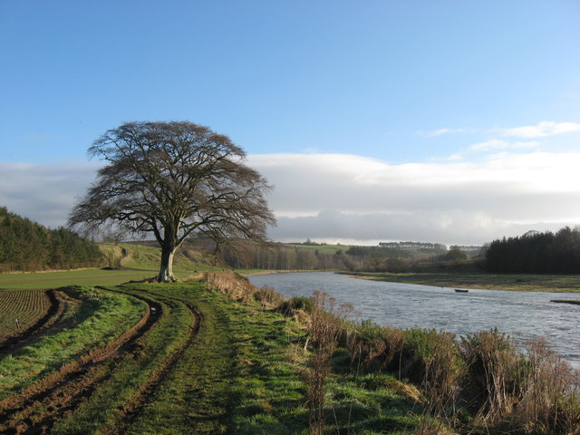
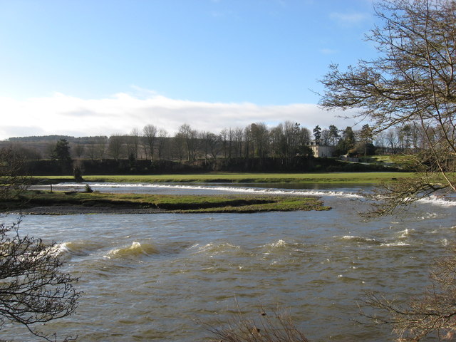
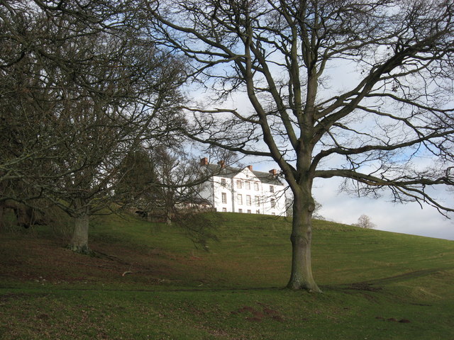
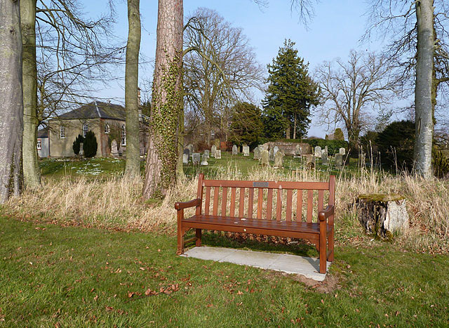
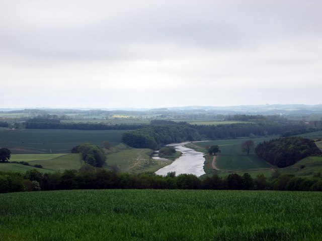
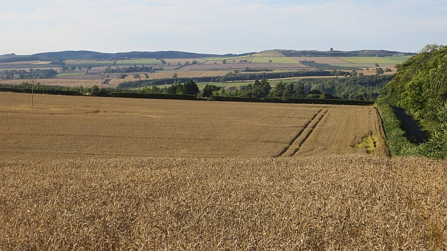
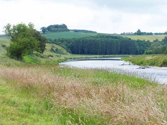
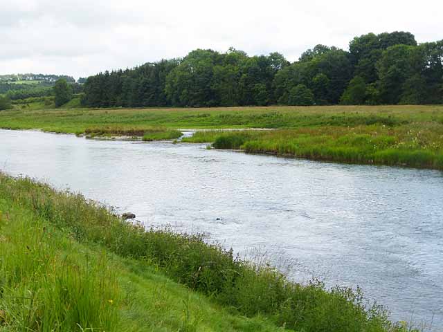
Dalcove Plantation is a picturesque woodland located in the heart of Roxburghshire, Scotland. Spanning over an area of approximately 500 acres, this enchanting forest is known for its remarkable beauty and diverse range of flora and fauna. Situated just a few miles away from the charming town of Kelso, Dalcove Plantation offers visitors a tranquil escape into nature.

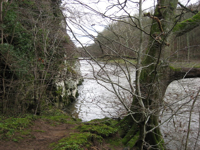
The plantation is predominantly composed of native Scottish tree species, including oak, ash, and birch, which have thrived in the area for centuries. The dense forest canopy provides a haven for a variety of wildlife, making it a popular destination for nature enthusiasts and birdwatchers. Visitors can often spot a multitude of bird species, such as woodpeckers, owls, and various songbirds, creating a melodic symphony throughout the woodland.

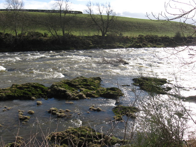
Several well-marked trails wind their way through the plantation, offering visitors the opportunity to explore the forest at their own pace. These paths lead to breathtaking viewpoints and hidden gems, including a serene lake nestled within the woodland. Nature lovers can also encounter a diverse range of wildflowers, fungi, and mosses that thrive in the damp and shaded environment of Dalcove Plantation.

With its idyllic setting and peaceful atmosphere, Dalcove Plantation is a popular destination for outdoor activities such as hiking, picnicking, and photography. Whether one seeks solitude or a family adventure, this enchanting woodland provides a captivating experience for all who visit.

If you have any feedback on the listing, please let us know in the comments section below.

Dalcove Plantation Images

Images are sourced within 2km of 55.5803/-2.5435023 or Grid Reference NT6531. Thanks to Geograph Open Source API. All images are credited.

A phone box at Makerstoun It appears to be used as the village library.
A phone box at Makerstoun
It appears to be used as the village library.
Makerstoun phone box The box is being used as a library.
Makerstoun phone box
The box is being used as a library.
A sundial at Makerstoun Parish Churchyard According to The Churches and Graveyards of Roxburghshire by G A C Binnie, the sundial and pedestal was gifted by General Sir Thomas Makdougall Brisbane, once Governor General of New South Wales.
A sundial at Makerstoun Parish Churchyard
According to The Churches and Graveyards of Roxburghshire by G A C Binnie, the sundial and pedestal was gifted by General Sir Thomas Makdougall Brisbane, once Governor General of New South Wales.
Tweed flood plain near Rutherford Grassland beside the Tweed.
Tweed flood plain near Rutherford
Grassland beside the Tweed.
Roxburgh Newtown Sheep graze beside the Stockstruther Burn on land obviously unsuited to arable use.
Roxburgh Newtown
Sheep graze beside the Stockstruther Burn on land obviously unsuited to arable use.
Stockstruther Burn Flowing between steep banks towards the Tweed.
Stockstruther Burn
Flowing between steep banks towards the Tweed.
The Old Threshing Mill, Millfield View towards Old Threshing Mill with Smailholm Tower on horizon.
The Old Threshing Mill, Millfield
View towards Old Threshing Mill with Smailholm Tower on horizon.
'In Isolation' This fine specimen of a Beech Tree stands close to the River Tweed near Dalcove Braes.
'In Isolation'
This fine specimen of a Beech Tree stands close to the River Tweed near Dalcove Braes.
The Weir at Rutherford Lodge Crossing the Tweed from bank to bank this weir may well be the longest on the river. In spate conditions it's certainly one of the noisiest.
The Weir at Rutherford Lodge
Crossing the Tweed from bank to bank this weir may well be the longest on the river. In spate conditions it's certainly one of the noisiest.
'Footpaths End' This footpath near Corbie Craigs by the River Tweed suddenly ends,needing one to detour somewhat. Unless of course you can walk on water.
'Footpaths End'
This footpath near Corbie Craigs by the River Tweed suddenly ends,needing one to detour somewhat. Unless of course you can walk on water.
Makerstoun House The house stands in a prominent position above the River Tweed.
Makerstoun House
The house stands in a prominent position above the River Tweed.
Rough Water Rocky extrusions causing white water on the River Tweed downstream from Makerstoun House.
Rough Water
Rocky extrusions causing white water on the River Tweed downstream from Makerstoun House.
A dedicated bench seat at Makerstoun Kirkyard The kirk is in the background to the left.
A dedicated bench seat at Makerstoun Kirkyard
The kirk is in the background to the left.
Looking over the farming lands at Dalcove in the Scottish Borders With the majestic River Tweed beyond.
Looking over the farming lands at Dalcove in the Scottish Borders
With the majestic River Tweed beyond.
Wheat, Rutherford The excellent harvest weather of 2013.
Wheat, Rutherford
The excellent harvest weather of 2013.
The River Tweed above Dalcove There is an island in the river to the right.  The steep grassy slope ahead to the left is Dalcove Braes.
The River Tweed above Dalcove
There is an island in the river to the right. The steep grassy slope ahead to the left is Dalcove Braes.
River Tweed upstream from Dalcove Braes Showing the eastern end of an island in mid-stream.
River Tweed upstream from Dalcove Braes
Showing the eastern end of an island in mid-stream.
River Tweed and the Border Abbeys Way The Borders Abbeys Way, a circular long-distance walking route in the Scottish Borders here runs alongside the River Tweed. There is a wheat field to the left. The grassy slope beyond is Dalcove Braes <a href="https://www.geograph.org.uk/gridref/NT6432">NT6432</a>.
River Tweed and the Border Abbeys Way
The Borders Abbeys Way, a circular long-distance walking route in the Scottish Borders here runs alongside the River Tweed. There is a wheat field to the left. The grassy slope beyond is Dalcove Braes NT6432.
Show me another place!

Dalcove Plantation is located at Grid Ref: NT6531 (Lat: 55.5803, Lng: -2.5435023)

Unitary Authority: The Scottish Borders

Police Authority: The Lothians and Scottish Borders

What 3 Words

///narrating.inspects.tropic. Near Saint Boswells, Scottish Borders

Related Wikis

Rutherford railway station

Rutherford railway station served the parish of Maxton, Roxburghshire, Scotland from 1851 to 1964 on the Kelso Line. == History == The station opened in...

Makerstoun

Makerstoun is a parish in the Scottish Borders area of Scotland, as well as the historic county of Roxburghshire, 4 miles (6 km) south-west of Kelso.The...

Borders Abbeys Way

The Borders Abbeys Way is a long-distance footpath in the Scottish Borders area of Scotland. It is a circular walkway and is 109 kilometres (68 mi) in...

Smailholm Tower

Smailholm Tower is a peel tower at Smailholm, around five miles (8 km) west of Kelso in the Scottish Borders. Its dramatic situation, atop a crag of Lady...

Nearby Amenities

Located within 500m of 55.5803,-2.5435023
Dalcove Mains
Place: hamlet
Lat/Long: 55.5818372/-2.548086
Power: pole
Lat/Long: 55.5837595/-2.5474145
Power: pole
Lat/Long: 55.5831414/-2.5475787
Power: pole
Lat/Long: 55.5825016/-2.5477471
The data included in this document is from www.openstreetmap.org. The data is made available under ODbL.

Have you been to Dalcove Plantation?

Leave your review of Dalcove Plantation below (or comments, questions and feedback).