Dalcove Fox Covert

Wood, Forest in Berwickshire

Scotland

Dalcove Fox Covert

A phone box at Makerstoun It appears to be used as the village library.
A phone box at Makerstoun Credit: Walter Baxter

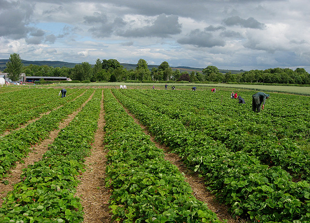
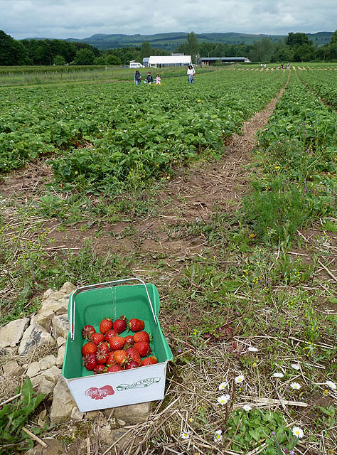
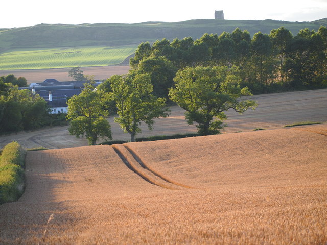
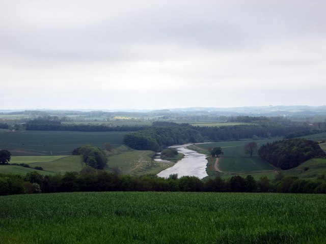
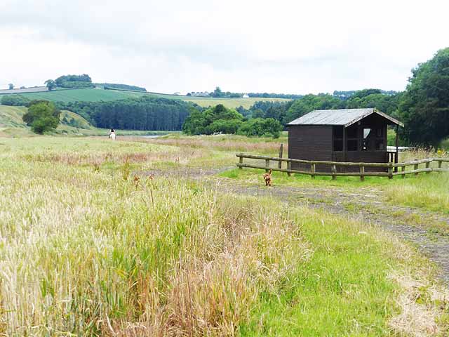
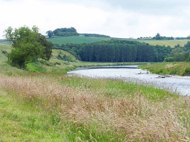
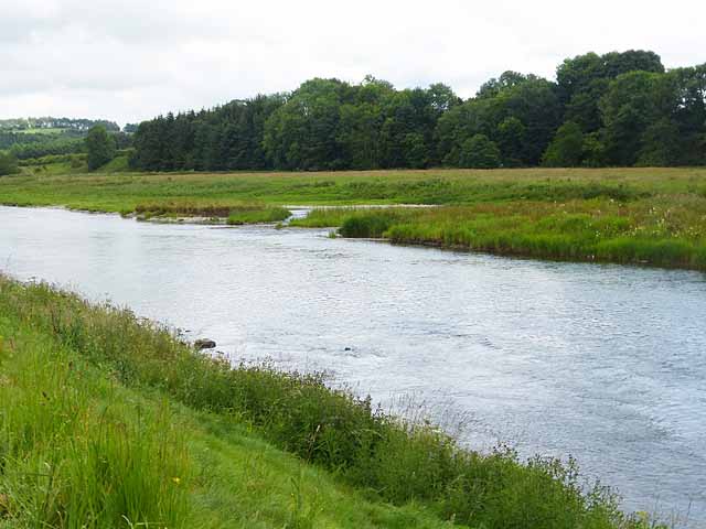
Dalcove Fox Covert, located in Berwickshire, Scotland, is a picturesque wood and forest area that spans across a vast expanse of approximately 200 acres. Situated near the charming village of Duns, this woodland is a haven for nature lovers, offering a serene and tranquil setting for visitors to immerse themselves in the beauty of the Scottish countryside.

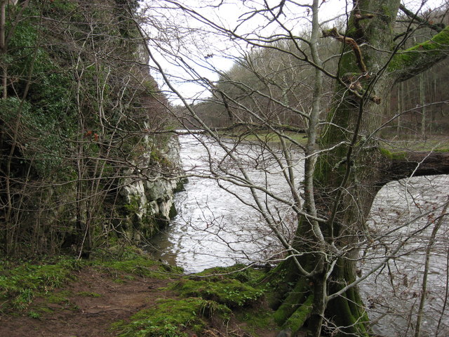
The woodland of Dalcove Fox Covert is primarily composed of native tree species such as oak, beech, and birch, creating a diverse and vibrant ecosystem. The forest floor is adorned with a rich carpet of mosses, ferns, and wildflowers, adding to the enchanting atmosphere. The dense canopy formed by the towering trees provides a cool shade and shelters an array of wildlife, including squirrels, rabbits, and a variety of bird species.

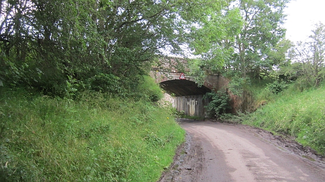
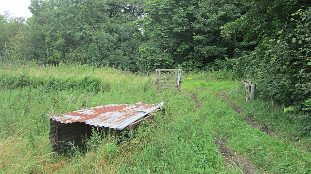
A network of well-maintained trails meanders through the woodland, allowing visitors to explore and discover the natural wonders of Dalcove Fox Covert at their own pace. These paths are suitable for hikers, nature enthusiasts, and families alike, providing an opportunity to enjoy leisurely walks, picnics, or birdwatching.

The management of the woodland is carefully overseen by local conservation organizations to ensure the preservation of this unique habitat. Educational programs and events are often organized to raise awareness about the importance of woodland conservation and to provide visitors with an opportunity to learn about the diverse flora and fauna that call this forest home.

Dalcove Fox Covert is a hidden gem in the Berwickshire countryside, offering a peaceful retreat and a chance to reconnect with nature. Whether you are seeking solitude or an outdoor adventure, this wood and forest area is a must-visit destination for nature enthusiasts and those looking to explore the natural beauty of Scotland.

If you have any feedback on the listing, please let us know in the comments section below.

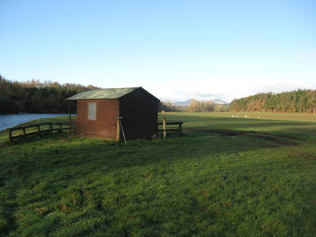
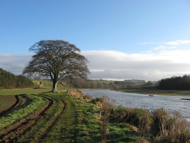
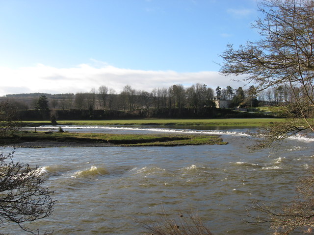
Dalcove Fox Covert Images

Images are sourced within 2km of 55.579481/-2.5537853 or Grid Reference NT6531. Thanks to Geograph Open Source API. All images are credited.

A phone box at Makerstoun It appears to be used as the village library.
A phone box at Makerstoun
It appears to be used as the village library.
Makerstoun phone box The box is being used as a library.
Makerstoun phone box
The box is being used as a library.
Border Berries at Rutherford Farm Two large fields on the south side of the main farm buildings are used during the summer months as a pick your own fruit farm. The main fruits are strawberries, raspberries, gooseberries, red currants and black currants. On this occasion I was picking strawberries.
Border Berries at Rutherford Farm
Two large fields on the south side of the main farm buildings are used during the summer months as a pick your own fruit farm. The main fruits are strawberries, raspberries, gooseberries, red currants and black currants. On this occasion I was picking strawberries.
Border Berries A large area on the south side of Rutherford Farm buildings is used during the summer months as a pick your own fruit farm. The main fruits are strawberries, raspberries, gooseberries, red currants, black currants, Tay berries and black berries. Due to an unseasonably cold spring and recent inclement weather some fruits will ripen later than usual but strawberries were ready for picking on my visit.
Border Berries
A large area on the south side of Rutherford Farm buildings is used during the summer months as a pick your own fruit farm. The main fruits are strawberries, raspberries, gooseberries, red currants, black currants, Tay berries and black berries. Due to an unseasonably cold spring and recent inclement weather some fruits will ripen later than usual but strawberries were ready for picking on my visit.
The "Hoot Bridge", Rutherford Overbridge which carried the Kelso Branch over a minor road. There is a sharp left on the other side - hence the owl message <a href="https://www.geograph.org.uk/photo/1988949">NT6430 : Motorists, hoot your horn!</a>.
The "Hoot Bridge", Rutherford
Overbridge which carried the Kelso Branch over a minor road. There is a sharp left on the other side - hence the owl message NT6430 : Motorists, hoot your horn!.
Kelso Branch Railway A track allows farm access to the trackbed which is used as field access here.
Kelso Branch Railway
A track allows farm access to the trackbed which is used as field access here.
Tweed flood plain near Rutherford Grassland beside the Tweed.
Tweed flood plain near Rutherford
Grassland beside the Tweed.
The Old Threshing Mill, Millfield View towards Old Threshing Mill with Smailholm Tower on horizon.
The Old Threshing Mill, Millfield
View towards Old Threshing Mill with Smailholm Tower on horizon.
Fishermans Hut This refuge for fisherfolk sits on the banks of the River Tweed downstream from the Mertoun House Estate. The white birds are mute swans.
Fishermans Hut
This refuge for fisherfolk sits on the banks of the River Tweed downstream from the Mertoun House Estate. The white birds are mute swans.
'In Isolation' This fine specimen of a Beech Tree stands close to the River Tweed near Dalcove Braes.
'In Isolation'
This fine specimen of a Beech Tree stands close to the River Tweed near Dalcove Braes.
The Weir at Rutherford Lodge Crossing the Tweed from bank to bank this weir may well be the longest on the river. In spate conditions it's certainly one of the noisiest.
The Weir at Rutherford Lodge
Crossing the Tweed from bank to bank this weir may well be the longest on the river. In spate conditions it's certainly one of the noisiest.
'Footpaths End' This footpath near Corbie Craigs by the River Tweed suddenly ends,needing one to detour somewhat. Unless of course you can walk on water.
'Footpaths End'
This footpath near Corbie Craigs by the River Tweed suddenly ends,needing one to detour somewhat. Unless of course you can walk on water.
Looking over the farming lands at Dalcove in the Scottish Borders With the majestic River Tweed beyond.
Looking over the farming lands at Dalcove in the Scottish Borders
With the majestic River Tweed beyond.
Road to Millfield Farm Minor road to the southeast of the B6404.
Road to Millfield Farm
Minor road to the southeast of the B6404.
Wheat, Rutherford The excellent harvest weather of 2013.
Wheat, Rutherford
The excellent harvest weather of 2013.
Fishermen's hut by the River Tweed The Borders Abbeys Way, a circular long-distance walking route in the Scottish Borders here runs alongside the River Tweed.The dog in the foreground seemed very reluctant to keep pace with his owner (on horseback in the distance). A field of wheat to the left.
Fishermen's hut by the River Tweed
The Borders Abbeys Way, a circular long-distance walking route in the Scottish Borders here runs alongside the River Tweed.The dog in the foreground seemed very reluctant to keep pace with his owner (on horseback in the distance). A field of wheat to the left.
The River Tweed above Dalcove There is an island in the river to the right.  The steep grassy slope ahead to the left is Dalcove Braes.
The River Tweed above Dalcove
There is an island in the river to the right. The steep grassy slope ahead to the left is Dalcove Braes.
River Tweed upstream from Dalcove Braes Showing the eastern end of an island in mid-stream.
River Tweed upstream from Dalcove Braes
Showing the eastern end of an island in mid-stream.
Show me another place!

Dalcove Fox Covert is located at Grid Ref: NT6531 (Lat: 55.579481, Lng: -2.5537853)

Unitary Authority: The Scottish Borders

Police Authority: The Lothians and Scottish Borders

What 3 Words

///taller.dash.pickle. Near Saint Boswells, Scottish Borders

Related Wikis

Borders Abbeys Way

The Borders Abbeys Way is a long-distance footpath in the Scottish Borders area of Scotland. It is a circular walkway and is 109 kilometres (68 mi) in...

Rutherford railway station

Rutherford railway station served the parish of Maxton, Roxburghshire, Scotland from 1851 to 1964 on the Kelso Line. == History == The station opened in...

Makerstoun

Makerstoun is a parish in the Scottish Borders area of Scotland, as well as the historic county of Roxburghshire, 4 miles (6 km) south-west of Kelso.The...

Smailholm Tower

Smailholm Tower is a peel tower at Smailholm, around five miles (8 km) west of Kelso in the Scottish Borders. Its dramatic situation, atop a crag of Lady...

Mertoun

Mertoun is a parish in the south-west of the historic county of Berwickshire in the Scottish Borders area of Scotland. Together with the parish of Maxton...

Mertoun House

Mertoun House is a country house situated by the River Tweed, 2 miles (3 kilometres) east of St Boswells in the Scottish Borders. It is home to the Duke...

Clintmains

Clintmains is a village by the River Tweed, in the parish of Mertoun, to the east of Newtown St Boswells, in the Scottish Borders area of Scotland, in...

Maxton railway station

Maxton railway station served the hamlet of Maxton, Roxburghshire, Scotland from 1851 to 1964 on the Kelso Line. == History == The station opened in June...

Nearby Amenities

Located within 500m of 55.579481,-2.5537853
Rapids: 2
Waterway: rapids
Lat/Long: 55.5764124/-2.5480953
Rutherford Cauld
Rapids: 2
Waterway: rapids
Lat/Long: 55.5782791/-2.5510254
Dalcove Well
Natural: spring
Lat/Long: 55.5811755/-2.5595709
Mill Island
Place: locality
Lat/Long: 55.576321/-2.5489948
Rutherford Lodge
Place: hamlet
Lat/Long: 55.5766349/-2.553199
Dalcove Mains
Place: hamlet
Lat/Long: 55.5818372/-2.548086
Power: pole
Lat/Long: 55.5753903/-2.5543759
Power: pole
Lat/Long: 55.5760555/-2.5542317
Power: pole
Lat/Long: 55.5768416/-2.5540515
Power: pole
Lat/Long: 55.5836535/-2.5522111
Power: pole
Lat/Long: 55.5834727/-2.5531278
Power: pole
Lat/Long: 55.5832691/-2.5541297
Power: pole
Lat/Long: 55.5832378/-2.5543045
Power: pole
Lat/Long: 55.583004/-2.5554365
Power: pole
Lat/Long: 55.5827787/-2.5565984
Power: pole
Lat/Long: 55.5825546/-2.5577112
Power: pole
Lat/Long: 55.5823292/-2.5588517
Power: pole
Lat/Long: 55.5820919/-2.5600114
The data included in this document is from www.openstreetmap.org. The data is made available under ODbL.

Have you been to Dalcove Fox Covert?

Leave your review of Dalcove Fox Covert below (or comments, questions and feedback).