Trottingshaw Wood
Wood, Forest in Berwickshire
Scotland
Trottingshaw Wood
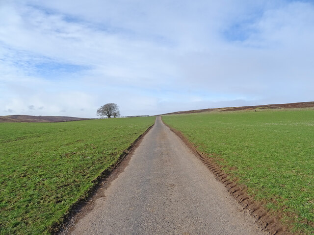
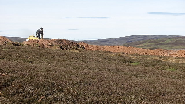
![The Fallago Rig Wind Farm access road Heading north over the Lammermuir hills just over 320m [>1000feet]. Not the shortest route from 'civilization' but much better for the local communities.](https://s1.geograph.org.uk/geophotos/07/33/96/7339677_5b1e5c1e.jpg)
Trottingshaw Wood, located in Berwickshire, Scotland, is a picturesque woodland that covers an area of approximately 100 acres. Situated in the beautiful Scottish Borders region, this wood is renowned for its natural beauty, diverse flora and fauna, and tranquil atmosphere.
The wood is predominantly composed of native broadleaf trees, including oak, birch, beech, and rowan. These trees create a dense canopy, providing shelter and habitat for a variety of bird species, such as woodpeckers, owls, and thrushes. The forest floor is covered with a rich carpet of bluebells, primroses, and ferns, adding to the enchanting ambiance of the wood.
Trottingshaw Wood is crisscrossed by numerous well-maintained trails, making it a popular destination for walkers, hikers, and nature enthusiasts. The paths wind through the woodland, offering stunning views of the surrounding countryside and the nearby river. Visitors can enjoy peaceful walks, observing the local wildlife and soaking in the tranquility of the wood.
The wood is also home to a variety of wildlife, including red squirrels, deer, and badgers. Nature lovers can spot these creatures in their natural habitat, making Trottingshaw Wood an ideal location for wildlife photography and observation.
Managed by the local conservation authority, Trottingshaw Wood is dedicated to preserving its natural beauty and protecting the ecosystem. The wood is open to the public year-round and offers visitors a chance to connect with nature and enjoy the peaceful serenity of this Scottish woodland gem.
If you have any feedback on the listing, please let us know in the comments section below.
Trottingshaw Wood Images
Images are sourced within 2km of 55.817869/-2.5579975 or Grid Reference NT6558. Thanks to Geograph Open Source API. All images are credited.
![Memorial [?] pillar on Dunside Hill Just off the Fallago Rig Wind Farm access road at the col between Dunside Hill and Scar Law. Inscribed J.O.H. 1994, but I have yet to find anything more about it.](https://s2.geograph.org.uk/geophotos/07/34/05/7340550_67e7e0d8.jpg)


Trottingshaw Wood is located at Grid Ref: NT6558 (Lat: 55.817869, Lng: -2.5579975)
Unitary Authority: The Scottish Borders
Police Authority: The Lothians and Scottish Borders
What 3 Words
///consented.spires.pigtails. Near Duns, Scottish Borders
Nearby Locations
Related Wikis

Watch Water
The Watch Water is a river in the Scottish Borders area of Scotland. It rises in the Lammermuir Hills, around 8 kilometres (5.0 mi) west of Longformacus...

Mutiny Stones
The Mutiny Stones are a megalithic monument in the Lammermuir Hills, Scotland.Situated on Byrecleugh Rig, the nearest centre of habitation is at Longformacus...

Longformacus
Longformacus (Scottish Gaelic: Longphort Mhacais) is a small village in Berwickshire in the Scottish Borders area of Scotland. It is around 10 kilometres...

Cranshaws
Cranshaws is a village on the B6355 road, near Duns, in the Scottish Borders area of Scotland, in the former Berwickshire. Of Cranshaws Castle only the...

Cranshaws Castle
Cranshaws Castle or Cranshaws Tower is a privately owned 15th-century pele situated by the village of Cranshaws in Berwickshire, Scotland. The building...

Longformacus House
Longformacus House is a mansion near the village of Longformacus, Scottish Borders, Scotland. == History == The estate was once owned by the Earls of...

Bothwell Water
The Bothwell Water is a river in the Scottish Borders area of Scotland. It rises in the Lammermuir Hills near Caldercleugh and continues past the Upper...

Whiteadder Reservoir
Whiteadder Reservoir is a reservoir in East Lothian, Scotland, UK, in the Lammermuir Hills, 11 miles (18 km) north west of Duns in the Scottish Borders...
Nearby Amenities
Located within 500m of 55.817869,-2.5579975Have you been to Trottingshaw Wood?
Leave your review of Trottingshaw Wood below (or comments, questions and feedback).