Mains Strip
Wood, Forest in Roxburghshire
Scotland
Mains Strip
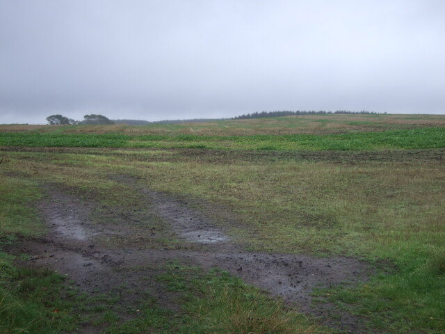
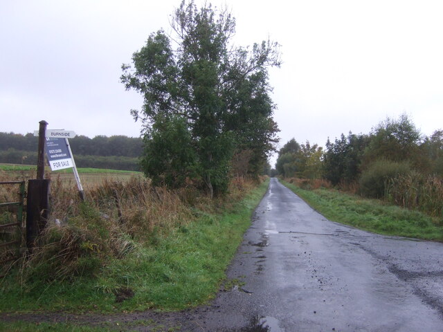
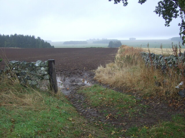
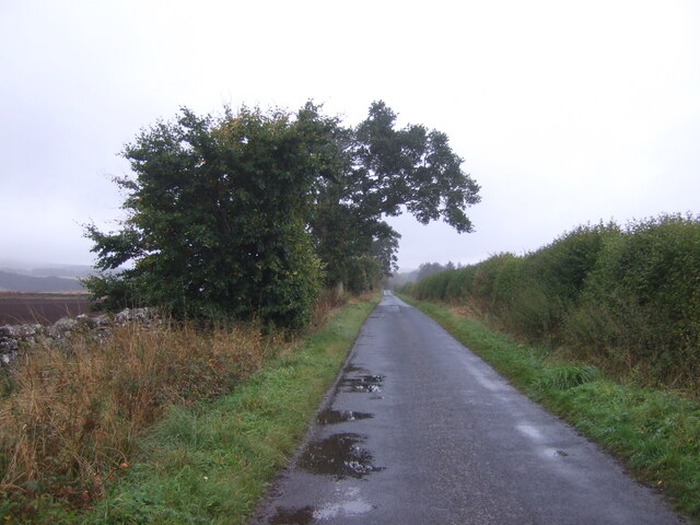
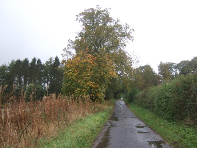
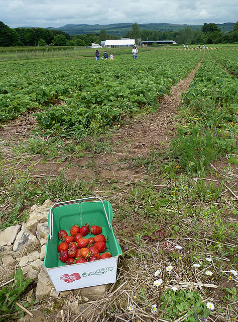
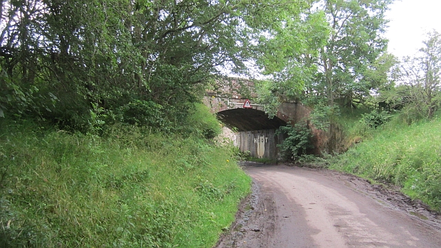
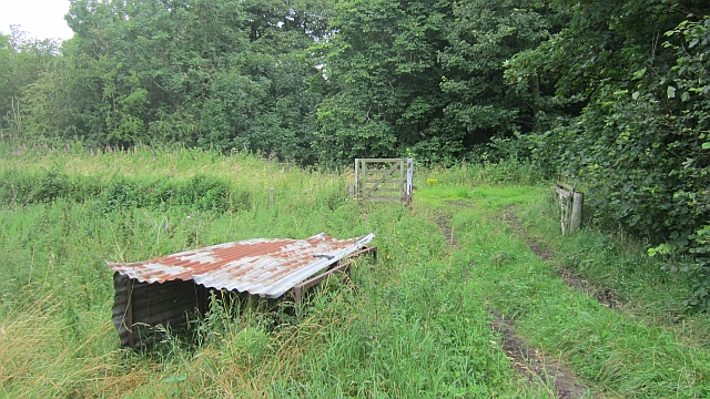
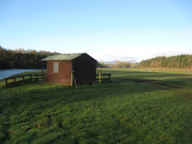
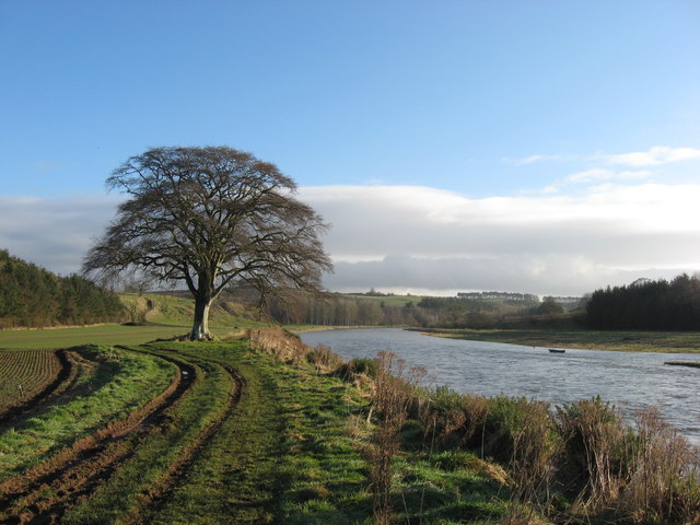
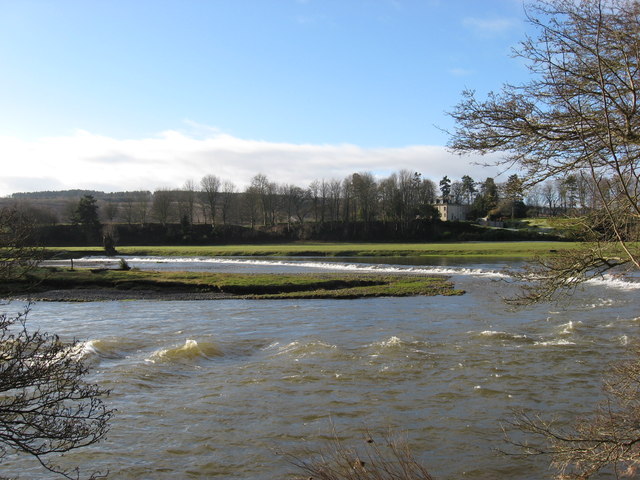
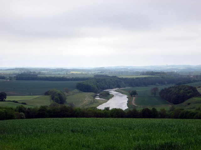
Mains Strip in Roxburghshire, Scotland is a picturesque woodland area located in the heart of the Scottish Borders. Covering an expansive area, Mains Strip is known for its dense forest and beautiful woodlands, offering visitors a serene and tranquil environment to explore.
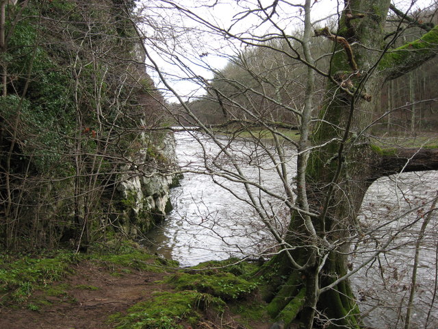
The woodland is predominantly made up of a variety of trees, including oak, beech, and pine, creating a rich and diverse ecosystem. The forest floor is carpeted with a lush undergrowth of ferns, mosses, and wildflowers, adding to the area's natural beauty. The woodlands are home to a wide range of wildlife, including deer, red squirrels, and various bird species, making it a popular spot for nature enthusiasts and birdwatchers.
Mains Strip is crisscrossed with a network of walking trails and paths, allowing visitors to easily explore the woods and take in the breathtaking scenery. The trails range in difficulty, catering to both casual strollers and more experienced hikers. Along the way, there are several viewpoints and picnic areas where visitors can rest and appreciate the stunning views.
The woodland is managed by the local forestry commission, ensuring its preservation and conservation for future generations. The commission also organizes various educational programs and events to promote awareness and understanding of the local ecosystem.
Mains Strip, Roxburghshire is a hidden gem for nature lovers, offering a peaceful retreat where visitors can immerse themselves in the beauty of Scotland's woodlands.
If you have any feedback on the listing, please let us know in the comments section below.
Mains Strip Images
Images are sourced within 2km of 55.568049/-2.554449 or Grid Reference NT6530. Thanks to Geograph Open Source API. All images are credited.


Mains Strip is located at Grid Ref: NT6530 (Lat: 55.568049, Lng: -2.554449)
Unitary Authority: The Scottish Borders
Police Authority: The Lothians and Scottish Borders
What 3 Words
///nuzzling.lifters.cabbage. Near Saint Boswells, Scottish Borders
Nearby Locations
Related Wikis

Rutherford railway station
Rutherford railway station served the parish of Maxton, Roxburghshire, Scotland from 1851 to 1964 on the Kelso Line. == History == The station opened in...

Borders Abbeys Way
The Borders Abbeys Way is a long-distance footpath in the Scottish Borders area of Scotland. It is a circular walkway and is 109 kilometres (68 mi) in...

Makerstoun
Makerstoun is a parish in the Scottish Borders area of Scotland, as well as the historic county of Roxburghshire, 4 miles (6 km) south-west of Kelso.The...

Maxton railway station
Maxton railway station served the hamlet of Maxton, Roxburghshire, Scotland from 1851 to 1964 on the Kelso Line. == History == The station opened in June...

Mertoun
Mertoun is a parish in the south-west of the historic county of Berwickshire in the Scottish Borders area of Scotland. Together with the parish of Maxton...

Mertoun House
Mertoun House is a country house situated by the River Tweed, 2 miles (3 kilometres) east of St Boswells in the Scottish Borders. It is home to the Duke...
Maxton, Roxburghshire
Maxton is a hamlet and civil parish in Roxburghshire, Scotland, and part of the Scottish Borders region. Maxton lies just off the A68, south of St. Boswells...

Smailholm Tower
Smailholm Tower is a peel tower at Smailholm, around five miles (8 km) west of Kelso in the Scottish Borders. Its dramatic situation, atop a crag of Lady...
Nearby Amenities
Located within 500m of 55.568049,-2.554449Have you been to Mains Strip?
Leave your review of Mains Strip below (or comments, questions and feedback).