Burns Plantation

Wood, Forest in Roxburghshire

Scotland

Burns Plantation

Ordnance Survey Flush Bracket 11414 This can be found on the wall of a cottage - a private dwelling - at Charlies Hill.
For more detail see : <span class="nowrap"><a title="http://www.bench-marks.org.uk/bm11884" rel="nofollow ugc noopener" href="http://www.bench-marks.org.uk/bm11884">Link</a><img style="margin-left:2px;" alt="External link" title="External link - shift click to open in new window" src="https://s1.geograph.org.uk/img/external.png" width="10" height="10"/></span>
Ordnance Survey Flush Bracket 11414 Credit: Peter Wood

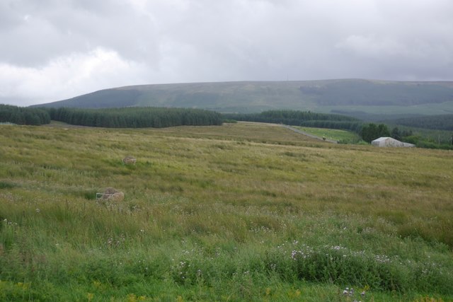
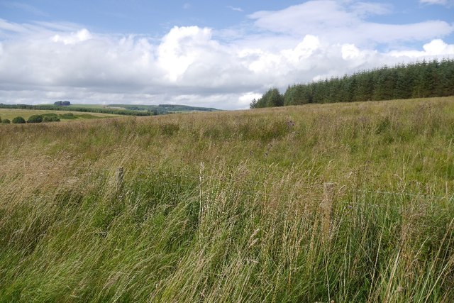
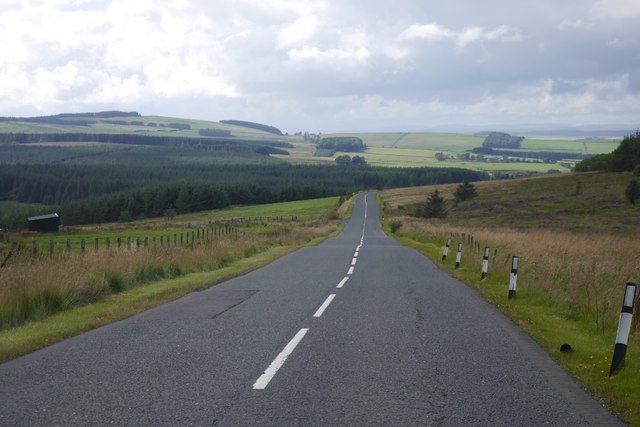
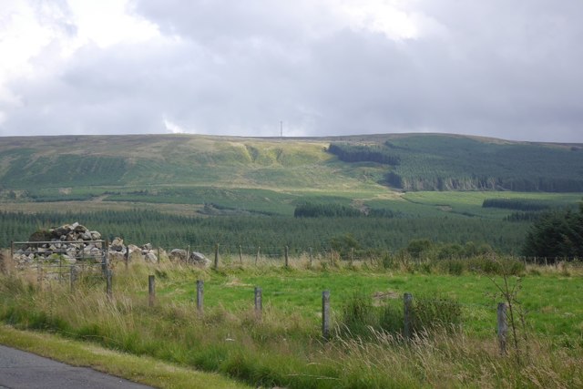
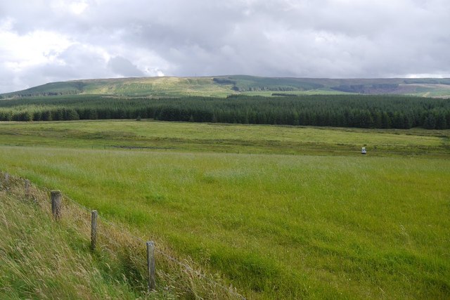
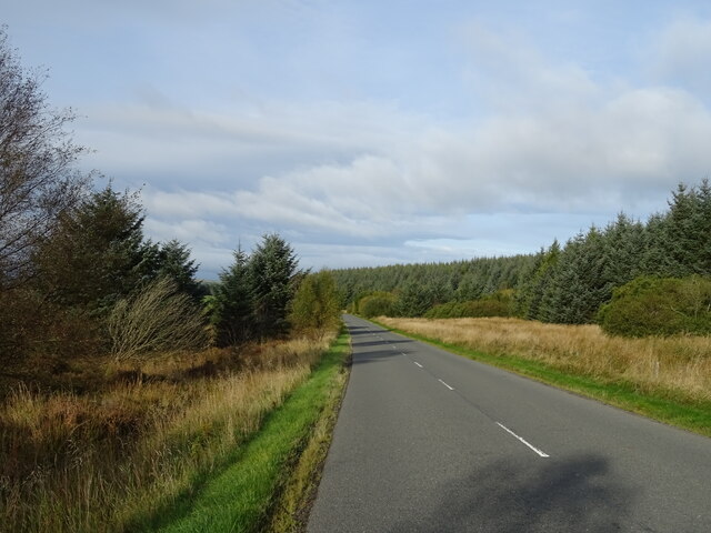
Burns Plantation is a picturesque woodland located in Roxburghshire, a historic county in the southern part of Scotland. Covering an area of approximately 100 acres, the plantation is known for its natural beauty and diverse ecosystem. It is situated near the village of Wood, surrounded by rolling hills and tranquil countryside.

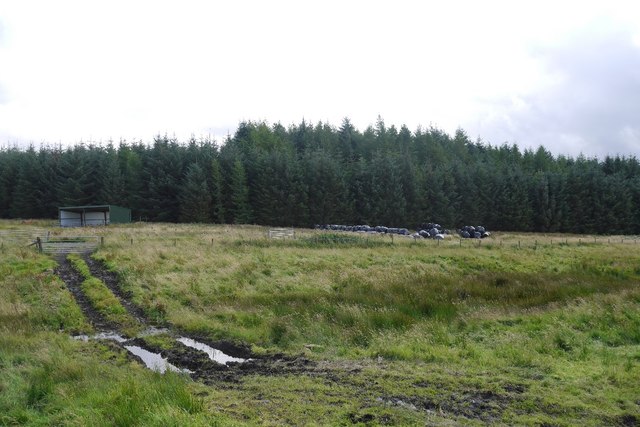
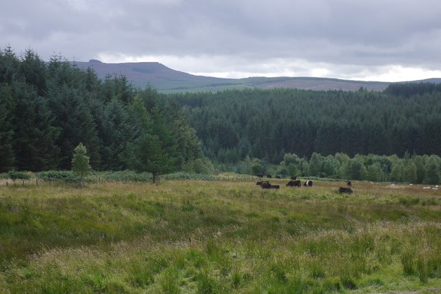
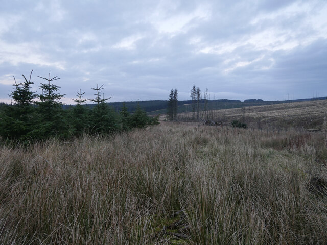
The plantation is primarily composed of various species of trees, including oak, beech, and pine, which create a dense forest canopy. The trees provide a habitat for a wide range of wildlife, such as deer, rabbits, and various bird species, making it a popular spot for nature enthusiasts and birdwatchers.

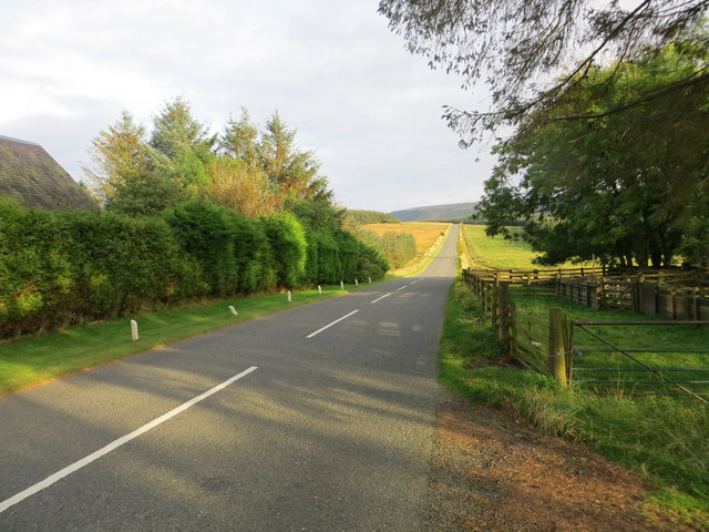
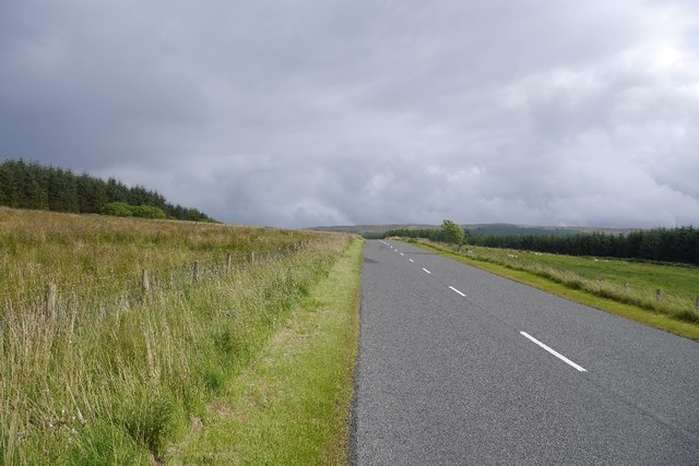
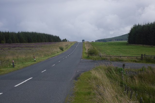
Visitors to Burns Plantation can enjoy a network of well-maintained walking trails that wind through the woodland, offering stunning views of the surrounding landscape. The pathways are suitable for all ages and abilities, and there are information boards along the routes that provide interesting facts about the local flora and fauna.

In addition to its natural attractions, Burns Plantation is also steeped in history. The site was once part of the lands owned by the influential Scott family, who played a significant role in the region's history. Today, remnants of the family's former residence, including a small ruin, can still be found within the plantation, adding a touch of historical intrigue to the area.

Overall, Burns Plantation in Roxburghshire is a captivating destination that combines natural beauty, wildlife, and a touch of history. Whether visitors are seeking a peaceful stroll through the woods or a chance to reconnect with nature, this woodland sanctuary offers something for everyone.

If you have any feedback on the listing, please let us know in the comments section below.

Burns Plantation Images

Images are sourced within 2km of 55.353944/-2.5515149 or Grid Reference NT6506. Thanks to Geograph Open Source API. All images are credited.

Ordnance Survey Flush Bracket 11414 This can be found on the wall of a cottage - a private dwelling - at Charlies Hill.
For more detail see : <span class="nowrap"><a title="http://www.bench-marks.org.uk/bm11884" rel="nofollow ugc noopener" href="http://www.bench-marks.org.uk/bm11884">Link</a><img style="margin-left:2px;" alt="External link" title="External link - shift click to open in new window" src="https://s1.geograph.org.uk/img/external.png" width="10" height="10"/></span>
Ordnance Survey Flush Bracket 11414
This can be found on the wall of a cottage - a private dwelling - at Charlies Hill. For more detail see : LinkExternal link
Road (A6088) at Charlies Hill Looking north-westward from cottage entrance.
Road (A6088) at Charlies Hill
Looking north-westward from cottage entrance.
Track near Southdean The newly surfaced track links the A6088 with the forest road within the plantations around the Jed Water.
Track near Southdean
The newly surfaced track links the A6088 with the forest road within the plantations around the Jed Water.
Rough grazing, Charlie's Hill View towards Carter Fell.
Rough grazing, Charlie's Hill
View towards Carter Fell.
Steele Knowe Some very rough grassland between the plantations and road.
Steele Knowe
Some very rough grassland between the plantations and road.
A6088, Steele Knowe A quiet road which links Hawick and Carter Bar.
A6088, Steele Knowe
A quiet road which links Hawick and Carter Bar.
Rough grazing Although mapped as forest, there is a wide strip of grassland between Wauchope Forest and the A6088. At the time it was grazed by belted Galloway cattle.
Rough grazing
Although mapped as forest, there is a wide strip of grassland between Wauchope Forest and the A6088. At the time it was grazed by belted Galloway cattle.
Belted Galloway cattle A herd of belties beside Wauchope Forest with the Cheviot hills in the background.
Belted Galloway cattle
A herd of belties beside Wauchope Forest with the Cheviot hills in the background.
A6088 A road links Hawick with the A68 on Carter Bar. The road on the right is a logging road into Wauchope Forest.
A6088
A road links Hawick with the A68 on Carter Bar. The road on the right is a logging road into Wauchope Forest.
A6088 Westward (i.e. towards Bonchester Bridge and Hawick) view along the road.
A6088
Westward (i.e. towards Bonchester Bridge and Hawick) view along the road.
Wauchope Forest A view from the A6088 towards Carter Fell, across vast conifer plantations.
Wauchope Forest
A view from the A6088 towards Carter Fell, across vast conifer plantations.
Rough grazing Mapped as conifer woodland, this is a biggish area of rough grazing between Wauchope Forest and the A6088.
Rough grazing
Mapped as conifer woodland, this is a biggish area of rough grazing between Wauchope Forest and the A6088.
Burns Bothy Taken in around the late 1980's this was an MBA maintained bothy but vandalism put paid to that and it has now been demolished.
Burns Bothy
Taken in around the late 1980's this was an MBA maintained bothy but vandalism put paid to that and it has now been demolished.
Sunset and Sitka The Wauchope Forest at sunset as viewed from a former access track for coal mines on Carter Fell.

This photograph was taken during the Coronavirus (COVID-19) pandemic of 2020.
Sunset and Sitka
The Wauchope Forest at sunset as viewed from a former access track for coal mines on Carter Fell. This photograph was taken during the Coronavirus (COVID-19) pandemic of 2020.
Dusk in the forest The route of the former Carter Fell coal mines access track heads down towards the Carter Burn.  

This photograph was taken during the Coronavirus (COVID-19) pandemic of 2020.
Dusk in the forest
The route of the former Carter Fell coal mines access track heads down towards the Carter Burn. This photograph was taken during the Coronavirus (COVID-19) pandemic of 2020.
Woodland near Fellside
A6088 near Fellside Towards Chesters.
A6088 near Fellside
Towards Chesters.
Sheep and woodland near Fellside
Show me another place!

Burns Plantation is located at Grid Ref: NT6506 (Lat: 55.353944, Lng: -2.5515149)

Unitary Authority: The Scottish Borders

Police Authority: The Lothians and Scottish Borders

What 3 Words

///fears.tightrope.green. Near Jedburgh, Scottish Borders

Nearby Locations

Burns Plantation

Related Wikis

Have you been to Burns Plantation?

Leave your review of Burns Plantation below (or comments, questions and feedback).